Welcome to the fourth and final part of Oldbury Tours’ year in photographs.
As Autumn grew into Winter people started getting back in touch more regularly about tours, a good omen hopefully for 2022.
My autumn started in much the same vein as the summer, researching new sites around the UK, particularly sites with relevance to the prehistoric story of Wiltshire. I fitted in a few tours though and had my car branded with stickers by Barefoot Signs of Devizes.
In October my wife was working in Derbyshire so I went along too with our son. While she worked we visited some sites in the Peak District where there is a wealth of prehistoric interest to almost rival Wiltshire!
So it is there that we start, at Arbor Low in the Peak District.
This stone circle was once comprised of about forty standing stones with an additional central feature. All the stones are now fallen. The massive ditch and bank that surrounds it may be a little older but the whole thing dates from the end of the British Stone Age, about 4,500 years ago.
The information panel at Arbor Low has a useful artist’s impression of the site although the timeline at the bottom is confusing
Looking across the henge entrance it is possible to make out the much earlier mound of Gib Hill in the middle distance
A couple and their dog approach the Early Neolithic burial mound known as Gib Hill Long Barrow which could be as much as a thousand years older than the henge at nearby Arbor Low
A visit to Youlgreave Church brings me to the remarkably well preserved tomb of Thomas Cockayne who died in a duel in 1488 just after the end of the Wars of the Roses
Also here is this unusual Norman font,,,,
…and a wonderful stained glass window by the pre-Raphaelite artist Edward Burne-Jones, made at the William Morris factory
On the way to our next site we surprise a small herd of very dark-backed fallow deer….
…and pass through some gorgeous woodland
There are several prehistoric sites on Stanton Moor near Birchover including this Early Bronze Age stone circle known as The Nine Ladies, who legend has it were turned to stone for dancing on the Sabbath…
…nearby the King stone is said to be the petrified fiddler who played the tune they were dancing to.
In the golden hour before sunset our long shadows and that of the king stone point towards the stone circle acting like a gnomon on a sundial
Back in Wiltshire I have my car branded by Barefoot Signs (Silbury Hill can be seen in the distance beyond the black-wrapped bales of hay)…
…and fit in a tour to a familiar site.
As a native of Pembrokeshire, my wife has long been keen to walk the Pembrokeshire Coast Path, a project we began in 2021
The scenery is spectacular…
…and there are plenty of sites of interest along the way including this Iron Age hillfort ahead of us on the cliff top.
Pembrokeshire is also famous as the place of origin of Stonehenge’s ‘bluestones’,,,
…petrographic studies have matched at least one to this outcrop of spotted dolerite known as Carn Goedog in the Preseli mountains.
The Pembrokeshire bluestones are the smaller stones at Stonehenge that form two of the inner rings. They are dwarfed by the massive sarsen stones of the outer circle.
The largest of the bluestones has an enigmatic man-made grove down one side which may well have been carved in Pembrokeshire where it could have been part of an earlier monument…
…it is now part of the innermost setting inside the horseshoe of giant sarsen trilithons whose tallest stone, no 156, looms over it. Note the tenon carved on top of stone 156…
…which was made to engage with the mortice hole in the lintel that was thrown to the ground when stone 155 collapsed
Some of the pillar-shaped bluestones of Carn Goedog look ready to be transported the 180 miles east to Stonehenge
Back to the coast path and more glorious beaches
From magnificent natural scenery to magnificent human achievements. The back row of Salisbury Cathedral’s choir stalls were the gift of Henry III, who reigned from 1216 to 1272
Another glorious day at Stonehenge in late November. As at the nine ladies of the Peak district I am sure the shadows of Stonehenge are crucial to our understanding of this extraordinary monument
I had three tours in a row around the winter solstice in late December. Avebury doesn’t present us with an obvious solar alignment but it is still holds spiritual value for a lot of people and is a fine place to gather and celebrate significant calendrical events
Stonehenge, however, very definitely does have a solar alignment and it is the setting sun in midwinter…
…that aligns the stones’ shadows with the Stonehenge Avenue, perhaps encouraging celebrants on their way to the river Avon
Pewsey Vale farmer Tim Daw aligned his modern long barrow to the rising sun of the spring and autumn equinoxes. This is the same alignment as the ancient long barrow of West Kennet.
The 22nd December began with a visit to the impossibly picturesque village of Castle Combe…
…with a lovely family from Indonesia…
…before a final 2021 visit to Stonehenge…
…and the Iron Age hillfort of Old Sarum that majestically overlooks Salisbury and its towering cathedral
A Boxing Day walk from my home in Calne with my eldest daughter brought us to the Dumb Post Inn in Bromham. This golden hour picture was taken looking south from their terrace and is probably my favourite photo of the year. I hope you’ve enjoyed the tour.
Welcome to the third part of Oldbury Tours’ year in photographs, a pictorial journey through the months of a second COVID struck year.
Unsurprisingly the summer months are usually our busiest; tourists fly in from all over the world to enjoy the spectacular landscapes and countless historic and prehistoric sites of the south west of England. But last year was different of course.
With far fewer tours to organise than usual and an easing of lockdown I decided it would be good to extend my knowledge and visit some places a little further from my home territory of Wiltshire. Some of these I had never visited before, others I wanted to get to know more intimately than time had previously allowed.
The sites I visited were all in the south west of England and Wales and span the ages from the Neolithic of 4000BC, through the middle ages and up to the present day. They are all significant places with fascinating histories, places steeped in meaning and atmosphere. They are places of spiritual weight that meant a huge amount to the people that constructed them. Most present something of the belief systems of their constructors or of their relationship with Nature, the more remote they are from us in time the more enigmatic they become. Many of the oldest are associated with legends and myths, attempts by more modern people to give meaning to their mystery.
Through the following photographs I hope you enjoy ‘visiting’ these wonderful places as much as I did.
At this point I must say a big thank you to Wilshire Council whose grants throughout the Covid period have enabled Oldbury Tours to keep going and remain optimistic that soon our tours will be running in a more sustainable pattern.
I’m always looking to increase the scope of our tours and one expanding interest I have is into the Saxons of Wessex. So July 1st saw me at the heart of their kingdom, Winchester, and that is where we start now.
The towering nave of Winchester Cathedral is as impressive as any in the UK
Many Saxon kings were buried at the two minsters of Winchester, their bones now lying in medieval wooden mortuary chests high above the choir. Included are those of Cynegils and Cenwahl from the 7th century and Alfred the Great’s father and grandfather, Aethelwulf and Ecgbert
Nearer home a crop circle appeared in a wheat field owned by The Gourmet Goat Farmers of Avebury. They welcomed visitors and asked for a donation to Wiltshire Mind Charity
Viewed from the Ridgeway the crop circle can be seen just outside the massive bank of Avebury’s henge
With the summer at its height common lizards can be found basking in the sun along Wiltshire’s Ridgeway path – a national trail that follows the chalk ridge for over seventy miles
Next, a visit to the Rollright stones in Oxfordshire, a collection of Neolithic and Bronze Age monuments
‘The Whispering Knights’ is how this Neolithic burial chamber is known. The stones huddle together allegedly to plot against the king, or so legend has it
A few hundred metres away is this Bronze Age stone circle known as ‘The King’s Men’.
And so down to Cornwall to see more prehistoric sites. But first I paid a first visit to the Eden project, a modern day celebration of Nature, on a beautiful July day
The ditch and bank protecting Castle Dore is still impressive…
…and the Iron Age hillfort, associated in legend with Tristan and Isolde, has wonderful views.
A trip to Bodmin Moor and a greeting from some belted Galloway cattle, the youngster on the right being particularly eye-catching
There are no less than three stone circles in a line up here on the moor. Known as the Hurlers, legend has it that the stones were once men playing a local game on a Sunday who were turned to stone as a result
As is usually the case, the natural setting chosen for these monuments was evidently all important
Nearby the Cheeswring stone stacks are awe-inspiring. Natural rock formations these extraordinary features may well have inspired the megalithic builders of the Neolithic and the Bronze Age
It is hard to comprehend that these are actually natural…
… and I’m sure our ancestors felt the same. On top of one of the stacks these ‘cup marks’ as they are known date from the late Neolithic or early Bronze Age and hint at a connection felt between the people and the site
10 minutes away by car Neolithic man produced his own improbable balancing act. One of Cornwall’s best preserved tombs, 5,800 year old Trethevy Quoit, whose capstone is pierced near it’s up tilted end, is a joy for me to see for the first time
Back within day-tour reach for Oldbury Tours, Glastonbury Abbey has a wonderful collection of legend and history. The Lady Chapel seen here stands on the site of the earliest church which dated from about 700. Popular belief in the medieval period was that this was the earliest Christian site in Britain established by followers of Christ in the 1st century AD
Here, medieval monks claimed to have found the graves of Arthur and Guinevere. Glastonbury is more reliably known to be the final resting place of the Saxon King Edgar the Peaceful (959 – 975) and Edmund Ironside, briefly a king in 1016
Back on my home patch at Avebury the National Trust and English Heritage have provided terrific new information panels at all my favourite sites, including West Kennet Long Barrow…..
…a long barrow it certainly is!…
…and Silbury Hill
It’s hard to imagine this without the grass but it was once a pure white chalk pyramid. You are not allowed to climb Silbury Hill but nevertheless some people have (top left) and they do help give a scale in this photo
At the Stonehenge Visitor Centre are these full size representations of how the Neolithic houses excavated at Durrington Walls near Stonehenge would have looked in 4500BC, With few tourists around these reproductions were also given a good tidy up.
Back ‘on the road’ again we arrived at Corfe by steam train. The town’s magnificent Norman castle can be seen on the hill behind
The impressive ruins of Corfe Castle in Dorset…
…it was here, before the castle was built, that the Saxon king Edward the Martyr was killed in 978, allegedly on the orders of his stepmother
And on to Manorbier in Pembrokeshire to visit another Neolithic burial chamber or Portal Dolmen as they are known
Back in Wiltshire, a few tours did happen. A family group enjoys West Kennet Long Barrow…
…some work colleagues pose in front of the Devil’s Chair, Avebury…
and a group of students enjoy perfect weather at Stonehenge
The stones look stunning on a late August evening.
Welcome to the second part of Oldbury Tours’ year in photographs, a pictorial journey through the months of a second COVID struck year.
With the Winter of 2020 -21 over we now move into Spring. There was some optimism as the colour returned to Wiltshire. My walks got longer and, as restrictions slowly eased, a few more people showed interest in touring our wonderful county and its plethora of fascinating archaeological and natural sites.
Over these few months I met people at Avebury for walks around the Neolithic landscape and picked others up from hotels in Salisbury, Bath and Marlborough to explore places further afield. I also carried on my research visiting sites I hadn’t been to before and we start in April with one of those and the blackthorn bushes full of blossom.
A beautiful day to visit an early Neolithic tomb, built c.5,800 BC just outside Wiltshire, in the county of Somerset
The ancient tomb occupies a hilltop position
The swirling shape of a fossilised ammonite guards the entrance to the tomb. Millions of years old, what did our ancestors imagine it to be?
And always I am drawn back towards Cherhill and Oldbury hillfort, far in the distance here
On Good Friday a Christian cross is added to the monuments on Cherhill
Appropriately enough it is placed on a Neolithic Long Barrow – an ancient ‘place of the skulls’
A tiny wren sings it’s hopeful, trilling note
Avebury Manor, St James’ church and lush pasture create an unmistakably English idyll
It’s time to pay a visit to one of the region’s most important archaeological sites on the windmill-less Windmill Hill
In the valley below, the Winterbourne stream runs swiftly south towards Silbury Hill…
…and the great stones of Avebury look awesome on a blustery April afternoon
Equally magnificent, a red kite strikes a proud pose
Waiting for clients at the Gainsborough Spa Hotel in a sunny and unusually quiet city of Bath
Still April but it’s warm enough for shorts at Avebury’s Devil’s Chair…
…and inside another Neolithic Burial site, the famous West Kennet Long Barrow
You know summer is approaching when the Chiffchaffs arrive
From high up on Waden Hill, Bronze Age Silbury Hill stands out against a bright yellow field of May-flowering Rapeseed
Perhaps the best way to enjoy the Sanctuary’s stone circles is to lie back and soak up the view
Sheep use the giant stones of the Avebury cove for shade from the June sun
Amazingly, the enormous bank at ditch at Avebury have a circumference of a little under a mile
Which way shall we go? It’s right to Silbury Hill
Lunch al fresco at the Barge Inn, Honeystreet on the Kennet and Avon canal
A serene and very nearly empty Stonehenge – but look closely!
Sometimes the Bronze Age carvings at Stonehenge, towards the bottom of stone 53, stand out clearly even from a distance
Having zoomed in you can clerly see the vertical shafts of axes (semi-circular blades pointing up) and to the left a dagger it’s blade pointing down
It’s a bit late but…Happy New Year from Oldbury Tours!!
Like everyone else, we at Oldbury Tours hope that 2022 will bring us all back to a life we can recognise as normal. I hardly need to say that last year was a strange and difficult one. The tourism industry obviously took a massive hit and I was only able to show a few people around my beloved Wiltshire.
The few tours I managed were spread throughout the year at an average of one or two a month. Encouragingly the winter solstice period around the 21st December was particularly busy with three tours in three days!! Having to get up early to wash the car each day reminded me of the busy times of 2019 that will hopefully return this year.
In the meantime I thought it would be good to reflect on 2021 without too many words.
The first quarter of the year saw us in lockdown so I couldn’t venture too far from home. I did manage one tour however an outdoor day walking from Honeystreet in the Vale of Pewsey to Avebury.
January snow dusts Cherhill our local highpoint. It is surmounted by Oldbury Castle, an impressive Iron Age hillfort and the Lansdowne monument
White on white: In 1780 a white horse was carved below the hillfort’s ramparts.
Lacock Abbey is a popular destination for Oldbury Tours – I love telling the medieval tale that links Lacock with Countess Ela, William Longspee, Salisbury Cathedral, King John and King Richard the Lionheart.
A February visit to West Woods from where at least one of the Stonehenge stones was collected and dragged over 20 miles to be part of the great monument.
Nearby more sarsens fill the fields of Lockeridge Dene.
Shadows from the giant Avebury sarsens protect the frost from the February sun.
In late winter water often fills the area around the base of Silbury Hill – I have little doubt that the monument’s late Neolithic builders were deliberately harnessing Nature to their purpose.
Back with the naked trees of West Woods, a wonderful place in winter and early spring.
Lesser Celandine – a welcome yellow starlet – is one of the first flowers to show in Spring, lining roadsides and the woodland fringes.
My first client of the year – I joined Dan on the final stretch of his ‘life-affirming’ walk from Avebury to Stonehenge and back again.
We pass the ancient enclosure on Knap Hill (c.3600BC)…
…and the unexcavated East Kennet Long Barrow of similar age.
Contentment as the pilgrimage ends where it started – at the Devil’s Chair, Avebury
March is a good time to visit Swallow Head spring: the source of the river Kennet and the probable reason for Silbury Hill’s existence. In summer the banks are an impassable tangle of nettles and briars.
Among the chalky grey crop-less soils of March a yellow hammer, in its spring plumage, is uncomfortably conspicuous.
A stile encourages the walker on and up…
…back up to Oldbury Castle, the white horse lying neatly on the hillside. Three walkers on the hilltop earthworks provide a useful scale.
Spring daffodils enjoy the view across the lake to Bowood House near Calne.
In part 2 we will travel through the colours of spring from April to June.
A walk to Stonehenge through one of the richest archaeological landscapes in the UK.
Part III – The final journey. From Durrington Walls to Stonehenge.
This is part three of a personal pilgrimage from my house in Calne, Wiltshire to Stonehenge for the Stonehenge winter solstice. I am walking the 28 mile route across central Wiltshire with my friend Clive, a born-and-bred Wiltshire man who frequents the same pub as I do in Calne. We spent the whole of 19th December, one of the year’s shortest days, walking the majority of the route as far as Durrington. Unfortunately, perhaps because this was the longest walk he had ever attempted, Clive had to get a bus for the last five miles, which I then covered alone on foot and in the dark. If you haven’t already, I suggest you read parts I and II of our journey first which you can find here: Stonehenge Pilgrimage Part I, Stonehenge Pilgrimage Part II
The Stonehenge Inn, Durrington advertising its Two for One deal
You are joining us now at about 8pm as we sit outside the Stonehenge Inn on the outskirts of the village of Durrington, just two and a half miles as the crow flies from the famous monument. We are going to spend the night here, camping in our cars outside the pub, but first we need to celebrate the day’s achievements. To encourage custom the pub is offering 2 for 1 meals and, because of Covid-19 rules, ordering food is mandatory at the moment when visiting a pub or restaurant; you can’t just order drinks. We both go for the fajitas, which turn out to be enormous plates full, and, to go with our meal, pints of English ale from the Stonehenge brewery I had recently walked past in Netheravon.
Again due to government rules our table for two is in a temporary marquee adjoining the pub – mixed households aren’t allowed to sit inside. The tall gas heater that looms over us helps us spend the December evening in comfort enjoying the entertainment provided by a pretty rowdy group of thirty-somethings. Being so close to Christmas this is of course the time for festive gatherings. We soon discover that our companions are all parents of children in a local football team and this is the occasion of their end of year party, a time to discuss (very loudly) the ups and downs of the season past. The pub takes last orders at 9:30 and everyone has to be out by 10pm, although I’m pretty sure our new friends would have, in normal times, continued into the small hours. Since we are to be sleeping just across the road the early closing is, for us at least, a good thing.
The pub with its concrete replica of Stonehenge created in 2019 by Rhys Bliszko
Rhys Bliszko’s concrete Stonehenge, an accurate scale model which even includes the outlying Heel Stone, ringed in orange
We had parked vehicles here yesterday and I had packed two self inflating Thermalite mattresses which I have owned for years. Clive now provides two army issue sleeping bags borrowed from his son-in-law-to-be. The seats in my seven person SEAT Alhambra fold down completely flat and with this combination I am hoping for a good night’s sleep.
Amazingly I sleep soundly until my phone alarm startles me awake at 06:00. The car’s windows are running with condensation and a map and book I had left beneath the windscreen are wet with it. I get up in eager anticipation of the morning ahead and put a kettle on the Camping Gaz. A check on Clive finds that all is well with him too. We had packed several breakfast items but in the end a cup of tea is all I need, food can wait after last night’s feast.
The biggest change this morning is that Clive and I are to be joined by Matt, another regular of the London Road Inn in Calne, who couldn’t join us walking yesterday because of work commitments. It isn’t long before he cruises up in his new car and we are all fastening on our walking boots. Matt has brought with him his Welsh Collie, Kez, and it is with a spring in our step, albeit a slightly stiff one for Clive and myself, that we set off. It’s 06.45, still an hour and twenty minutes before sunrise. The weather is pleasantly cold with hardly a breath of wind and above us the sky, crucially, is clear. Impressively, considering it is mid winter, Matt is wearing short trousers, cut just below the knee and a light coat, pockets filled with treats for Kez. Clive is still wearing his fluorescent jacket which reflects my torch beam as we walk away from our cars.
Having negotiated the Durrington roundabout we are soon walking gently down hill along the A345 which runs directly through the henge monument known as Durrington Walls. As explained in part II henges are circular banks and ditches unique to the UK that date from the late stone age, the Neolithic. Some, like this one, are massive and to our left now we can see the huge bank of the henge circle as it sweeps in a curve away from us down towards the Avon, the river whose valley we had been following yesterday. Durrington Walls was first recognised as a probable prehistoric site in the late eighteenth century but, apart from a drawing of the earthworks, no further investigation was made until relatively modern times, until in fact the A345 was straightened and widened in 1967.
The northern arc of the henge bank. The village of Durrington is visible top right of the photo.
The view from the east across the henge interior
In this close up the embanked A345 can be seen, the henge continues on the other side down to the river
During planning for this new road it was agreed that a full archaeological excavation of the route should be conducted before the building work was begun, with a caveat that it should be done in a manner that didn’t unnecessarily delay the project. The archaeologist in charge was Geoffrey Wainwright and, because of the time restrictions, for the first time in UK archaeological history he used mechanical diggers to clear the first layers of top soil. It was a ground breaking excavation in more ways than one! The excavation project was the largest the UK had ever seen and it uncovered some crucial information: that the monument was contemporary with Stonehenge and that the enormous bank surrounded rings of huge timber posts set in concentric circles in a similar fashion to the stones of its famous neighbour. The main digging party, including Wainwright, ate, drank (copiously apparently) and slept in the Stonehenge Inn, which is one of the reasons I wanted to enjoy a meal and a beer there last night.
The grass covered western bank of Durrington Walls sweeps around in front of us. The circular bank once had a massive ditch running along inside its curve. Up to 6 metres deep, it was deep enough to bury one of the original 1967 excavation team’s car!.
We cross the road and head up a footpath that follows the narrow course of the pre-1967 road deeper into the henge, eventually arriving at the excellent National Trust information boards. As a result of those first excavations the archaeological community became aware of the importance of Durrington Walls but it wasn’t till 2003 that an attempt was made to gain a more thorough understanding of the monument through some targeted research. The notice boards placed here contain information mainly gained from a series of excavations undertaken between 2003 and 2009 called the Stonehenge Riverside Project.
This millennial project lasted seven years and involved many of the leading archaeologists of the day. Between them they conducted forty five separate excavations across the Stonehenge landscape under the overall directorship of Mike Parker Pearson. The Stonehenge Riverside Project made some startling discoveries but the one that probably stands out from the rest was that Durrington Walls had been the site of previously unsuspected stone age houses. This is the first settlement of its type found in England and, containing probably hundreds of houses, it constitutes the largest village of its period discovered in north-west Europe.
The sweep of the east bank stands out well after a light March snow. The excavated houses were found in the ringed area down near the river Avon.
In total seven houses were excavated but the total number can only be guessed at for now. To quote from Parker Pearson’s book Stonehenge. Exploring the greatest stone age mystery: ‘Durrington Walls had once been a huge settlement of 17 hectares (42 acres) filled with small, square houses whose surroundings were clogged with Neolithic trash from feasts that must have involved thousands of people.’ And since the sites are contemporary, we are pretty sure these were the people that built Stonehenge.
Constructing replica houses at the Stonehenge Visitor Centre in 2015 based on the excavated house floors of Durrington Walls
An aerial view of one of the excavated house floors . The photo is on the National Trust information board at the site. The numbers show: 1. post holes; 2. packed chalk floor; 3. central hearth; 4. furniture slots; 5. storage pit
There is a striking similarity with the Neolithic houses of Scara Brae in Scotland. It was the Grooved Ware culture originating in the Orkney Islands that eventually dominated the UK and spread as far south as Stonehenge
I mentioned in the last part of this journal that the remains of huge feasts had been unearthed at Durrington Walls and that many of the animal bones recovered were of nine month old pigs that had been born in the spring. This alone provides compelling evidence for an important winter event but it is just the starting point for a whole new interpretation of Stonehenge’s meaning. It is of course all theoretical but this new interpretation is I think, in the main, very convincing. I shall try to keep my explanation brief.
As a result of Stonehenge’s latitude the sun rises in mid summer and sets in mid winter on exactly opposite horizons, NE for summer’s dawn and SW for winter’s sunset. If you draw a line between these points where Stonehenge stands it forms the axis around which the monument was built. This has been understood for some time and for understandable reasons people have focused on the dawn alignment. The new theory, however, suggests that instead of watching the sun rise in June we should really be looking the other way in December, towards the setting sun of the winter solstice. And with all the new information this does make sense.
Looking out through the front of Stonehenge the so-called Heel stone acts as a gunsight for midsummer sunrise, the sun appearing above the horizon beyond.
Looking from the Heel stone the midwinter sun sets behind the monument.
We don’t know any details of a contemporary religion or set of beliefs but the people that built Stonehenge were farmers and reliant on a knowledge of the seasons to gain the best results from their land. They were perhaps superstitious too. At any rate reaching the shortest day in mid winter for them was a major reason to celebrate: there were still cold days ahead but they knew that soon the days would lengthen and warm and mother earth would again become fertile. They might well have counted the days from this point so that crops were sown to their best advantage. And perhaps they also believed it was their priests and the rituals held at Stonehenge that ensured the days didn’t continue to shorten? I think it is important to inject ideas like this because it presents an image that we can easily appreciate but it is of course just my imagination taking over, so let’s look at some more of the science.
The winter sun sets behind Stonehenge
Since excavations in the 1920s we have known that there are a considerable number of burials at Stonehenge, probably well over a hundred, perhaps over two hundred. These were mainly cremation burials found in a circle of fifty two pits called the Aubrey holes that surround the stone monument in an evenly spaced ring about 100 metres in diameter. We also now know that these human remains date from about 3000BC, five hundred years before Stonehenge itself was built. There is no doubt in my mind that the people living at Durrington Walls, who we are sure erected the stone monument, knew of their presence, they were quite probably the graves of their ancestors. In that case they knowingly built Stonehenge in the realm of the dead.
Some of the Aubrey holes that ring Stonehenge and contain older cremation burials are marked on the ground but are easily overlooked.
It makes sense that the timber circles that Wainwright discovered in 1967, in among the newly discovered houses at Durrington Walls, were in some way for the villagers’ use. Perhaps the structures were used as temples and/or places of assembly for the elders. Parker Pearson believes that the stone version we know and love was similarly provided for the people buried in that ring of pits: a permanent temple/assembly hall for the ancestors made out of a material that will last forever.
It has long been a mystery as to why the architects of Stonehenge used carpentry techniques when building the monument. It seems unnecessary but they carved mortice and tenon joints to secure the horizontal lintels unto the uprights and joined the lintels of the outer circle using the tongue-and-groove technique. They also first shaped the uprights into oblong pillars and the lintels to curve around the circle. When you take into account that the Sarsen stone they were carving is one of the hardest known, it all adds up to an extraordinary effort. But if you consider that they were copying the wooden temples of the land of the living and wanted to replicate them exactly, then it makes more sense.
Some of the mortice holes can be seen if you look up.
A curve of shaped uprights and lintels
The most obvious tenon carving is on the top of stone 56, the tallest stone still standing, seen here at the back of the picture.
Midwinter marks the death of the old year but also the birth of the new. Therefore it would seem an appropriate time to celebrate the ancestors, and perhaps also the recently departed, especially if they believed in reincarnation. Analysis of animal bones tells us that the people who gathered at Durrington Walls didn’t all live there permanently but travelled from all across the UK to gather for special occasions, some covering hundreds of miles on their pilgrimage. Perhaps, and again this is my little theory, their midwinter festival included a mass funeral: families that had lost a relative during the previous year brought the cremated remains to Stonehenge as part of a collective ceremony that brought that year to a close. There is an avenue that leads from Stonehenge all the way, 1.8 miles, to the river Avon. Perhaps the celebrants followed this route to the river where the ashes were ceremonially deposited. The sun rises the next day giving birth to the new year and the cycle starts again….just an idea.
An arrow in the grass points away from Stonehenge down the Stonehenge Avenue, visible as two faint but darker green parallel lines running down the slope.
Seen from the other angle the low winter sun makes the Stonehenge Avenue more obvious.
The Stonehenge Avenue bank and ditch runs across the picture from right to left. At the bottom of the slope it turns right to pass through the gap in the tress on the ridge and on to the river Avon.
I have been a little nervous about how to break the news to Clive and Matt that we should probably be doing our walk this evening to see the sunset, so decide to leave the theorising till we get nearer the stones. We turn our backs for now on the banks of Durrington Walls and head across the road and into a field of tussocky grass. To our left is Woodhenge, another contemporary timber version of Stonehenge, which was discovered in 1925 long before Durrington Walls across the road shared its secrets. The original excavators led by Maud Cunnington erected knee high circular concrete pillars to indicate where massive timbers had once stood. As is the norm with these timber structures there were six concentric circles always with an even number of uprights. Free to visit it is a great place to get an impression of the scale of these timber temples/monuments. You can park your car here and walk like we are today to Stonehenge in the footsteps of our ancestors.
Concrete pillars mark where the huge timbers of Woodhenge once stood.
We only have time for a quick look at Woodhenge in the lifting darkness before we press on south west across the field. Kez, Matt’s Welsh Collie, runs off leading the way, his head hanging low in a lupine fashion, his back legs seemingly trying to out run his front so that he trots along at an angle of twenty five to one on the clock face. They have walked here before and Matt reckons his dog has either remembered the way or is just following the scent left by other people on the path. Kez is very well trained and knows to wait for a treat from his master where a gate or stile ends a field. I am nevertheless concerned that he should be on a lead, there are often sheep in this field and I am sure we will meet cattle and sheep in the landscape around Stonehenge; but Matt assures me all will be fine.
We follow Kez to the far corner and turn right onto the route of an abandoned railway, the lines of track long since removed. Known as the apple track the wide route is lined by hedgerows of native plants regularly interspersed with apple trees grown from the pips of cores possibly thrown from trains. During the first world war this military light railway brought troops and supplies from Amesbury to the camp at Larkhill. The track was torn up in 1935 but the trees give a gentle reminder of the men who were trained here before embarking for the trenches of France.
The Apple track on a sunny day in August
I am on very familiar ground here as I often include this walk on one of my tours so it is nice not to have to think about the route. The track narrows now as we progress uphill, fields and long views to our left and, soon, the gardens of officers’ houses on our right. Larkhill is still a garrison town and is home to the Royal School of Artillery, whose guns and gunners can often be heard practising on the plain to the north of us. Passing a paddock with two feeding horses we reach King Barrow ridge. Running away from us to the front is an early Neolithic monument known as the Stonehenge Cursus, just one of many ancient monuments that share the landscape with Stonehenge. This huge earthwork dates from a thousand years before the stone monument but is otherwise an enigma. It was never more than a pair of parallel banks and ditches set about 100m apart that run straight across the landscape for about 1.7 miles from where we are standing to the ridge in the distance. One suggestion is that it creates a boundary between the land of the dead and the land of the living but nobody actually knows for sure what its significance was.
The Stonehenge cursus is hard to see but the parallel banks predate the Stonehenge stones by over a thousand years.
Most importantly, however, from here we get our first distant sight of Stonehenge, showing very dimly in the blue quarter light; our destination is within reach. We turn left to walk along the ridge which is dominated by large bronze age burial mounds, the ‘old’ and ‘new’ king barrows, most of which support mature beech trees or stand, grass covered, half hidden in brambly woods. Kez gets excited here and picks up a stick, barking and growling with us to play with him. We are advised that the only thing to do is ignore him and he will eventually give up, which, eventually, he does.
This is the first view you get of Stonehenge, far off in the distant left below the orange arrow, from the end of the cursus.
It is easy walking here and we chat happily and enjoy the views. It is brightening fast however and I start to worry that we might not be at the stones in time. It isn’t long though before we arrive at the previously mentioned avenue which leads from Stonehenge to the river. Mike Parker Pearson, I should say however, reckons it leads the other way, from the river to the stones. If you remember his project was called the Stonehenge Riverside Project and its main original objective was to see what role the river Avon played in this landscape of monuments. Knowing that Stonehenge had its own avenue to the river he hoped to find a similar connection between the river and Durrington Walls. In year one he managed just that, finding a wide roadway of packed flint leading from the southern of the henge’s timber circles to the water: the Durrington avenue. Noticing that the southern circle at Durrington and its avenue are aligned on midwinter sunrise he developed a theory and this is the picture it paints:
At dawn in midwinter celebrants watch from the southern circle at Durrington as the sun rises in its predicted place. With full ceremony they process towards it and the river Avon along the wide Durrington avenue. Here they embark on rafts or boats to follow the river as it meanders downstream until, arriving at the end of the Stonehenge avenue, they disembark. Appropriately during the Stonehenge Riverside Project they discovered the site of a stone circle at this point, where the celebrants might now partake in a ceremony of sorts. From here they process up the Stonehenge avenue which runs first to the north-west before turning west to cross the ridge where we are standing and down into the valley in front of us. At the valley bottom the stones are briefly hidden from view behind the rising ground to the left and it is here that the avenue turns sharply to run its last section south-west. The celebrants have perhaps taken all day to get to this point. As they ascend the slope towards the monument it rises out of the ground in front of them, slowly revealing itself. They then have the spectacle of the sun setting directly behind the monument as they make their final approach.
Approaching Stonehenge along the Avenue for the Spring Equinox in 2018 (photo: Frazer Waller)
It’s a pretty neat story but I still think it is the other way that is important and it is the revered sun that makes me think so. You see, as the midwinter sun sets behind Stonehenge, standing as it does high up on its dome of land the shadows it casts lengthen and lengthen and lengthen again straight down the demarcated avenue. They become impossibly long reaching all the way down the slope, over 400 metres, to the point where the avenue turns to head towards the river. Surely this was an important and planned piece of theatre, it is just too good not to be.
As the midwinter sun sets behind Stonehenge its shadows reach extraordinary lentghs
Stonehenge casts its shadow down the length of the Stonehenge Avenue which leads to the river Avon. When all the stones were present the shadow would have been solid, filling the whole avenue without todays gaps.
We follow the avenue down off the ridge, Kez again leading us on. Beyond the gate at the bottom is a large dispersed grazing flock of sheep and it is here that I discover why Matt was not worried about Kez’s behaviour. Despite being a Welsh Collie, Kez is scared of sheep! He will do his best to avoid them, usually by taking the long route around the whole flock. With us as back up today however he braves up and walks with us, the sheep calmly separating in front of us.
At this time of year the ram is in with the ewes, a tub of orange dye tied to his chest to mark the females.
As Stonehenge looms large we can see that there are very few people here. A group of about twelve, who seem to be part of a guided tour, are standing off to our right and a family is approaching from the direction of Amesbury. During normal years there are four occasions when the general public can walk up to Stonehenge at dawn without a ticket and wander in among the stones. The winter solstice is one of them (the others being the summer solstice and the two equinox mornings) but Covid rules mean that today we all have to stand behind the fence. At the moment the only people within the boundary rope are security guards and English Heritage staff.
Pre-dawn Stonehenge stands empty.
The sky above us is still clear but as daylight creeps in we can see a low bank of cloud sitting on the eastern horizon. It is ten minutes to eight, with the sun due to rise at eight minutes past and the pastel blue sky above the grey clouds is taking on a salmon pink hue. All is calm and everyone looks on expectantly. Just before eight a minibus comes down the lane from the visitor centre and a group of twelve men and women climb down. They walk in a long line chatting and smiling towards the stones. Most are dressed in long robes or gowns with heavy cloaks thrown over their shoulders and clasped at the throat; some are more simply attired in plain white robes belted around the waist. A few have hats but all are carrying something, a tall staff or a basket of offerings. The man out in front has an impressive silver-hilted sword sheathed in a black scabbard on his left hip, a deer skin on his back. A black-caped man behind him carries a tall standard with, among other things, oak leaves emblazoned on it. These then are modern day druids who have been given special permission to celebrate dawn today within the stones because of their religion.
The celebrants arrive: the lucky few allowed beyond the fence for the Winter Solstice 2020.
Modern druid beliefs include a form of animism, where everything around them is filled with a flowing spirit, their ‘god’ is the natural world, Nature in all its guises. The all-pervading life force is known to them as Awen which can, if desired, be equated with the god of an established religion such as Christianity – not all druids are pagans. Often ridiculed as tree-huggers, etc., they believe in peace and being at one with the world they share with Nature; modern druids believe in safeguarding the planet and I can’t see anything wrong with that. It is a very simple and fluid set of beliefs, with a broad scope and few rules, and much less dogma than the various structured, established religions. Each follower has the freedom to find their own path; ‘so may it be’ rolls readily off their tongues, ‘blessed be’ is their ‘amen’.
The celebrants form their own circle within the stones.
Modern druidry aside, one thing I should add is that, contrary to an often held opinion, the building of Stonehenge had nothing to do with the ancient druids. They were a caste of Iron Age priests operating in what are known as the Celtic lands of Gaul and Britain. The only references we have for them are in the writings of classical authors such as Tacitus and Julius Caesar and it is unlikely they existed before 600BC. Stonehenge was built, rebuilt and added to on several occasions between 3000BC and 1600BC, it is a Neolithic and Bronze Age monument.
We watch the group process into the centre of Stonehenge and begin their rituals, forming their own circle within the rings of stone. The sunrise moment comes and goes with the sky becoming a little rosier and brighter, the grey clouds tinged with colour. After an half hour or so taking pictures and chatting with others who have turned up for the event we decide it is time to head back to the cars, our pilgrimage complete.
My walking companions, Kez, Matt and Clive.
We head diagonally back across the fields continuing along the initial north east line of the avenue, down into the valley known as Stonehenge bottom and back up the other side, walking towards that point on the horizon that holds the attention of thousands of faces at midsummer dawn. It isn’t until we are half way up the slope on our short cut back that the sun fully appears from behind its clouds. Turning around it shines brightly down for us on to the extraordinary stone monument we have recently left, set as still as a gemstone in its green fields of sheep; it’s going to be a beautiful day and we all hope that augurs well for the year ahead.
The sun breaks through the bank of clouds as my three walking partners make their way back along the horizon.
I am certain that when life returns to normal, Stonehenge will continue to be a focus for celebrations particularly at mid summer. And that I believe is correct, because that is the time when the monument holds the most significance for those that have re-purposed it in the modern age. However, I am glad that I have completed my winter pilgrimage out of respect for the wisdom of those who built it, and I’m also sure that it won’t be for the last time.
For those interested in reading more about the Stonehenge Riverside Project, Mike Parker Pearson’s book Stonehenge the Greatest stone age mystery makes very enjoyable reading. I have put a link to it here.
A walk to Stonehenge through one of the richest archaeological landscapes in the UK.
Part II – From Henge to Henge, Marden to Durrington Walls, Wiltshire
Modern day druid elders are dwarfed by the stones of Stonehenge at the Winter Solstice
This is part two of a personal pilgrimage from my house in Calne, Wiltshire to Stonehenge for the winter solstice. I am walking the 28 mile route across central Wiltshire with my friend Clive, a born-and-bred Wiltshire man who frequents the same pub as I do in Calne. If you haven’t already, I suggest you read part I of our journey first which you can find here: Stonehenge Pilgrimage Part I
Clive and Tracy enjoying lunch at the Millstream, Marden
You are joining us now as we arrive for lunch in Marden, a lovely village in the Vale of Pewsey, having spent the morning walking south east across the Marlborough downs and half way across the vale. Our partners and my 7 year old son have arrived at the pub ahead of us and give us a cheery welcome as we walk in the door, a log fire is burning in the hearth. My wife, Siân, has brought me some dry leggings and walking trousers which I gratefully accept and change into, my others having been soaked by a morning storm. The pub is very quiet with only two other tables occupied.
Chatting to our waitress we discover that, for the second time, we are lucky to have chosen today, 19th December, for our walk. Had we walked on the 18th our route this morning would have taken us through a hunting party above Calstone and, had we chosen the 20th, this pub, The Millstream, would have been shut. Our waitress explains that the managers don’t want the pub to be swamped over the Christmas holidays when the UK government are lifting travel restrictions for four days. By closing the pub they are removing one option as a place for village families and returning relatives to gather and possibly spread the virus. We are all extremely relieved that they are open for us as we peruse the specials of the day. One look at the menu and I have no hesitation knowing what to order. To explain why I need to share some information about the UK’s enigmatic henge monuments, so please bear with me…
Aerial photograph of Avebury, Wiltshire. It is the massive bank and ditch that encircles the site that puts Avebury in the henge ‘class’. Avebury’s henge has four entrances
Just before lunch Clive and I walked through Marden Henge a Neolithic monument that lies just to the north of the village. At that point we were keen to get to the pub but I’d like to take you back there now on a virtual tour as we quench our thirst with Wadworth’s beers. The vast majority of people have never heard of Marden Henge, even those who live within walking distance, and yet four and a half thousand years ago this enormous site must have been a very important place. To be fair there isn’t a huge amount to see here now but there is still enough to grasp at least the scale of this once great monument.
Looking in to the silted up ditch to the east of the north entrance as we enter Marden henge
An Aerial view of Marden Henge. It isn’t anything like as well preserved (or famous) as Avebury. I have drawn a line to show its rough extent and arrows to point out the ditches. The blue circle and cross marks the approximate site of the enormous Hatfield Barrow, Another arrow shows our entry point through the north entrance in the bottom right; the pub is circled at the top
Henge monuments such as this date from the late Neolithic period, typically around 2,500 BC in England although there are examples dating from five hundred years earlier, such as at Thornborough in Yorkshire and on Scotland’s Orkney Islands. Throughout the Neolithic period we shared many cultural similarities with continental Europe but, surprisingly, henge monuments appear to be unique to the British Isles. Found nowhere else, we have well over a hundred of them here.
This class of monument, which takes its name from the ‘henge’ part of Stonehenge, is defined by a couple of shared characteristics: they all have roughly circular ditches with a bank of the excavated material running round the outside, and they all have at least one entrance/exit through the bank and across the ditch. The commonly held opinion is that these circular banks and ditches enclosed a special, or sacred, space.
The less well known bank and ditch that encircles Stonehenge is the oldest part of the monument, dating from 500 years before the stone setting we know and love
In part one I explained that the 25 mile long defensive structure called Wansdyke had its ditch dug to the north, in front of or outside the bank, forcing anyone attacking from that direction to cross it before attempting to clamber over the bank to the side of the defenders. With henge monuments, in nearly every case (one very notable exception being Stonehenge), the ditch is placed on the inside of the bank so is clearly not for a defensive purpose. It is perhaps, therefore, to keep something within rather than out of the enclosed area. What it was they were keeping in we shall never know of course but there are some interesting ideas out there.
Apart from the more prosaic suggestions (equally valid of course) that the arrangement might be to pen cattle or other domesticated animals, most ideas concern ritual use within the henge. Were the earthworks protecting the rites of a sacred ceremonial occasion? Was the henge a space that was reserved for a communion with a god? Or somewhere that a privileged few met with the souls of the ancestors? Or was it set aside for those ancestors’ spirits to hold meetings of their own? Whatever its purpose the monumental arrangement suggests that in those bygone times whatever happened in the henge stayed in the henge!
The much smaller henge at Wilsford near Marden under excavation in 2015. The circular ditch shows up as a dark ‘crop mark’ in the barley crop. The one entrance was from the right of the photo and is being excavated
Where archaeologists generally agree is that despite sharing many characteristics not all henge monuments served the same purpose. And size is everything when it comes to those suggested differences. The enclosed area of a henge can be just a few metres in diameter, perhaps where the monument was for the private use of a few individuals or a family, or it can be enormous like this one at Marden, whose internal dimensions are 530m from north to south and 360m from east to west. The bank encloses an area of 35 acres (14ha) which Aubrey Burl in his book ‘Prehistoric Henges’ points out is ‘as capacious as a car park for sixteen thousand vehicles.’ (p. 42). Another huge example, with an average diameter of about 480m, is known as Durrington Walls which lies just two miles north east of Stonehenge. The henge here was built around a village that archaeologists believe housed the builders of Stonehenge as well as the many travellers that came from across the UK for the rituals and ceremonies celebrated there. And this is also our objective today.
Freshly fallen snow in March 2018 accentuates the sweep of the bank at Durrington Walls henge
During excavations, the henge at Durrington Walls divulged a lot of information about its occupiers. There was evidence of long forgotten structures, including incredibly rare houses buried beneath the grass and soil but, perhaps more importantly, they discovered rubbish dumps, or middens, as well as ritually deposited artefacts. To archaeologists middens are like treasure chests and those here at Durrington contained not gems, bullion and pieces-of-eight but vast quantities of pottery and datable animal bones.
Henge building coincides with a time when the UK inhabitants were using a type of pottery archaeologists call Grooved Ware pottery. In fact the era is defined by this pottery as that of the Grooved Ware Culture. The earliest examples of this pottery have been found in Orkney and date to about 3,000BC but by the time Marden henge and Durrington Walls were built the pottery and the culture associated with it had spread across the whole UK.
Pottery and finds tray from Wilsford henge, Marden in 2015
The finds included pottery, animal bones and worked flint
In the late 1960s excavations in the ditches of both Marden henge and Durrington Walls revealed Grooved Ware in huge quantities as they have at other late Neolithic ceremonial centres across the UK. Along with all the pottery discovered at Durrington Walls was a huge amount of animal bone, particularly that of young pigs about 9 months old, the remains of massive feasts. The age of the pigs which would have been born in spring suggests that these feasts were, crucially, held in midwinter. It is a long explanation but that is why, on our midwinter journey, it seems appropriate to choose the pork medallions in cream and mustard sauce for my lunch. On the table behind I hear Clive ordering the same without knowledge of the connection and I congratulate him on his very apt choice.
Sometimes henge monuments across the UK, such as at Stonehenge and Avebury just a few miles to the north of here, contain stones. But having a stone circle inside a henge is not the norm, the majority being just circular earthworks. There were no circles of standing stones here at Marden but the general idea of an enclosed space is still evidently the objective. There are two entrances through the bank, one to the north, through which Clive and I entered the monument and the other to the south east. There was also once a huge man-made mound in the centre. Called the Hatfield Barrow the mound was about a third the size of Avebury’s Silbury Hill and was still standing at 30 foot (9m) in the mid eighteenth century. Unfortunately by 1818 it had been completely flattened by the landowner and no visible evidence of it now survives.
Excavations in Marden henge in July 2016
Since 2010 English Heritage and Reading University have focused a lot of attention on Marden henge and other monuments in this area of the Vale of Pewsey. From 2015 I was fortunate to be involved in three years worth of excavations in and around Marden with Reading University Archaeology Department under the direction of Jim Leary and Amanda Clarke, so it is a particularly special place for me.
English Heritage’s road side map of Marden henge earthworks with the Avon river clearly playing an important role in the original siting
Sitting at our two tables, socially distanced as required, we pass a perfect hour and a bit, chatting, eating and drinking until a glance at my watch tells me we must get on our way. We have spent considerably longer here than I had planned, in truth, but it has been a really lovely lunch. With a skip and a hop we are back on our way, heading up the lane towards the plain, our families waving us, encouragingly, off. I know that we now won’t make it to Durrington before dark but most of the rest of the route there is a long a designated path, The Great Stones Way, so it should be easy enough to navigate.
We pass attractive houses, some of brick and thatch with mint green window frames and soon turn left up a narrow path that runs next to a thatched chalk wall, a curiosity of this part of Wiltshire. Shortly our way opens out into fields and before long we take a right angled turn to the south to walk along a straight field boundary. After crossing the Rushall to Devizes road we pass a round white sign that states No MoD vehicles and soon start to ascend a muddy track up towards the plain.
Looking back towards Marden chuch
The path runs beside a thatched chalk wall
As we climb the escarpment out of the Pewsey Vale we pass another earthwork marked on the OS map as Broadbury Banks. It is, like so many other earthworks in the area, undated through excavation but probably dates to the Iron Age and may be part of an unfinished hillfort – it certainly occupies a commanding position overlooking the vale. We regularly turn to admire the view back to the north, the last time we will be able to see our morning’s route.
Broadbury Banks, on our route up to the plain
The view back across the Vale of Pewsey seems endless
Passing a couple of walkers on their way down we soon find ourselves on Salisbury plain, the high chalk plateau which occupies about 300 square miles of southern Wiltshire. About half of the plain is owned by the Ministry of Defence (MoD) who started buying land here in 1898 during the Boer War. It is now the largest military training area in the UK and when walking here you often find your peaceful stroll is accompanied not just by the song of skylarks but by the less tuneful thumps of artillery and heavy machine gun fire.
Along with the MoD the plain plays host to an astounding variety of prehistoric sites, including most famously Stonehenge, and, strange as it may seem, the army’s presence has actually protected a lot of them. From the early twentieth century military hardware was rapidly developed due, mainly, to two world wars. With land at a premium farm machinery also improved; the plough, now pulled by mechanised tractors not horses, was developed to cut deeper into the earth. Unfortunately where the soil is thin the archaeology lies close to the surface and these developments made it instantly more vulnerable.
Shattered chalk – for a century the plough has cut deeper and deeper into Wiltshire’s archaeology
Furthermore, during this time, the development of nitrogen fertilisers enabled poorer soils, such as those on the chalk downlands, to be exploited. This combination meant that much of north Wiltshire’s high ground, previously only suitable for grazing sheep, was converted to arable land, the plough destroying a huge number of archaeological sites in the process.
However, throughout this period the archaeology of the MoD’s land fared much better. Most of the training area was left undisturbed by the plough and the main activity of the army’s big guns was kept to a few specific target areas. As a result many important prehistoric monuments remain upstanding, sites that would otherwise probably have been destroyed. In this unusual instance the sword has proved gentler than the ploughshare.
On the perimeter path
Stonehenge is due south across the plain
As we emerge onto the plain the guns are thankfully silent, all is quiet on this the northern front. We turn left onto the ‘perimeter way’ which encircles much of the plain’s army land. I have designed our route to cut the corner where the wide Pewsey Vale joins the Avon’s narrow valley, bypassing the villages of Rushall and Upavon. The grey-gravelled army track leads us first east and then in a sweeping arc to the south, keeping us for now on the higher ground. After a fairly featureless half hour under changing skies we arrive at the banks of Casterley Camp, an iron age enclosure.
The square enclosure of Casterley Camp runs from behind the low bank to the distant trees
This hillfort which stretches away to our left is remarkably symmetrical comprising a very large square enclosure. The 60 acre interior is surrounded by a single bank that is uniformly high and wide but not in anyway as impressive as the often enormous multiple banks of other Wiltshire hillforts. Indeed it is hard to see how the earthworks here could have performed much of a defensive role against the might of an invading Roman army. Its regularity makes it rather uninspiring compared to the rugged contour hugging lines of Oldbury and Rybury and others north of here, such as Barbury and Liddington, but it is nonetheless an important site. Excavation has shown that it was occupied during the Iron Age and then throughout the Roman period.
Two important events are occurring as we pass by this ancient earthwork: the day is noticeably drawing to a close and Clive is similarly slowing down. I am keen to get off the plain before darkness envelops us but my partner has developed a stiffening of the body that has significantly slowed his progress. I have only known Clive for eight or so years and have never been on an expedition with him but one thing I can guarantee is that he is not a quitter. The next hour or so will prove that.
As the gloom deepens on the grassy expanse, Clive is starting to struggle
We follow a pointing finger post to strike off across the open grass to reach a barn and turn left on a grass path parallel to a deeply rutted farm track. Some 4x4s are meeting at the high, open buildings of West Chisenbury Farm ahead of us, their headlights all lit in anticipation of an evening ramble. We turn right down a lane and then, as it bends to our left, carry straight on towards the hamlet of Compton. As we drop down between high hedges, stone tiled buildings come into view their lit windows bright in the gathering gloom. At the bottom a driveway leads off to the left, its entrance rather unusually guarded by two black antique field guns, presumably there just for decoration, which point away from us towards the main road. We have sneaked in behind them on our route off the plain and now need to work out where the path leads, dark as it is in this downland dip.
Guarded by field guns, the driveway to Compton Farm in daylight
A sturdy gate bars the way to our right which leads into a very private looking farm yard and it is only after a few minutes of squinting at the map that we realise that this is indeed the way we need to go. The clanking of the gate and the rusty rasp of its hinges make me feel a little nervous but we have only gone a few steps when we see a kissing gate and a way marker. We find our way across a little bridge, past willow trees drinking deep of the stream, to the far side of a small field. It is really getting dark now, too dark for us to be aware of the huge burial mound that sits above us on the ridge.
Compton Barrow, a Neolithic or Bronze Age burial mound seems to sit on the roof of Compton Farm
Overlooking the beginning of the Avon valley the Compton Barrow is one of the UK’s largest at over 6m in height. Legend has it that a golden chair is buried beneath the mound.
A grassy track takes us out of the little side valley and gradually up again, traversing the slope of the Avon valley’s western bank. Vibrant, almost lurid green, mosses line our way in the glow of a thatched house below us, the ground pleasant and spongy underfoot. I have often looked up to this valley side from the road below and wondered if a path traverses the slope so it is good to be up here walking and, as we pass through a kissing gate, I even see a reassuring sign for the Great Stones Way.
At the top of the slope we pass some farm buildings and then drop down to join a very rough farm track past an electricity substation. The deeply rutted track, as we climb again, would be tough enough even for the freshest legs, and really doesn’t help Clive’s progress. It is now that I start to worry about Clive. He isn’t complaining but is clearly in a lot of trouble and struggling to make the sort of headway that will see us to the finish line this side of tomorrow.
The red light of Netheravon airfield shines dimly across the Avon valley
As the darkness deepens towards night, one thing brightens ahead of us, the red lights of Netheravon air field, shining like a guiding star to the south. Netheravon airfield is a military base and the oldest continually operated airfield in the world having been established in 1913 by the Royal Flying Corps, the predecessor of the RAF. Its black and white buildings and grass strip lie just above the Avon on the river’s east terrace and now play host to the army parachute association and several parachute display teams. Its red lights will be our beacon for some time now.
The route off the downs to Enford looks easy enough in daylight
I wait for Clive before we cross a field in darkness heading slightly down hill before locating an uneven staircase of rough timber steps. These take us steeply down through a small wood to the road below, our torches required for the first time along with cautious feet. We cross the road to the village of Enford and feel reassured to be on firm footings, no more climbs ahead. It is nearly the shortest day of the year and the night is upon us but, fortunately, our way ahead now follows the river valley floor spending a significant amount of time on metalled roads.
Villages with lit pavements are spaced regularly along the upper Avon valley, never separated by more than a mile of the otherwise dark winding lanes and footpaths. Their names, Enford, Coombe, Fifield, Fittleton, Haxton, Netheravon. Figheldean, and Ablington often reveal either their river position or who founded the settlements in Saxon times – Fitela’s tun (settlement), Fygela’s denu (large valley) and Ablington, the settlement of Ealdbeald.
This superb information sign in Enford is one of many in and around the Pewsey Vale.
Despite the relatively easy going the next mile and a half proves torturous for Clive. He desperately wants to finish the walk but it is now that I realise he really isn’t going to. Knowing that he needs to reach that decision himself, and because I need to keep some rhythm going myself, I stride ahead into Enford. As I pass the Swan pub, where at one point during the planning I was hoping we might stop for a pint to jolly us along, a stout man in country wax coat and hat, possibly the landlord, comments, ‘it’s a bit late to be out walking’. I look at my watch: it is ten past five! Not sure how to reply to this, I mumble some sort of vague agreement and continue past the shut doors and below the once-welcoming sign of the inn, wondering what words of wisdom he might have for Clive as he painfully brings up the rear, shuffling along in his fluorescent jacket. Keen to keep moving, for now I leave Clive to his fate.
A little further on two cars are blocking the road having come to a halt next to each other. It looks as though there has been an accident, the drivers not giving way to each other perhaps on the narrow lane. Nearing, I can see the occupants have their windows down and are in conversation. Am I going to witness an unpleasant scene, I wonder. As I get closer, however, I realise that the two young lady drivers have just stopped for a gossip as they pass. The road being completely blocked by their vehicles I have to walk in between them potentially interrupting the flow of their chat. Bizarrely I find myself apologising as I do so, even though neither of them seems to notice me squeeze through the gap.
Once I get to the end of the village it feels appropriate to wait for my walking partner and before too long I can see him approaching – I knew that jacket would come in useful. Clive has come to the decision that he can’t go on. It is a real shame because I know he doesn’t want to quit and we have already done the tough bit. But he knows that he has no choice.
He will, however, have to keep going for a little longer. Our sleepy lane closely follows the eastern bank of the river but on the other side is a busier road if we can get across to it. I just need Clive to get himself to Coombe and then over the river to Fifield where I feel sure there will be a bus stop. We walk together along a straight flat bit of road that runs below damp trees before a few houses herald the village. We turn off right just beyond a wall onto a stony path. The path is dark as we cross the swollen river on a low metal footbridge, the fast flowing waters rushing noisily inches below our feet.
The river Avon running full near Fifield
The rise up the lane to the main road gives Clive a few problems but my phone has told me that a bus to Durrington is due and that keeps him going. We haven’t been at the bus stop more than 2 minutes when the red double-decker looms into view, its X5 route number shining brightly on its front. An outstretched arm stops its progress, Clive climbs aboard and with a relieved wave is gone.
The remote village of Fifield
The parting of ways
I have about 5 miles left to go on my own but although my legs are a little tired the thought that Clive will arrive at our destination well before me urges me on. I have made a reservation for 18:30 at the appropriately named Stonehenge Inn to celebrate our arrival in Durrington. The December 2020 national rules state that you can only visit a pub with someone not in your household if you book a table outside and order a meal to go with your drink. No doubt Clive will head straight there to secure our table.
I had come off the route to get to the main road and it takes me a little while in the dark to find the footpath that runs off across a field but soon enough I am back on track. I have done a lot of walking on my own, especially during the lock-down year of 2020, but walking alone along a path I don’t know in the dark and near a flooding river does make me slightly nervous. I cross several flat fields, the faint path running fortunately straight from gate to gate. Black woods hide the river to my left, the main road buzzing with traffic high up on the bank to my right.
A boring photo, yes, but this wasn’t the easiest path to find in the dark!
My map tells of man-made fishing lakes dug nearby to my left as my route ahead narrows to a more defined path. I’m now next to the river again on a muddy track my torch light reflecting off its swirling surface, tall trees close on my right overhang my way and high to the left the red beacon of the airfield glows. I emerge from the dark to reach a road and continue in the same direction towards the sound of a rushing weir. Within a few yards I am passing an old red brick mill filling the gap between road and river that gives me an extra bounce to my step: as I walk by I see the building is now the home of Stonehenge Ales. The idea of not-too-distant refreshment gives me overwhelming encouragement and I quicken my step towards the village of Netheravon.
The Stonehenge Ales Brewery looks busy as I pass in the dark
After the few settlements we have passed through today, Netheravon feels more like a small town. I pass the working men’s club and follow its main road, the way lined by houses. A Victorian terrace on the left faces detached houses with sloping driveways, and shortly I see my first shop of the day, a grocer’s busily open. A huge conifer marks a fork in the road where I head away from the village, its impressive Norman church across the water meadows to my right. Shortly I cross the river by way of a long, very narrow, stone road bridge. The lack of a pavement hastens my way across in the dark, despite a lone cyclist being the only other user. Once over the racing waters, it isn’t long before I turn off the road again into more familiar dark fields, tall trees just showing against the sky in the distance.
After crossing several field boundaries and a silently working sewage works I arrive at a gate that leads back onto the lane that I had last been on with Clive. Looking at the map I see that I am standing below ‘Gallows Barrow’, presumably named after its secondary purpose as a site for a gibbet in the past. As we saw on Morgan’s Hill this morning gallows were often sited on crossroads to give ‘encouragement’ to the maximum number of passers by. This would have been a lonely, eerie place once upon a time on a dark winter’s night; I turn right towards Figheldean (pronounced locally as File-dean).
Gallows barrow is behind my left shoulder. I take the right fork
My first map issue of the night means that I miss an instruction to head into the woods and instead follow the road down to the village, the river now far below me on the right. As I pass church and graveyard I decide my misread was a good thing: now I am walking on pavements through the well-lit village as opposed to dark paths behind houses where the gallows’ ghosts might yet roam! Christmas lights sparkle here on house fronts and, in many of the windows, trees stand merrily adorned – I feel a warmth of happiness. I like Figheldean with its mix of houses, old thatched cottages rubbing shoulders with modern housing and the odd bungalow. At the end of the village the road turns east past a former school to run uphill into the conjoined village of Ablington..
Out of Figheldean…
…into Ablington
I look for a sign off to the right and am soon back on a footpath that briefly hugs a rendered wall before leading me into the darkness of fields once more. Over a stile I cross a farm lane onto a track which passes widely between tall trees. The Great Stones Way guidebook describes this track as ‘muddy’. Considering the book doesn’t know when its reader is walking this must be an all year, all weather characteristic. I can certainly guarantee that in December after heavy rain ‘muddy’ is an understatement. My over-ankle walking boots are threatened with being swamped if I make a wrong choice of step, and more than once I do, cold liquid oozing over the tops. The mud continues for some time along this deeply dark woodland track but soon enough the worst is past as the way runs gently uphill, my spirits in any case not dampened even if my socks are.
A return visit in daylight confirms the state of the track
Over a private drive and onto a narrow footpath, pleasantly hard under foot, I start to feel like I am closing in on my destination, Durrington being the next major settlement marked on the map. A sudden worry causes me to call Clive to make sure he has arrived and that our table is still secured at the pub despite us being already quite late. I half expect him to be enjoying at least his second pint by now but he explains that he hasn’t long arrived. In a panic, which is not too strong a word, I call the pub to get reassurance which, after a slightly agonising wait, is duly delivered. Now, all being well, I can enjoy the final approach.
on through woodland…
…across commonland..
Leaving the woods I come onto a common, the path showing, in my torchlight, to head straight towards some houses a few hundred yards in front of me. As I cross a concrete tank track (confirming this is still army territory) and a grassy ditch I can hear voices full of Christmas cheer coming from the gardens ahead. The path takes me between houses and I can see the merry-makers inside laughing and finger-snacking, drinks being topped up as upbeat music escapes the windows left open for the unseasonably warm winter air. Not far now!
…along narrow borders..,
…and over fields…
By the side of a wood the path leads me, then across an open hillside field. A kissing gate gives on to a road where I eagerly turn right, past a couple of redbrick thatched cottages, and a short distance down to the river again, 25 feet wide now and fast flowing. I cross via a metal footbridge, the water swirling inkly below me, and bear right along the river bank and onto a lane that urges me on between hedges. The buildings of Avon College loom large in the darkness on my left like moored ships in a midnight harbour.
…across the swollen Avon for the last time…
The lane soon meets a road which I join to head straight on towards All Saints Church, my pace quickening if anything. Now properly within Durrington I turn left past the church at a triangular junction in the middle of which stands a war memorial in the form of a cross. The cross stands on top of a rugged plinth which must have belonged to a medieval pilgrim’s or market cross. A little further on, at a local shop still open and busy with young shoppers, I turn right onto Stonehenge Road, yes, Stonehenge Road.
Durrington’s war memorial sits on a much older plinth
This last straight climb feels interminable until my destination at last shows itself lit on the hill top, not Stonehenge itself of course, but the Stonehenge Inn. I wonder if this is what the travellers felt when they arrived at the village at Durrington Walls four and a half thousand years ago: relief at having completed the journey, eager expectation of food and drink and excitement at the prospect of the ceremonies at Stonehenge the next day. At the moment it feels like I have walked twenty six miles just for a pint of real ale, my phone advertising that I have taken over 62,000 steps to get here. It is 19.55.
Arrival
Clive is patiently waiting. We parked vehicles here yesterday on the back road outside the pub; this will form our campsite for the night. He hasn’t been here that long, the bus journey having take him on an unexpected sight-seeing route of the region, so it’s good to see he is still in good humour. He has already changed out of his walking clothes and I now peel off my muddy outside layer and don clean trousers and shoes. A clean shirt, jumper and down jacket and I am also ready for the pub.
Rhys Bliszko’s concrete model of Stonehenge
In 2019 an artist called Rhys Bliszko was commissioned by the pub landlord, Daniel King, to build a mini concrete replica of Stonehenge outside his pub and we admire this now, briefly, on our way past. After an initial worrying confusion, we are taken to a table in the temporary marquee erected outside the main building. Within a few minutes the first part of my order arrives: a pint of IPA from the Stonehenge Ales brewery I passed an hour or so ago. Everything is coming together very nicely: Stonehenge Ale in the Stonehenge Inn next to a model Stonehenge. The real thing, however, must wait till dawn tomorrow. Read Part III to discover how we get on.
A walk to Stonehenge through one of the richest archaeological landscapes in the UK.
Part I – from home to lunch in the village of Marden, Wiltshire.
My objective – winter solstice dawn at Stonehenge
This is a description of a journey, I could even say a pilgrimage, that I have wanted to make for many years. The journey will take me and you the reader through an area that is steeped in the history of every age. My aim is to enable you to ‘virtually’ travel with me through my words and pictures as we cross Wiltshire to arrive for dawn during the Stonehenge Winter Solstice of 2020.
Before we set off I will briefly put the day in context. 2020 was a crippled year that brought global strife and strained our various societies to their limits. For most of us, certainly in the western world, it has been an unprecedented time of fear, suffering and inconvenience depending on where you call home, your age, health and wealth, among many other factors.
Sarsen stones lie exposed near Wiltshire’s highest point on Milk Hill
Rural Wiltshire, where I happily live, has felt largely remote from the ravages of the disease although people have of course been ill here too. However, the affects of COVID-19 are far-reaching. The disruption to the world’s ability to travel has meant I had a lot of free time from March 2020, months when I would normally have been sharing my passion for archaeology, history and nature with visitors to the UK. I decided to spend this time instead exploring many of the fascinating routes around my home in Wiltshire. I published my explorations as ‘virtual walks’ on my Facebook page trying to evoke the atmosphere of the places I passed by or visited and share some information on their history. Walking alone I was able to concentrate all my senses on each situation in an attempt to give a comprehensive experience to the reader and I hope this produced some enjoyable reads.
Looking west from Oldbury Castle and the Lansdowne monument towards Calne
Wiltshire is most notably full of ancient sites including some hugely important ceremonial monuments such as Avebury and of course Stonehenge. For some years now I have been aware of the great effort our distant ancestors must have made to get to these ceremonial centres at pivotal times of the year. I have become more and more eager to experience the highs and lows of their pilgrimages and with my lack of work this year I have looked to seize on this opportunity. For the summer solstice in mid June I walked to the amazing site of Avebury, only seven miles from my house, to be there for sunrise at 05:10. This was a rewarding experience even though I was walking through the night on my own and the sunrise hour was cloudy and wet with a driving southerly wind.
Avebury stone circles in the mist
For sunrise on the winter solstice, however, I wanted to do something even more adventurous. I wanted to arrive at Stonehenge on foot, a more challenging 28 miles away. Mentioning my idea to a friend back in October he expressed a wish to join me, so I agreed and plans were set in motion. This was to be a different experience in many ways, shared in real time with someone, and the telling of it here will also have a slightly different tone.
So let us begin. I was in charge of the route and had for some time known the general way I wanted to proceed. We would go from our home town of Calne to the edge of the Pewsey Vale, follow the Wansdyke (an old defensive ditch) for a few miles, before dropping to cross the Vale and pick up the route of the river Avon as it flows south towards Stonehenge. We would stop for the night at Durrington Walls, and make our way to Stonehenge the next morning for sunrise. The route would take in many fascinating sites including burial mounds, ancient and modern and, most importantly two ‘henge’ sites. One of these henges, which I will describe in Part II, happily sits at the edge of a village with a fine pub where we would meet our families for lunch and, as it turned out, necessary supplies. Our route was simple enough on paper but in mid winter we only have eight hours of daylight and a proper family lunch stop was always part of my plans. As a result a keen pace would be necessary from the off and we would need to proceed without many hitches.
Before our chosen day, December 19th, I had walked the whole first half of the route up to the lunch pub in Marden. My exploratory trips were mainly to ascertain the feasibility of the route at this time of year. There was a lot of rainfall in the autumn and early winter and I wanted to be sure that we wouldn’t be neck deep in mire. The route, I felt, was long enough without needing any unexpected diversions due to lack of planning.
On the day the weather was considerably warmer than I had expected and as a result I donned normal walking trousers that morning instead of the two layers, leggings and waterproofs, I had been considering. A light waterproof jacket covered three thin cotton layers on my top half. My walking partner who I will call Clive, because that’s his name, was fully kitted out in waterproofs including his hi-vis yellow work jacket: we might not be creeping up on much unsuspecting wildlife, I thought, but at least we wouldn’t lose each other!
With Clive outside the London Road Inn, Clane
The old milestone on the London Road
We met at 07:30 appropriately enough outside our local pub, the London Road Inn in Calne. The pub stands on the main road, the A4, that in 87 miles takes the traveller east to London and in 19 miles west to Bath. The ‘London Road’ is more or less equidistant from our respective houses and inside, glass in hand, is where we first met some eight years ago. Since then it has been the site of many a chat, laugh and of course pint of real ale. It has sadly been shut since early November but I have been reassured that, when the situation allows, it’s fine people will welcome us all back.
After a quick ‘how-do?’ we set off with purpose into the lifting darkness, straight down the main road towards Quemerford. I had determined that we would spend as little time on roads as possible so shortly we turn off the main road through the parkland estate of Blackland past black sheep and the quaint little St Peter’s church of 13th century origin. We join an old track and make our way south east to reach the main road that leads towards Devizes. Once there, Clive’s hi-vis jacket makes crossing this road considerably safer than I had predicted. Nevertheless we still rather nervously hurry the 100 metres south along the road before we can turn up the more tranquil side-road towards Calstone.
Blackland’s black sheep with the Lansdowne monument on the hill far behind
This is a lovely lane and a gentle rise begins almost immediately, a gradient that will take us up increasingly steeply to the top of Morgan’s Hill. Clive used to work these lanes as a ‘postie’ delivering good, bad and indifferent news through the village letterboxes. He mentions, as we pass through, that Calstone used to be known as ‘the colours village’ due to the number of families with surnames like White, Grey, Brown or Green – I love these titbits of local history. We pass some very attractive houses; one, grander than the rest, was the family seat of the Maundrells who owned the iron foundry on the river Marden in Calne.
Coming into Calstone on a sunny May day
Calstone Manor barn
As the way ahead forks, we take the right tine and cross the deep ditch cut by the stream coming off the hills. The road is heavily embanked to bridge the rushing rivulet where once it must have dived down steeply and returned up the opposite bank. Shortly we turn off right to continue our way up past the ancient village church of St. Mary’s, choosing the gate instead of the stile to gain access to the fields.
Ahead of us lies Morgan’s Hill and with our first objective in sight we start to walk eagerly, first through small pastures where bright sheep enjoy the moist grass below rough naked oaks, then around the border of a short-stubbled arable field. We pass muddily through a gate to climb the grassy edge of Horsecombe Bottom where, in summer, a herd of black cattle graze. Through another gate a finished crop of maize has been left standing in a long strip to provide cover for game birds. Had we walked this route yesterday, Clive assures me, we would have been diving for cover along with the partridge and pheasant: he saw beaters out on this very hillside 24 hours earlier. It is fortunate that we and the hunters didn’t choose the same day but all around us is evidence of this country pastime: breeding pens, feeding stations and hide-and-seek crops.
The day dawns
Radio masts crown Morgan’s Hill
The route steepens again and we are now noticing the effect on our legs and bodily functions – hearts and lungs that is. Eventually reaching a gate at the top we look back at Calne and our hour and a quarter’s walk – the day’s first stage complete. ‘It isn’t all like this’, I reassure a panting Clive. ‘Good!’ is his reply. He is the first to admit that tobacco smoking and hill walking aren’t good bed-fellows. Actually we do have a bit more of a climb to reach the antennae-prickled heights of Morgan’s Hill but after that the way to lunch is mainly level or downhill.
Looking back towards Calne
Looking north east, past the radio masts of Morgan’s Hill
Where we stand, catching our breath, has been an important meeting of the ways for centuries. Ahead of us up the hill runs the ancient Wansdyke, 500 metres to our right is the long-established road now taking modern traffic south out of Calne, and running below our feet on its way east is the old Roman road, now just a footpath, that once took travellers all the way to Londinium. How many people have stood on this spot over the centuries, perhaps sharing a few words with a traveller on a different course?
The Roman road running east towards London
The Roman road west towards Bath
Further on the Roman road is now just a muddy, rutted track that runs east straight across the downs below Oldbury hillfort
After our rest, sips of coffee but no cigarette, we join a well established route, the Wansdyke Path. Wansdyke (perhaps from Woden’s dyke) is something that caught my imagination in childhood. The mysterious earthwork still fascinates me, largely I guess, because we still do not know its exact purpose. Or rather, we know its purpose – a 25 mile defensive ditch – but don’t know who built it or to defend what against who. All we know with absolute certainty is that it is post-Romano-British, so dating from after about 425AD when the Roman Empire stopped having a direct influence on these islands. A construction date somewhere in the 5th to 10th centuries makes sense, during the Anglo-Saxon period, but little more can be discerned without further excavation.
If you dig a big ditch you consequently throw up a big bank and anyone who defensively knows what they are doing situates the bank on their side of the ditch. Built this way it forces anyone attacking their patch to cross a ditch and climb a bank under a hail of arrows before being clubbed on the head, or worse. So it would appear that whoever built Wansdyke lived to the south of the line behind the bank and was concerned about someone coming from the north, perhaps marauding bands of Viking warriors or a rival Saxon tribe.
A section of Wansdyke – the ditch lies to the right facing north
Like a snake the bank winds across the Wiltshire downs
With this in mind we set off to follow the ancient earthwork up through a lightly wooded nature reserve towards the top of Morgan’s Hill. The ditch is dug deep into the white downland chalk which is exposed in places as the scraped scree of animal burrows. We stick to a path that offers easy passage outside the inner edge of the ditch, at first with a tangle of nature below to our right. Hardy trees and shrubs cling to the sides, some still bearing berries for over-wintering birds. A few have fallen, their roots ripping out more soft white rock in their desperate last efforts to hold on. Broken moss-covered stumps are left unprettily to fulfil Nature’s course. Yew, Scots Pine and Juniper, representing all three of our native conifers are among the few trees that dot the hillside here.
The path leads out of Wansdyke at the top of Morgan’s Hill, exposing the white chalk
A Yew tree and mossy branches near the path
Juniper bushes and Scots Pine among the trees and shrubs of Morgan’s Hill nature reserve
We reach the grassy expanse at the top where in the early eighteenth century a young man, John Morgan, was left hanged as an example having allegedly murdered his uncle. He shared the hilltop with several burials from a much earlier age, more decently buried under high round mounds marked on the OS map as ‘tumuli’ and generally dating from the Bronze Age. Now tall masts exploit this spot, casting different messages in all directions. The views from here are legendary, in fact the Wiltshire photographer Glyn Coy suggests that if you visit nowhere else in Wiltshire you should at least come up here: https://www.hiddenwiltshire.com/post/morgan-s-hill-calne.
Ahead to the left is Cherhill Down with its spectacular Iron Age hillfort, Oldbury Castle, after which Oldbury Tours is named. The Roman road we crossed earlier passes close by the camp, a contemporary monument, on its way east. To the fore right we can see over our ridge into the Pewsey Vale, where lunch beckons; Salisbury Plain looking beautifully, albeit slightly alarmingly, distant beyond. To the west and south west the views are even more extensive towards the Welsh border and north you can see beyond the RAF base at Lyneham to the Cotswold hills.
The view north east towards Cherhill Down and Oldbury Hillfort
Zooming in it is possible to make out the earth ramparts of Oldbury ‘Castle’ on top of Cherhill Hill. Click on the photo to enlarge.
There is no-one else around, our only companions the birds of the wild Wiltshire hills. Rooks, starlings, crows, jackdaws and fieldfares flock on the ground and in the air as smaller birds whistle and tik-tik-tik in the scrub, occasionally flitting from bush to tree. Wansdyke winds beside us, over the top of the hill and, like a well-fed python, across the undulating downs ahead. In its grassy ditch morning dew still sticks to every leaf, the fallen night sky of a billion starlets glistening like liquid frost.
Our sky is a palette of morning pastels, rose and grey dappled clouds encroaching on a milky blue sky. As we cross the hill a few drops of rain escape from the edge of a darker thin cloud that stretches flat behind us to the south and west; a narrow rainbow frames the way we have come, with one bejewelled heel treading softly on the Maundrell House in Calstone, perhaps a warning of weather ahead….
Looking back along Wansdyke towards Morgan’s Hill
We follow the route along the damp grass heading steadily downhill. A small flock of deer enjoys a breakfast of brassica or beet leaves in the field 100 feet below us. A little further on we notice a large square man-made enclosure tilted gently in our direction. Like Wansdyke this earthwork remains undated – was it built to serve the Roman military or, as some say, to serve a purpose in more recent medieval times? A descent through a small area of mixed beech and ash trees brings our first human contact of the day when three lads on off-road ‘dirt’ bikes growl their way up a track we have just crossed. Three more follow after a socially distanced gap, completing the standard posse of six. It was good to see that, despite the racket, they were following the rules.
The square Roman or medieval enclosure north of Wansdyke
Continuing our descent we reach the bottom of the dry valley, or combe, and cross the Avebury to Devizes road. Once over we stay with Wansdyke, now climbing up out of the valley. It’s a lovely bit of the walk with rewarding views. On the downland to our left we can see Bronze Age tumuli and other earthworks from distant times. One such is Easton Down Long Barrow which, through excavation in 1860 and 1991, we know to date from the Early Neolithic period, some five and a half thousand years ago. It is one of several long barrows that we will pass today all of which, apart from one notable exception, date from the same general period.
Easton Down Long Barrow on top of the rise
Varying in size these ancient monuments sometimes contain human remains in carefully constructed stone or timber chambers, the stone bearing examples being known as chambered long barrows. Easton Down which, despite finds of non-local Cotswold stone here, probably didn’t have stone chambers contained four human skeletons and is still an impressive mound even after all this time. Other long barrows however have only animal bones within or are just simple mounds of earth, turf and chalk: these are known collectively as earthen long barrows. All however, chambered or not, seem to mark a boundary, perhaps the limit of a Neolithic tribe’s land. The vast majority and orientated to lie in a west-east direction towards the rising sun with any burials usually at the east end. Our area, the south west, has the highest concentration of long barrows in the UK so presumably was of great importance in the early Neolithic period. Another, Roughridge Hill Long Barrow, which we now pass is partially cut by Wansdyke. It has been greatly reduced by ploughing over the years, some tumble down sarsen stones in the ditch may once have been part of the structure.
The most famous and best preserved of all the local long barrows is West Kennet Long Barrow which lies about three miles to the north east of us. I have included a few photos here that I took at dawn on the Vernal Equinox in March 2020.
A figure gives scale to West Kennet Long Barrow
The sarsen facade of West Kennet Long Barrow
Inside West Kennet Long Barrow’s stone tomb at the Spring Equinox
It isn’t long before we turn a right-angle right to leave the Wansdyke path and head slightly up hill towards the edge of the Pewsey Vale, another long barrow to our left on Kitchen Hill keeps watch over the valley floor below. More large roe deer scamper off across the fields to our left as we head towards an old concrete water tower that has been in our sights for sometime. This is where I suggest we have our first proper break of the day; elevenses. We can now see a storm to the south west of us which Clive optimistically predicts should pass to the west of our route. The wind however has been getting steadily stronger for the last forty minutes. Standing as we are on top of the escarpment overlooking the vale we decide to take our break in the lee of the water tower. It’s a quarter past ten now and the hot coffee tastes sublime.
Clive brings half a lardy cake, a local speciality, out of his knapsack. Wiltshire has long been famous for its pork products; the large north Wiltshire town of Swindon, 10 miles north of where we are standing, takes its name from the Saxon swin (swine) and dun (hill) and more recently, though still nearly 300 years ago, ‘the Wiltshire Cure’ method of preserving hams in brine was invented at the Harris factory in Calne our home town. The factory was shut down and demolished in the 1980s but Wiltshire Ham is still on shop shelves throughout the country. Lardy cake is a pork by-product; a moist, sticky, sweet bread made from a dough of flour, lard, sugar, dried fruit and spices baked in the oven. There is nothing quite like it especially in December on a windswept hillside.
I had checked our descent from the ridge a few days earlier and knew that the main route down was a perilously steep track of slippery, grey, chalky mud, deeply rutted in places that, having negotiated it, I thought would be best avoided if possible on the day of the walk. When I neared the bottom that day I noticed a path in the bushes on my right hand side. Not having time to go back to the top I presumed that someone had made an alternative route down for themselves along the top of the bank. This I thought would be our safe route today.
Our way off the escarpment into the Pewsey Vale
Alternative routes – we choose the path to the right
Pleased with my assumed knowledge I lead Clive off along what does indeed look like a bank top path, the slippery track some six foot below us to our left. Unfortunately it soon becomes evident that whoever made this path was considerably smaller than Clive or myself, a knee-high muntjac deer perhaps, or smaller. The narrow track at times leads directly between interlocking black thorn bushes whose leafless branches are ferociously armed with three to four inch thorns that look sturdy enough to puncture a rhino’s hide. The only way through these thickets is by reversing to protect any exposed flesh and eyes, hoping there aren’t any surprise animal burrows to stumble backwards into – it doesn’t feel very safe! Miraculously, however, we both make it down without scratches, our clothing somehow intact as well. Maybe slippery-slidey on this occasion would have been preferable.
It now becomes plain that our optimism for the storm’s path was also misplaced. Reaching the valley floor we follow a concrete farm track before turning left after some large barns, nervously eyeing the dark cloud that is now on an indisputable path to intercept our progress.
An ominous black cloud follows us into the Pewsey Vale behind Harepath Farm
The squall hits us like something you might expect in the Irish sea, a sudden violently impressive wind accompanied by torrential, horizontal rain. It is the type of awe-inspiring weather that makes you laugh out loud. Clive falls behind adjusting his outfit, especially his hood and hat combo. I put my head down, tuck my chin in and forge ahead, feet slipping and sliding in the sucking mud.
Following the field edge next to a canalised brook I battle on until I arrive at the road that runs between Alton Barnes and Devizes. After a few minutes we regroup, the first wave of the storm having moved on to drench Adam’s Grave, an extremely impressive chambered long barrow on the ridge to the North West of us: Clive in his flourescent-yellow is dry-as-a-bone fine, I am soaked to the skin from the waist down. The sun now shines briefly down on us.
The squall moves down the valley to soak Adam’s Grave, the long barrow that crowns the hill in the centre
Rain falling on the downland hills and valleys wells up from spring heads to form little rivulets and brooks, like the one we have just followed. The many streams in this part of the vale head south and collectively make up the head waters of the river Avon. By the time we reach our lunch stop in a couple of hours time enough of these streams will have joined to make a recognisable river: in the village of Marden it is already named the Avon.
a glowering sky
changing skies
We follow a short section of road towards Allington before heading again onto a footpath across fields. The gently sloping rich agricultural fields to our left hide one of the most important archaeological sites for the Bronze Age/Iron Age transition. First excavated in 1911 and 1920-22 by Maud Cunnington and her team from the Wiltshire Archaeology and Natural History Society, it is still disclosing fascinating insights into this critical period. The site is known as All Cannings Cross and above it on the escarpment is another impressive Iron Age site, the hillfort of Rybury. Excavations up there discovered that the hillfort in turn had been built on top of a much earlier Neolithic Causewayed Enclosure. It is fair to say then that this area was valued for the full length of our prehistoric timeline from man’s first experiments with farming and continually for the next three and a half thousand years. It is still treasured farmland today, another two thousand years on.
Rybury Hill fort on the ridge overlooks the important Iron Age site of All Cannings Cross in the fields below
Stepping over an electric fence we enter a large flock of sheep that part to let us through. Reaching the far corner we cross the Kennet and Avon Canal, the lovely waterway between Reading and Bath, and continue to the village of All Cannings. Once an industrial route for barges carrying coal, stone and wool, it is now used mainly by leisure boats. Generally free from boats at this time of year, kingfishers and herons and the occasional angler hunt undisturbed. Just before crossing the canal we cast an eye up the field edge to our left. Here is one of Wiltshire’s many hidden surprises.
Tim Daw is a local farmer who has a deep rooted love and respect for our ancient sites and has, especially, a long association with Stonehenge. So, some say eccentrically, in 2014 he devoted part of his land to the building of a huge ‘Novolithic’ long barrow. To quote from his website: ‘It is built in the style of a traditional long barrow in natural materials, but made relevant for today in its internal layout…. it has internal chambers with niches and is used as a columbarium or place for cremated remains in urns to be kept. All the niches are reserved but due to circumstances changing, niches may become available…’ Is he expecting one of his niche reservers to discover the Holy Grail and the route to everlasting life, I wonder?
You can visit the long barrow at any time, it is signposted off the main road, and you can even book a tour inside the tomb once the viral ‘stone’ is rolled from the entrance: https://www.thelongbarrow.com/#VisitingtheBarrow. For Oldbury Tours’ purposes it lies conveniently in between Avebury and Stonehenge.
Tim Daw’s All Cannings Novolithic long barrow is an impressive statement in the landscape
The facade of the modern long barrow faces east as is the tradition. The masts of Morgan’s Hill look close behind
Our journey through All Cannings is uneventful apart from a second, marginally less violent, wave of rain that strafes us as we leave the village and we soon find ourselves crossing a road and heading back into fields. A concrete farm track leads us to a barn, which, from the sound of crashings and grunts is full of Wiltshire pigs. We trudge on across ploughed fields where a couple of weeks earlier I think I may have found a neolithic greensand pestle (see photo). It could also not be. A little further on we pass a spectacularly extended old farm house whose huge glass wall gives those inside views south towards the plain. A large pond, more a lake, has been recently excavated at our end of the gardens; several impressive reddish sarsen stones piled high to the side were presumably recovered during its digging. A line of newly planted saplings will one day deny the footpath follower our view of the house and gardens.
Recently drenched – the route out of All Cannings
While exploring our route I found this piece of greensand stone lying on the surface of a field. It appears to have been carved into the shape of a pestle for grinding foodstuffs. I have no idea of its age but have seen photos of a similar Neolithic period tool
We turn sharp right down a lane and wind around almost back on ourselves to get to Stanton Dairy Farm, run from a handsome white Georgian farmhouse. When testing the route I found myself wandering across a grass airstrip which quickly made me reconsider my map reading and retrace my steps. This time I know the route which now takes us past ample stabling before turning left, south towards the railway line. We walk through lush, recently soaked, pastures with oak trees dotted here and there before arriving at our first stile of the walk. Once over we climb up a bank to cross the railway tracks before heading down the other side, across another stile and along a narrow very muddy path to emerge in the village of Beechingstoke.
We are now in the heart of the Vale of Pewsey and don’t have far to go until lunch. A footpath leads us past a couple of disinterested munching ponies, along a field edge and around an attractive small copse to within sight of Hatfield Farm in Marden. We cross the intervening two flat fields, planted with fresh grass for the spring, and arrive at Marden henge, an important yet not well known Neolithic site. A few years ago I was thrilled to be involved in an excavation here that I will share with you in part II, but for now our stomachs urge us on towards lunch. We are actually running a bit late but luckily our partners are at the pub already and have menus and pints of beer waiting for us.
We leave Marden henge behind us and cross the two fast running streams of the Avon under a clear blue sky. As we approach the Millstream Inn my little lad comes running to meet us and we feel like we have already achieved something pretty grand. And it is only ten to one.
When I saw that English Heritage were going to experiment with raising a stone at Stonehenge it was something I was very keen to witness if not participate in. Perhaps unexpectedly the event in March 2018 was billed not so much as a study of the processes required for erecting the stone but to demonstrate how an apparently mundane action could attract people from far and wide.
Archaeologists now believe that the purpose of travelling to the area in 2500 BC to take part in ceremonies and erect the stones may well have been as important to our Neolithic ancestors as the finished monument itself.
In an article in the Guardian on 9th March 2018, ‘Party like it’s 2500BC’, Susan Greaney of English Heritage is quoted as saying ‘drawing a large number of people from far and wide to take part in the process of building was potentially a powerful tool in demonstrating the strength of the community to outsiders. Being able to welcome and reward these people who had traveled far, perhaps as a kind of pilgrimage, with ceremonial feasts, could be a further expression of the power and position of the community.’
Julian Richards the well known archaeologist with a career long interest in Stonehenge was overseeing the project along with Susan Greaney and other English Heritage staff.
Susan Greaney of English Heritage talks to onlookers off picture while behind her about sixty of us prepare to pick up the ropes
The stone to be moved was a four tonne quarried block of Purbeck marble. This isn’t one of the types of stone used at Stonehenge (local sarsen and Welsh bluestone varieties) but is the same size and weight as one of the lintels and over twice the weight of the average bluestone.
The Welsh bluestones are the much smaller stones standing here in front of two of the massive sarsen uprights.
Our stone – four tonnes of Purbeck marble
About sixty of us, including at least twenty children, took hold of the ropes and heaved the stone along wooden rollers with surprising ease. Raising it into an upright position wasn’t quite as simple as you will see in the little video but an A-frame and a little bit of effort saw it gradually come to the vertical.
Take the A strain – I’m standing far left with my excited five year old
Disappointingly for me and my lad no feast was provided for us but the esprit de corps was terrific. People were taking part from all over the world. My son and I were surrounded by different accents, European, South African and American, and we were all easily persuaded to literally pull together as a community.
It has to be said, and may come as no surprise, that my five year old was not much help on the pulling front, being happy to let himself dangle from the taught rope rather than dig his heels in to the Wiltshire dirt, but he did cause some laughter.
We don’t know for certain how our ancestors physically approached the enormous task of creating the monument we know as Stonehenge and we certainly don’t know how they approached it emotionally, what they thought about the project as a whole or of being involved in the monumental effort.
I would suggest the stereotypical image is one of groups of men sombre, determined and perhaps coerced, brows knitted at the seriousness of the job confronting them. I certainly don’t think I have ever considered that laughter may have been a part of the process. What an interesting and successful experiment.
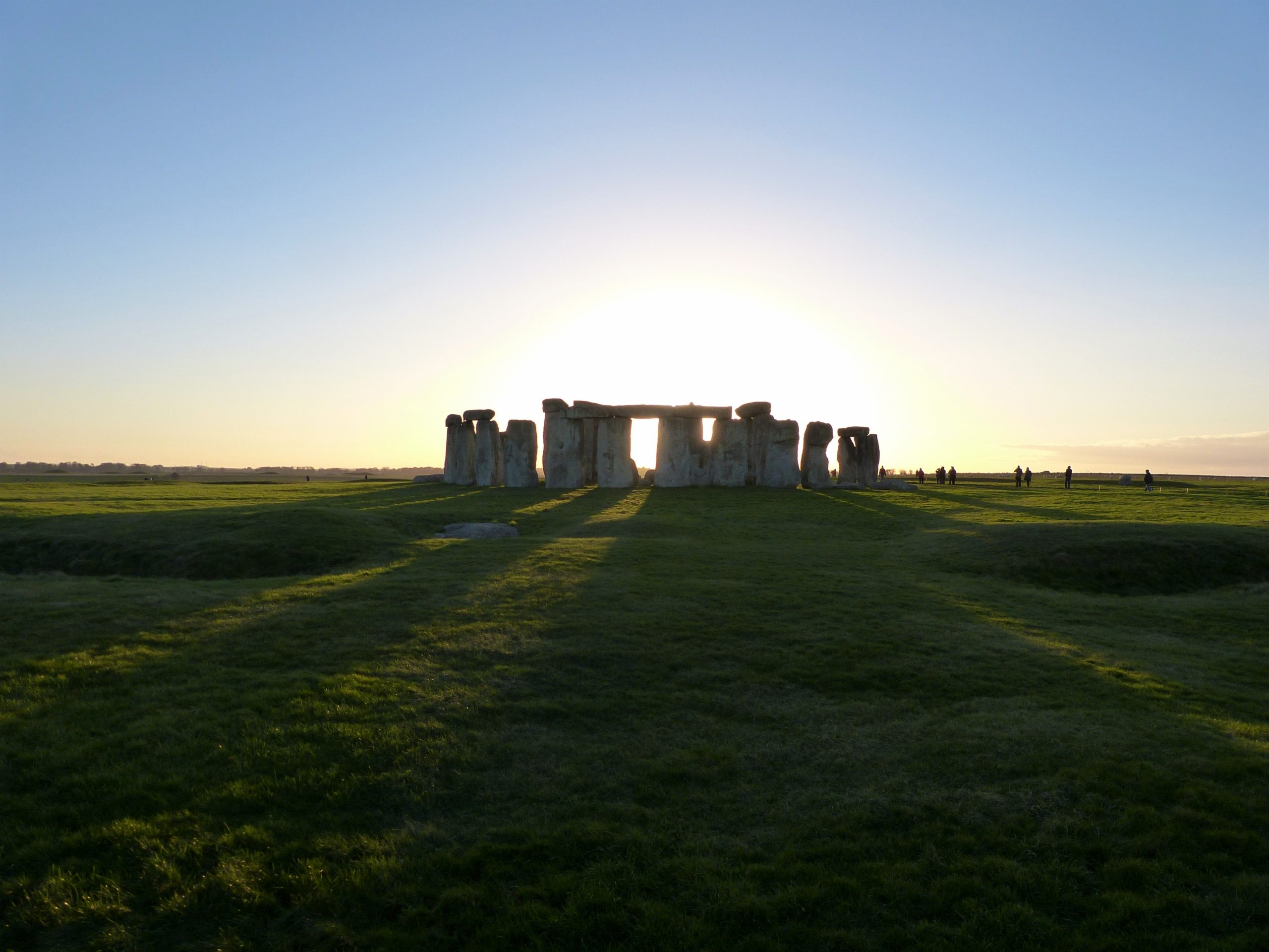
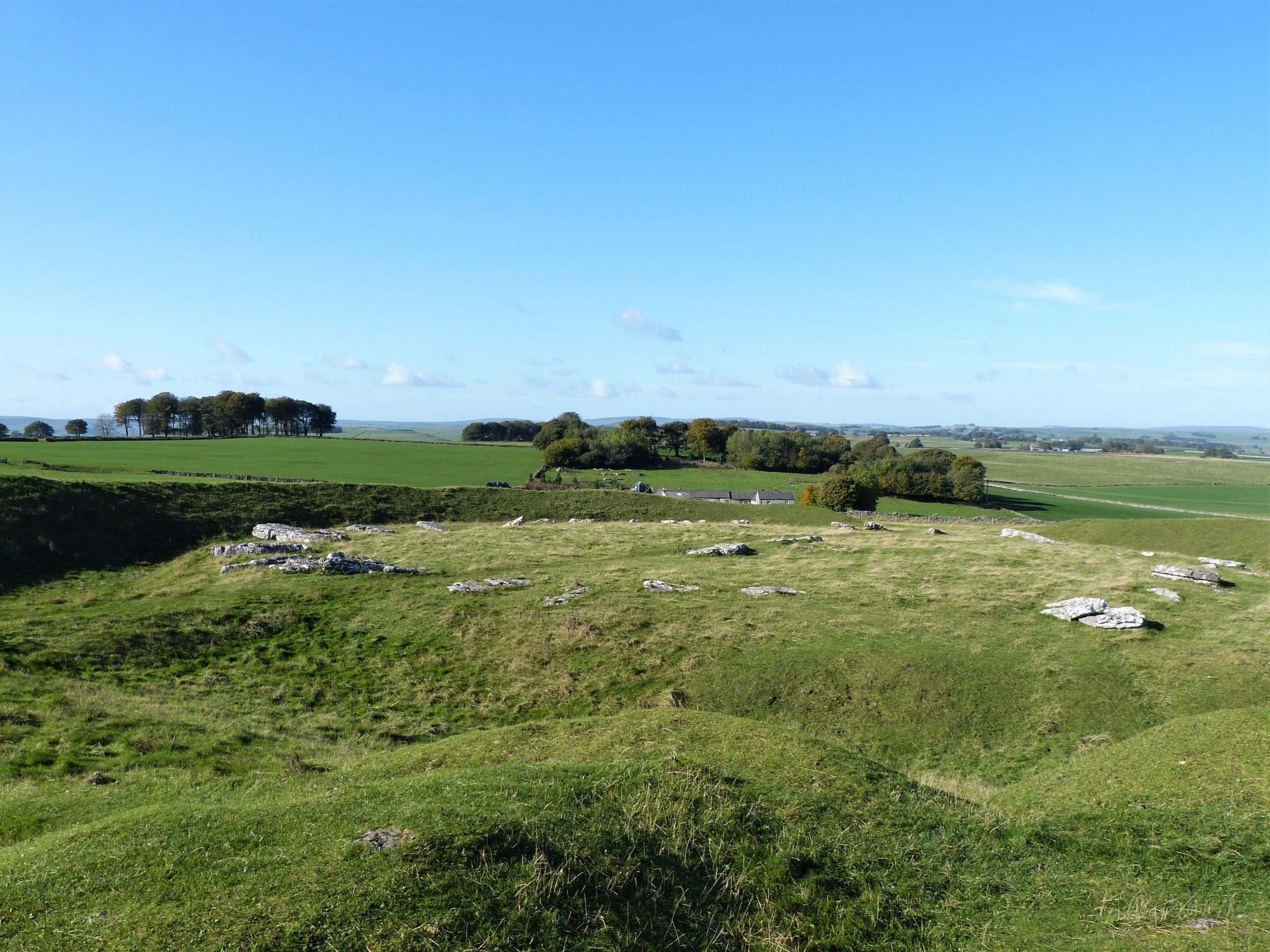
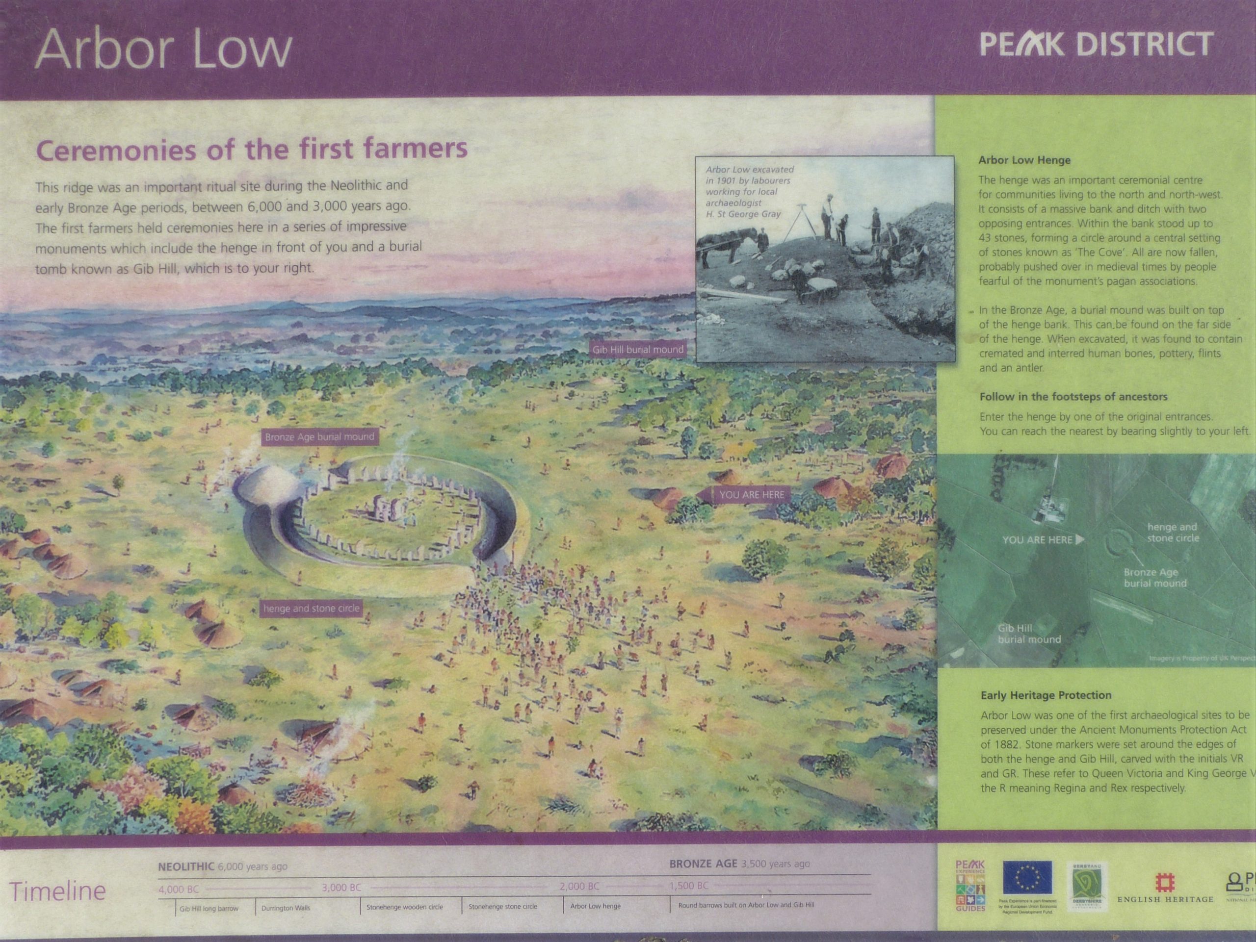
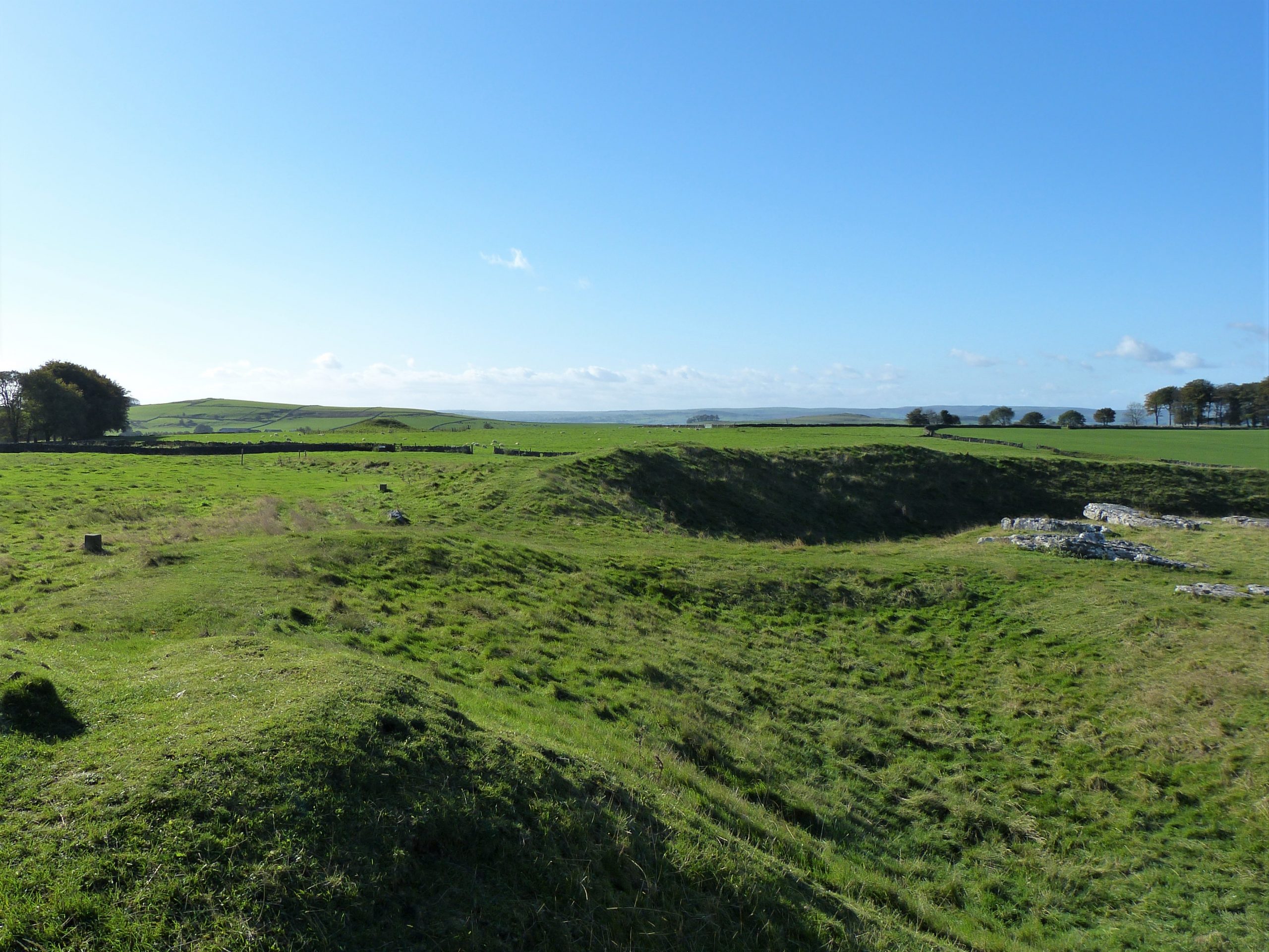
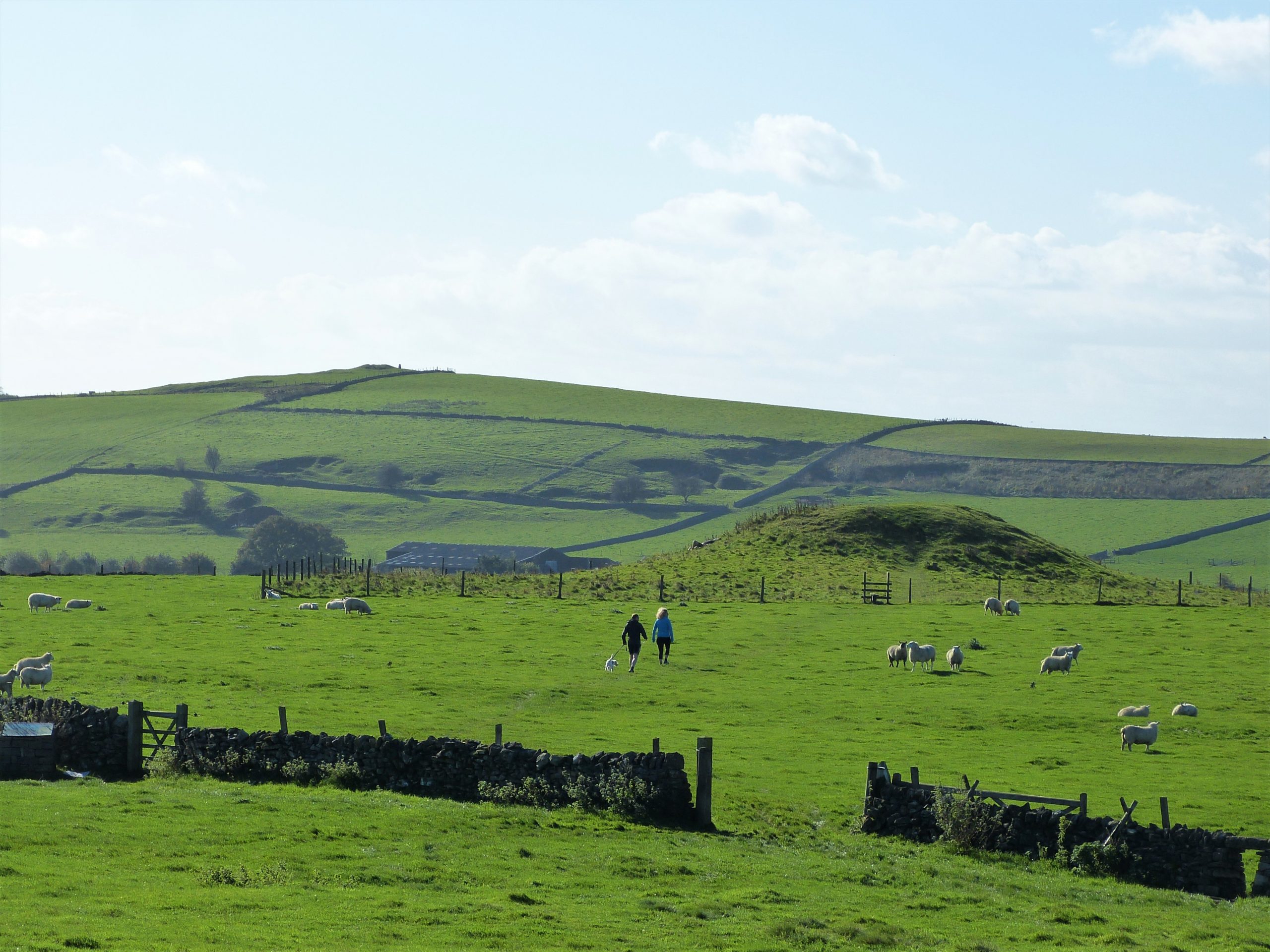
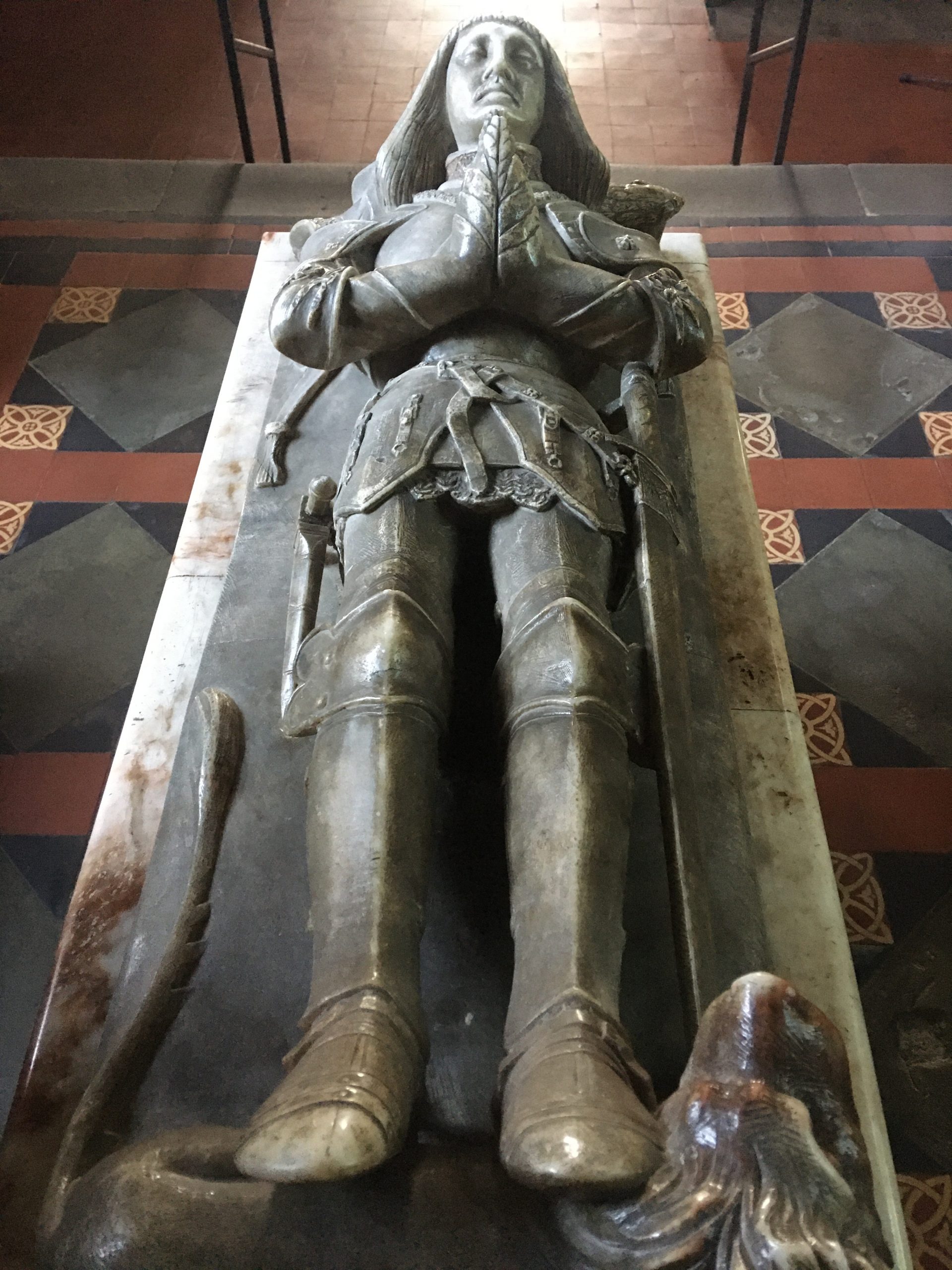
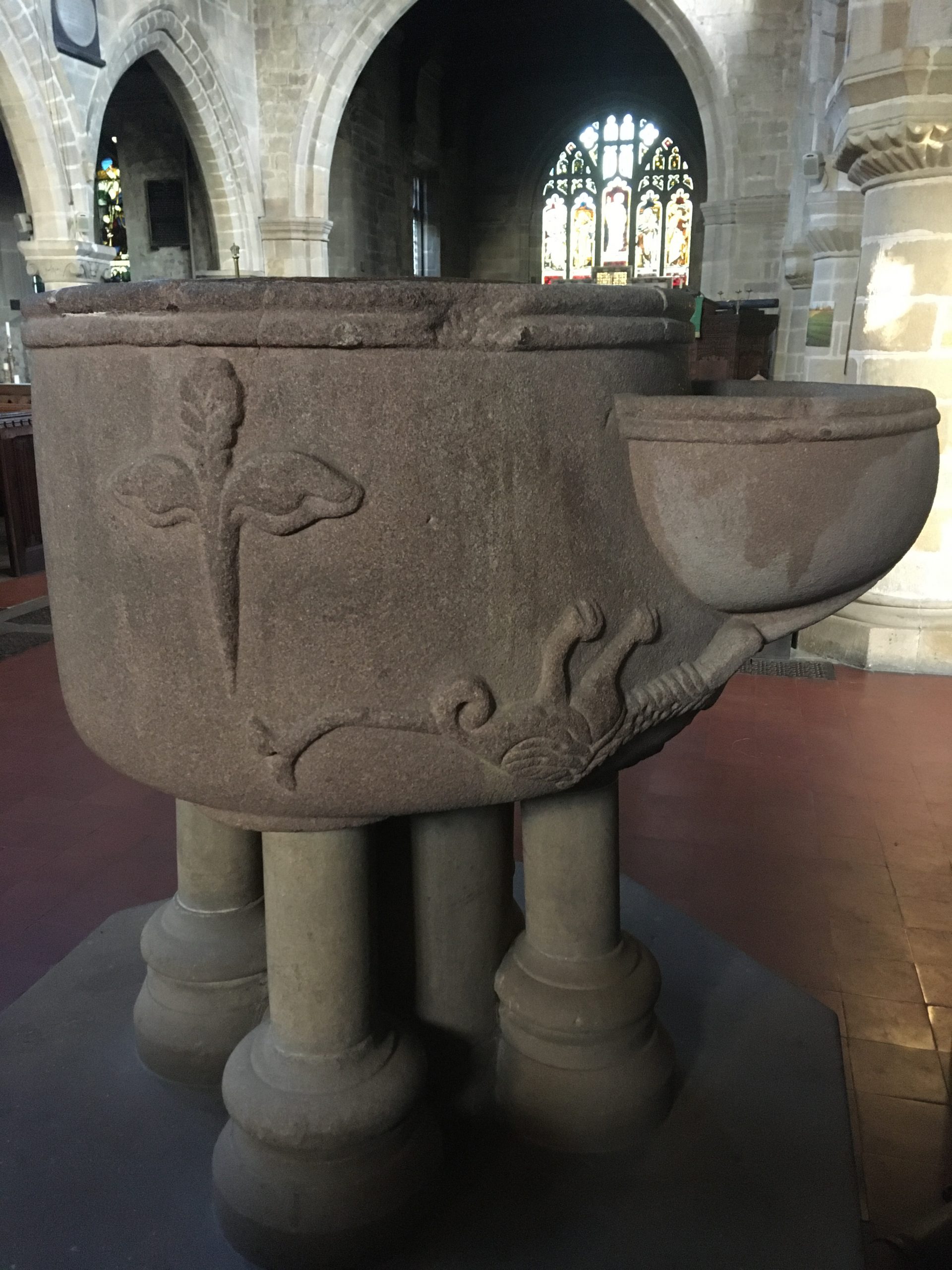
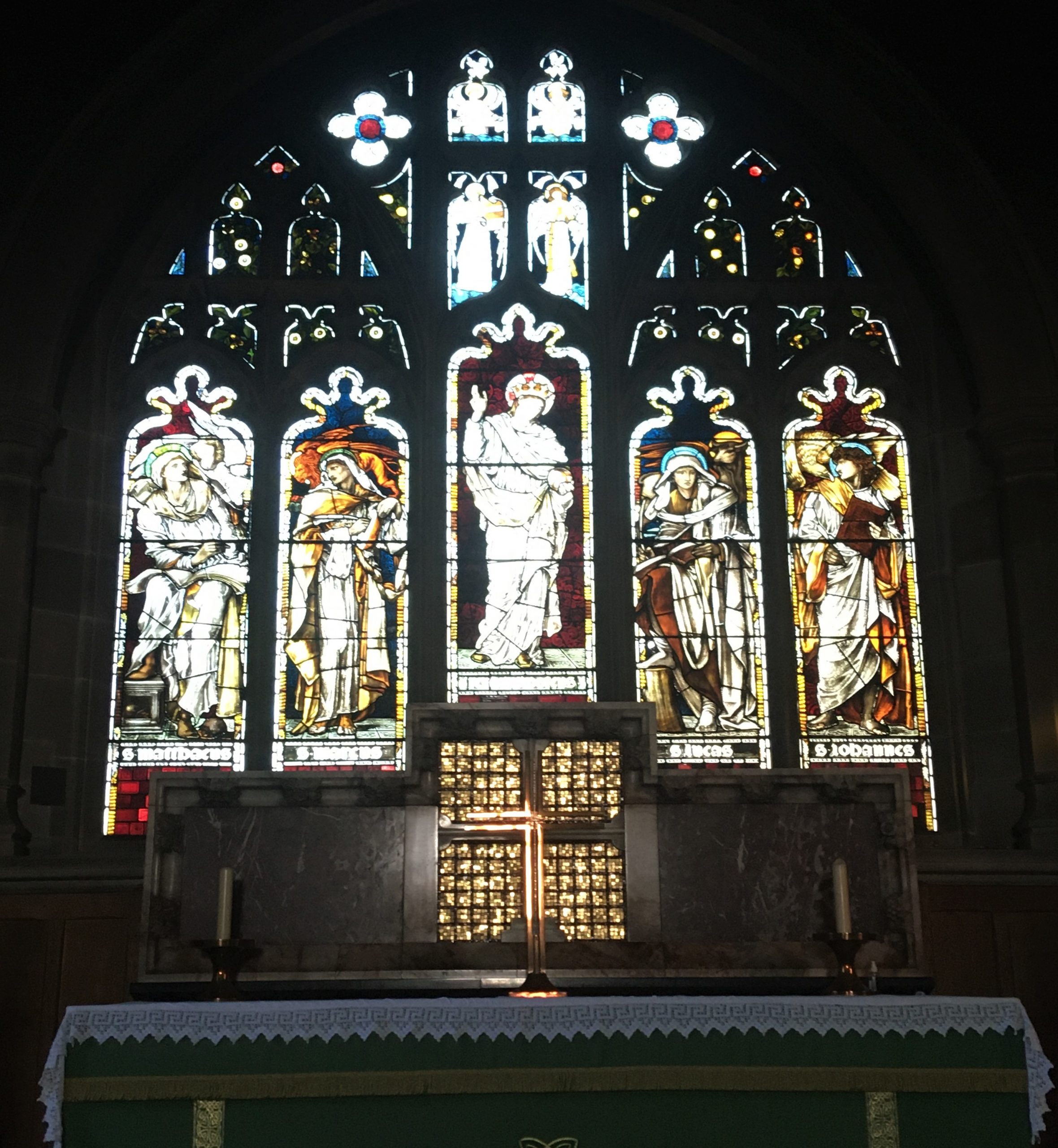
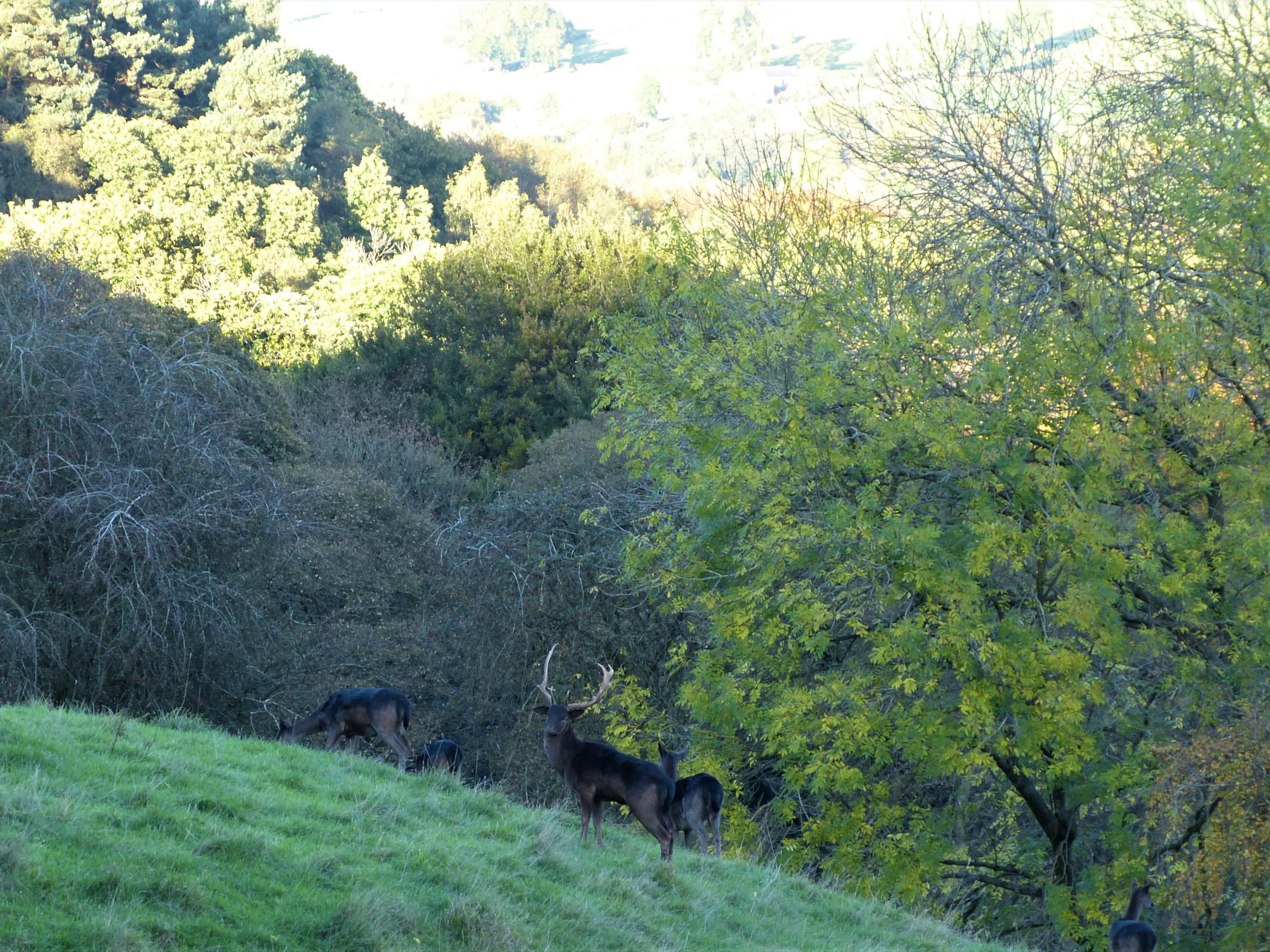
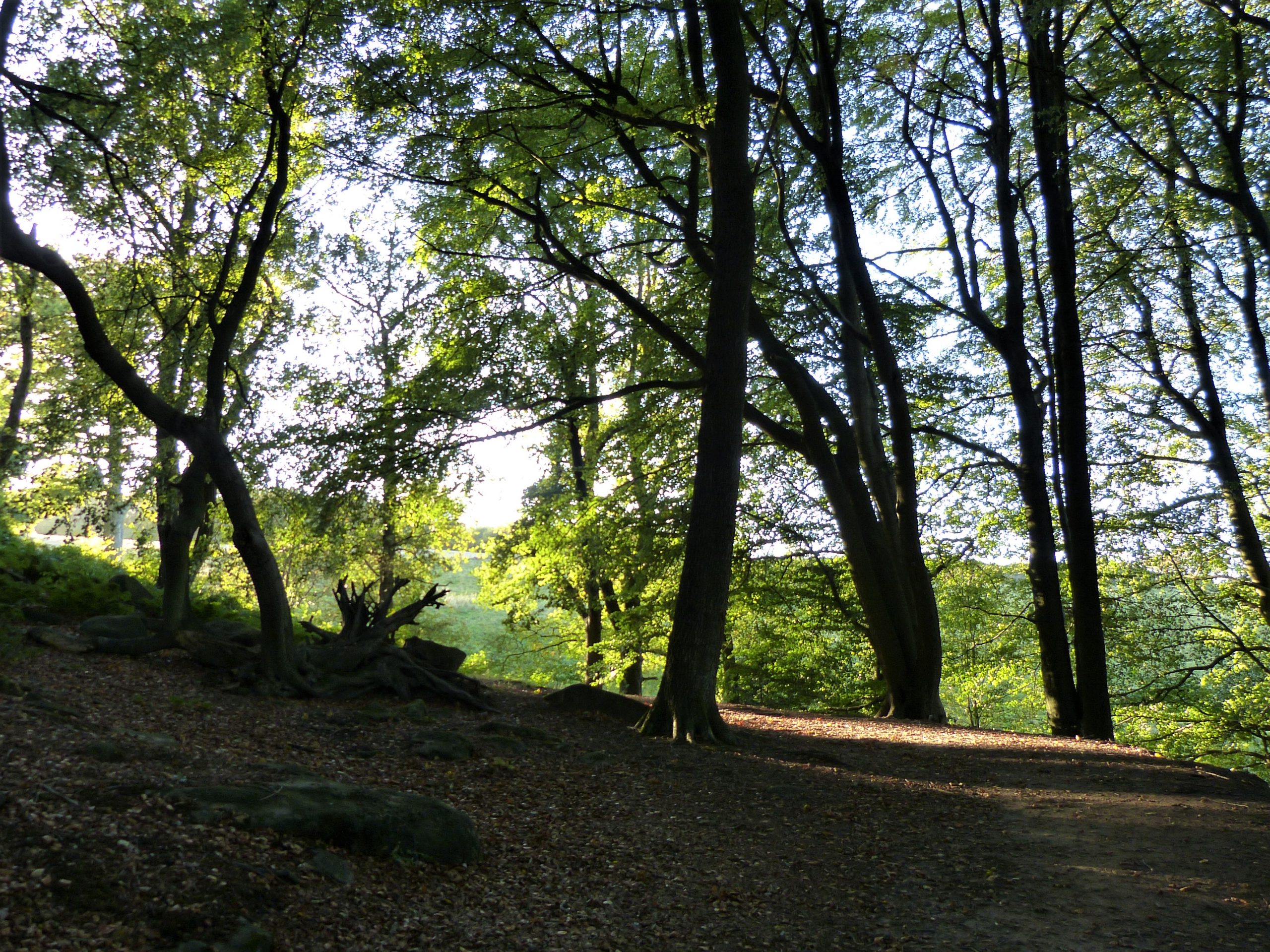
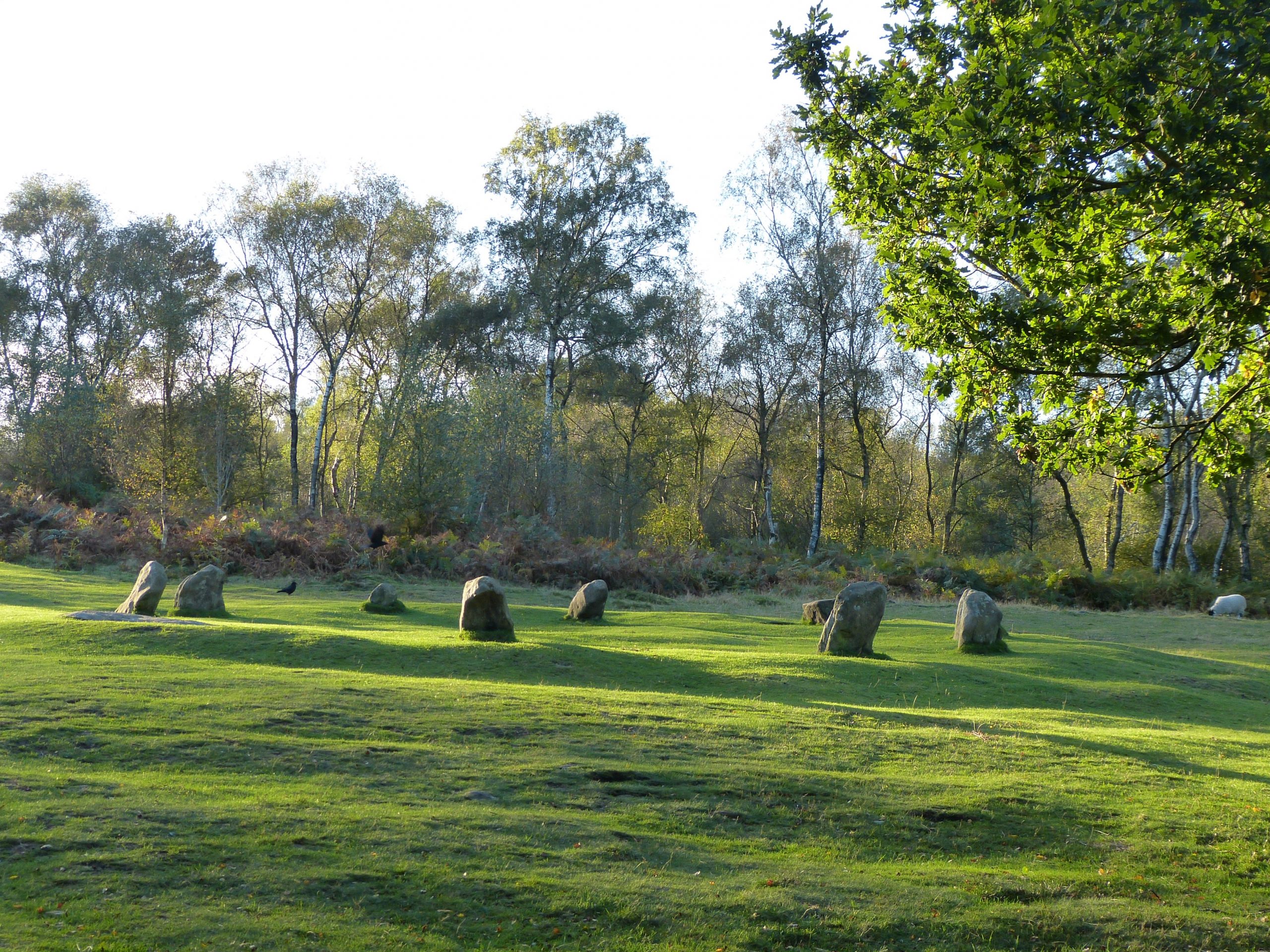
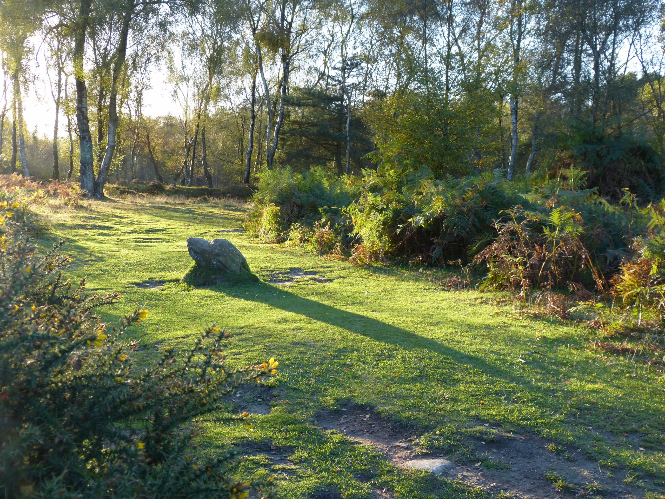
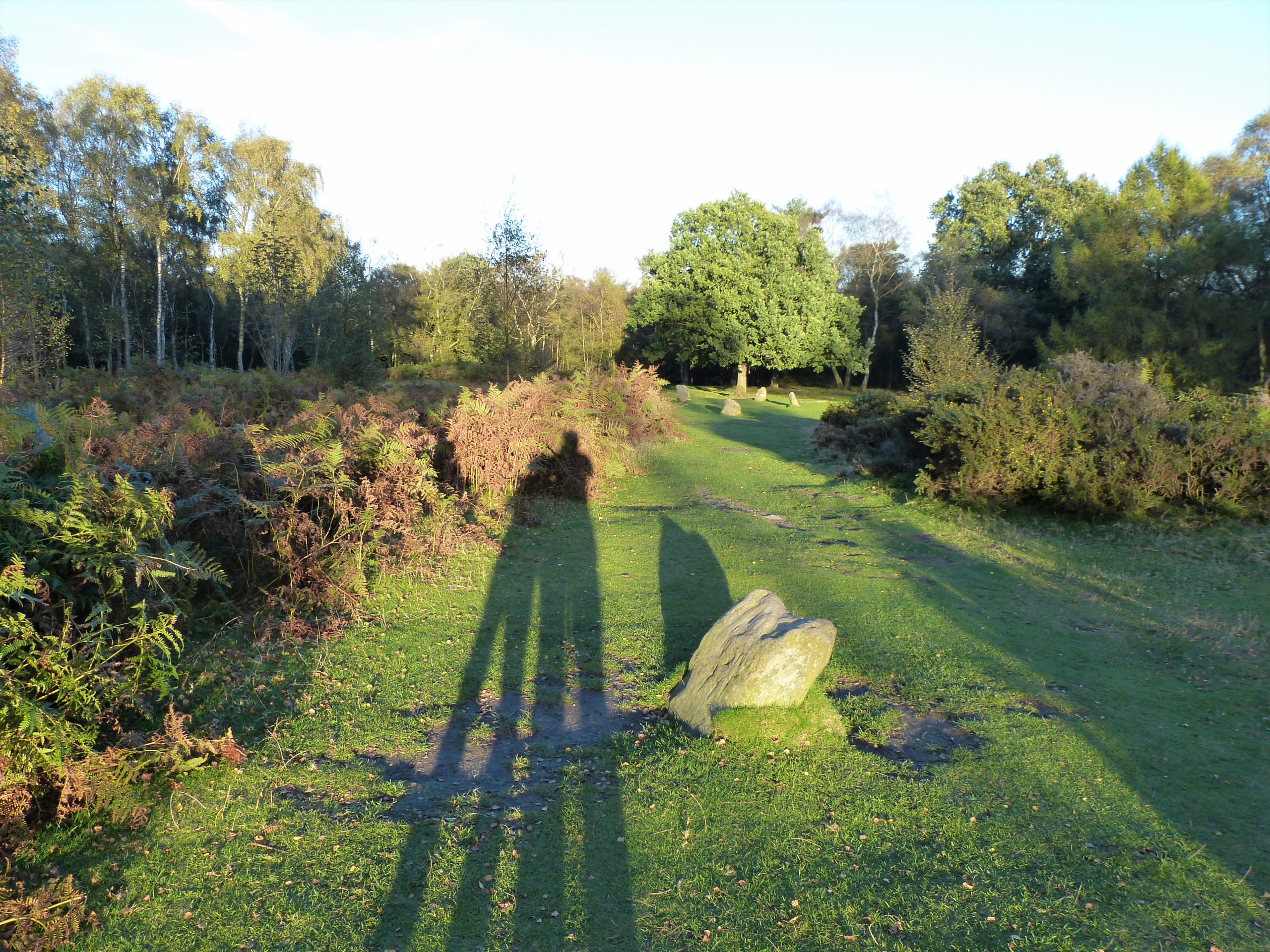
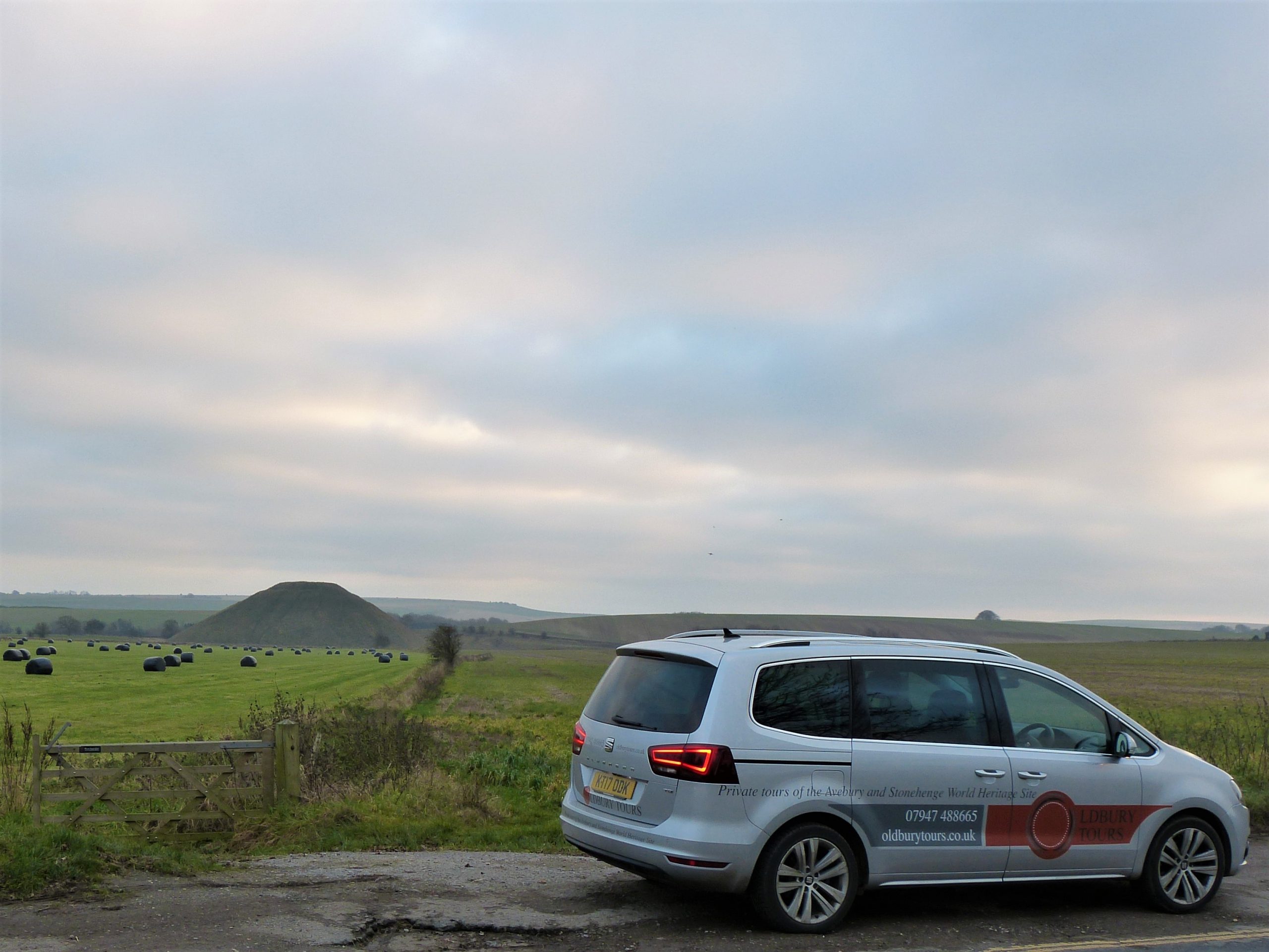
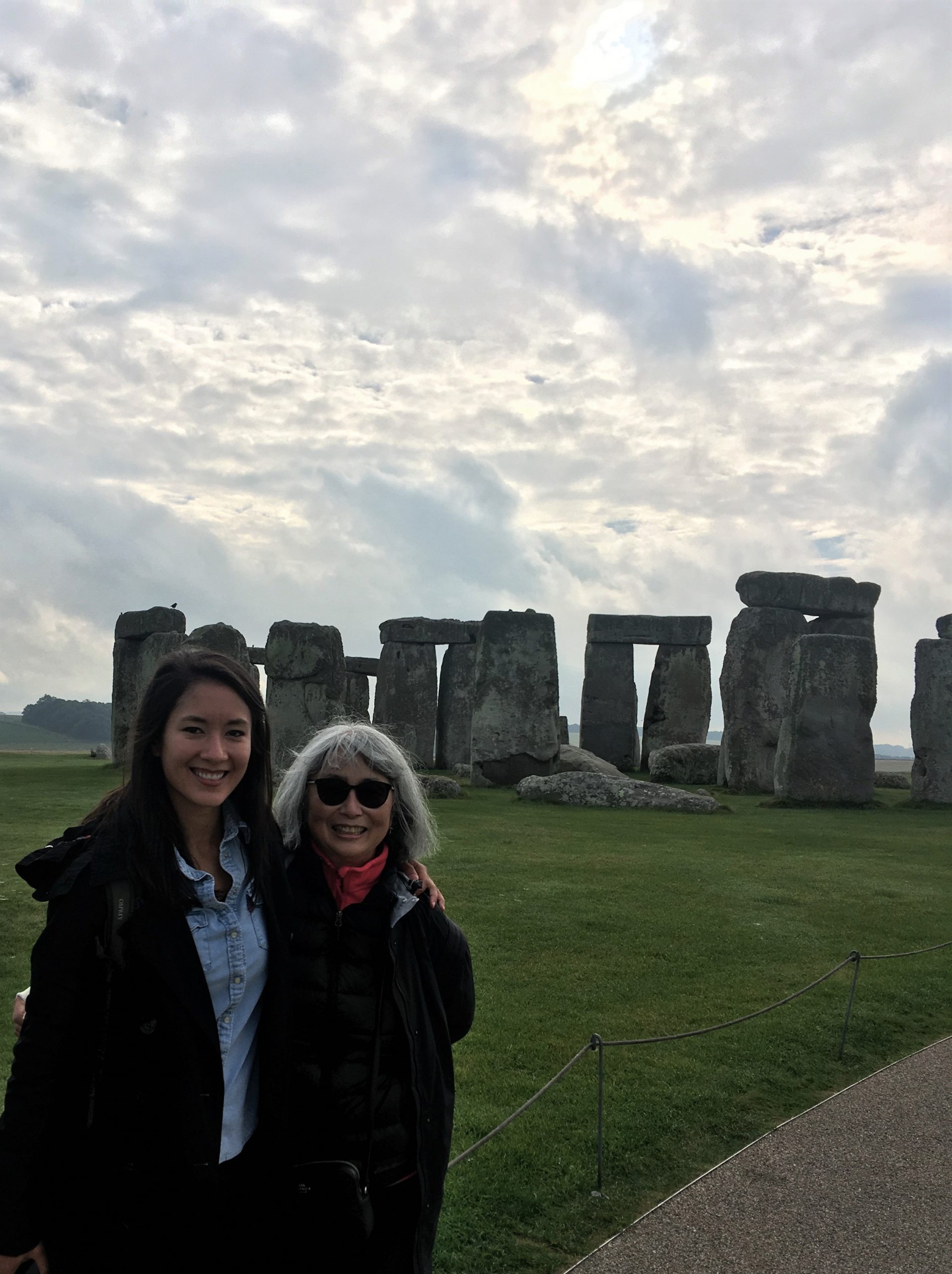
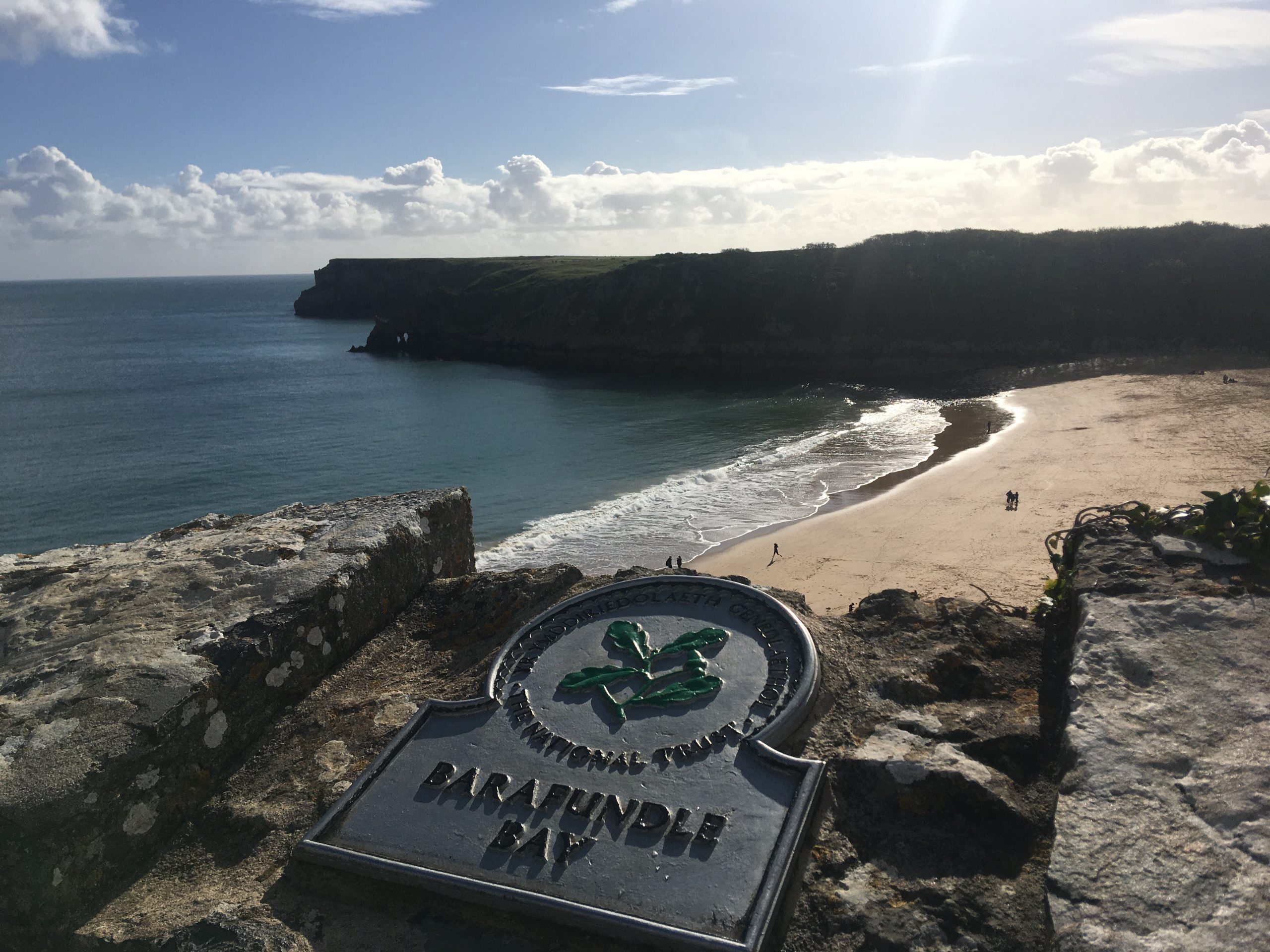
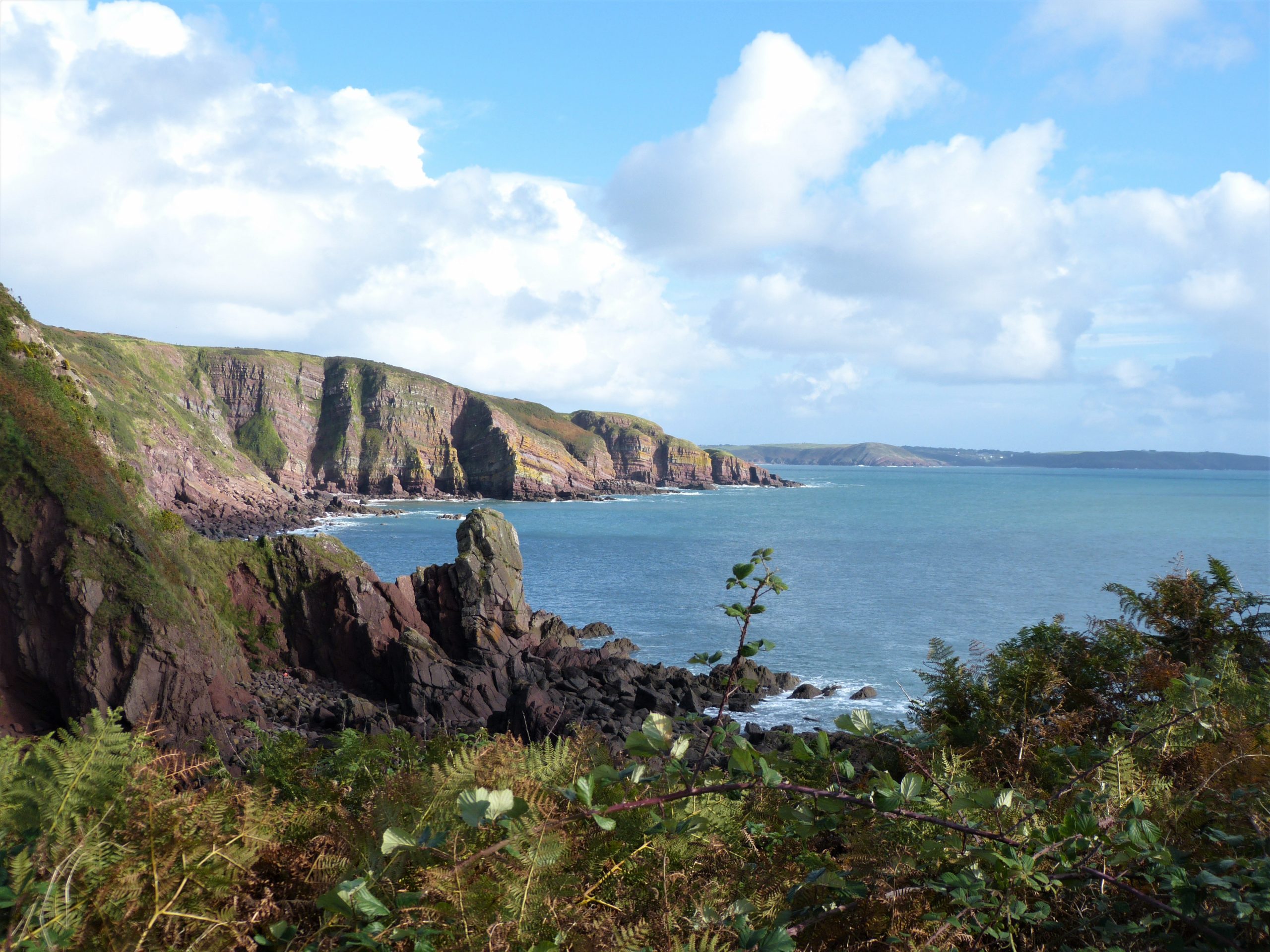
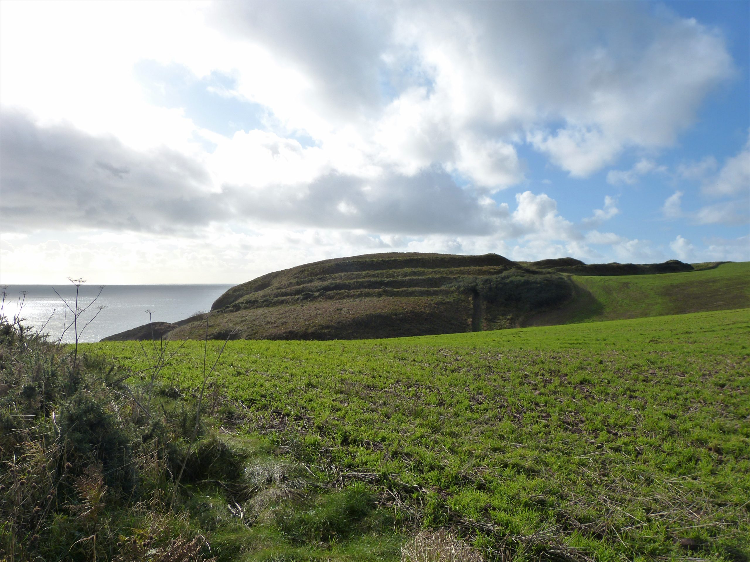

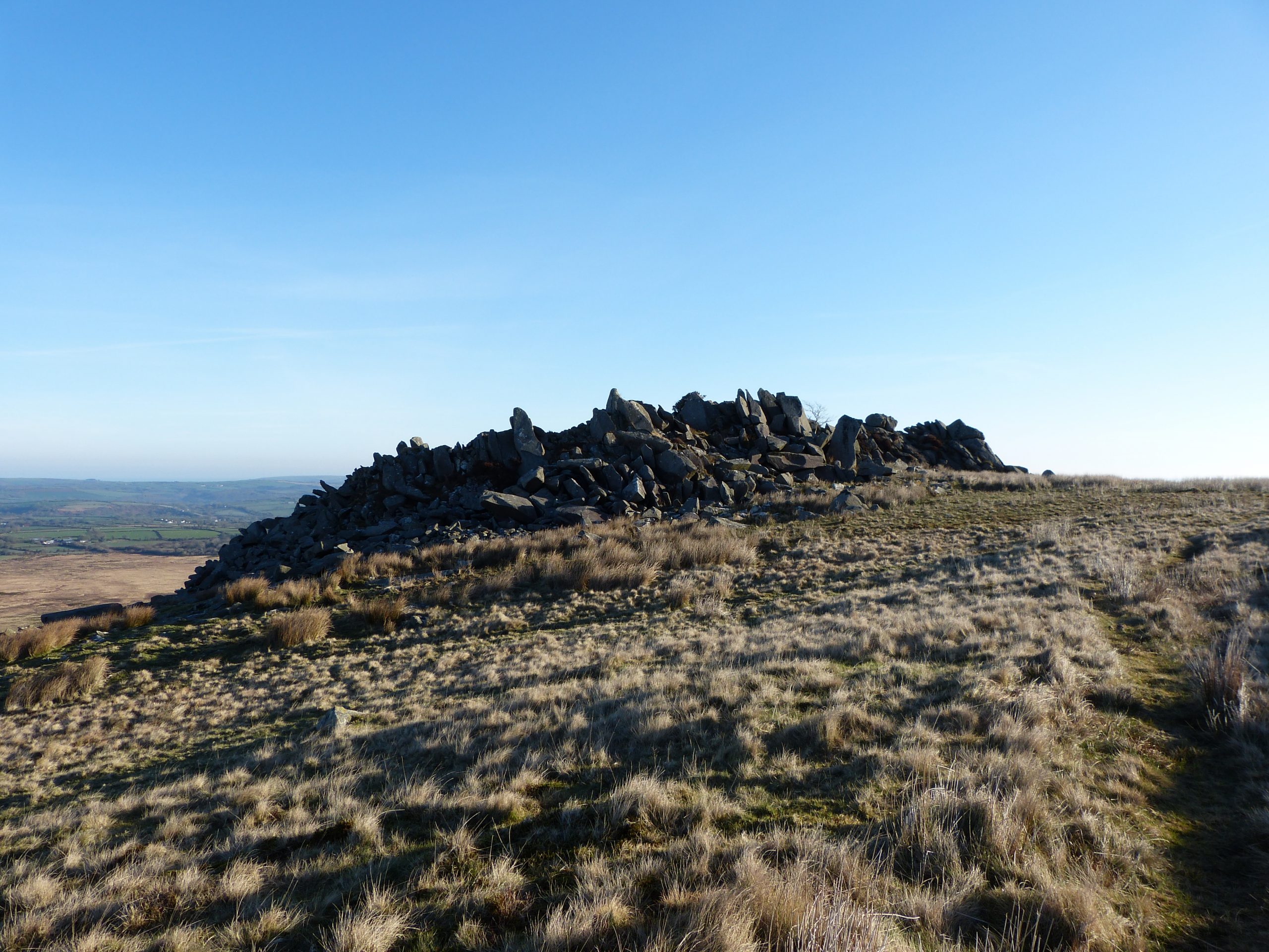
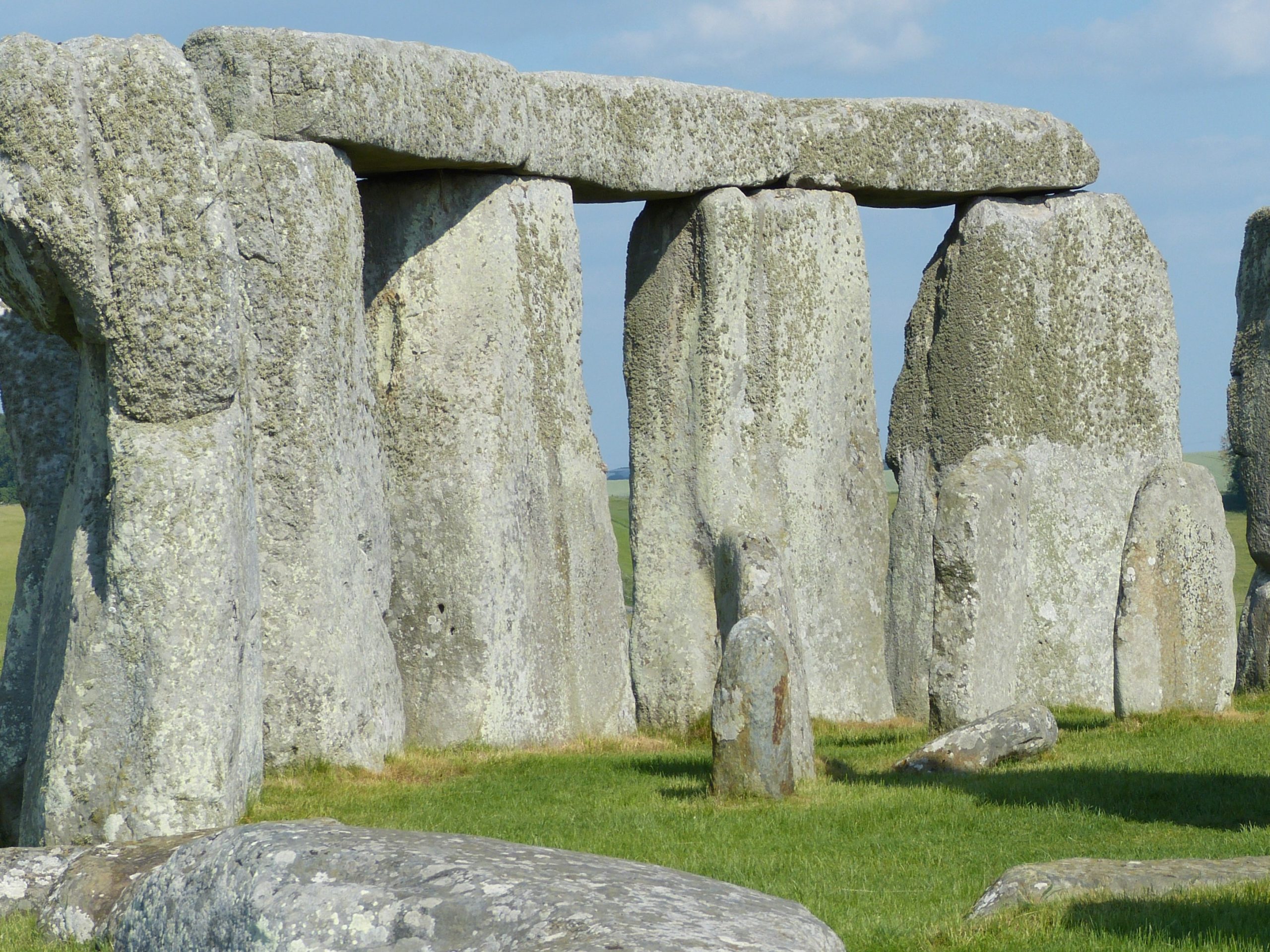
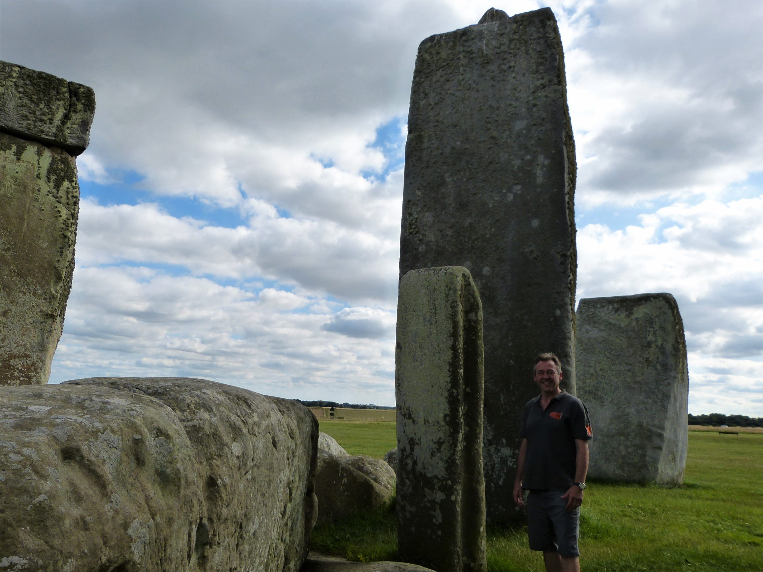
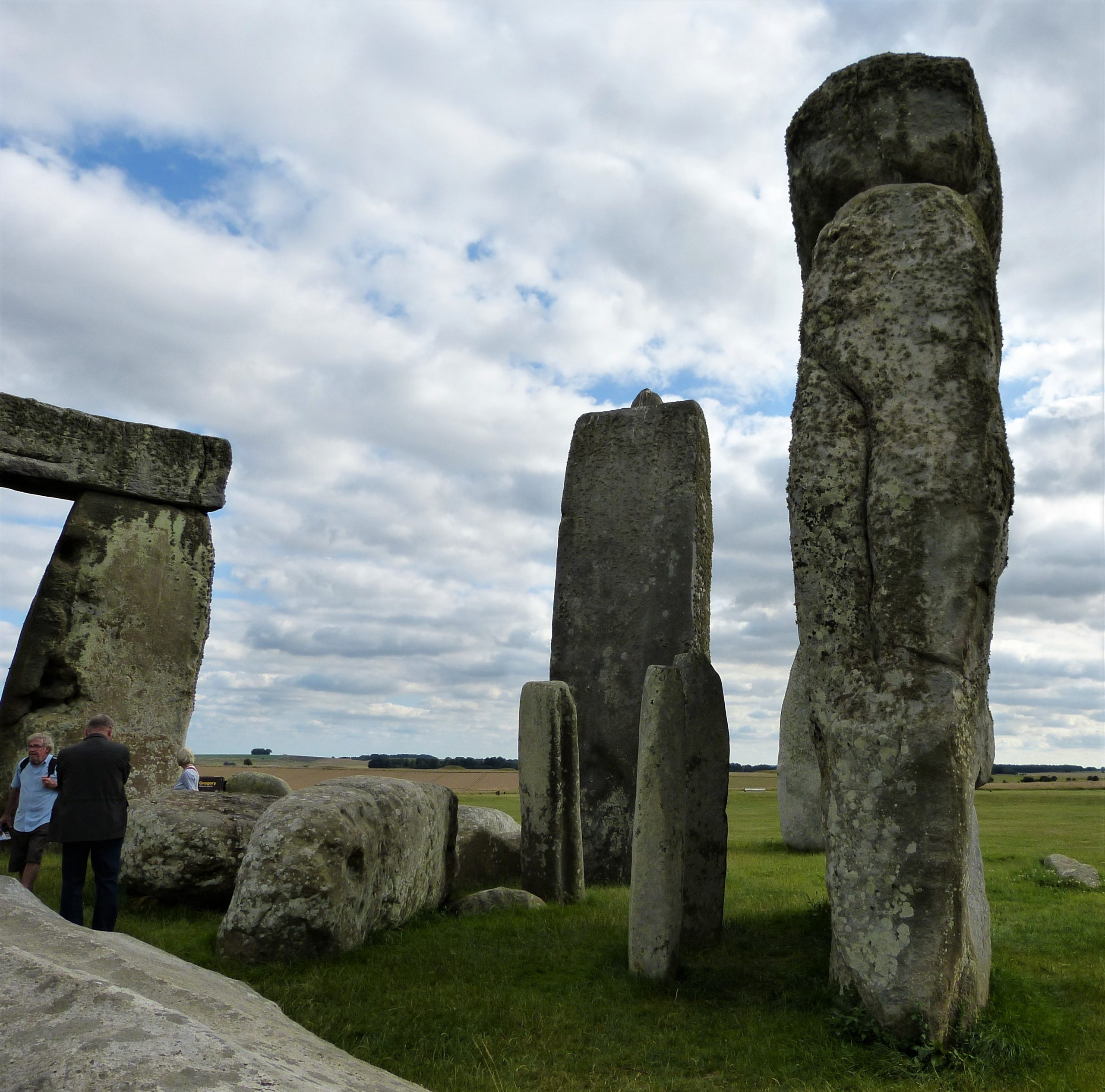
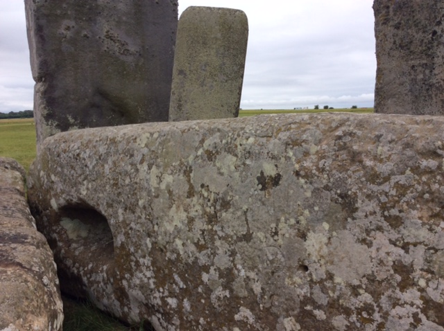
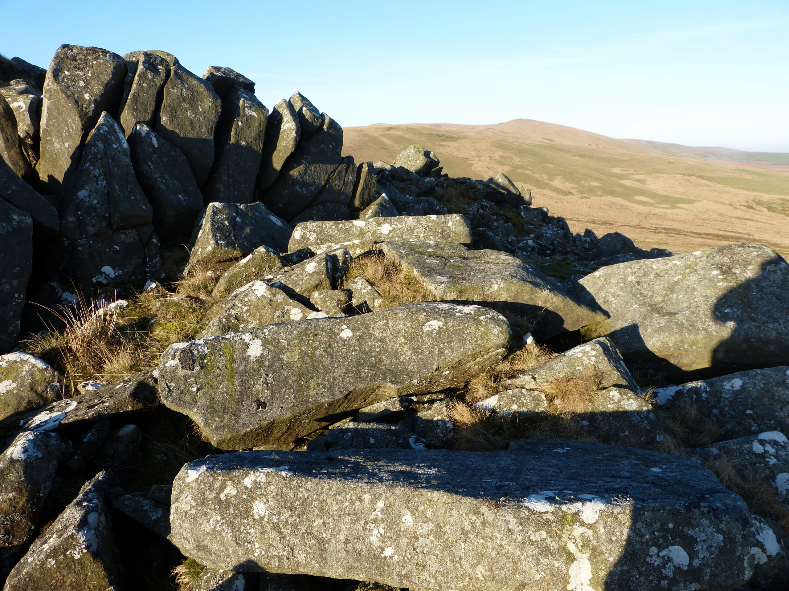
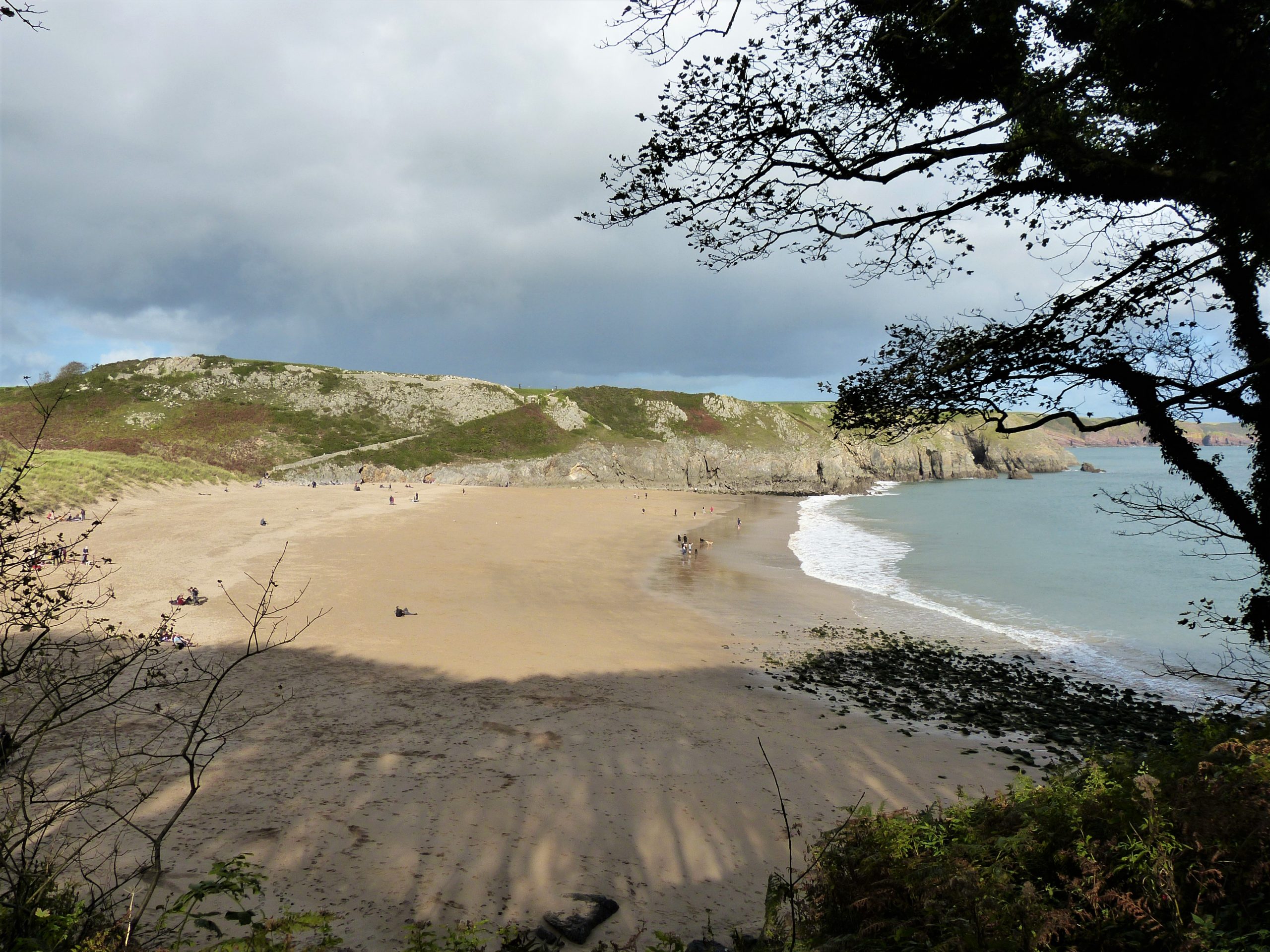
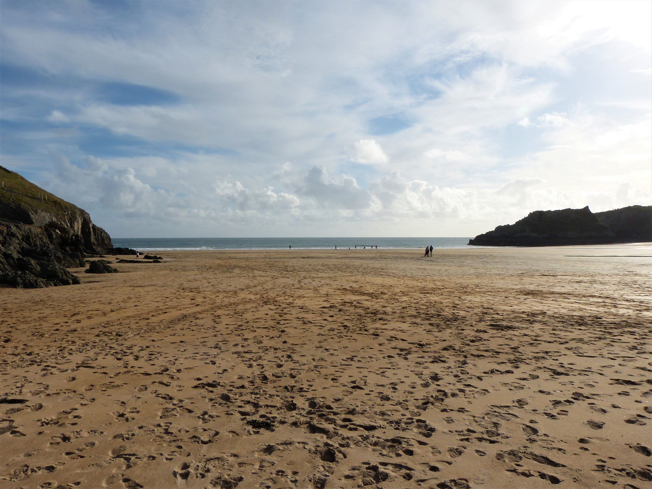
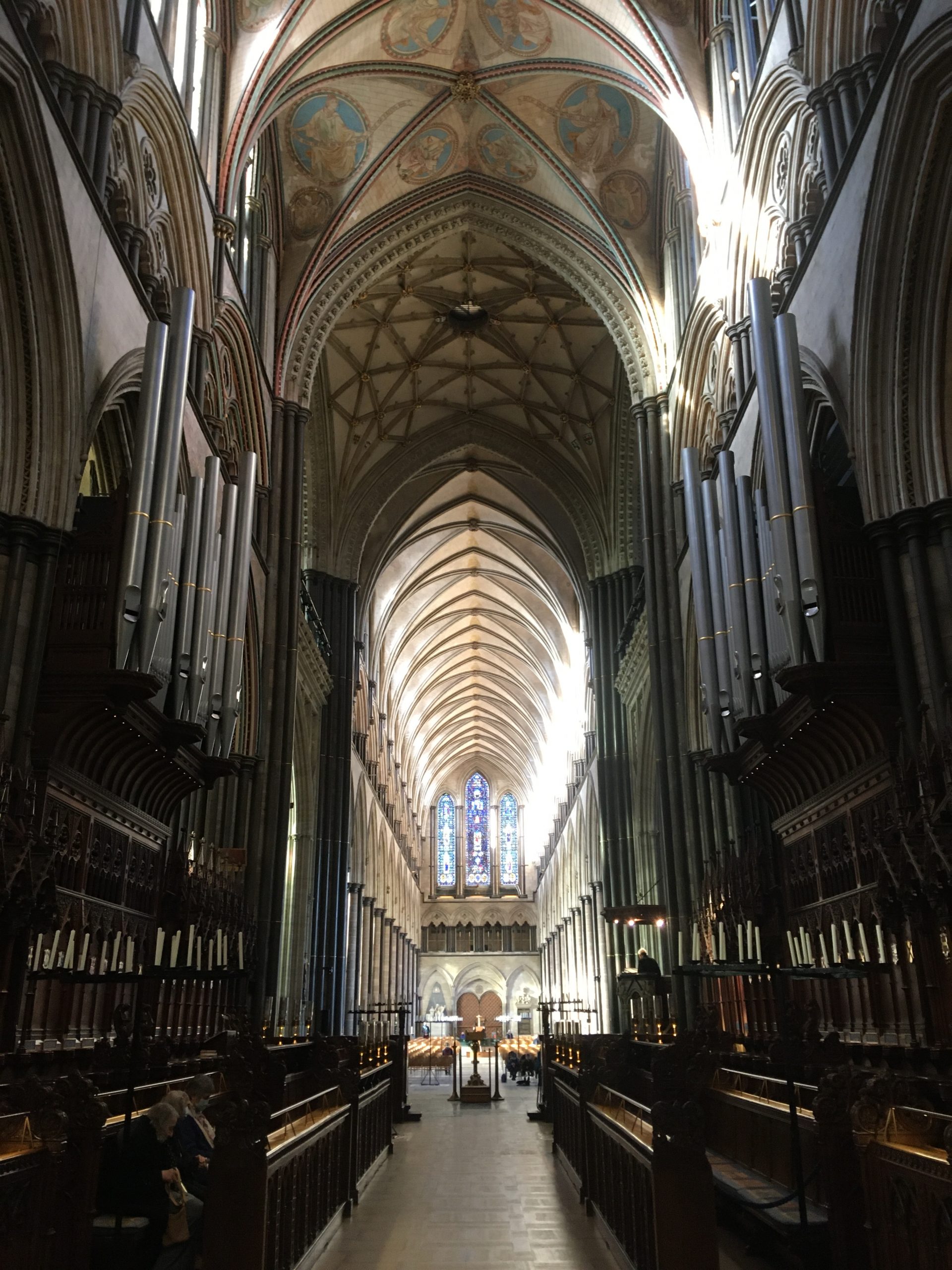

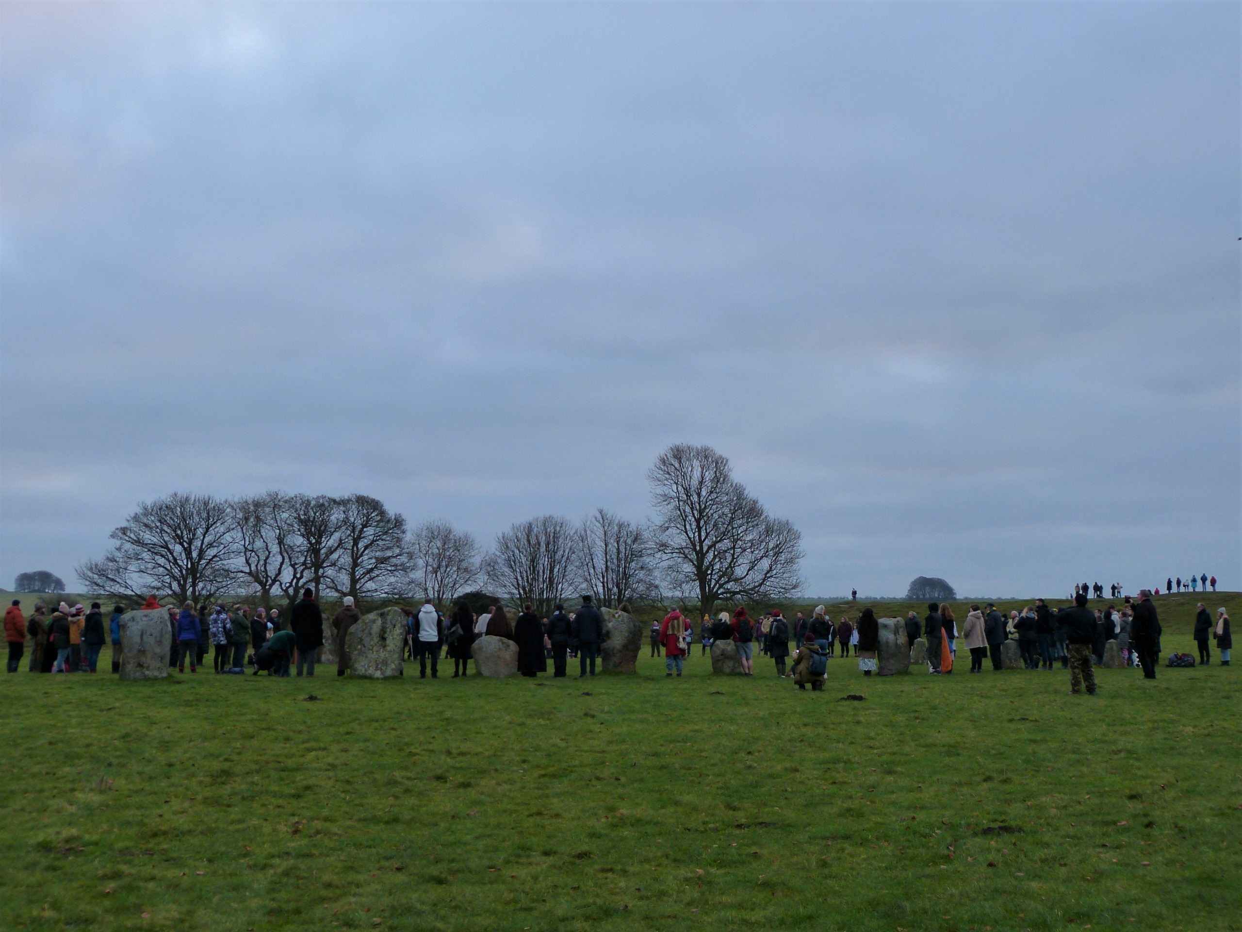
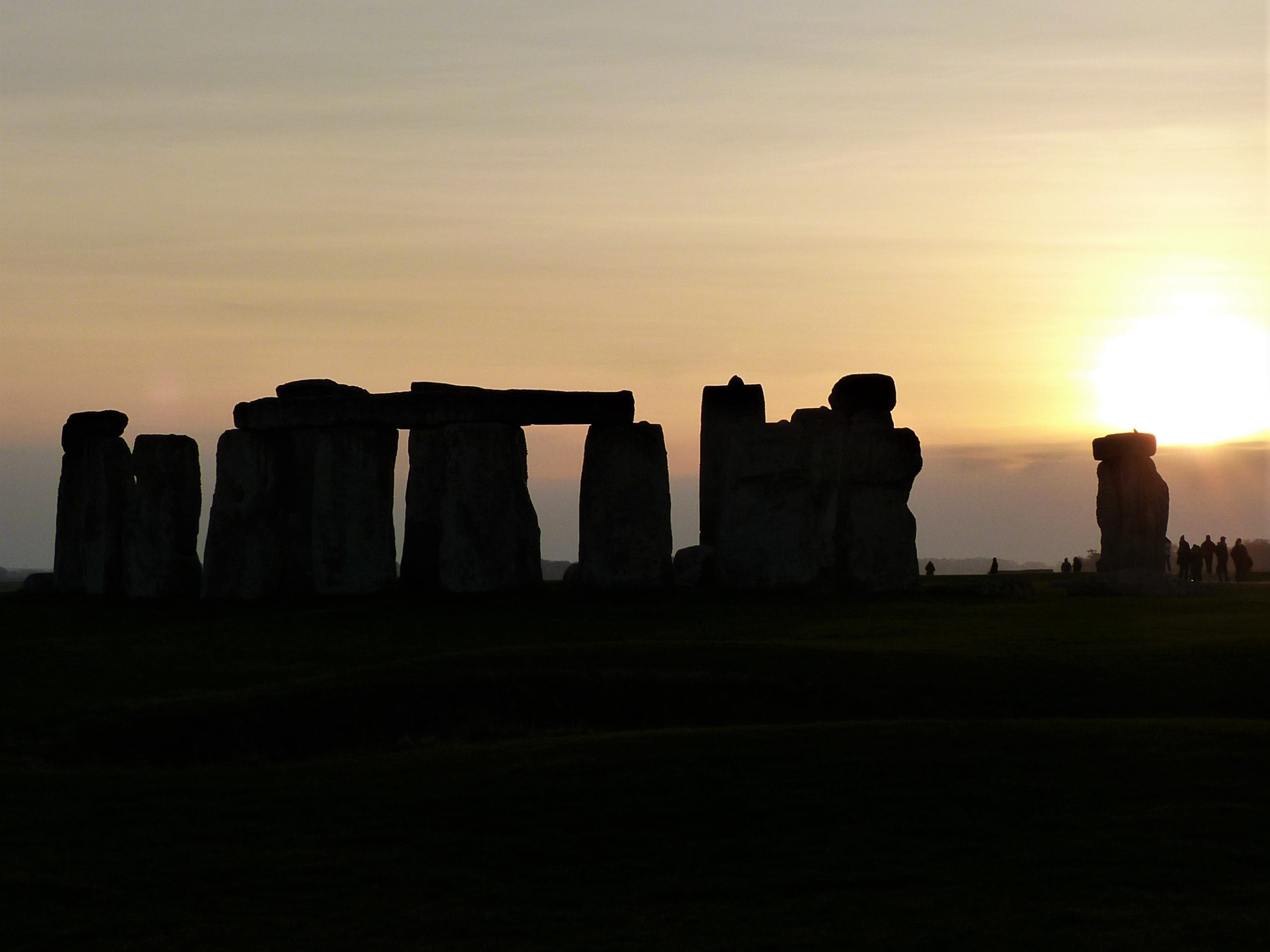
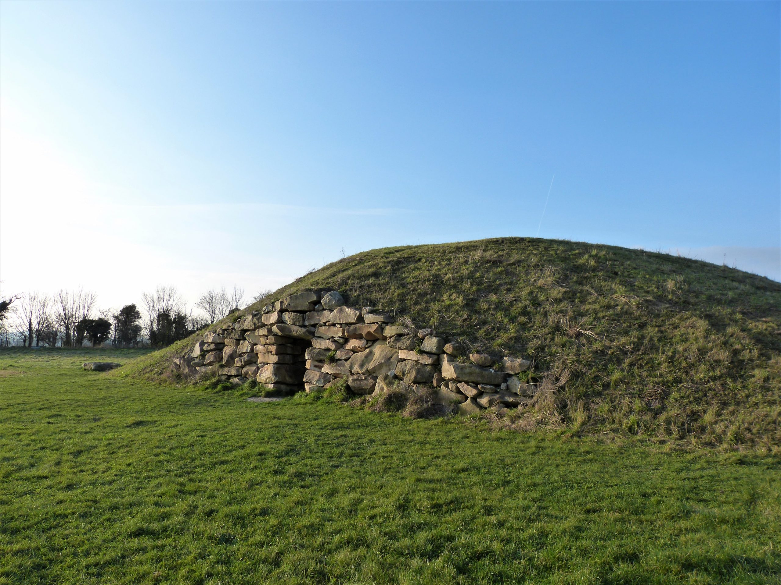
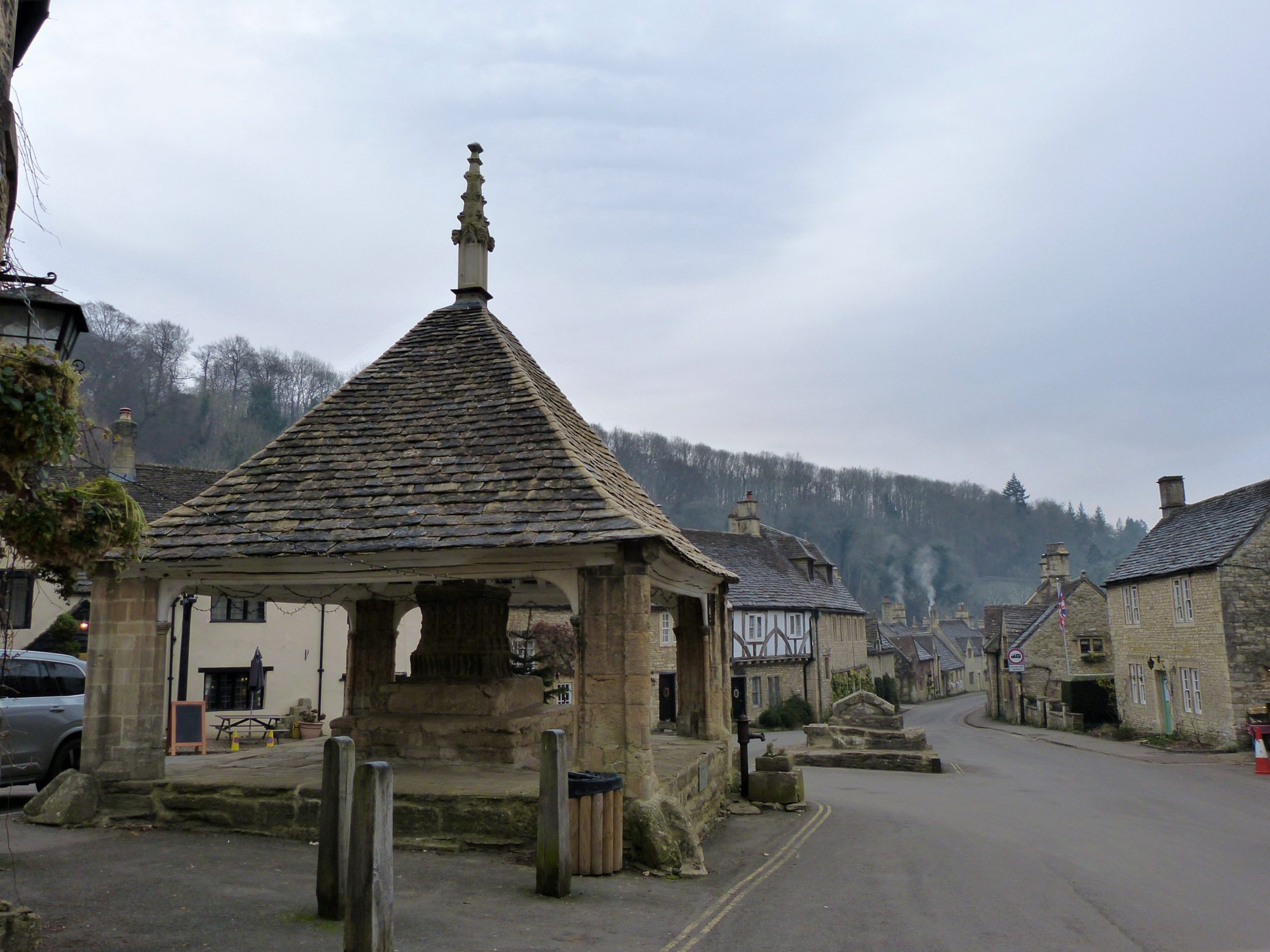


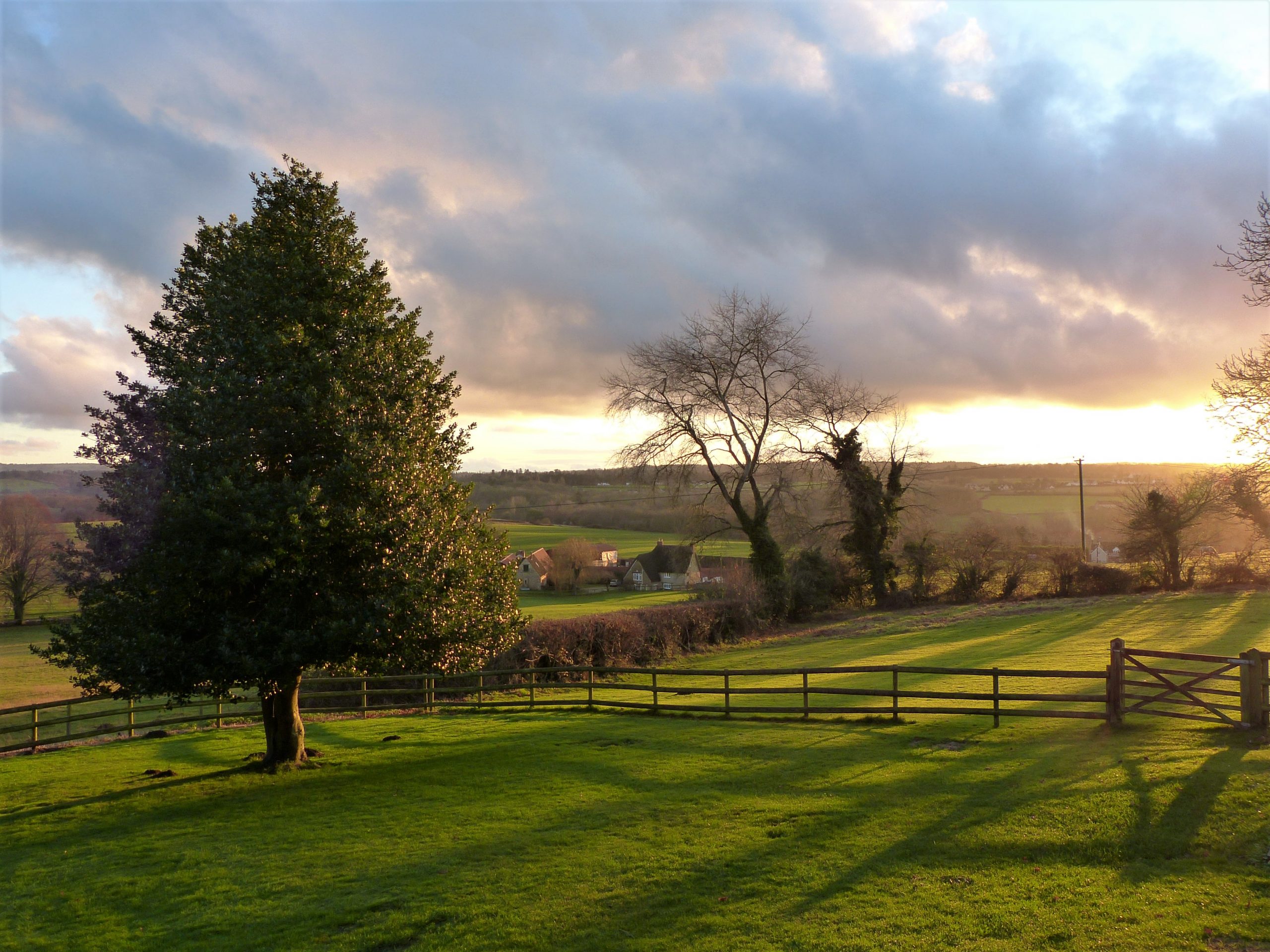

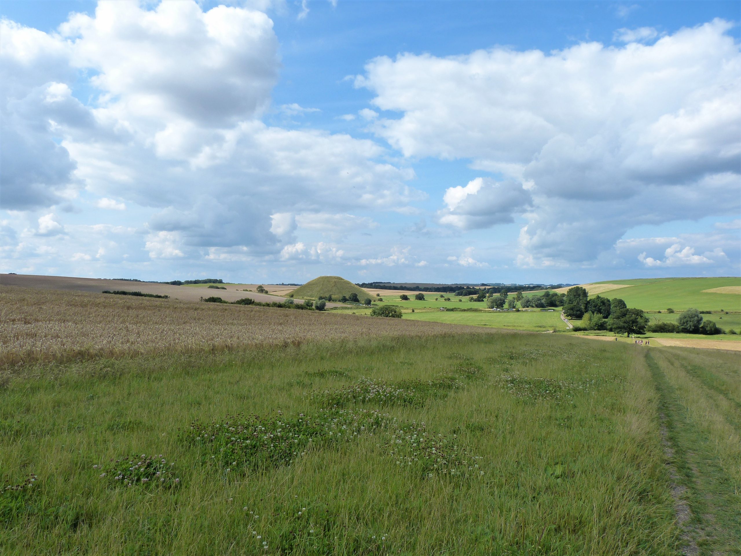
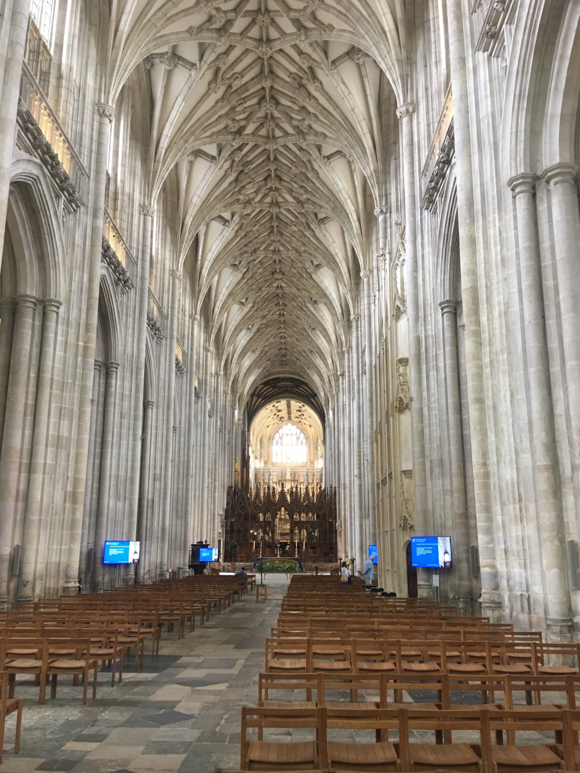

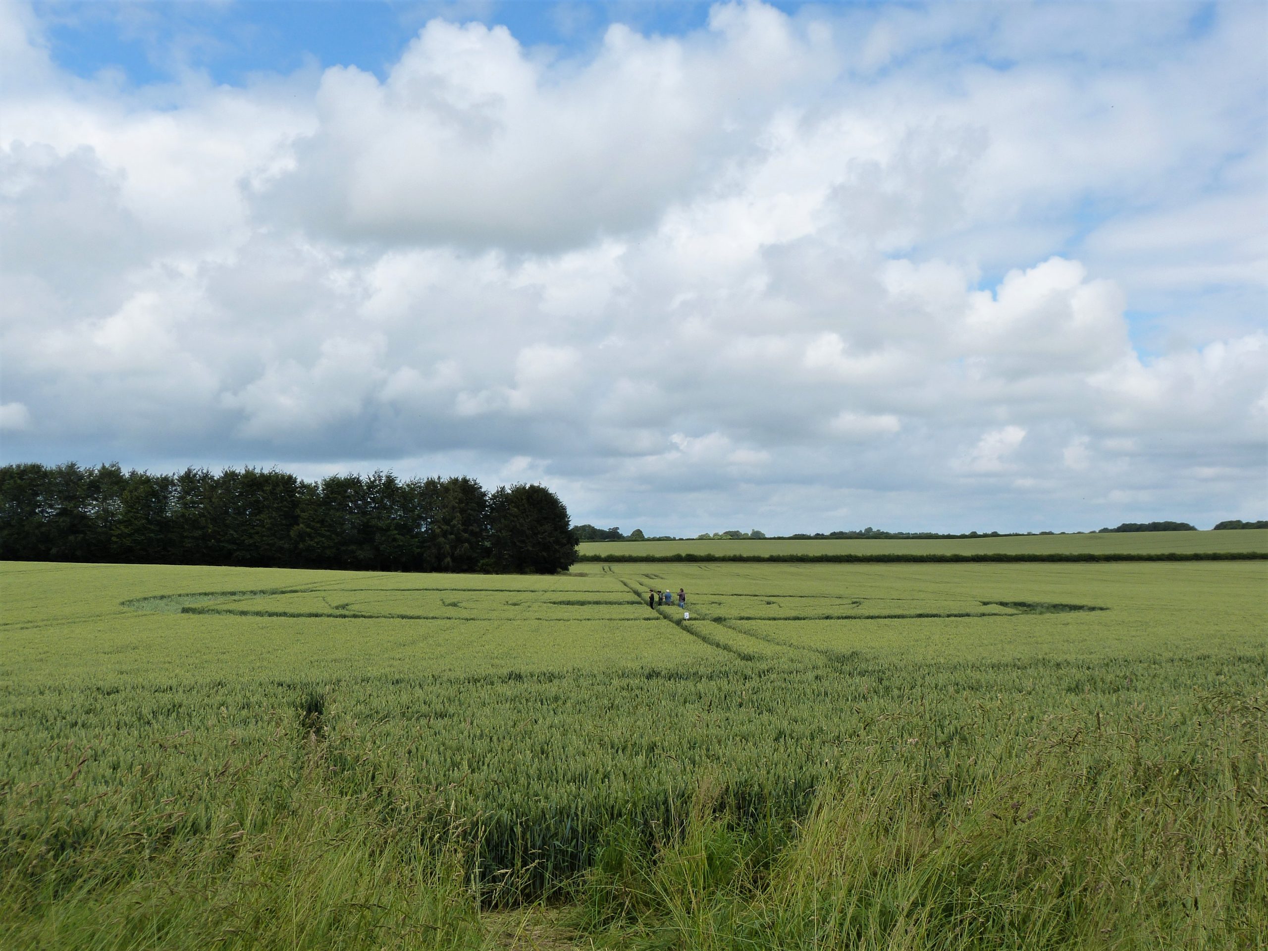
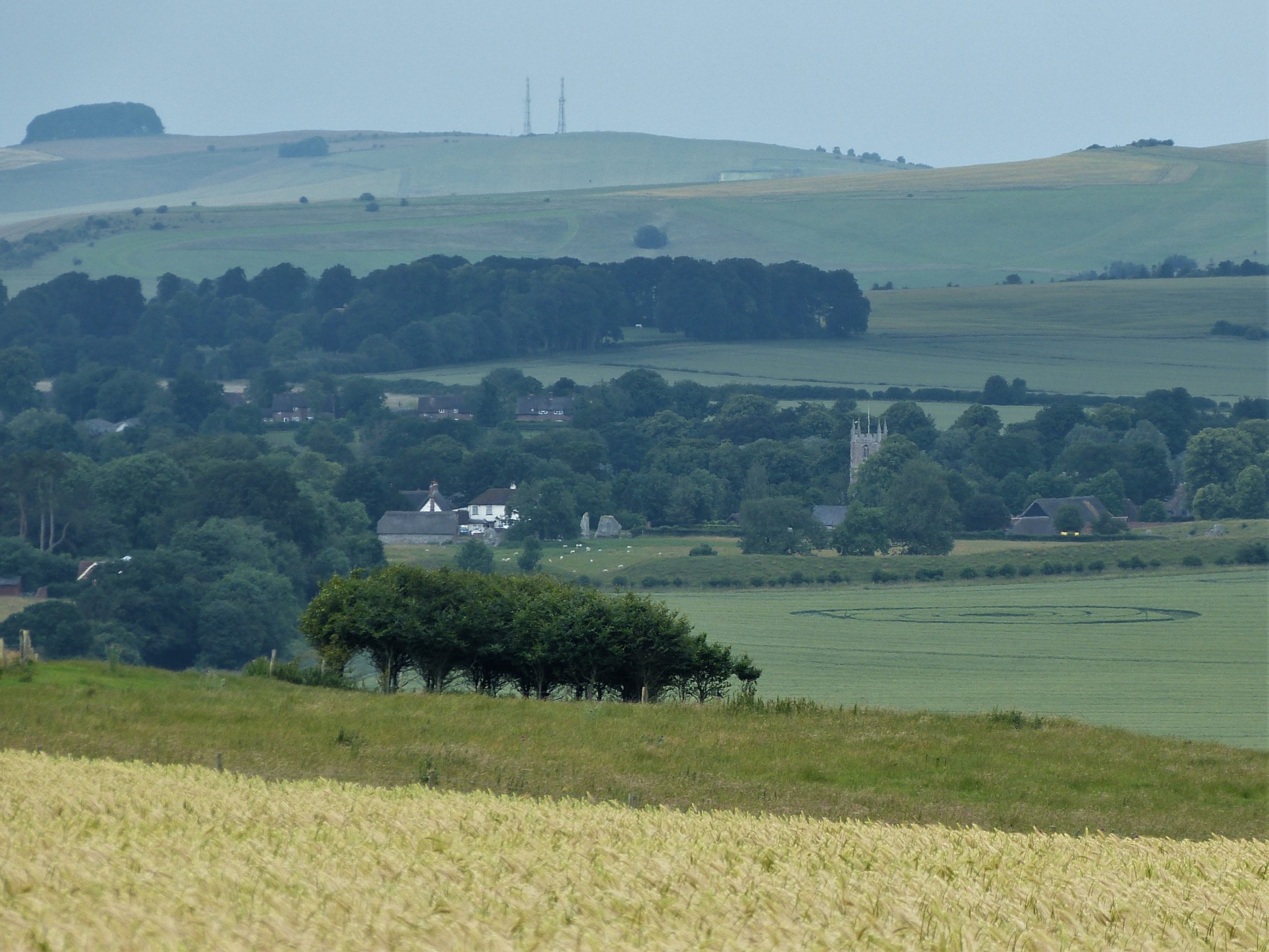

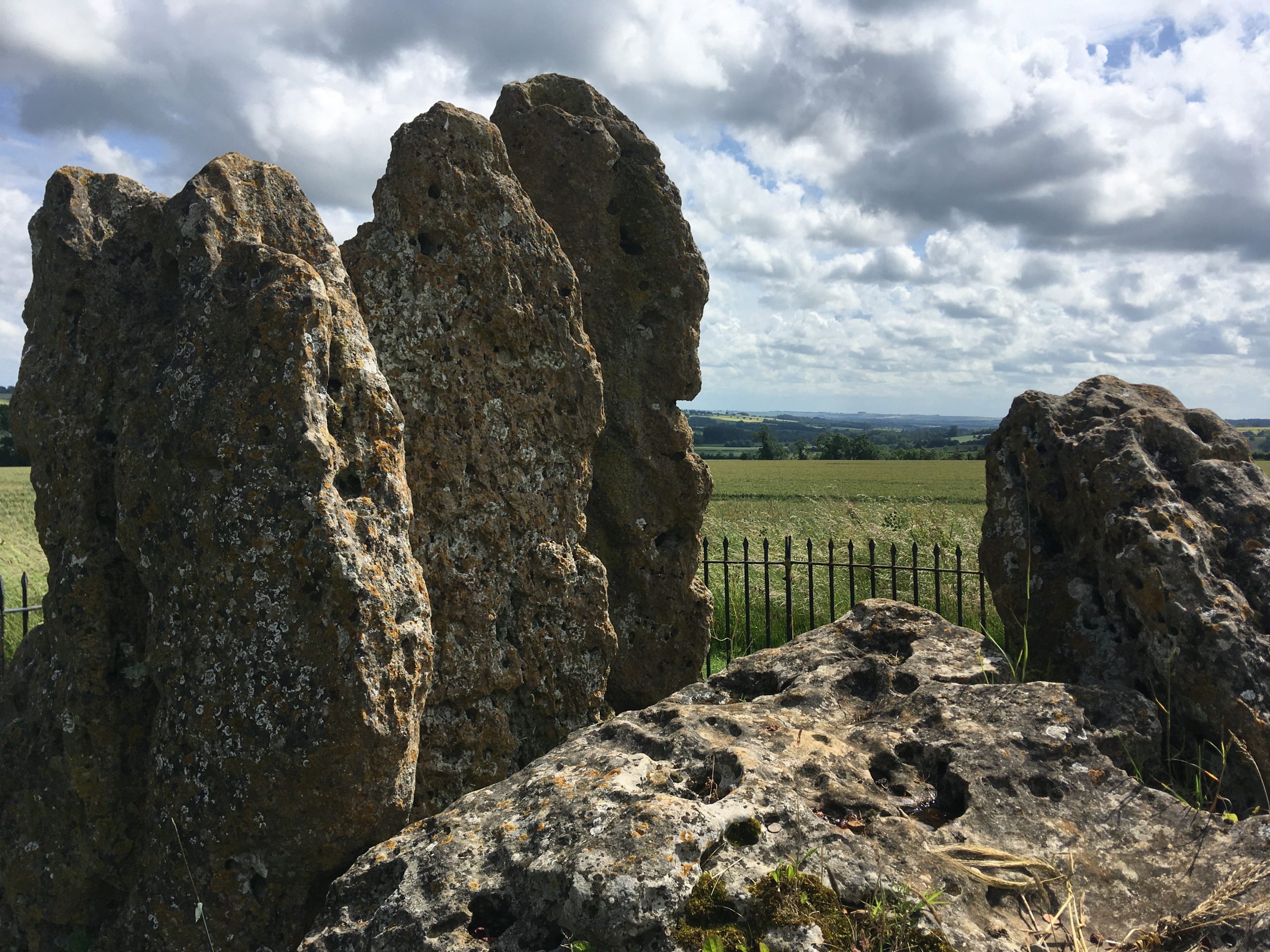
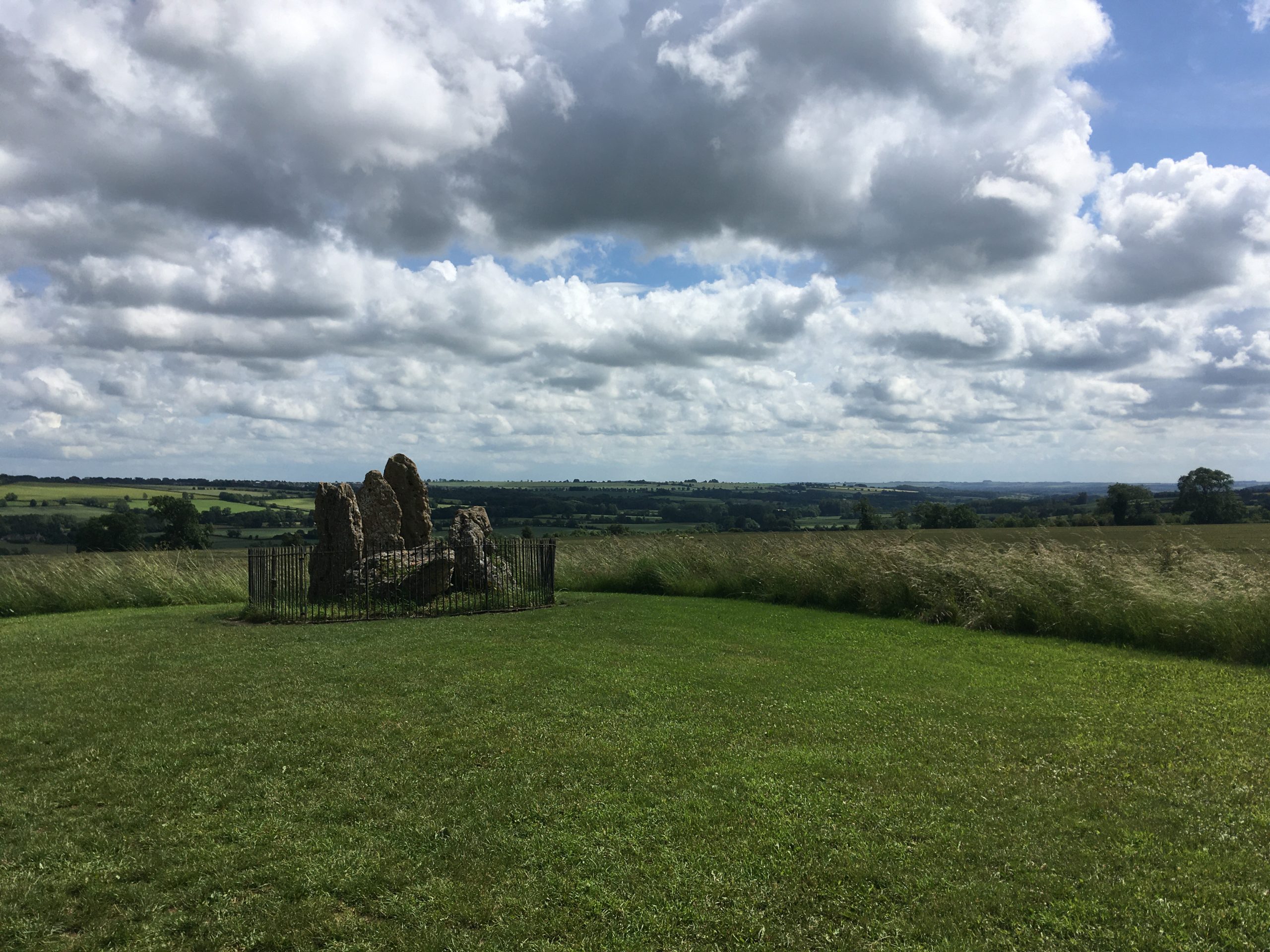
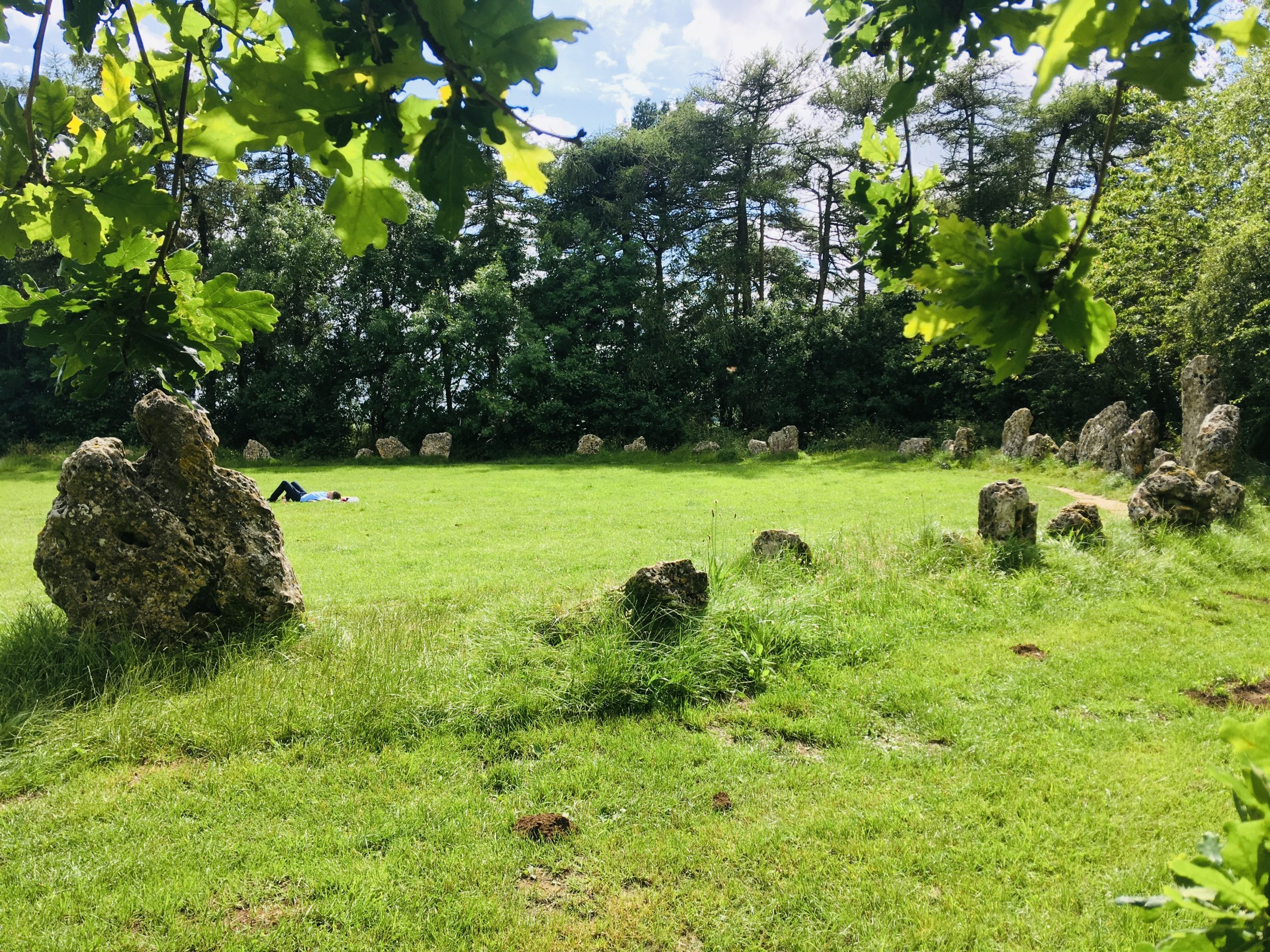
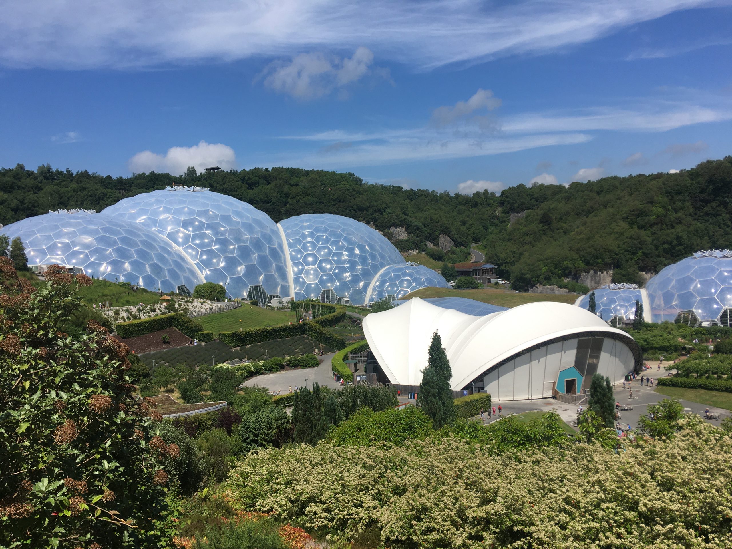


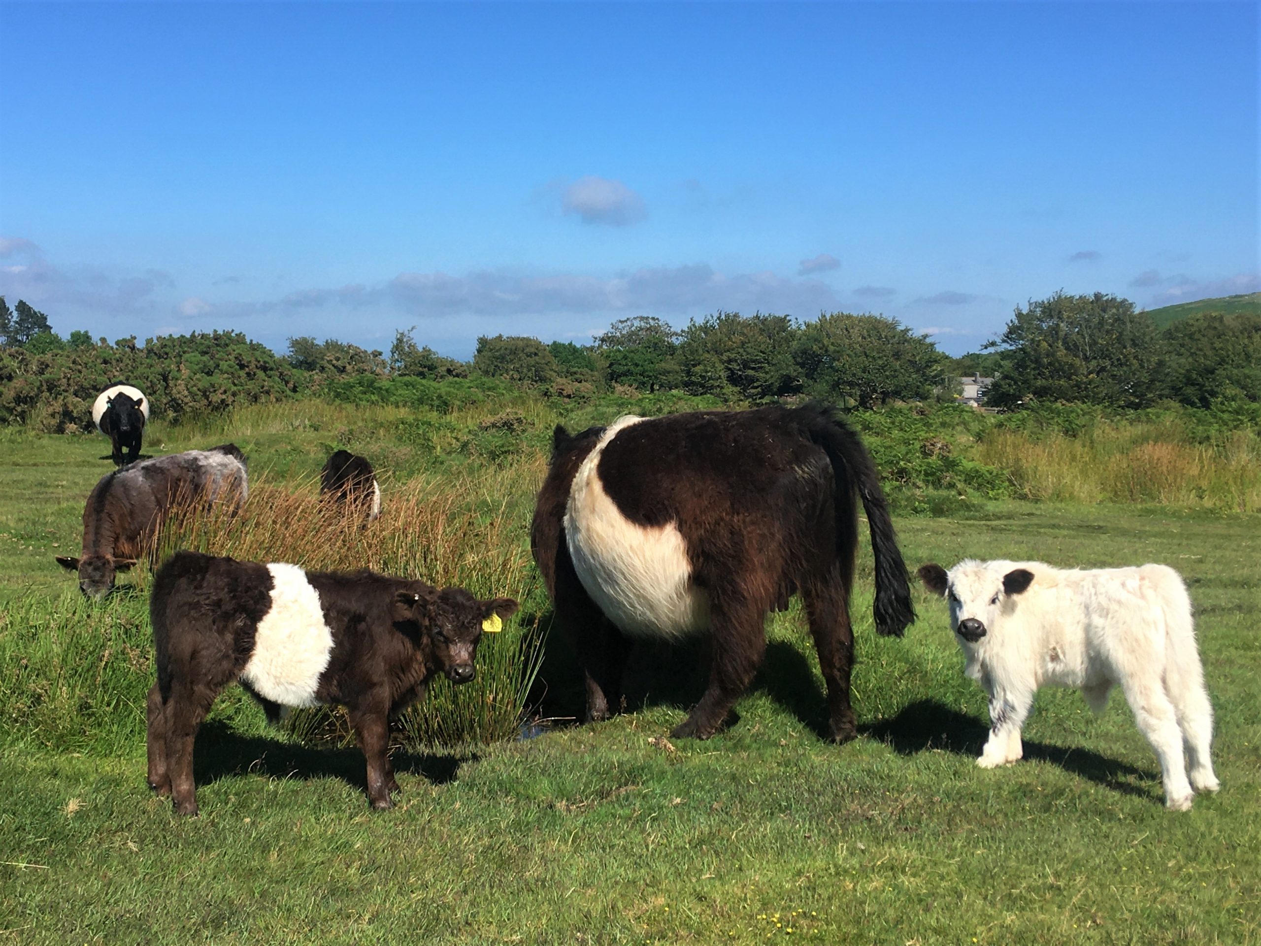
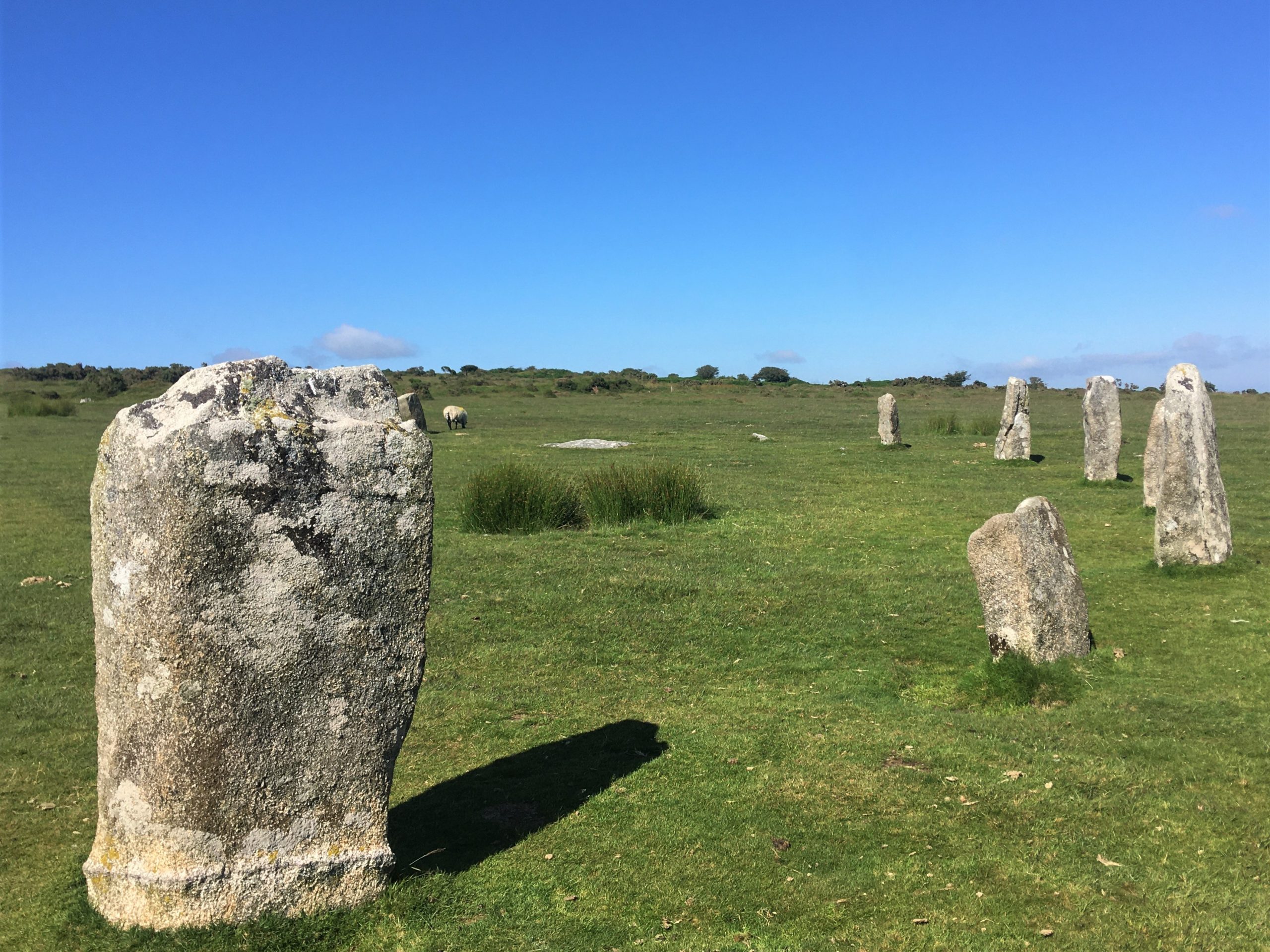
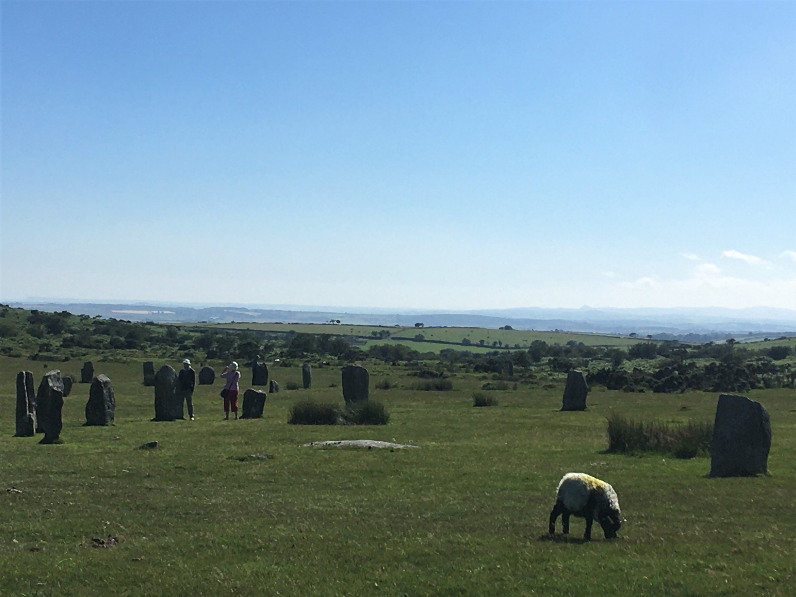
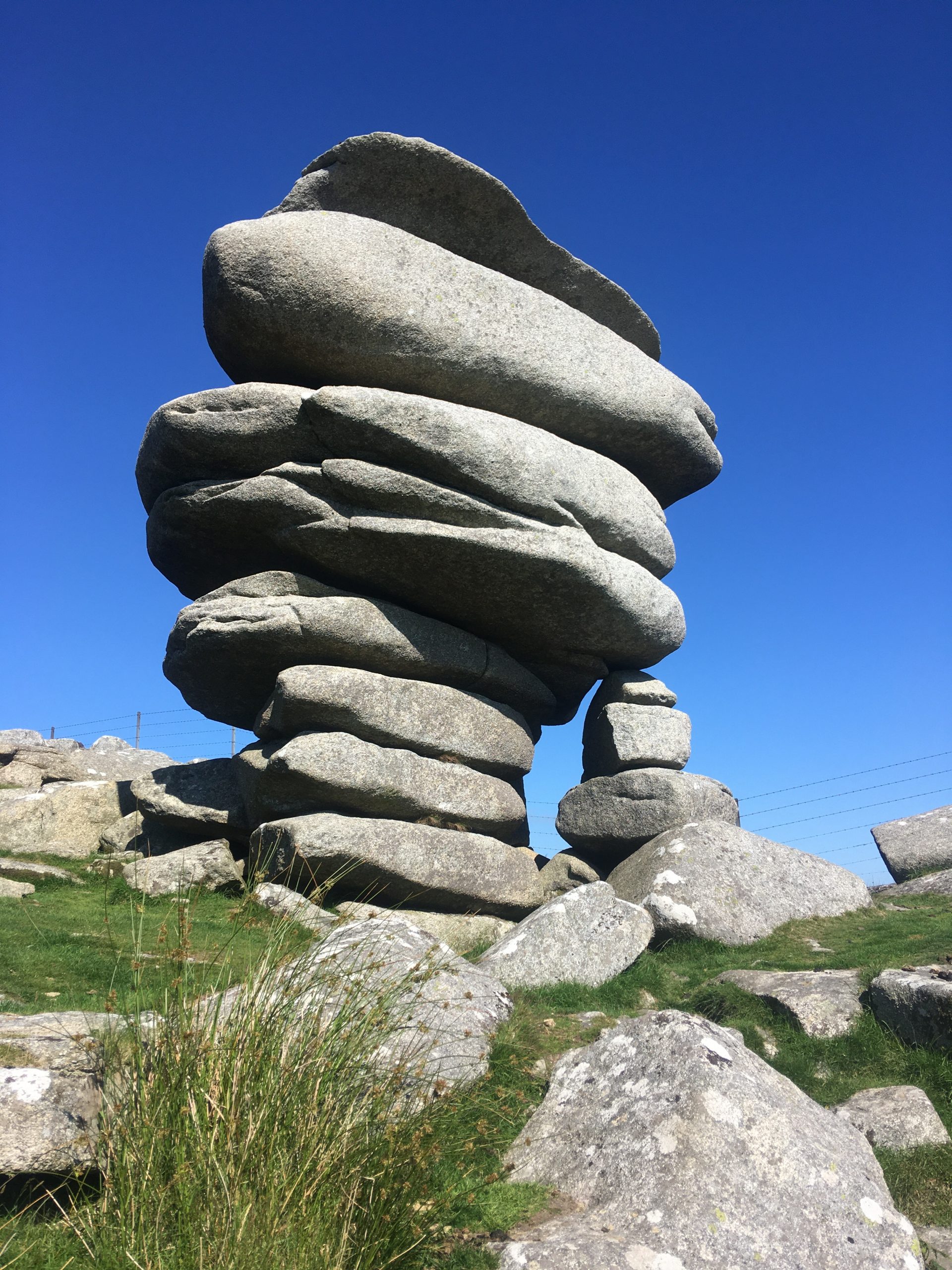
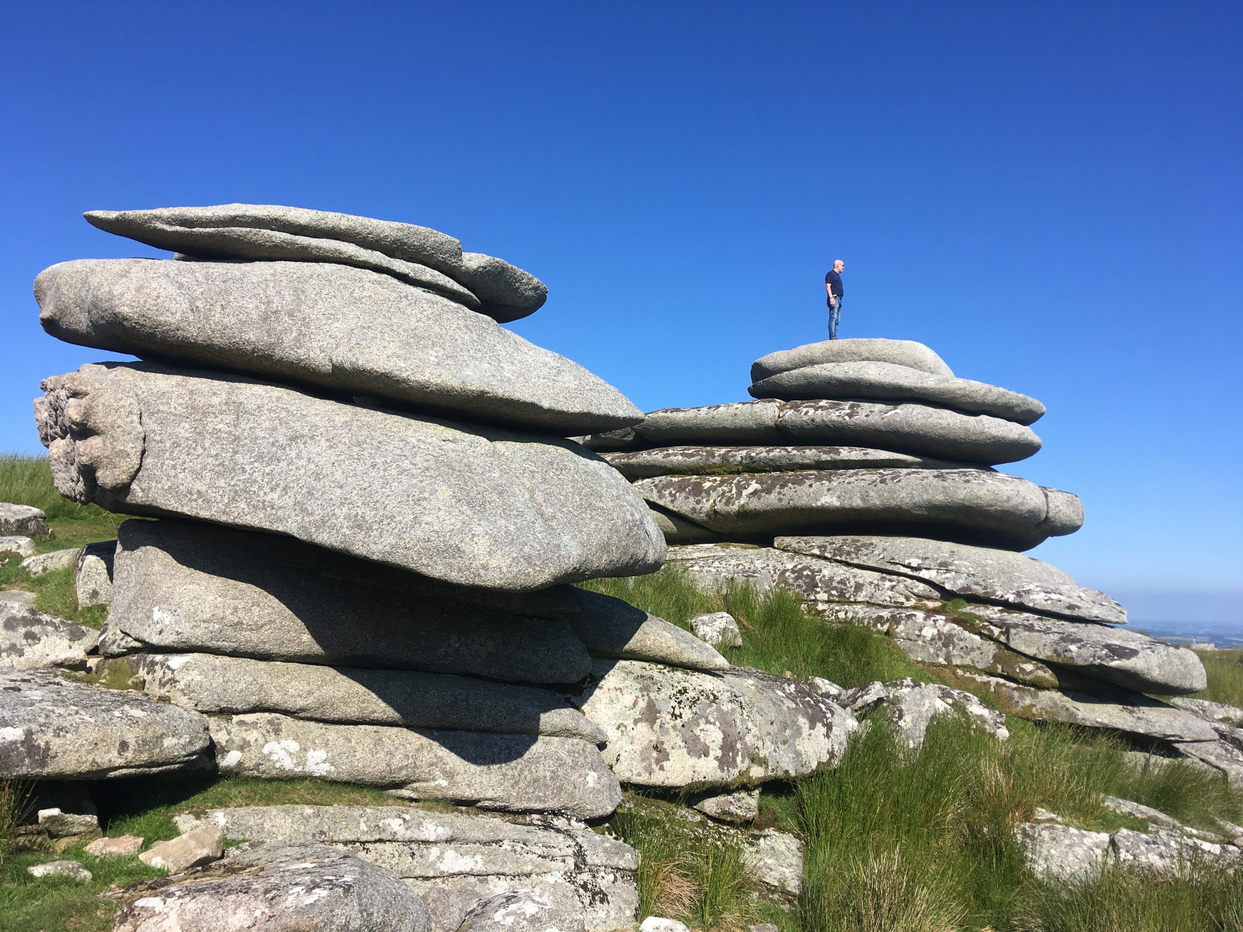
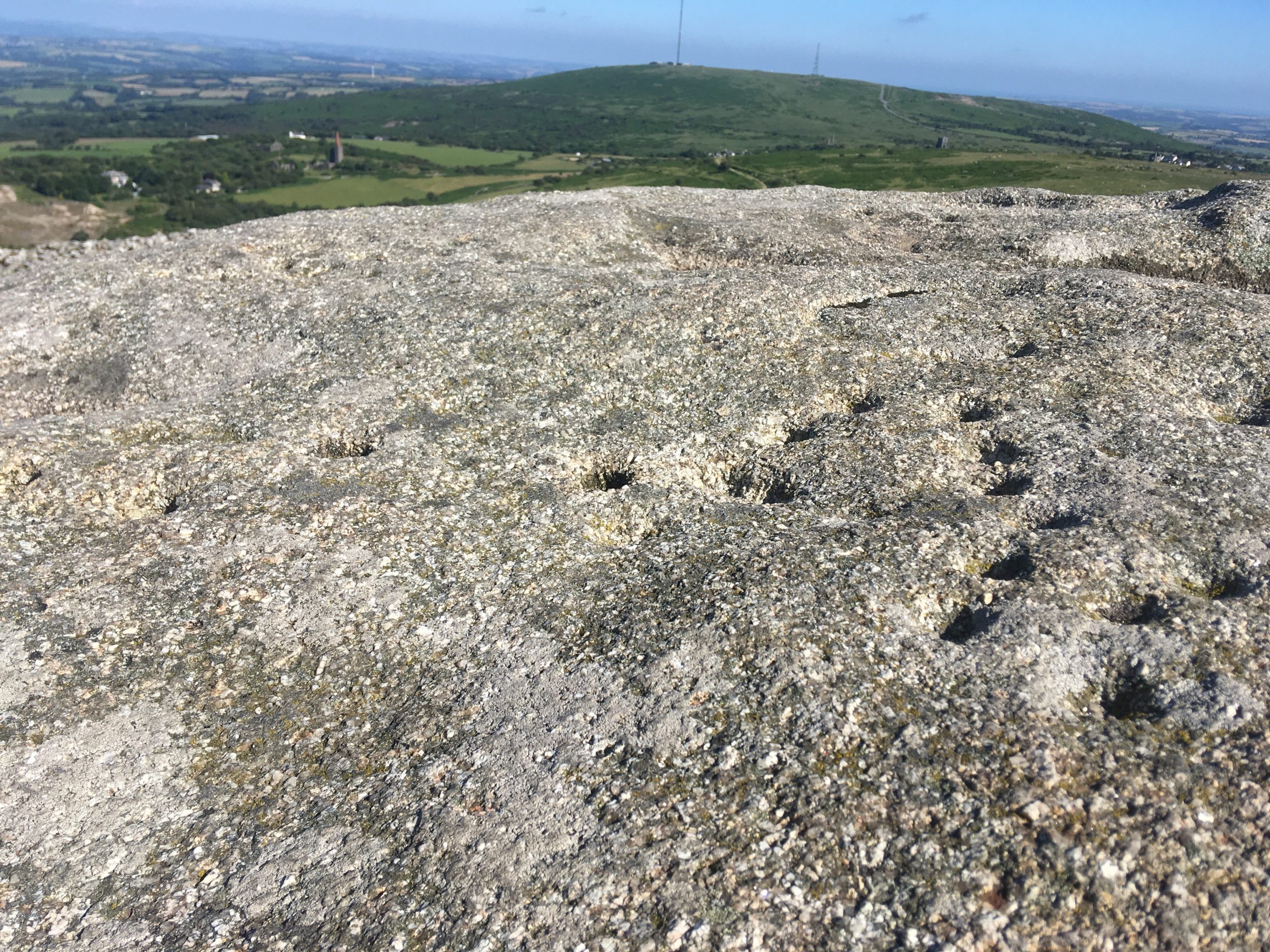

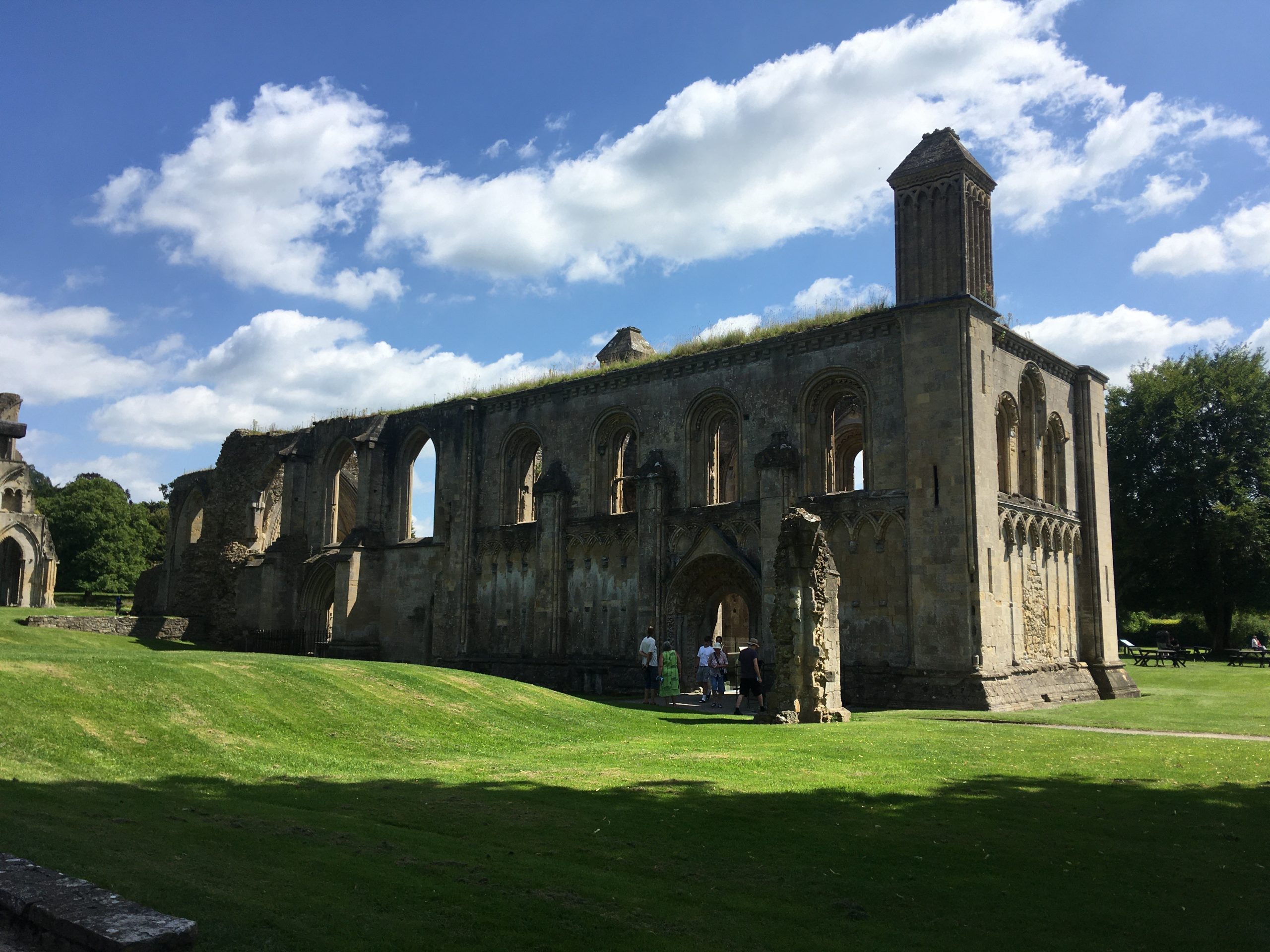
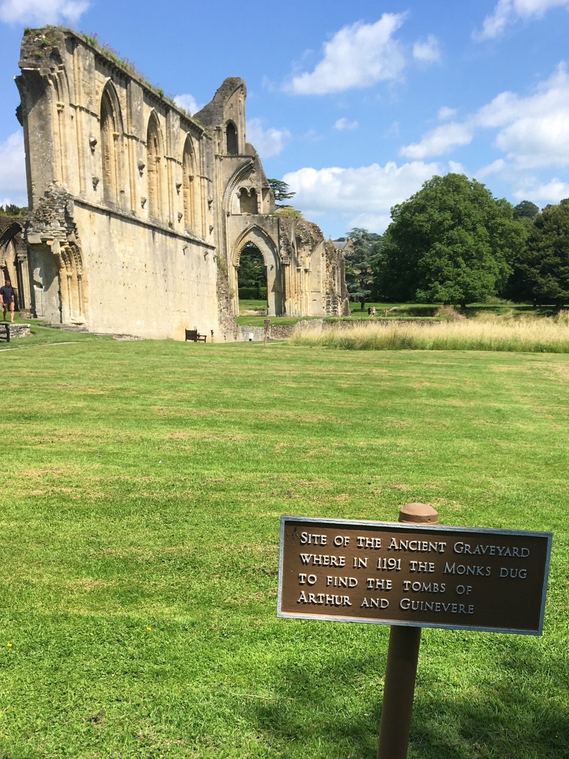

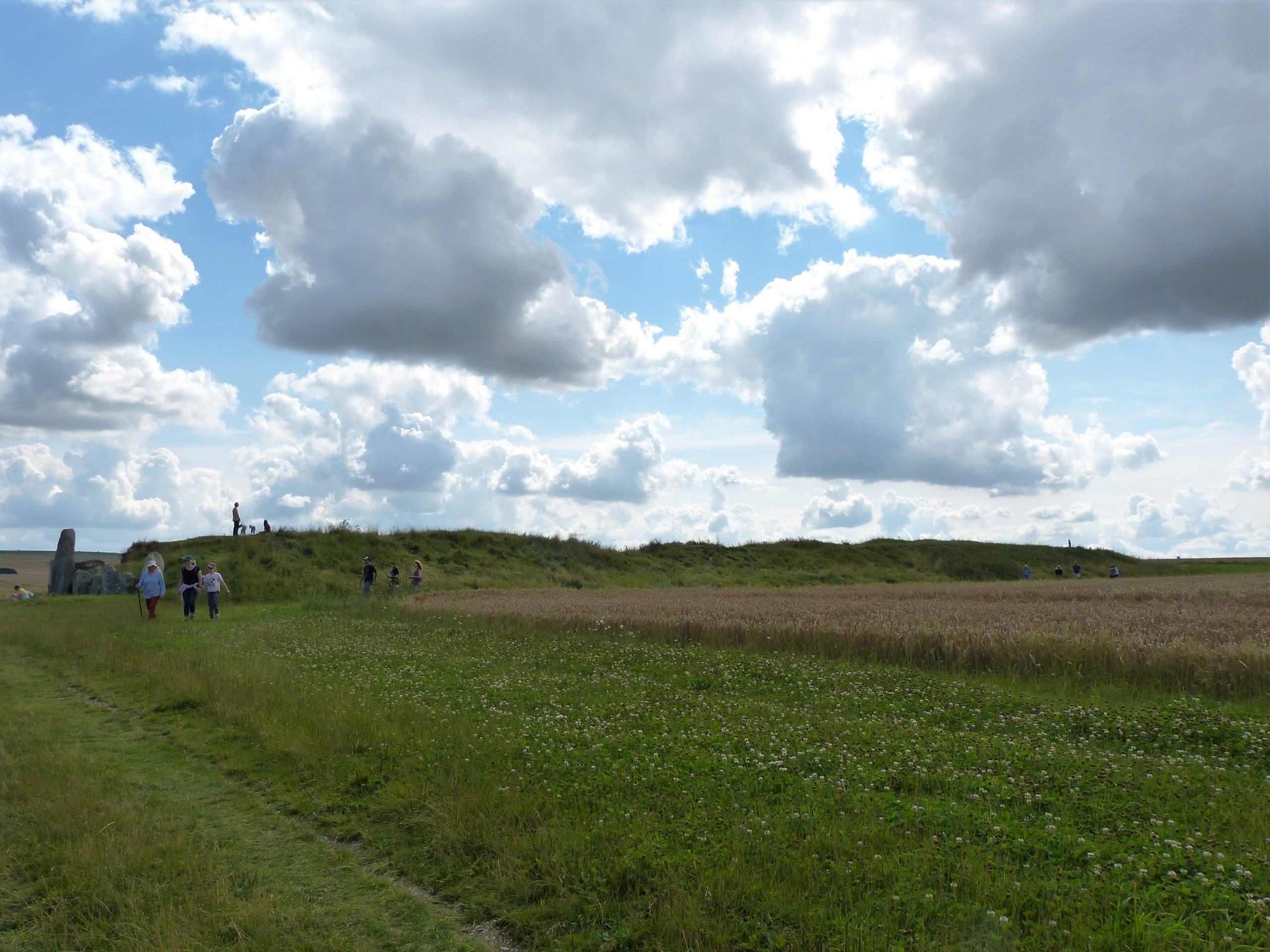

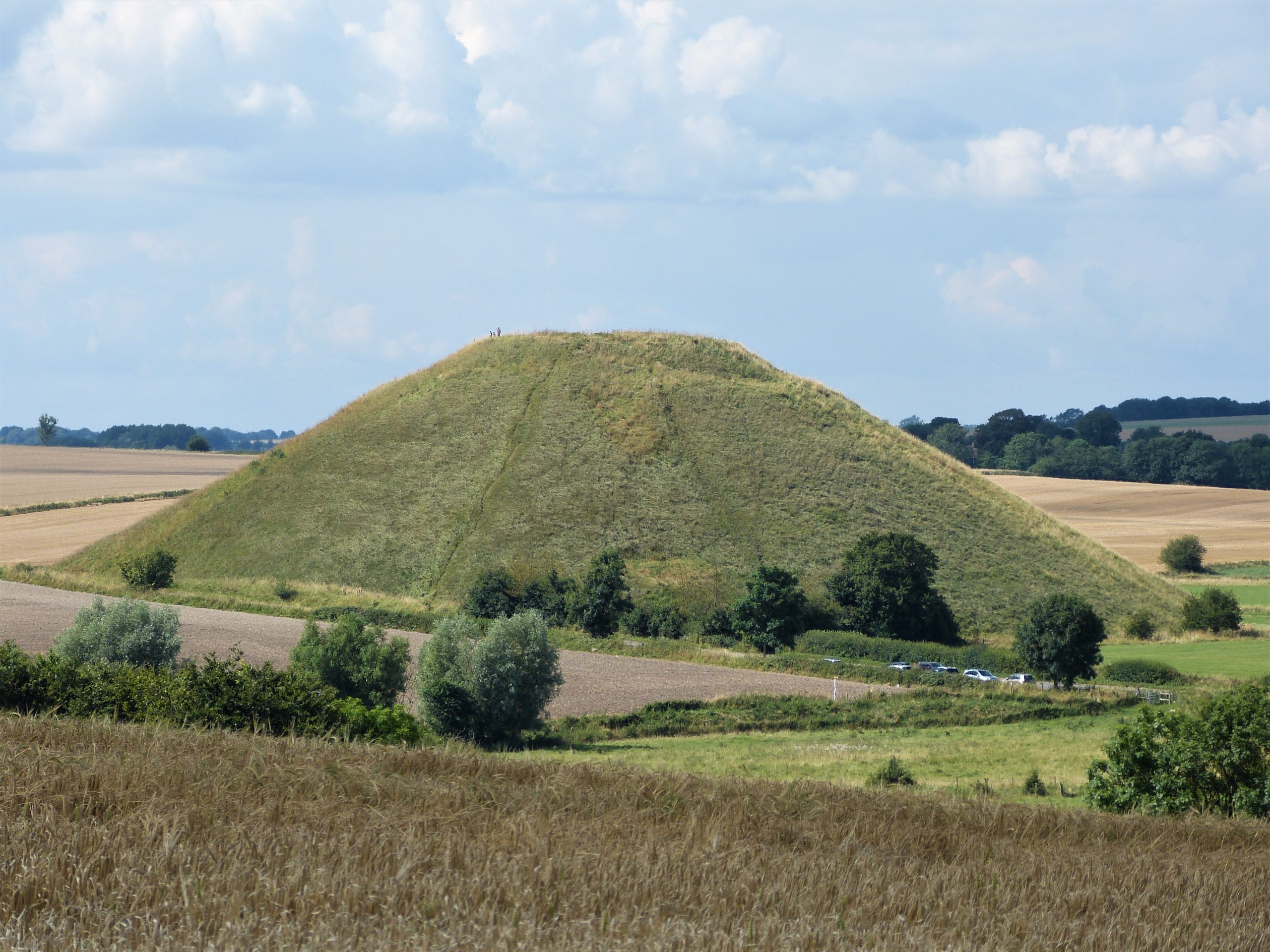
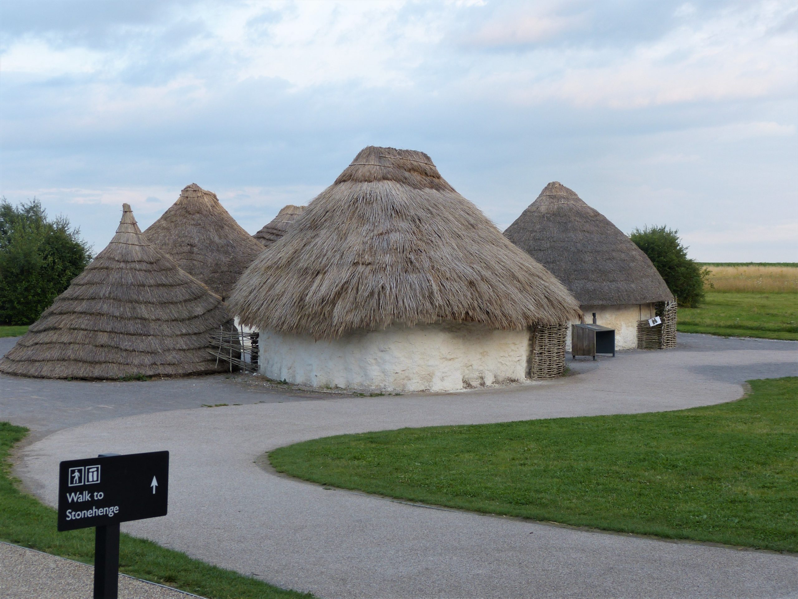
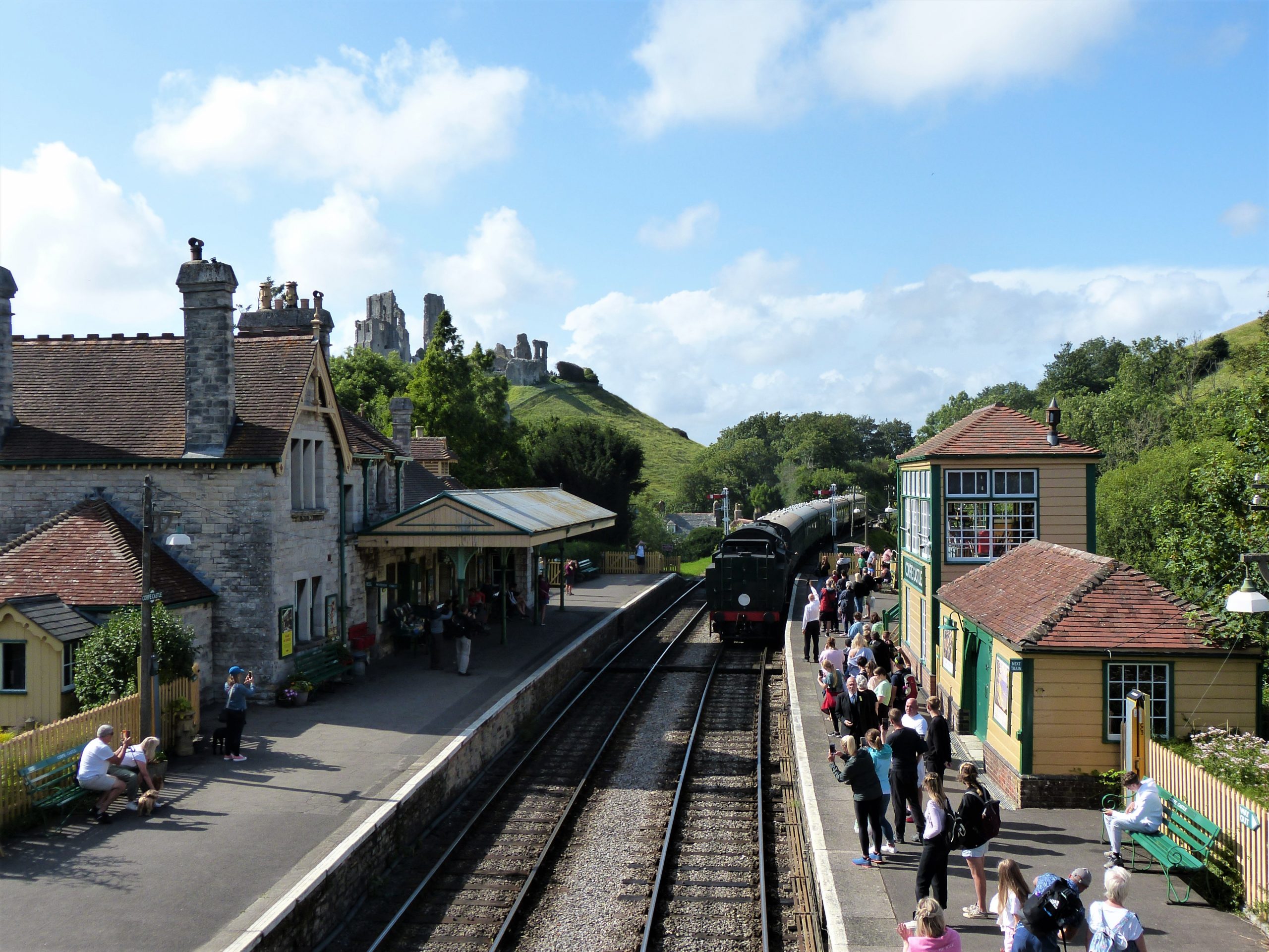
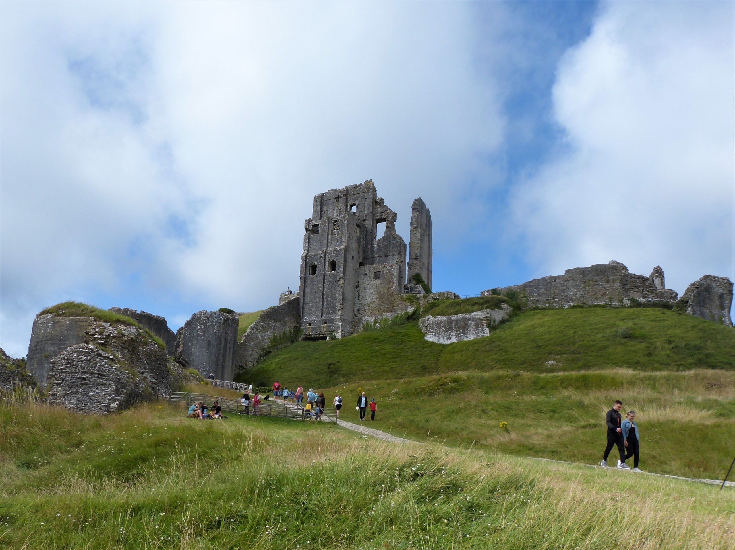
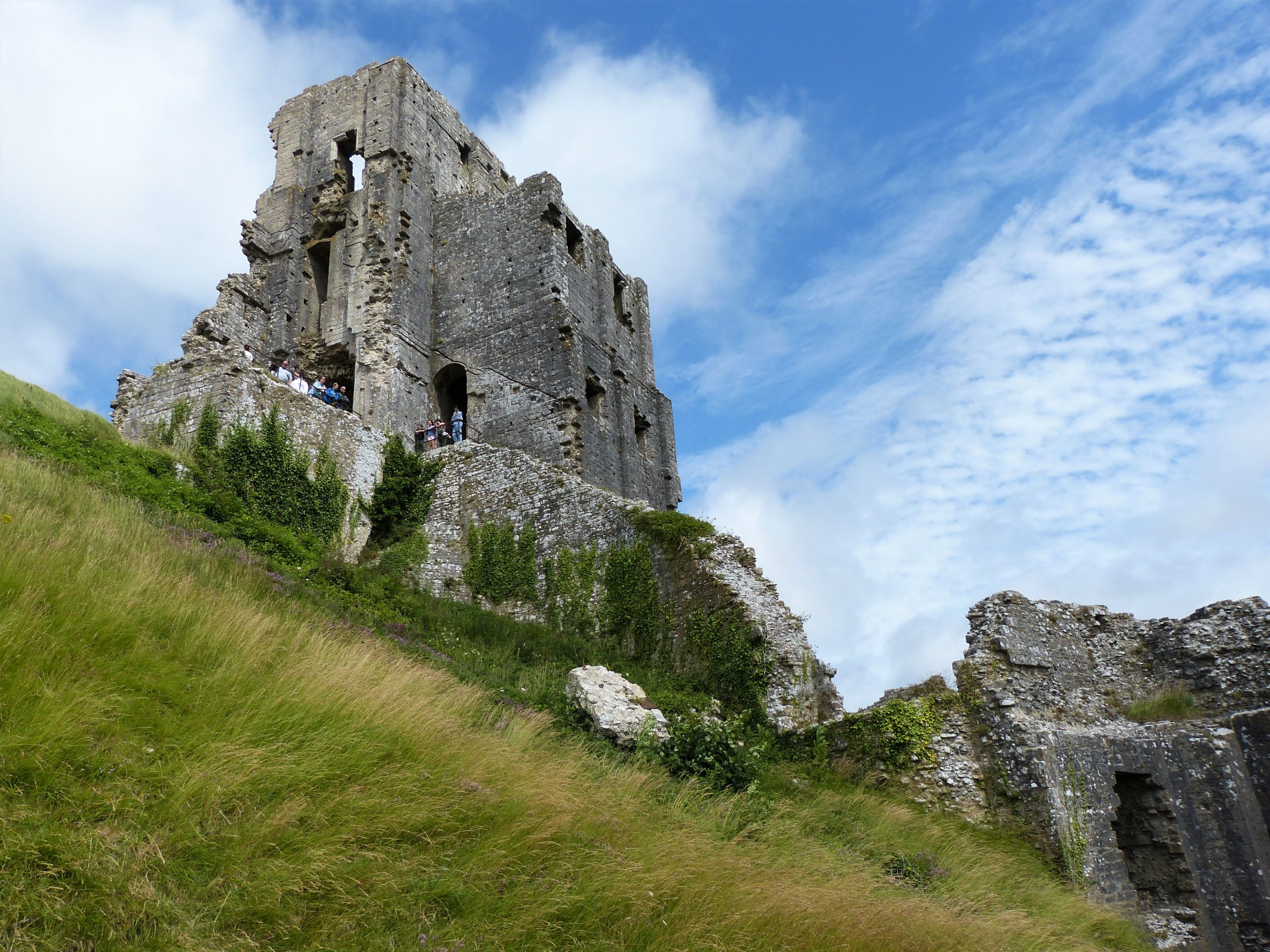

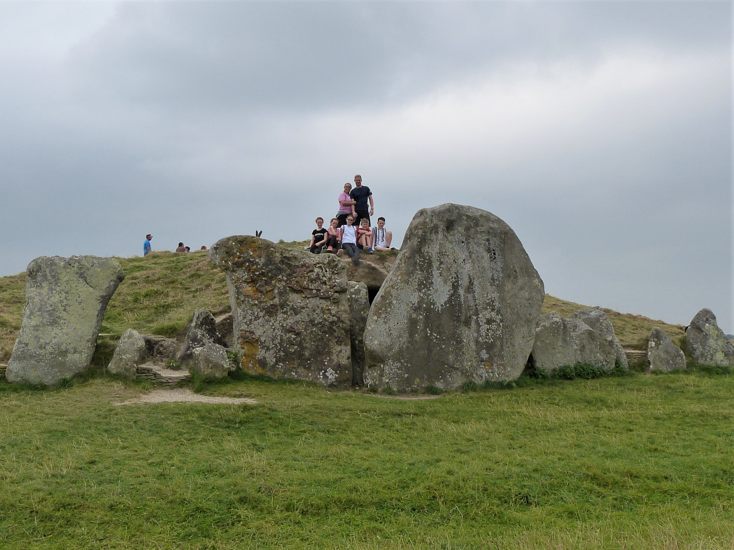


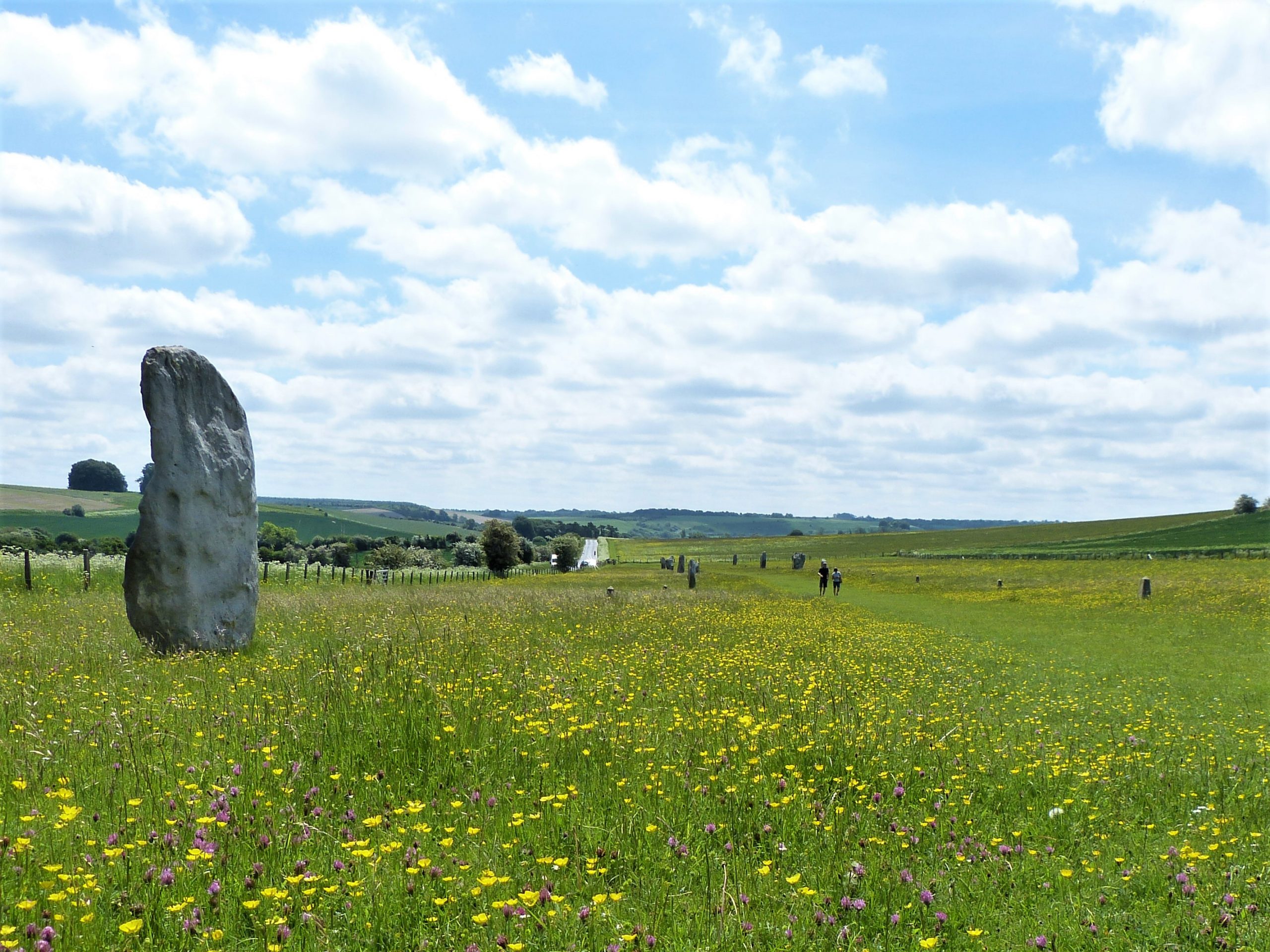


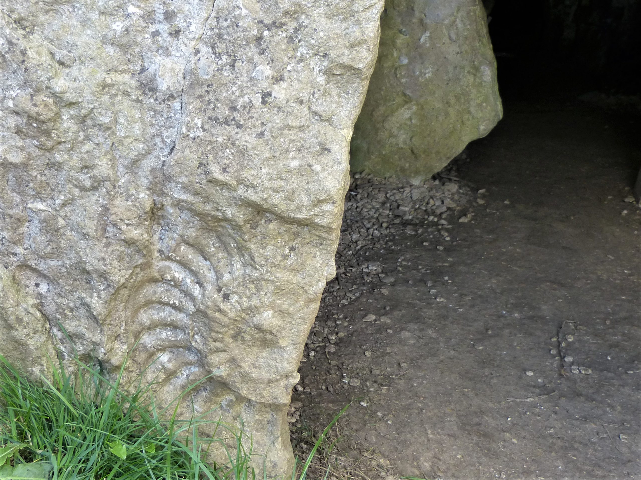

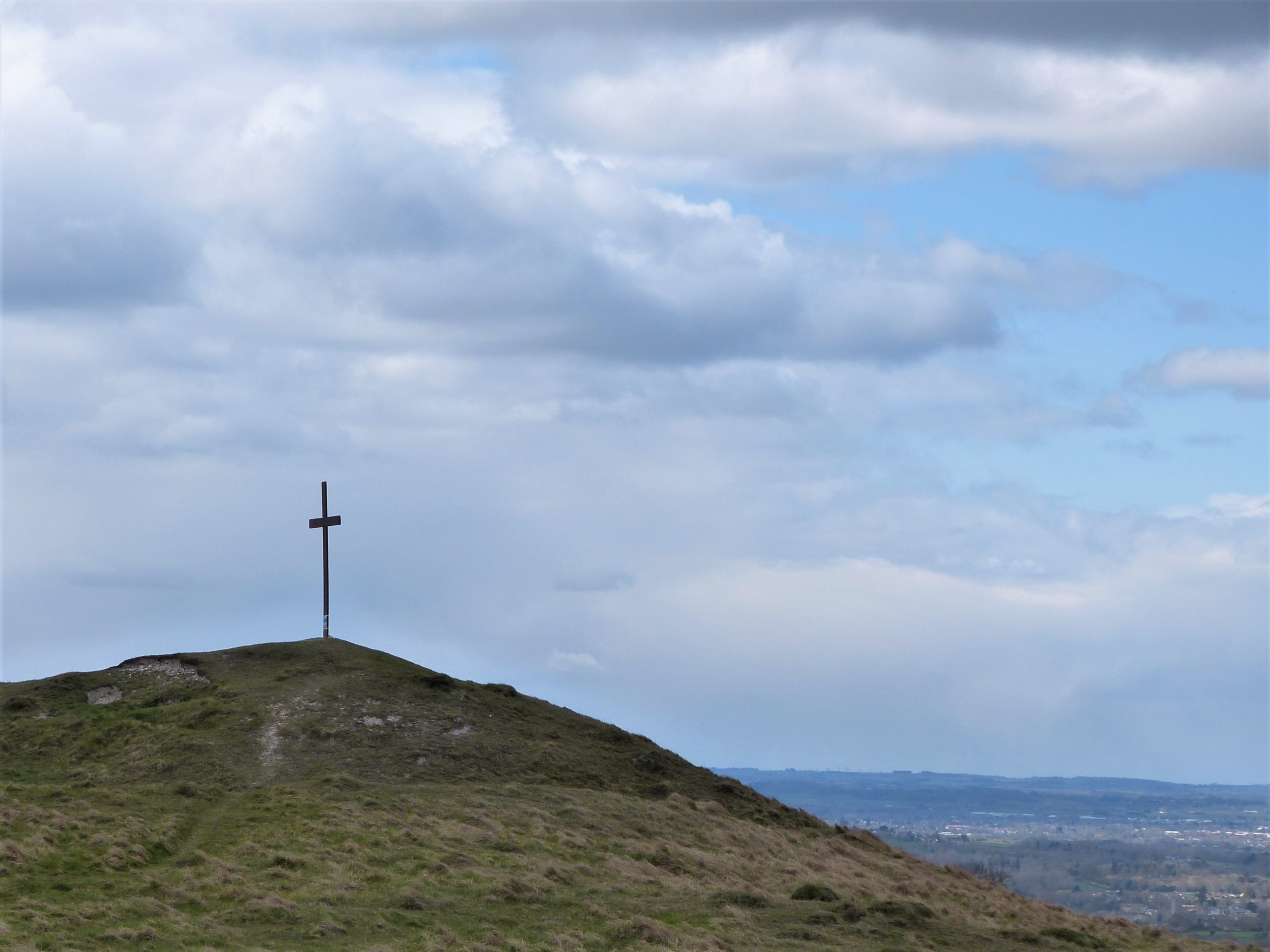
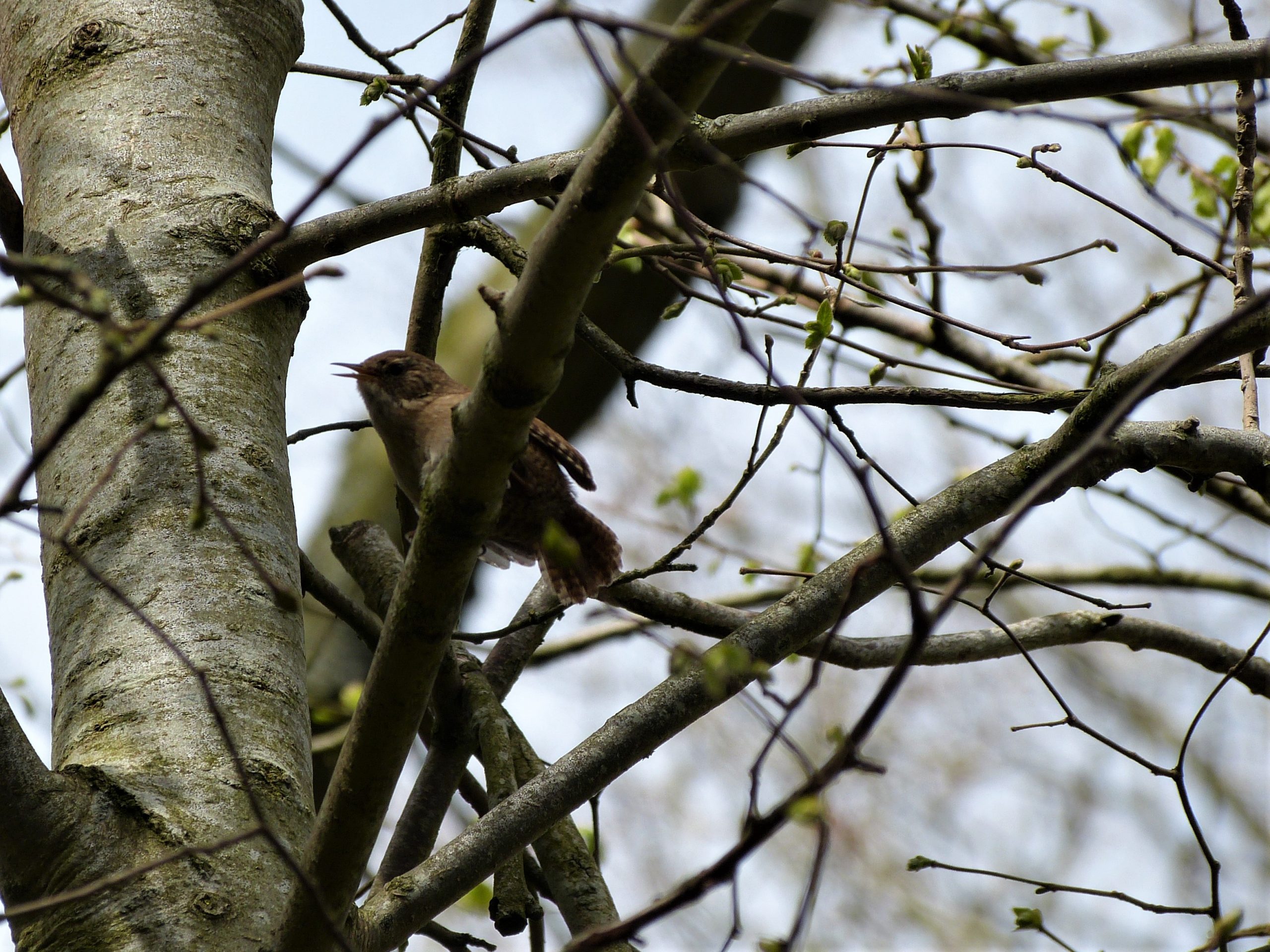
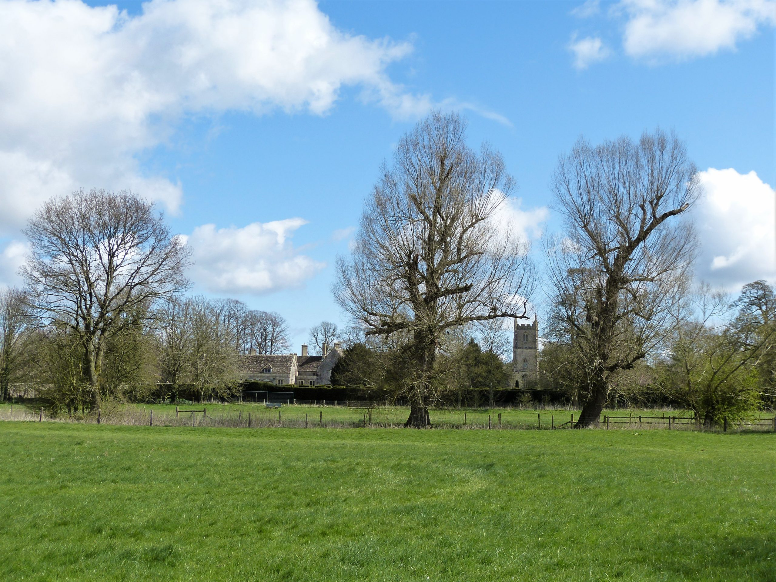
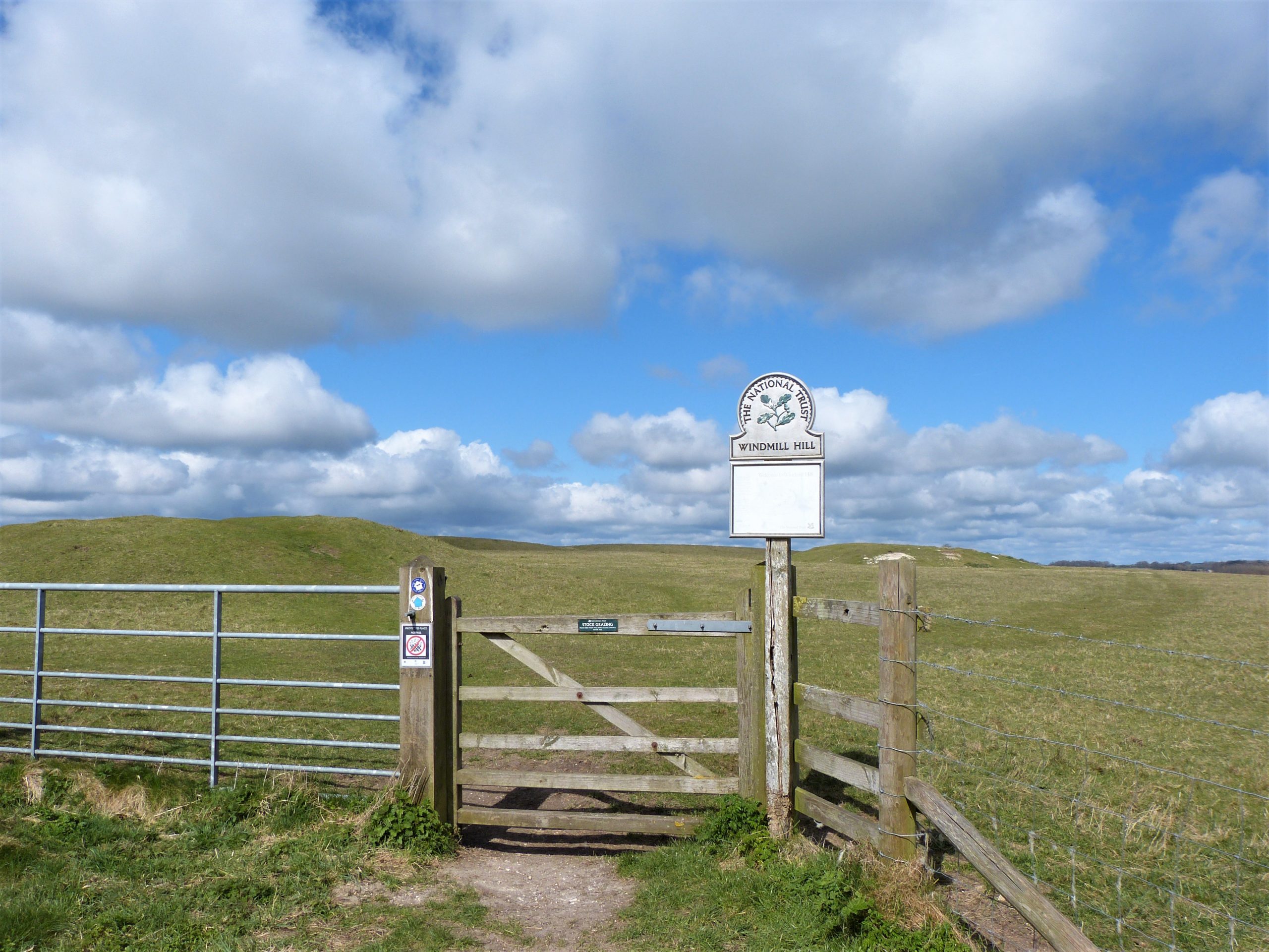

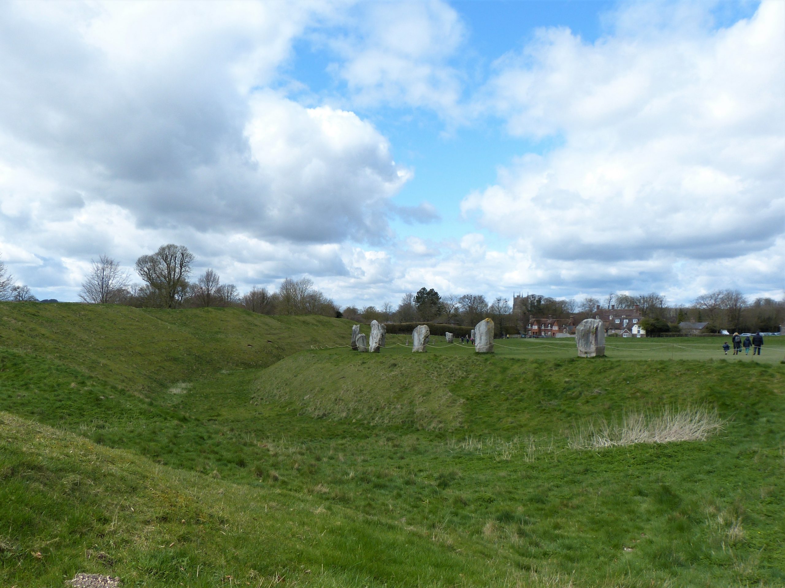
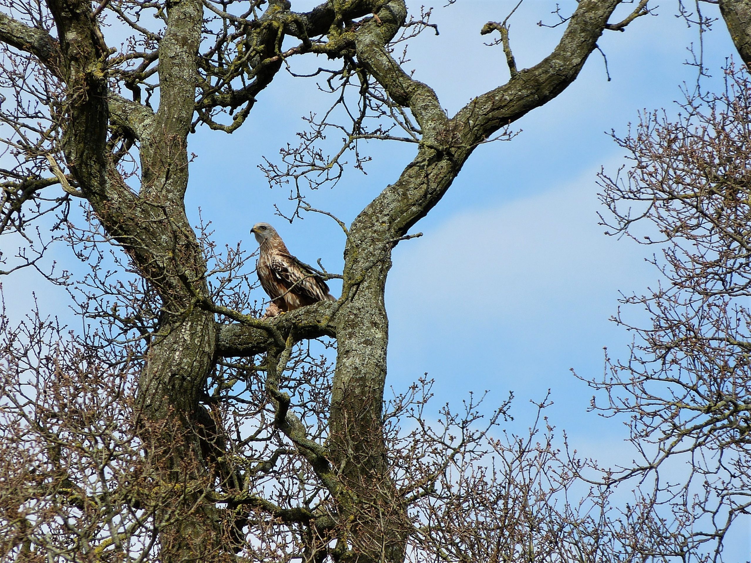
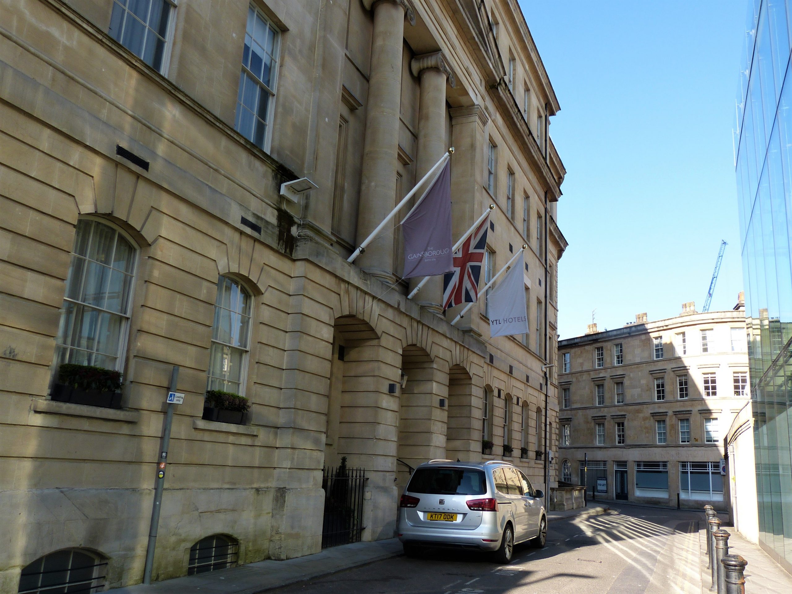

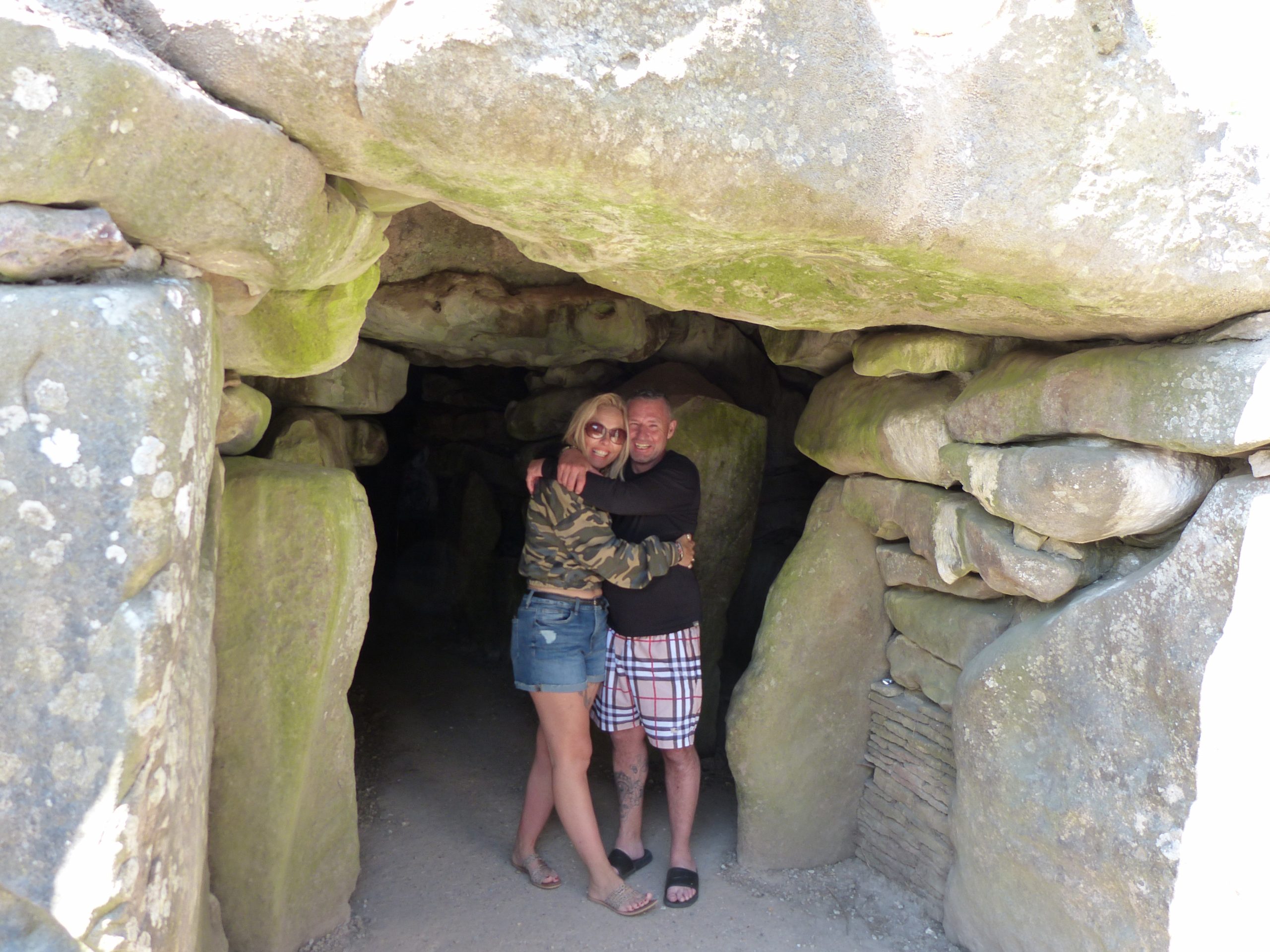
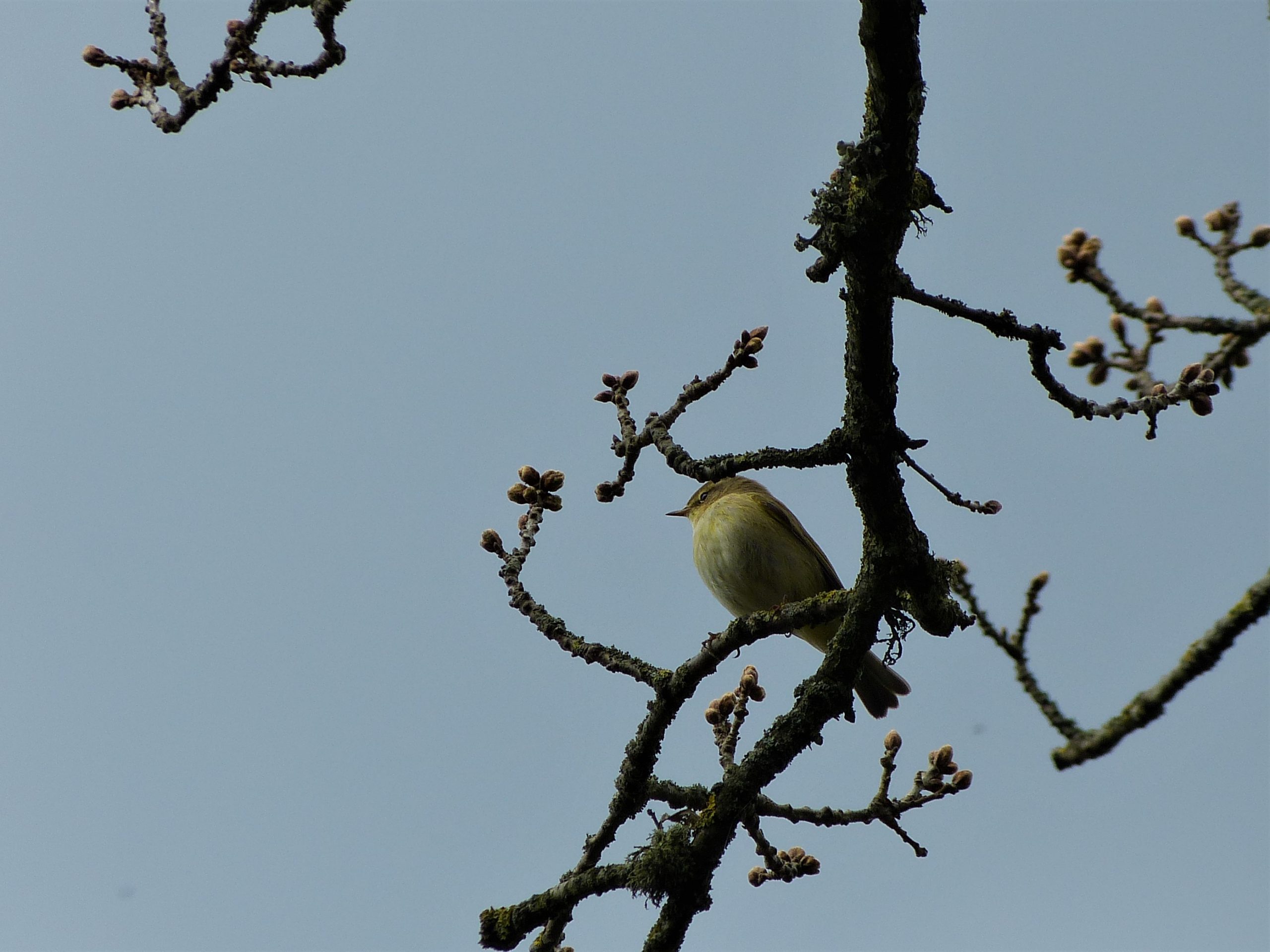
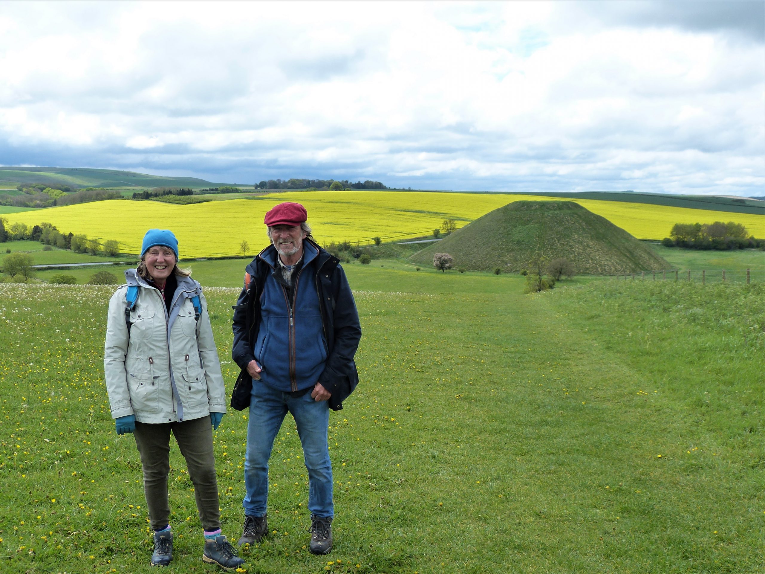
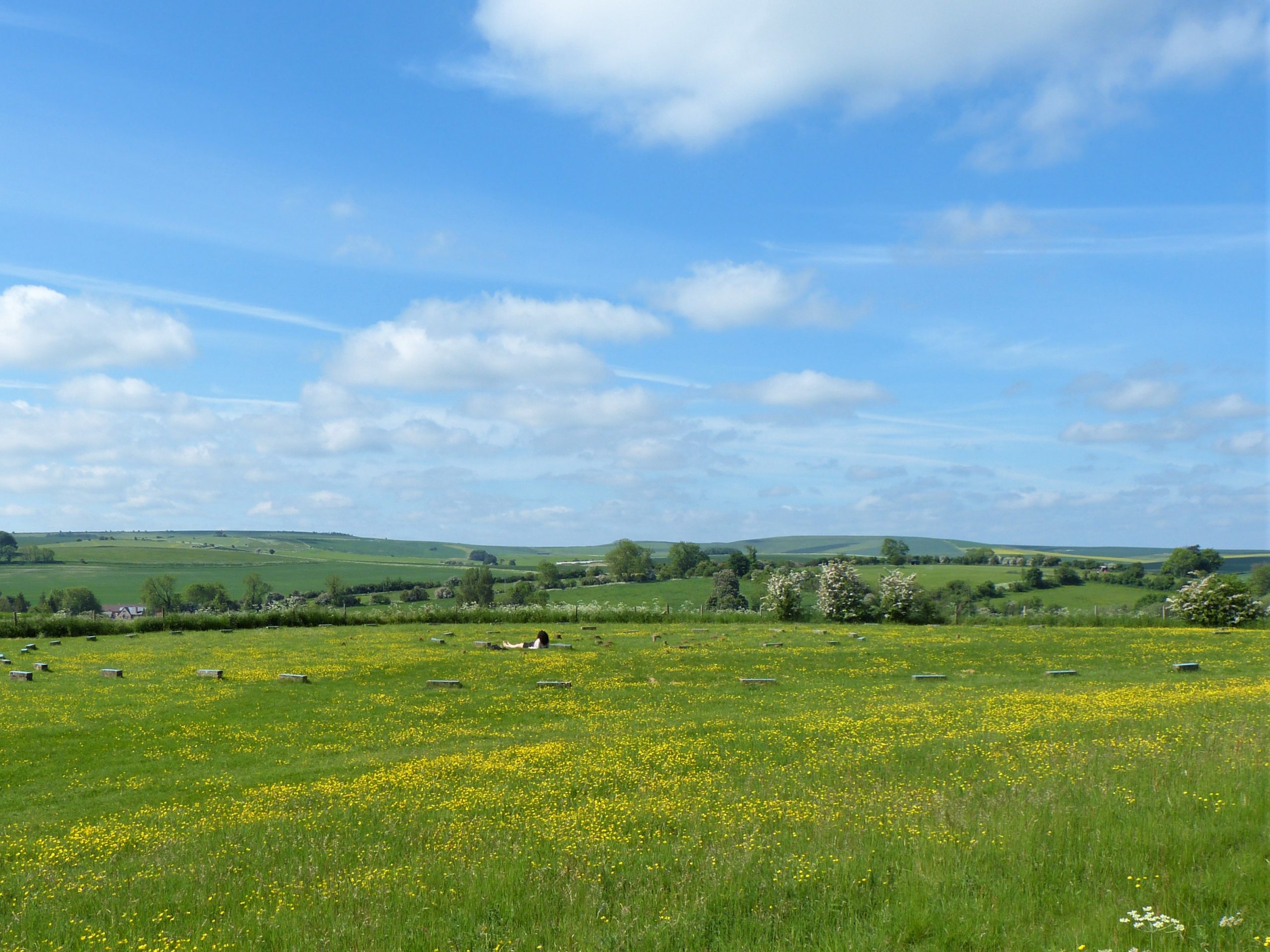
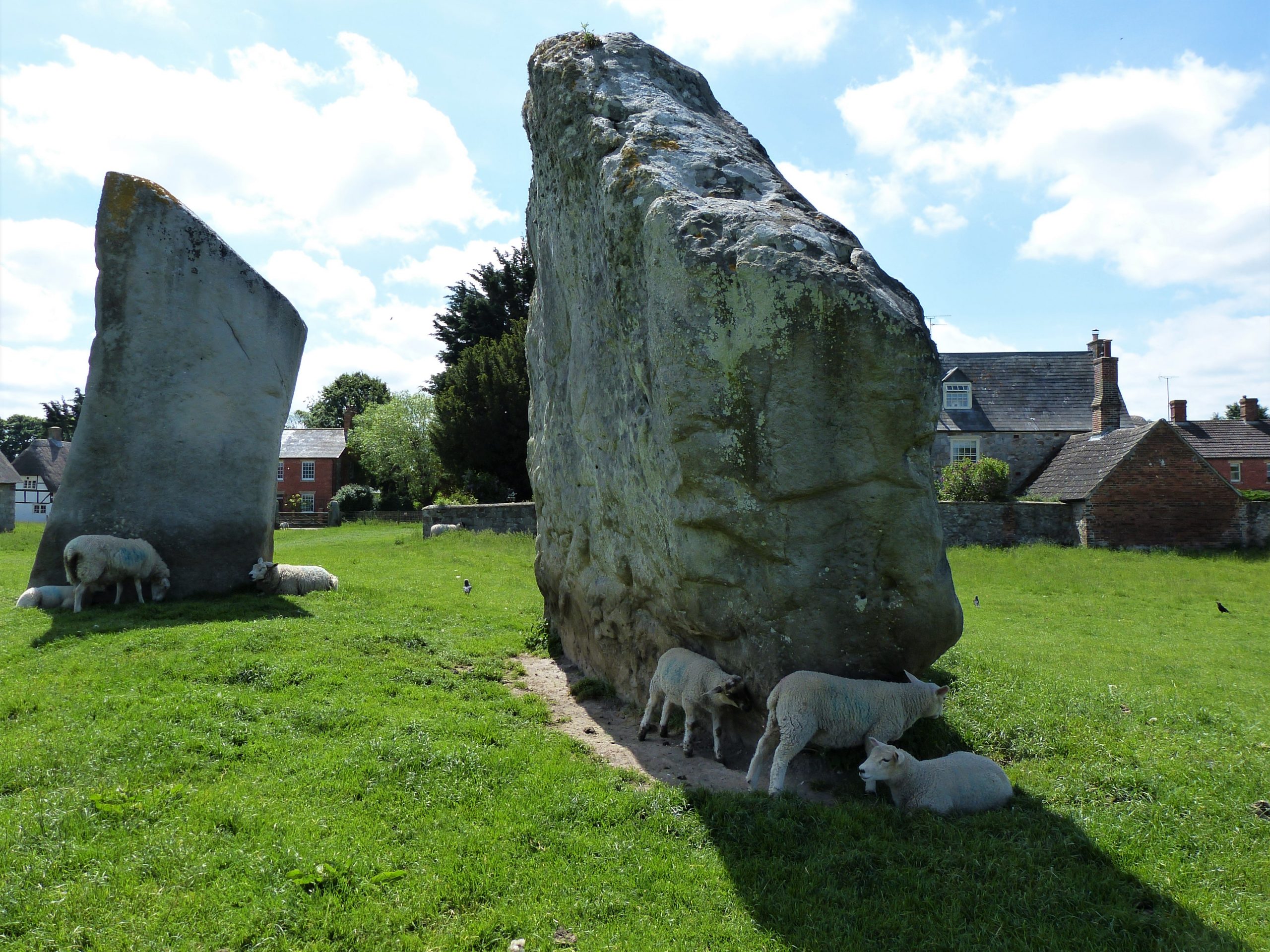
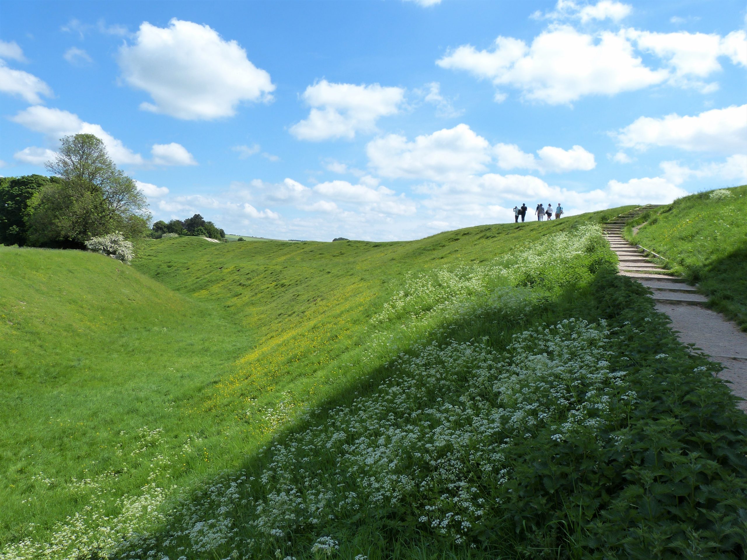
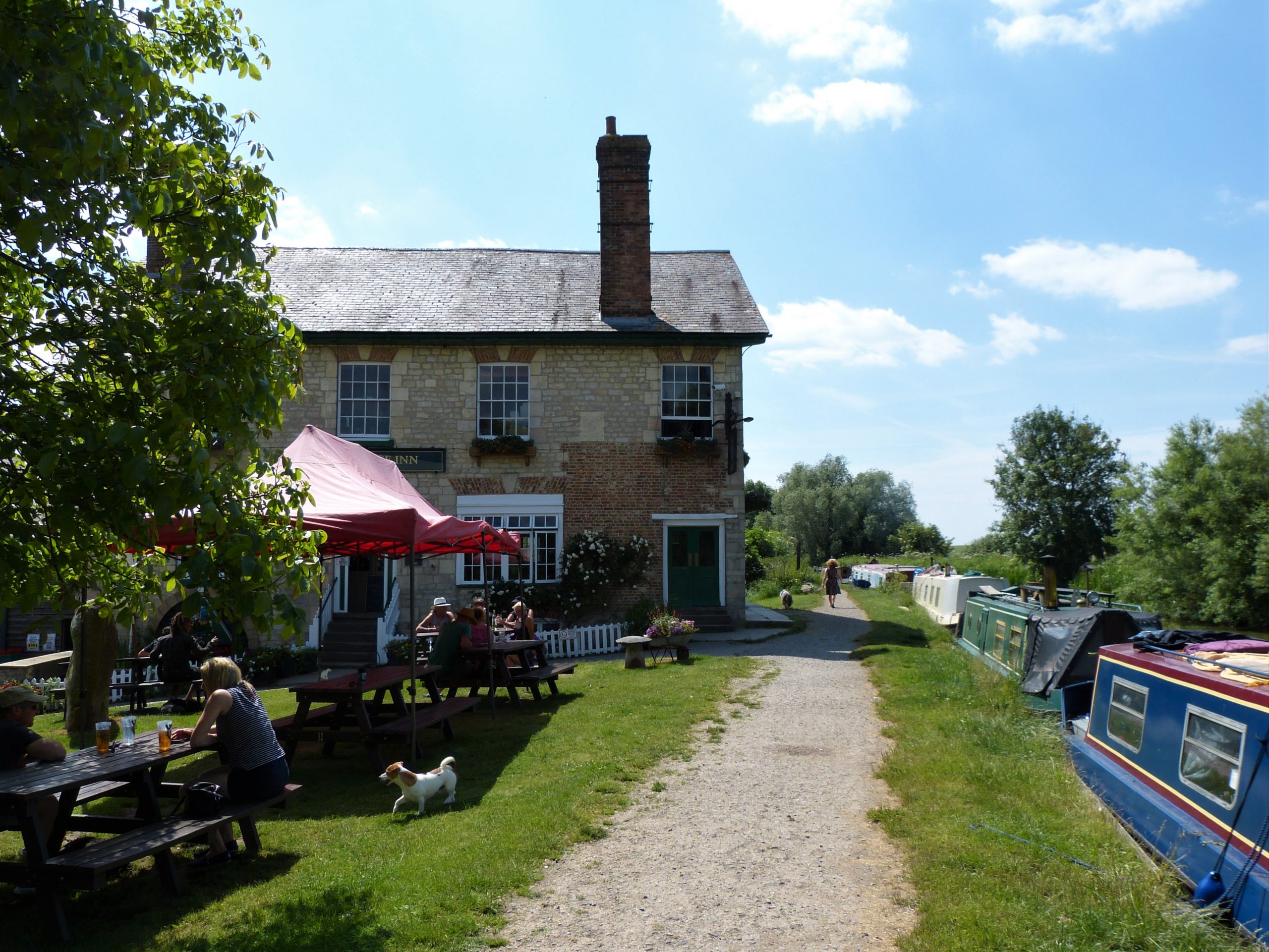

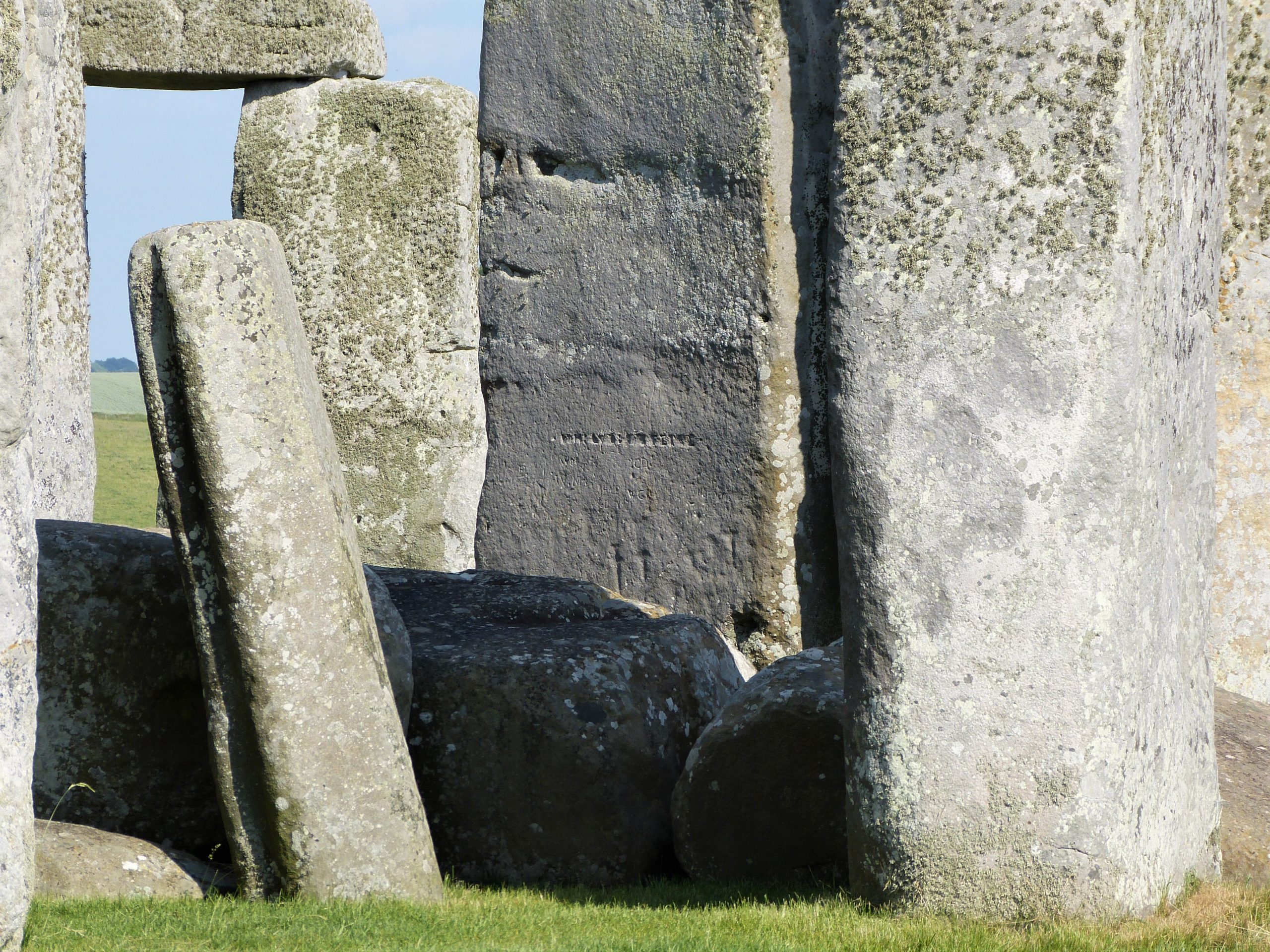
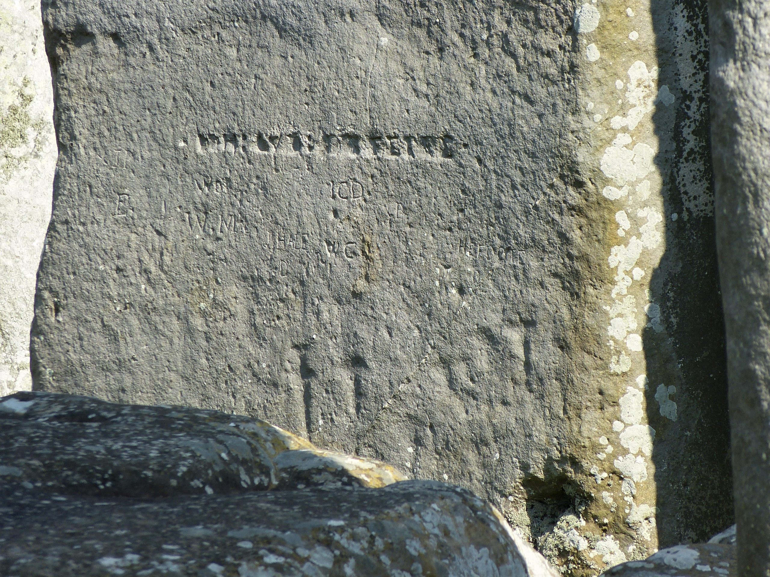


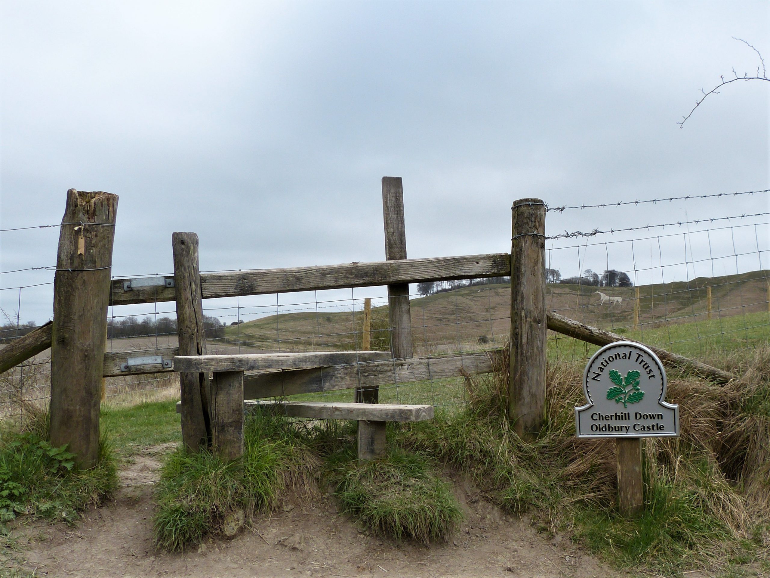


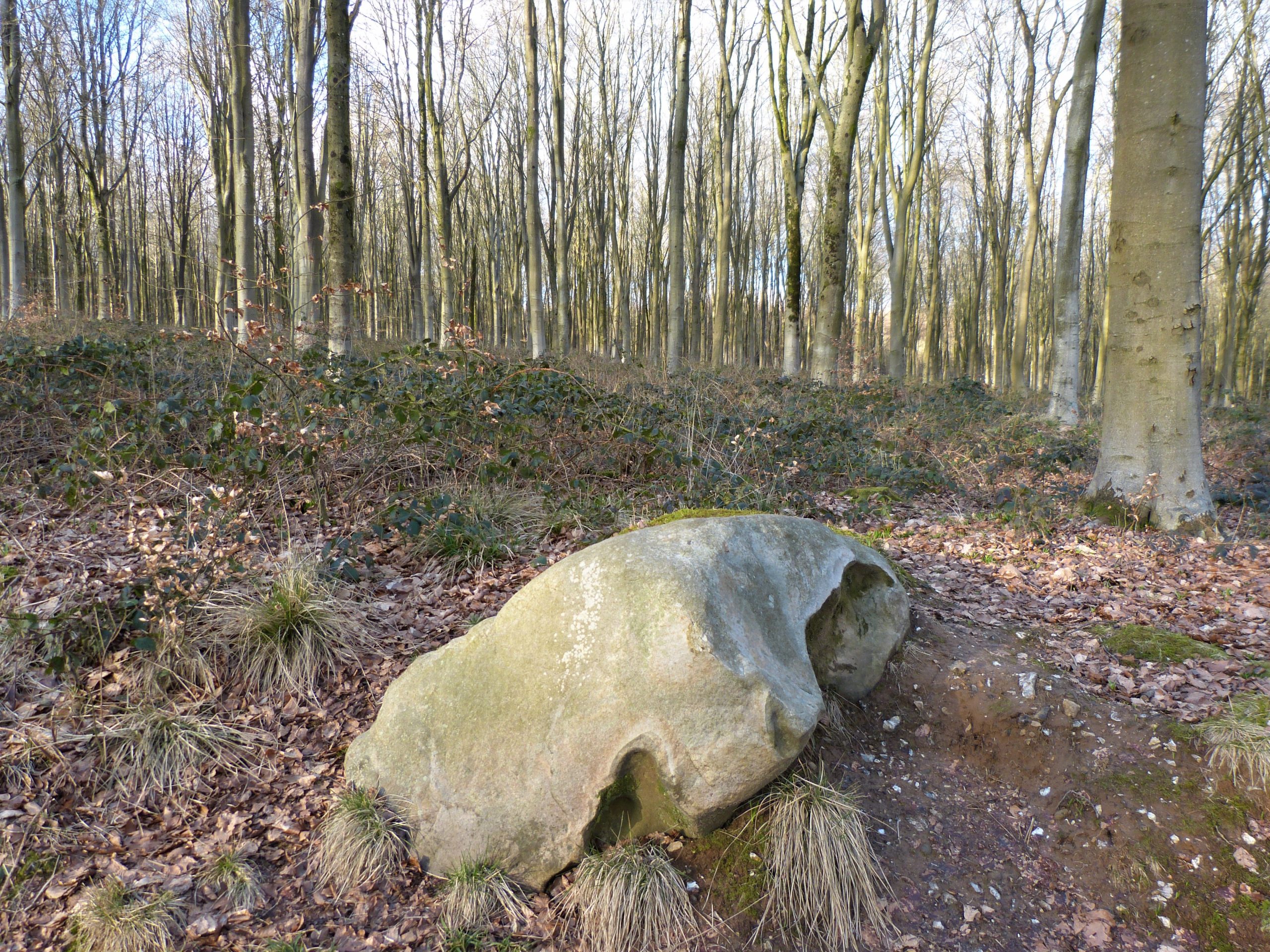
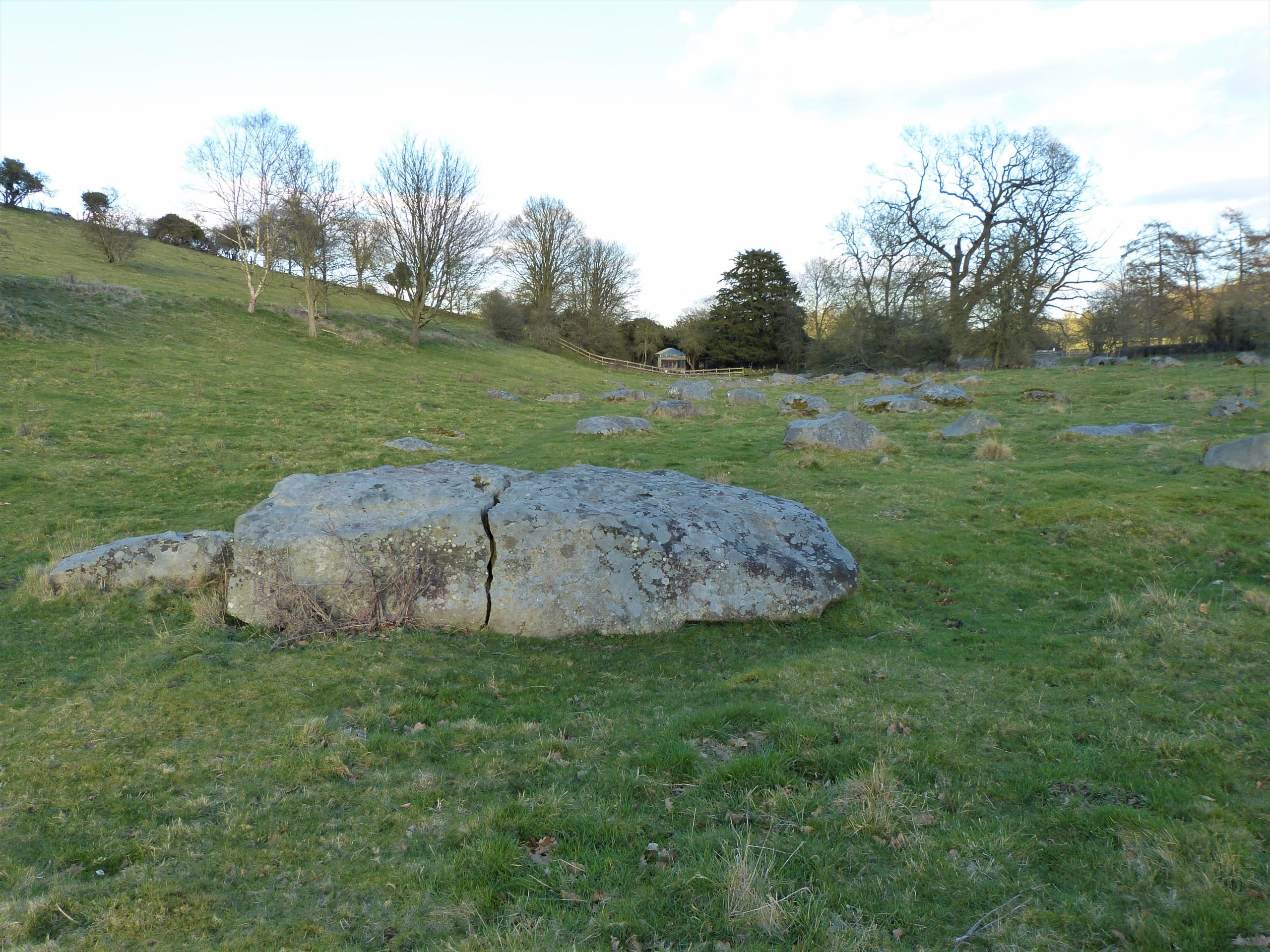
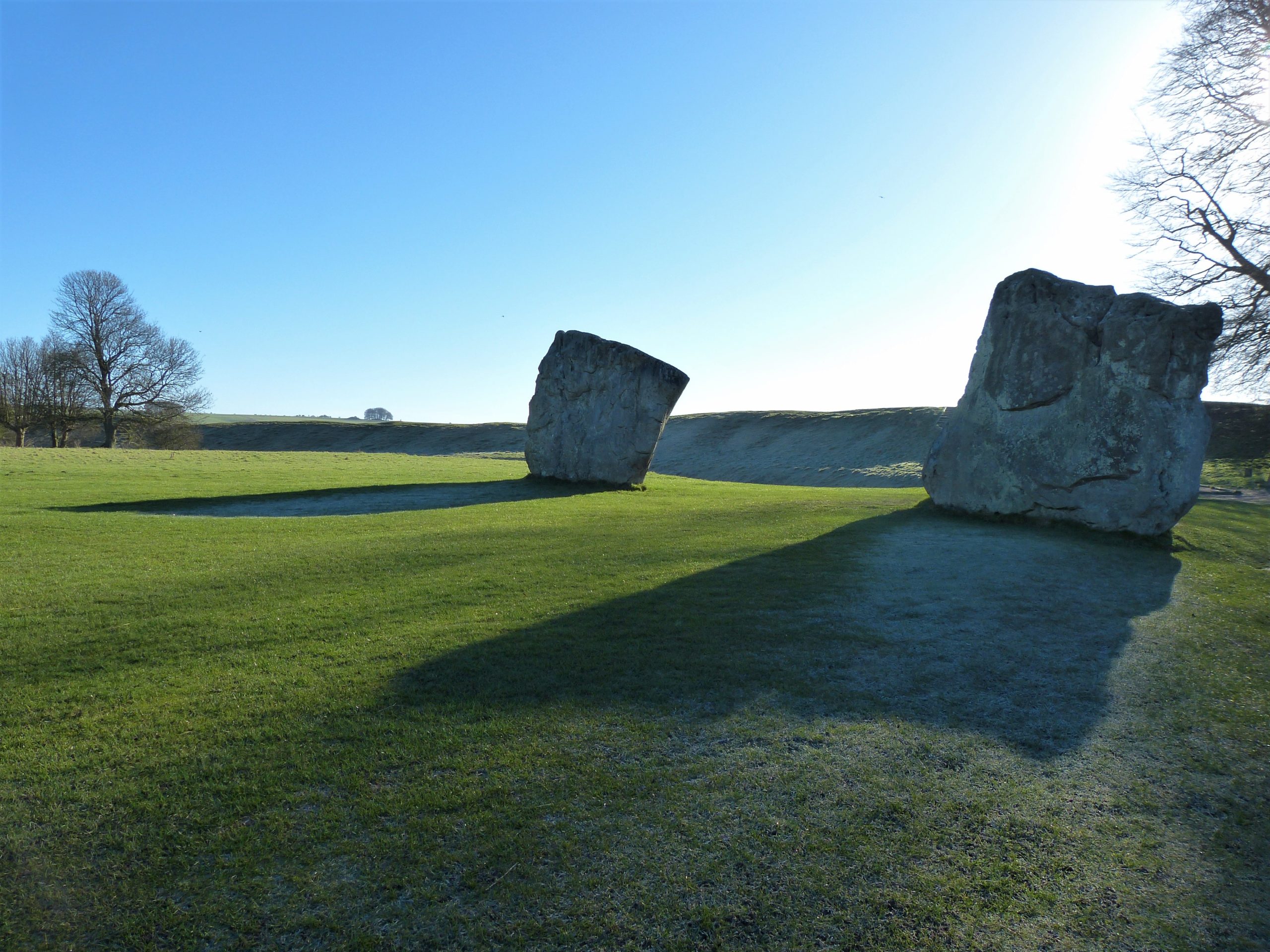
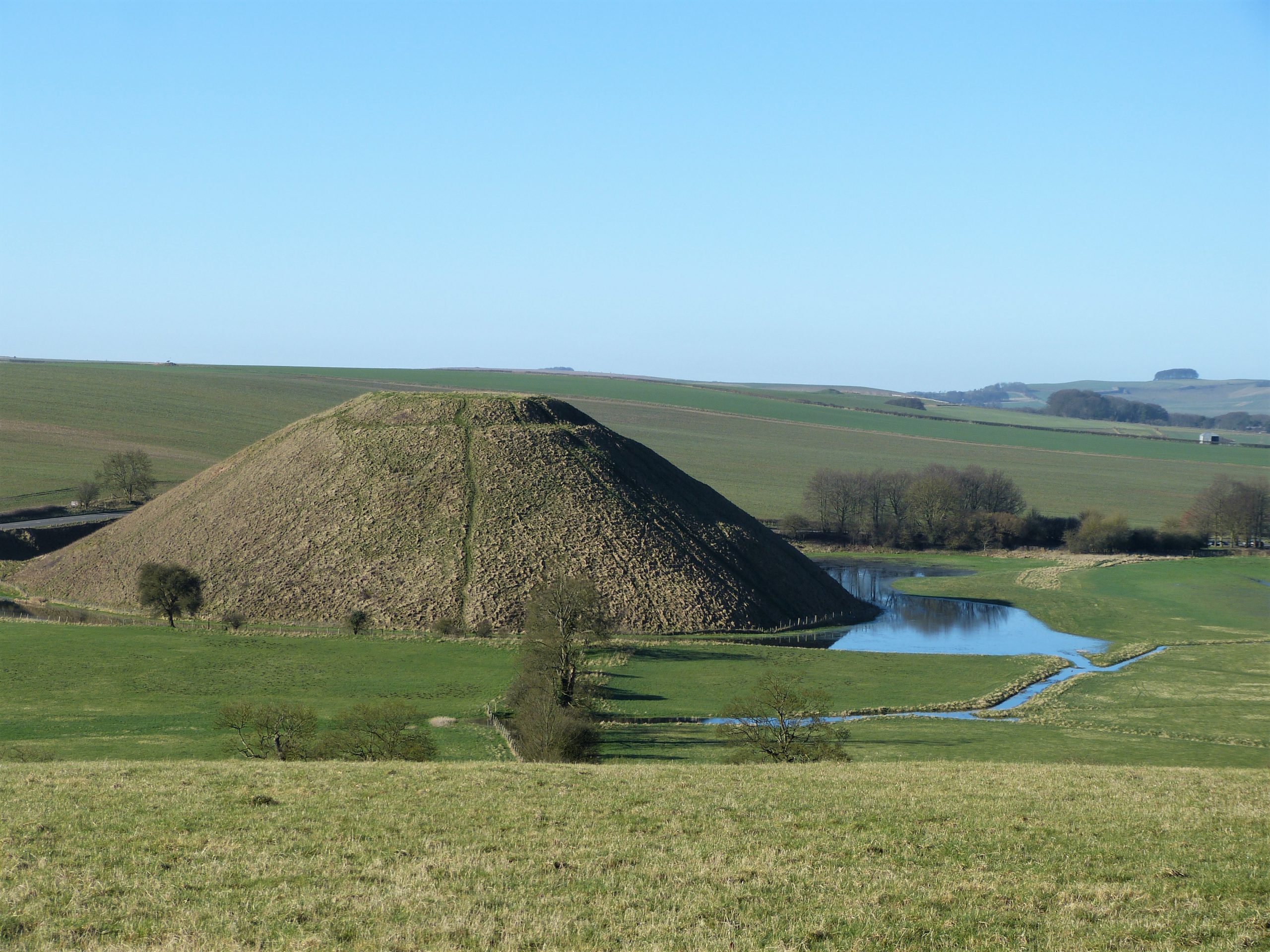
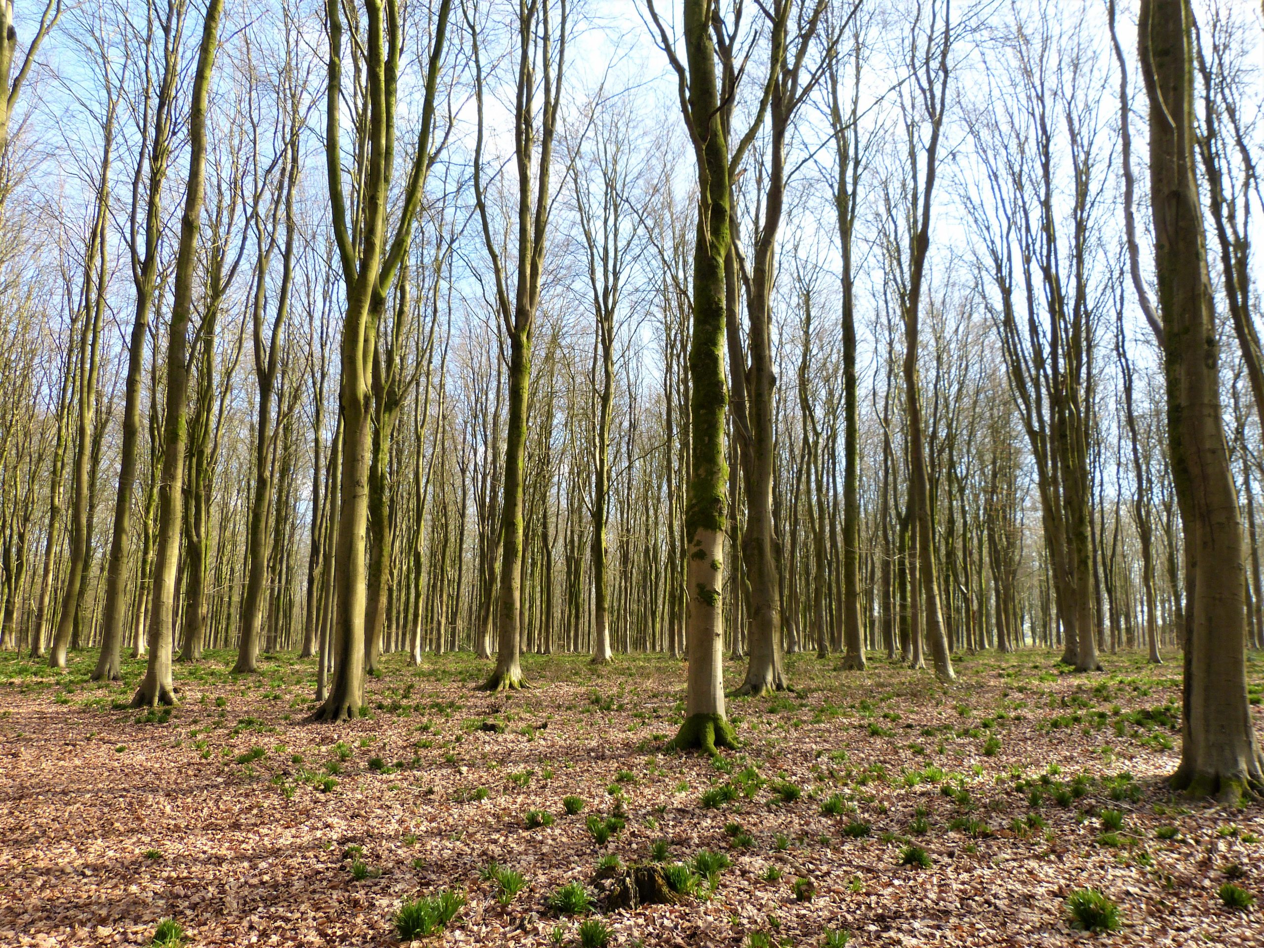
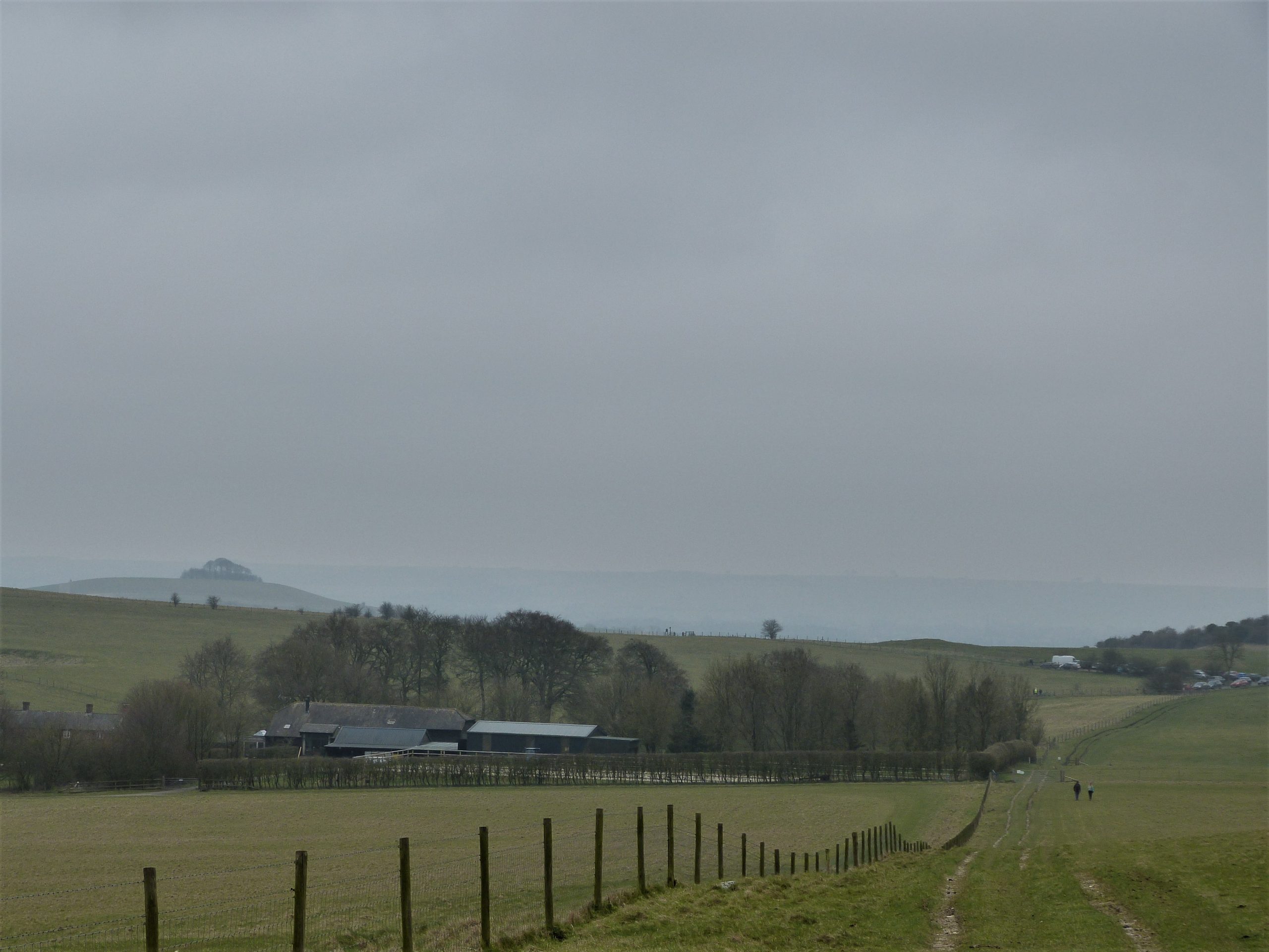


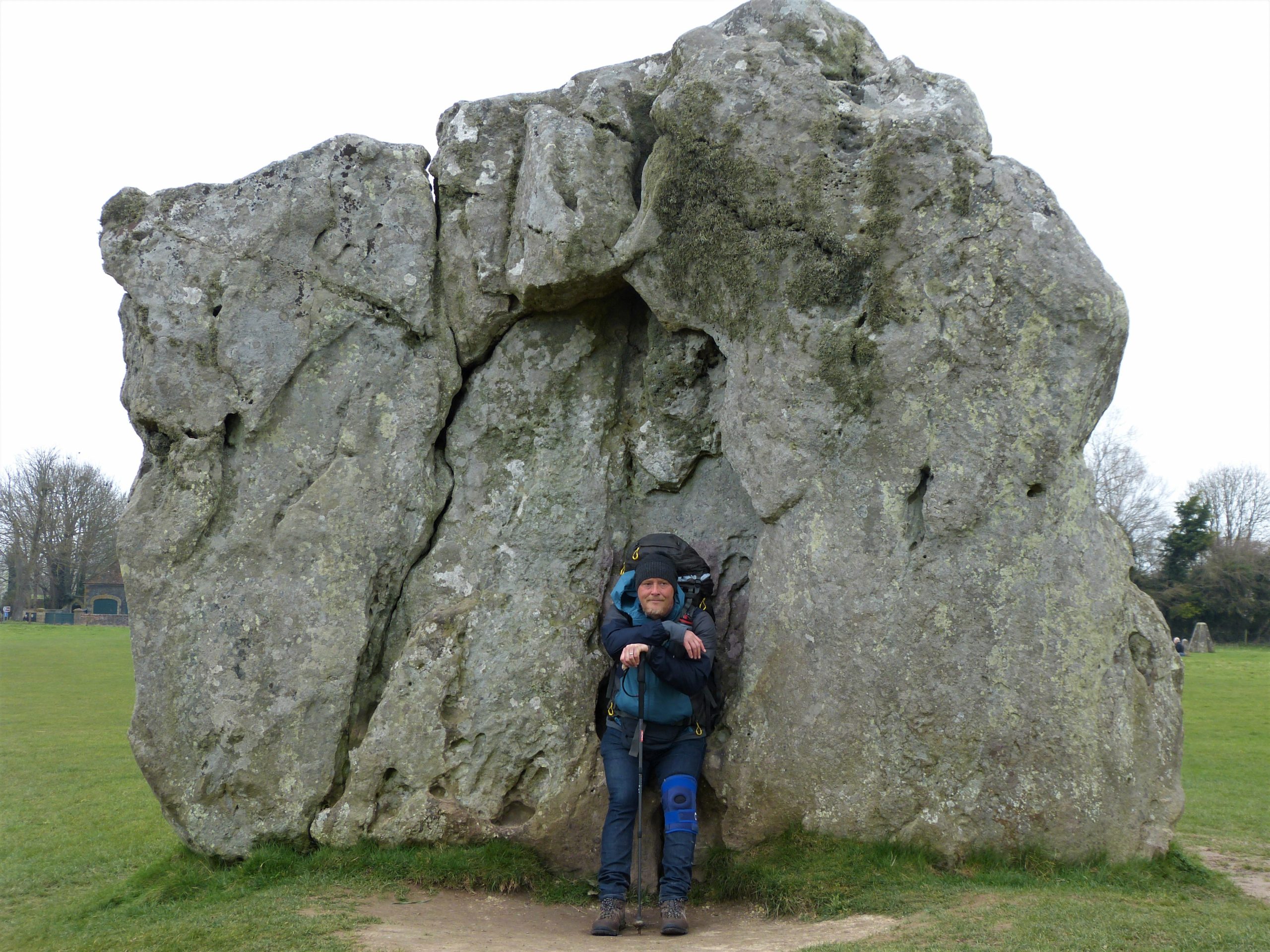
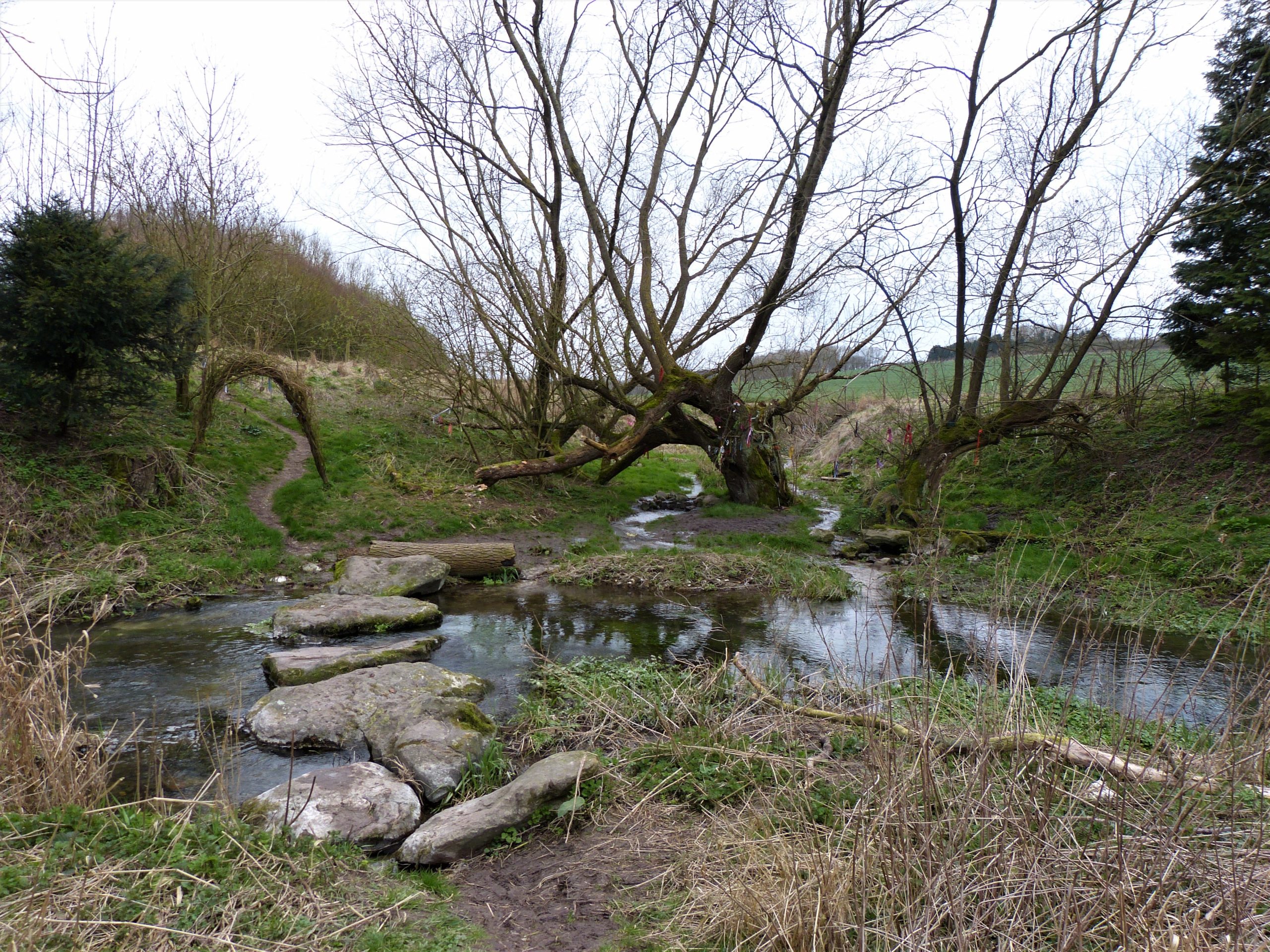
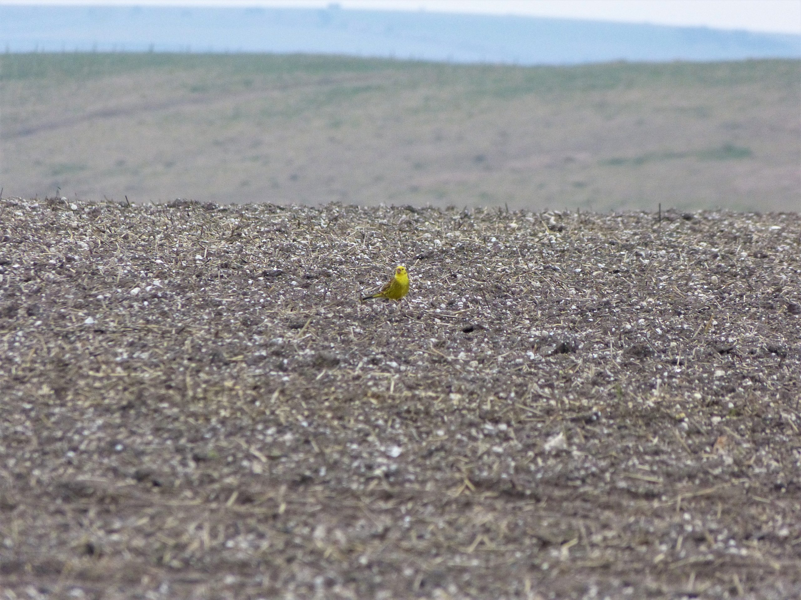
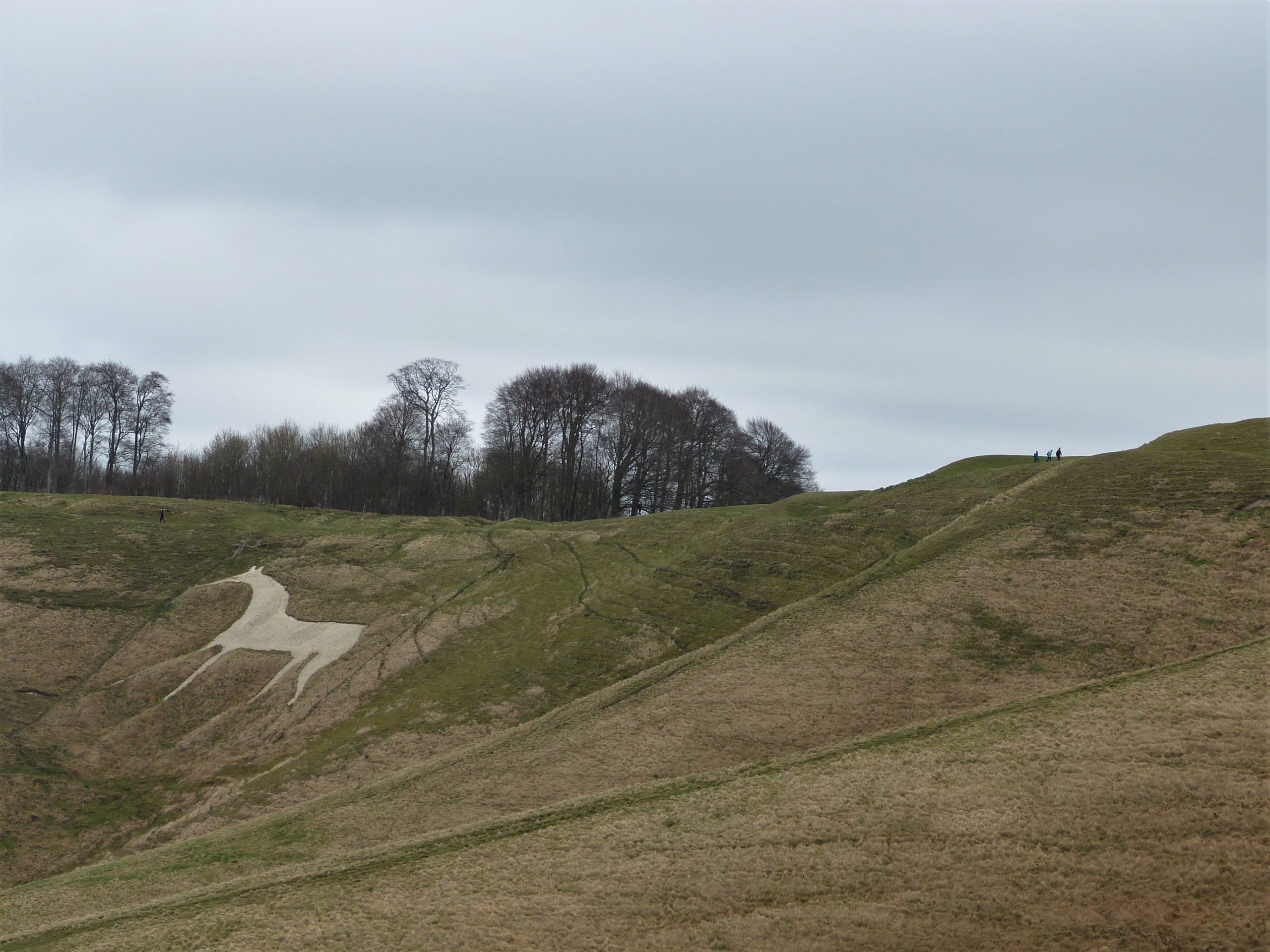
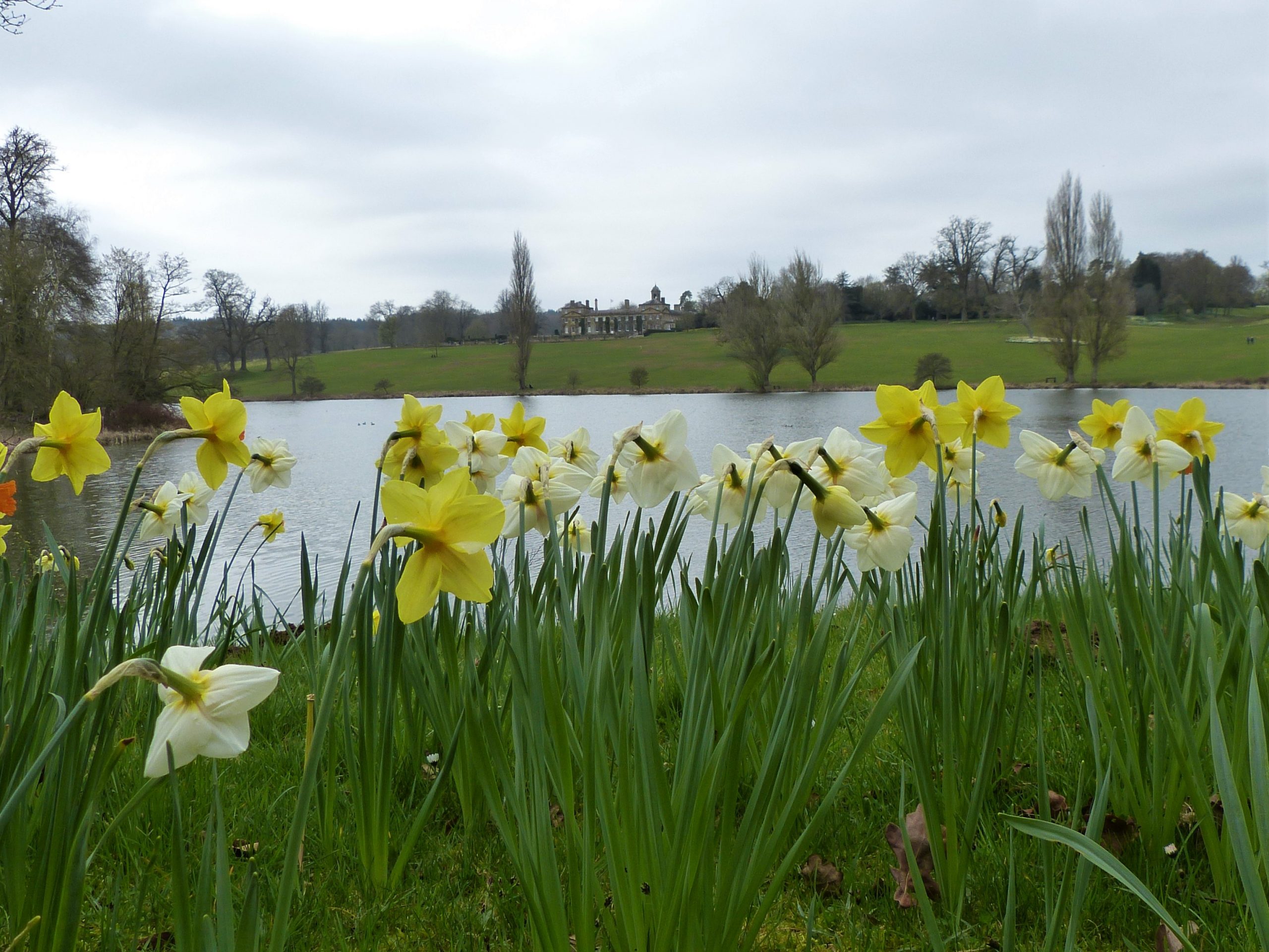
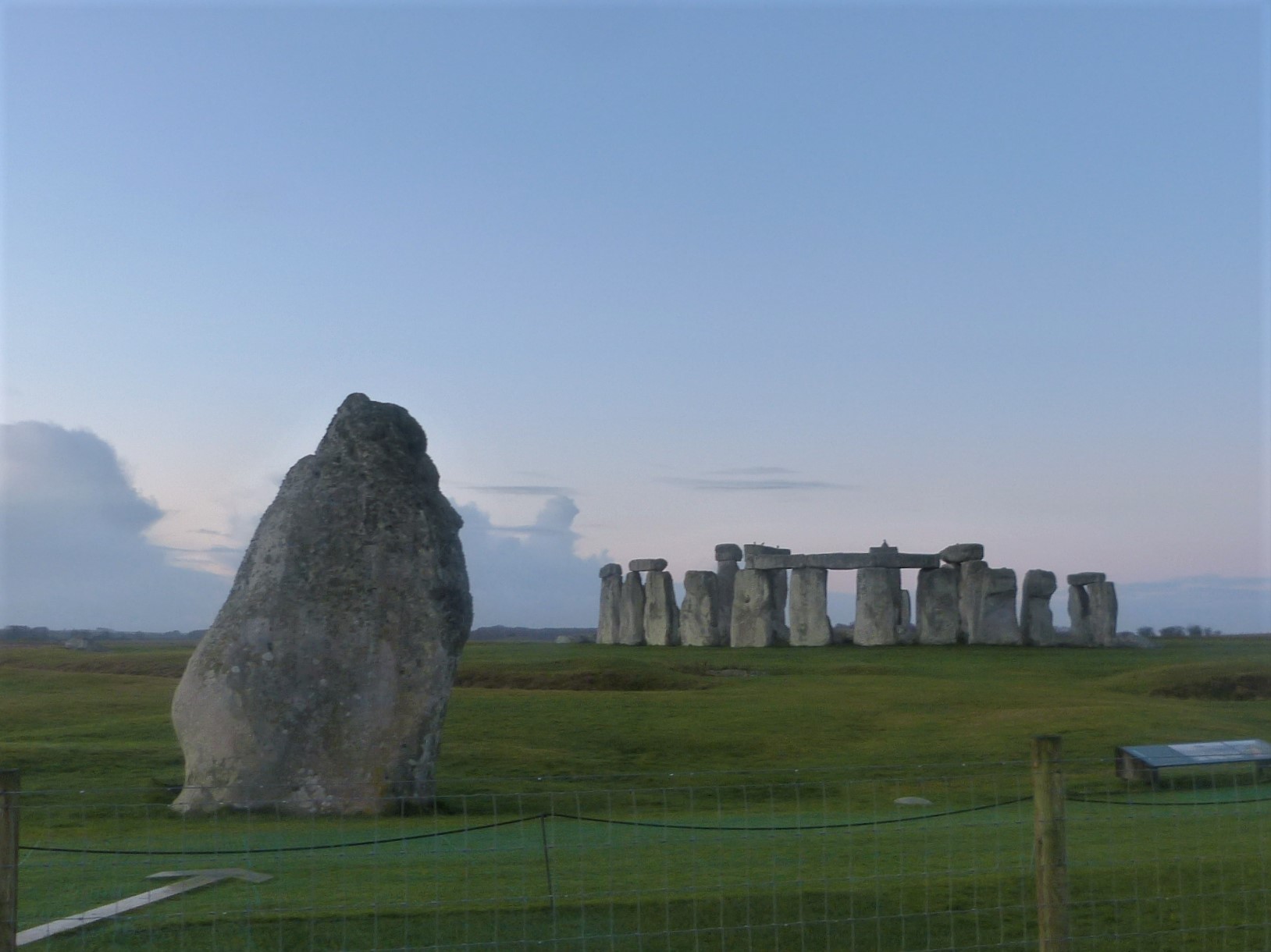
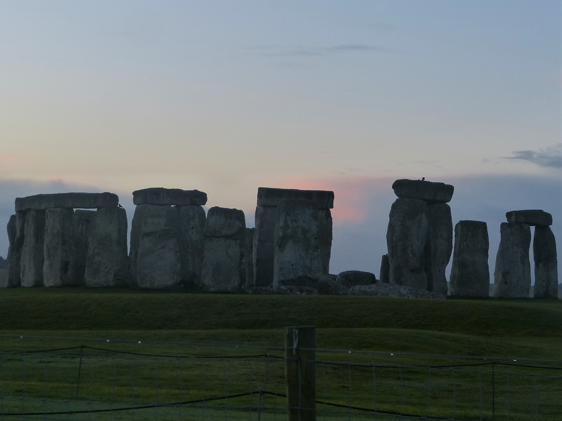
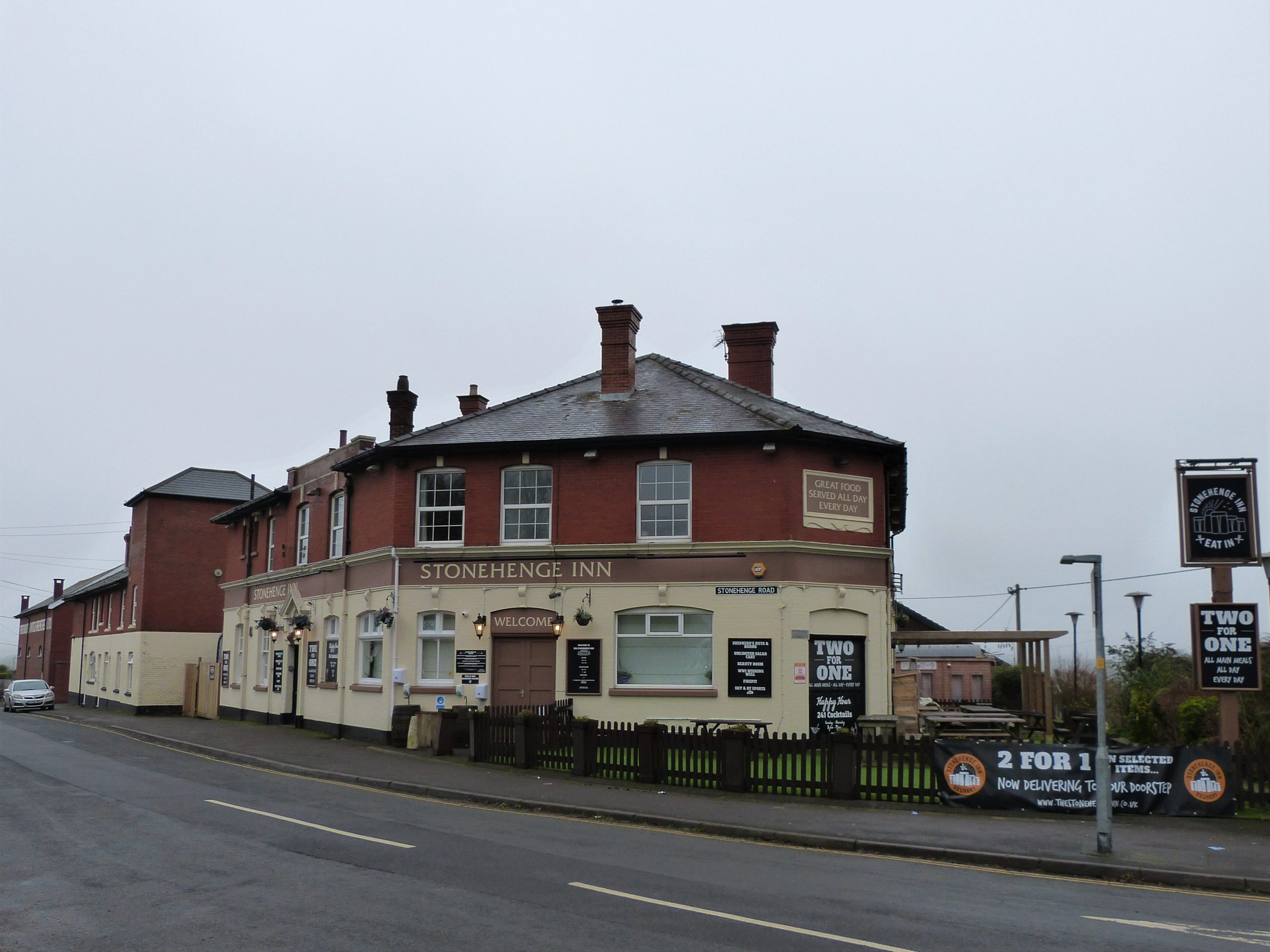
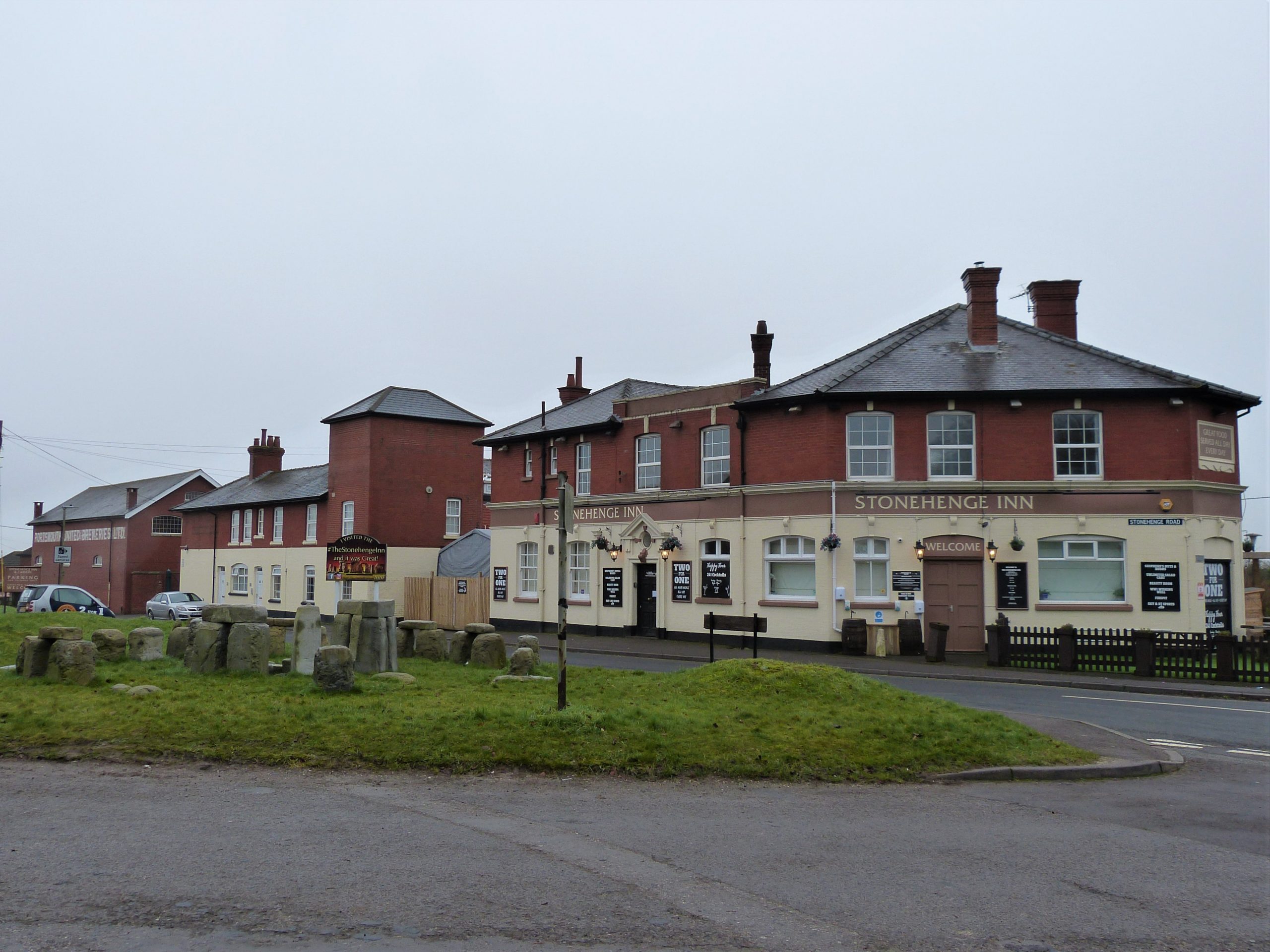


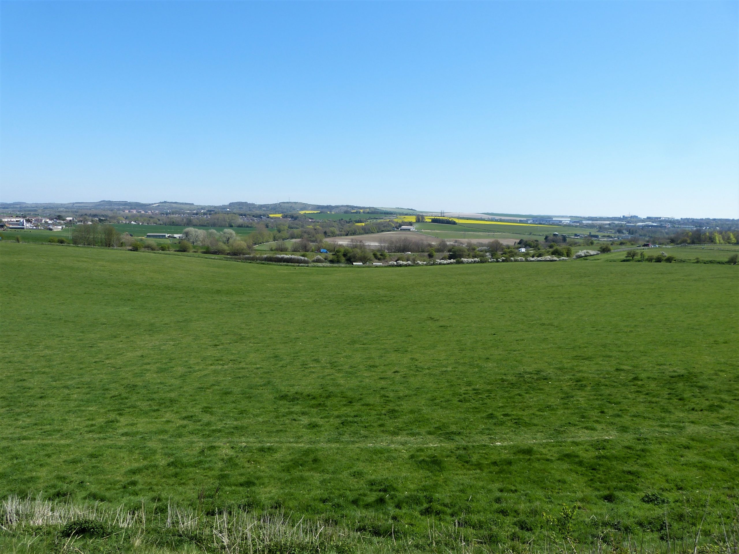
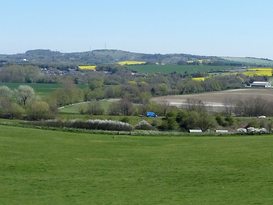
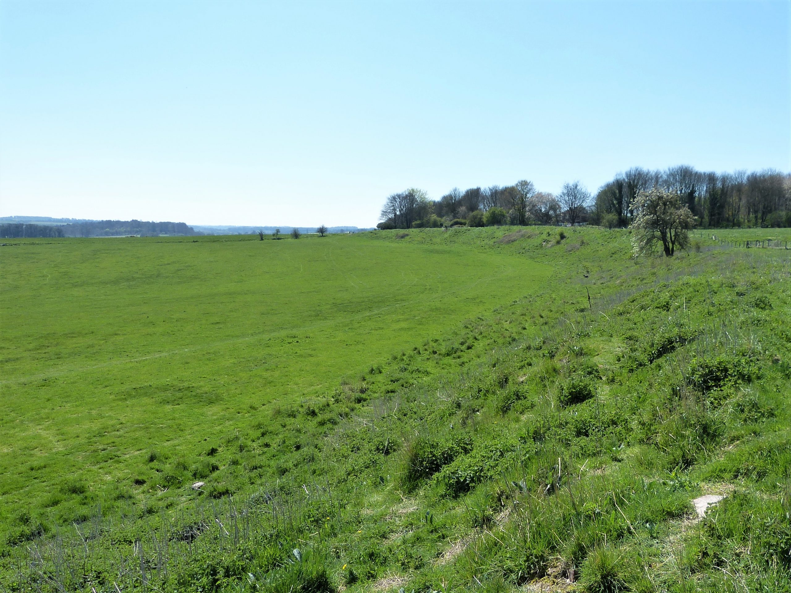

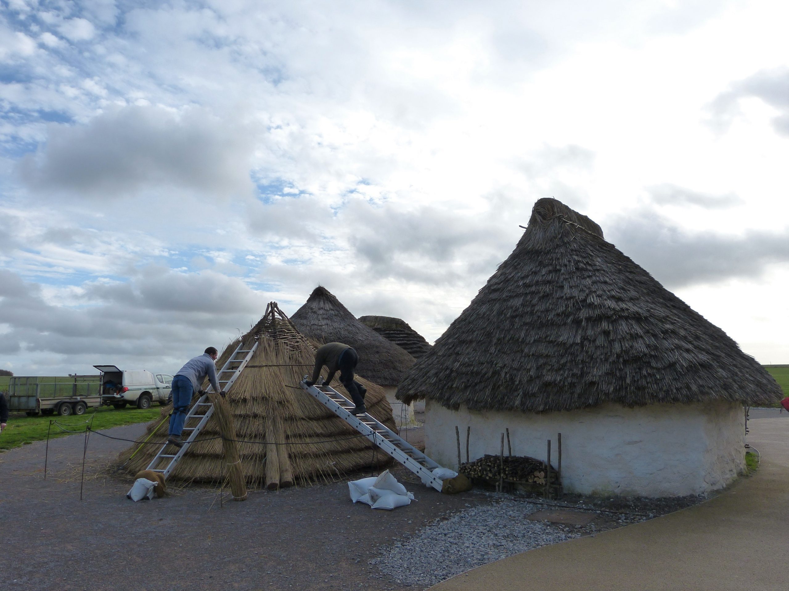
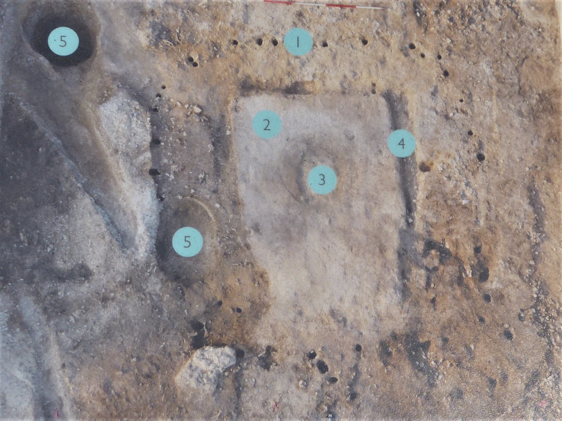

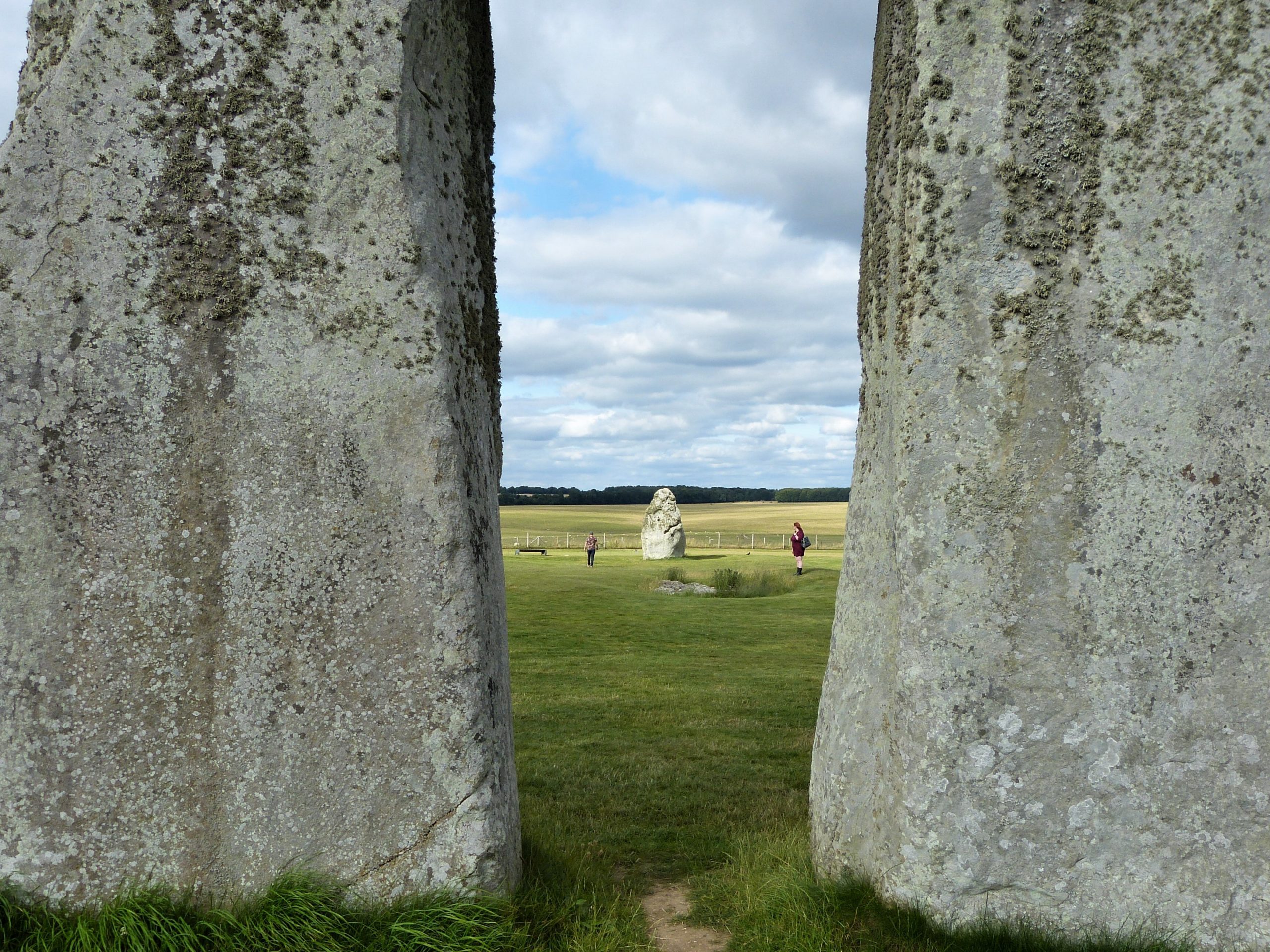

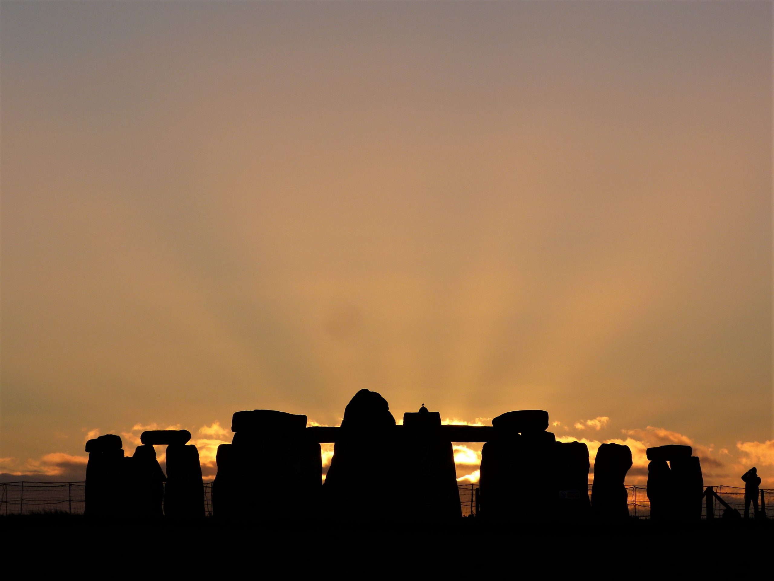
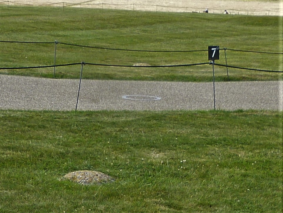
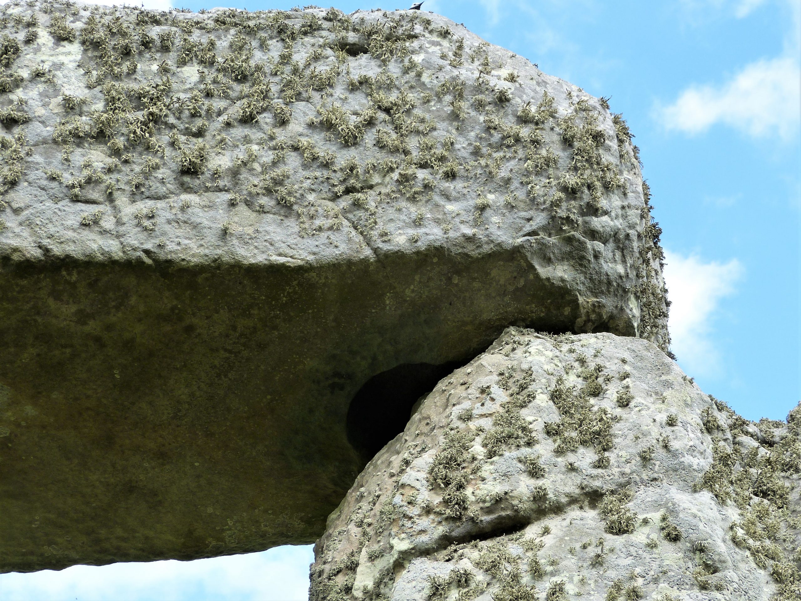
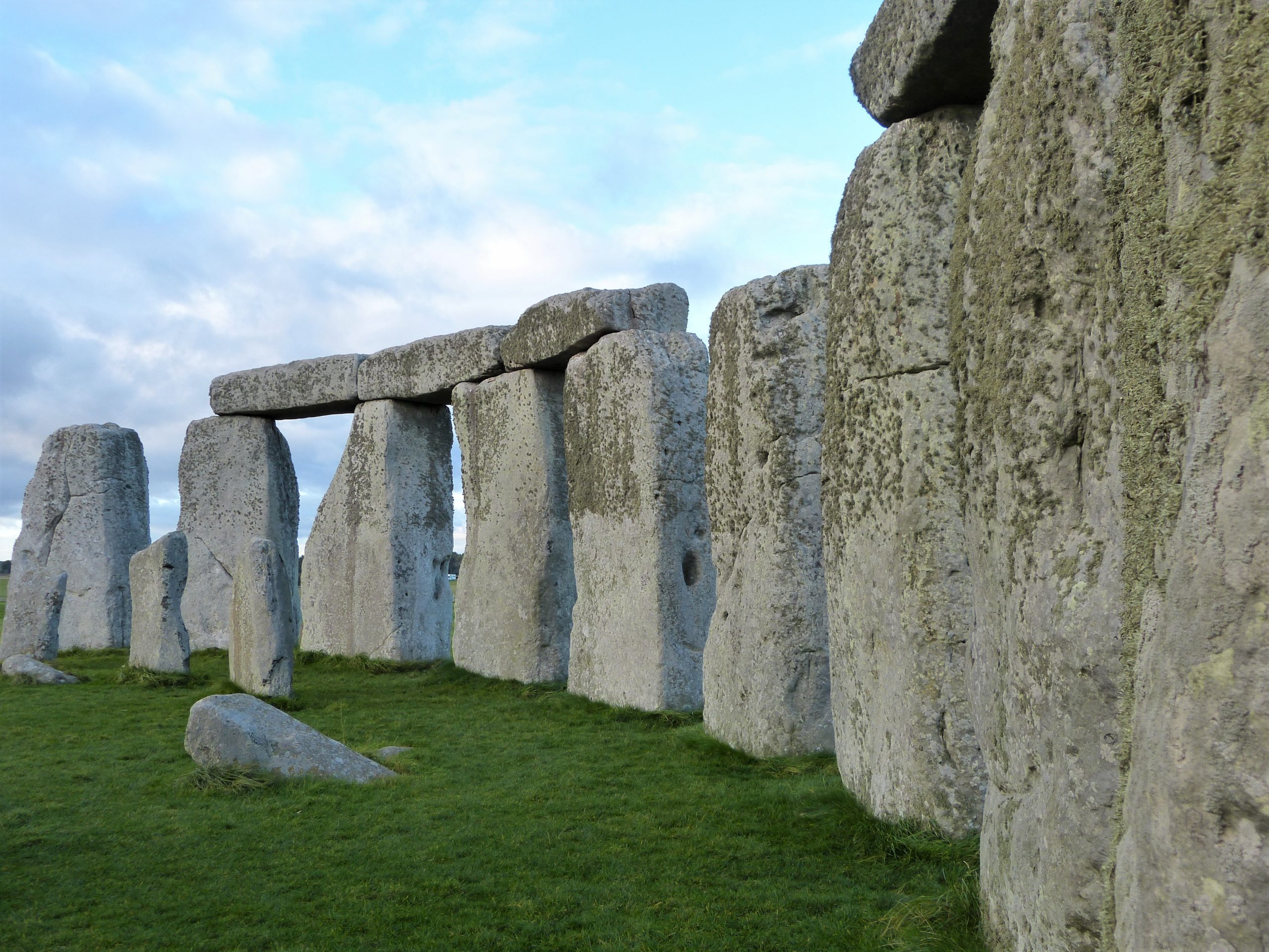
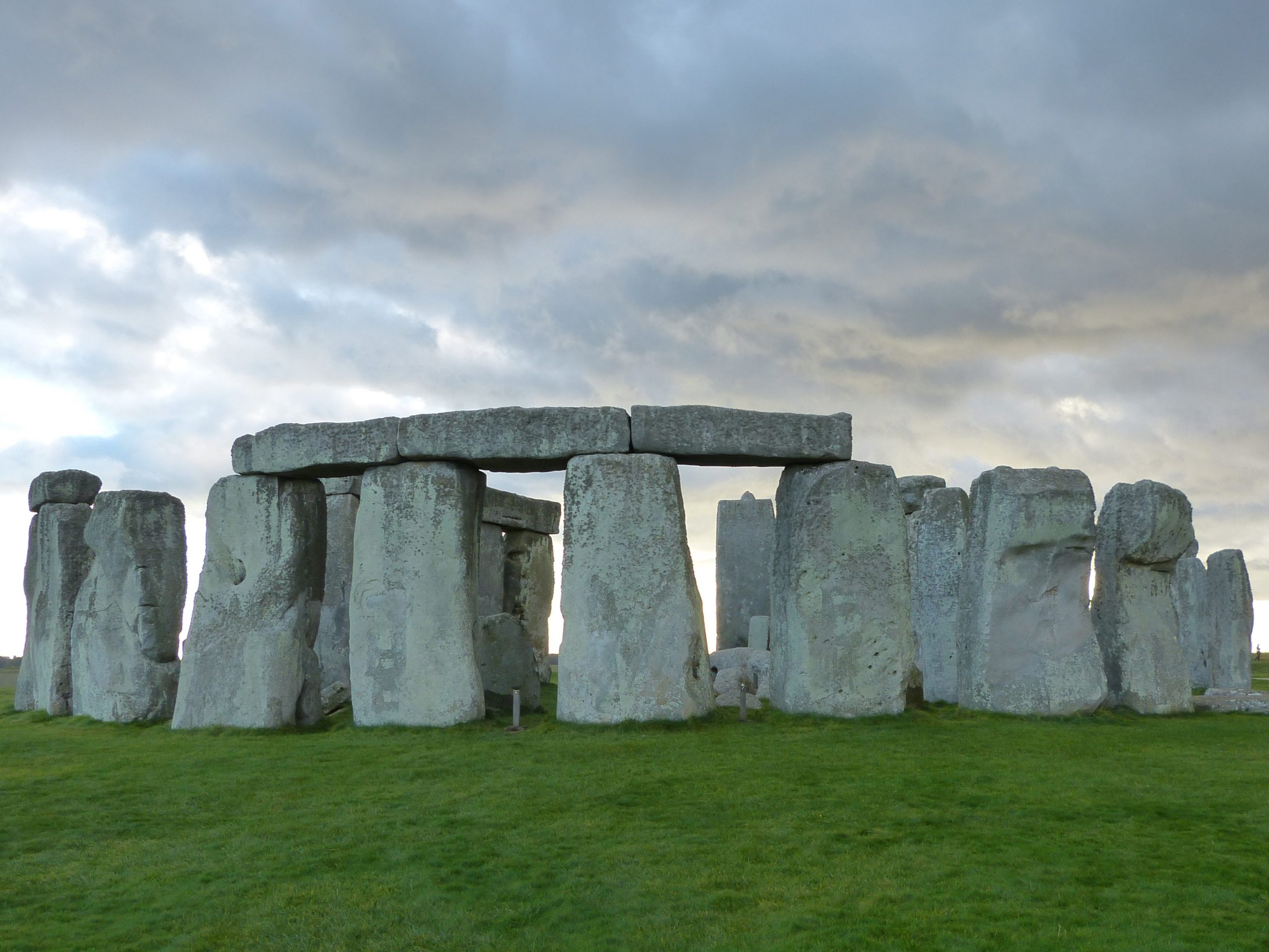
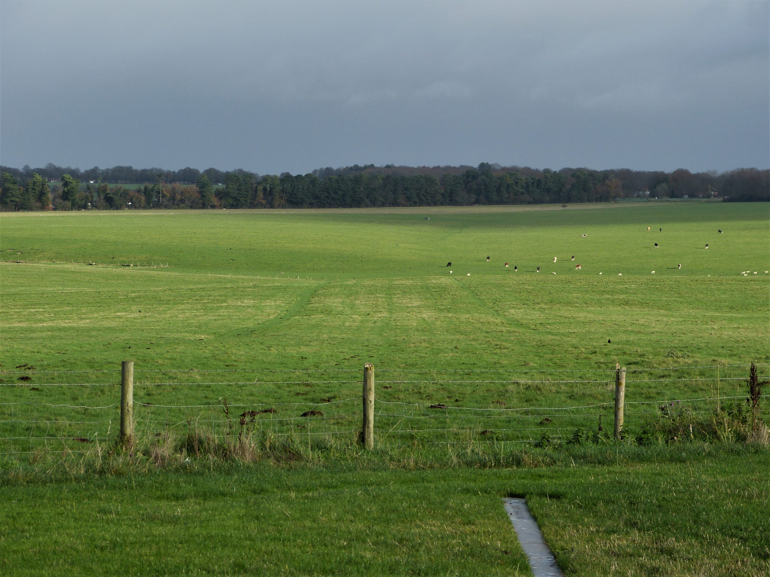
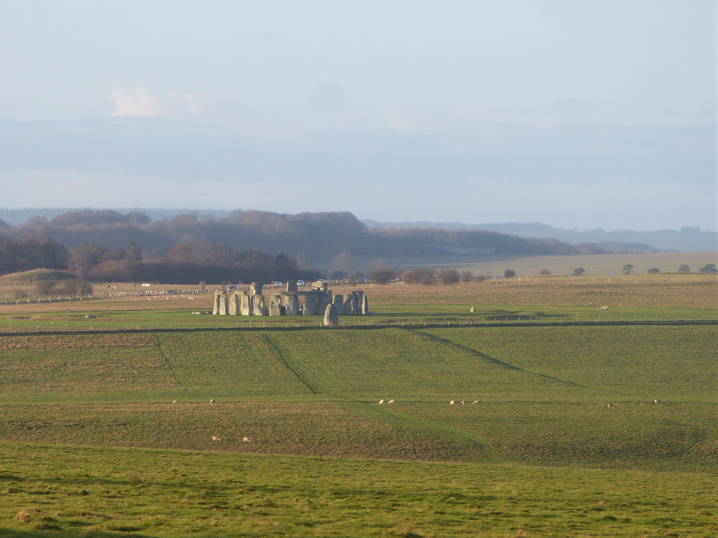
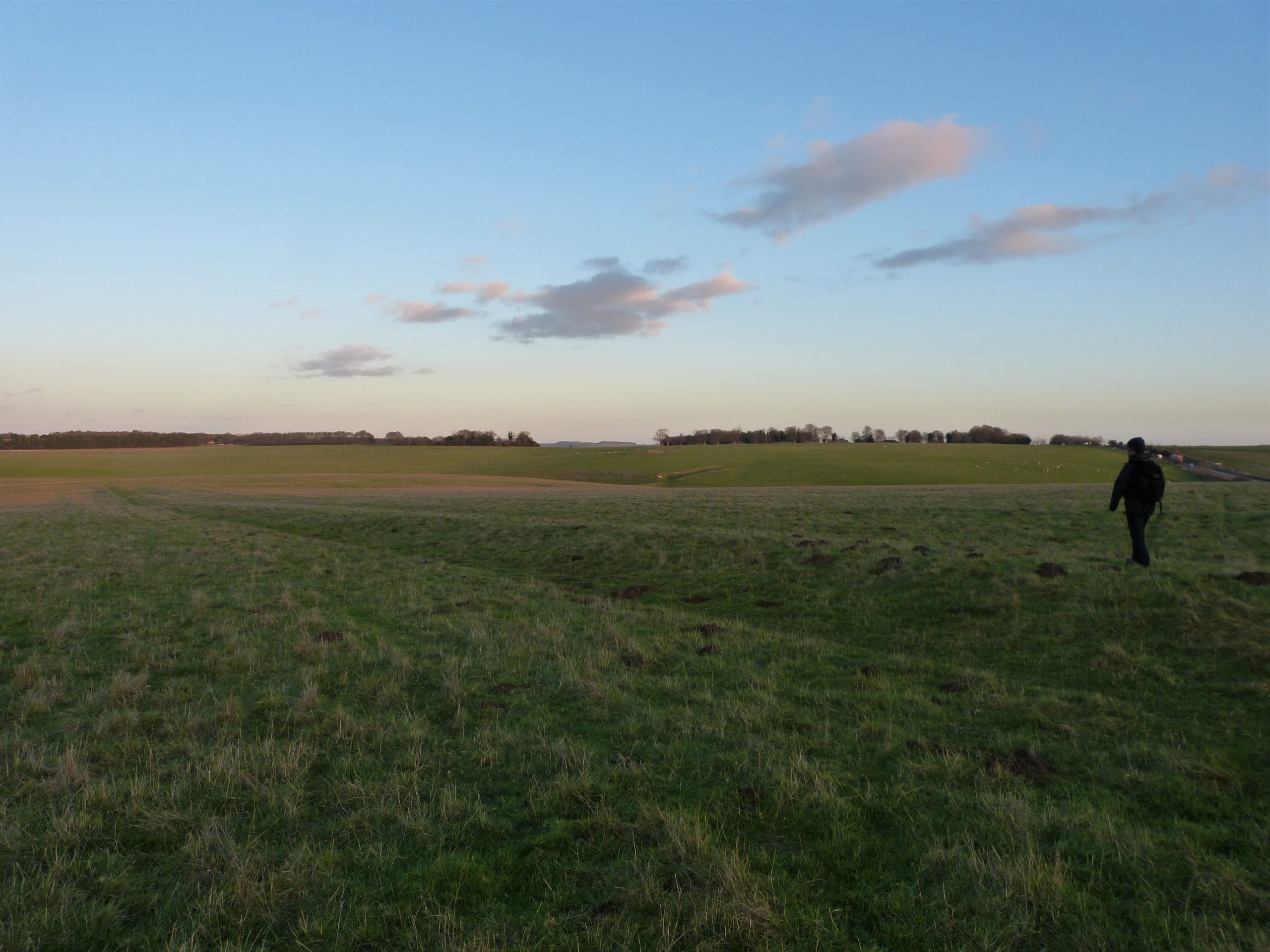
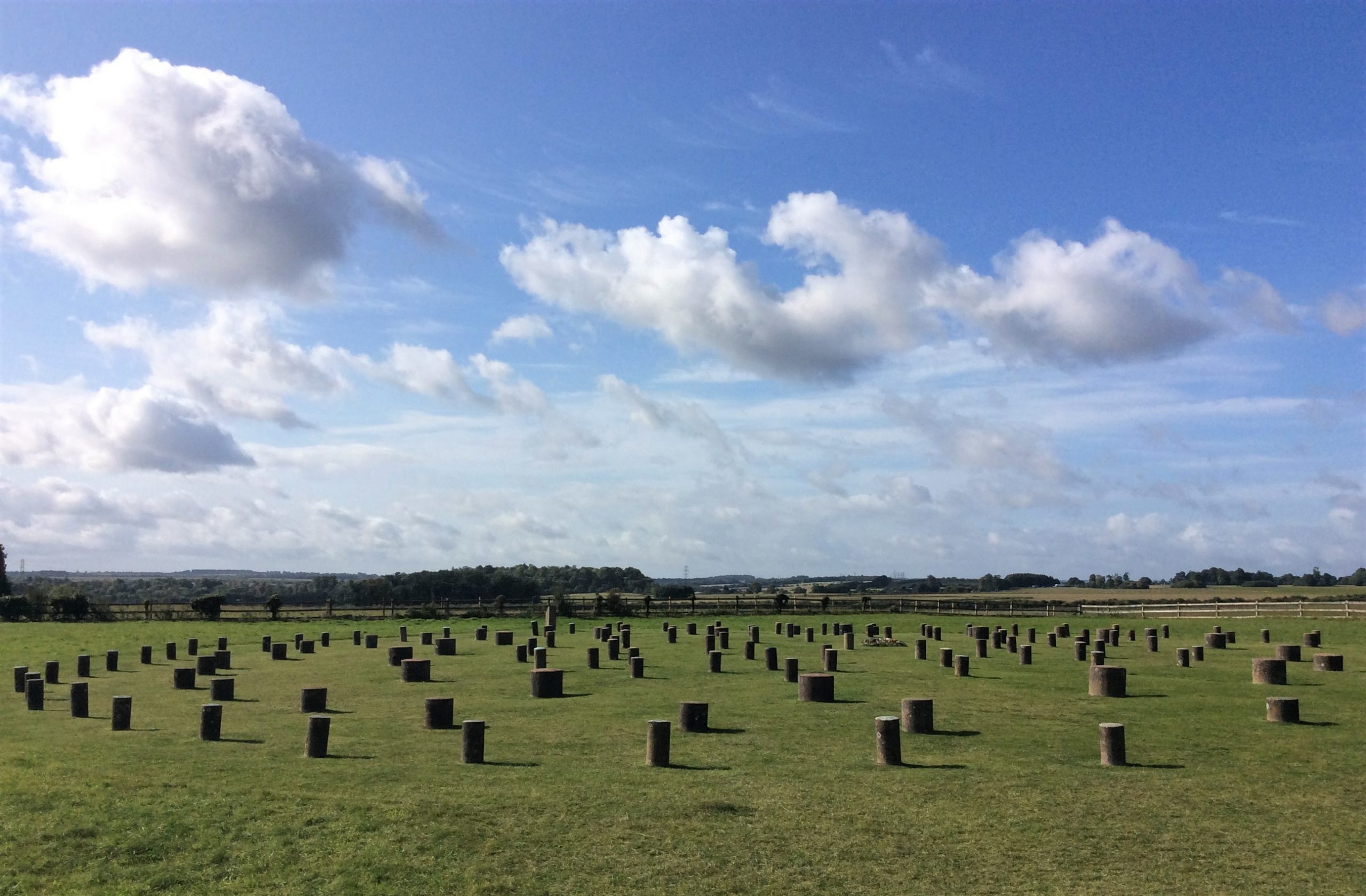
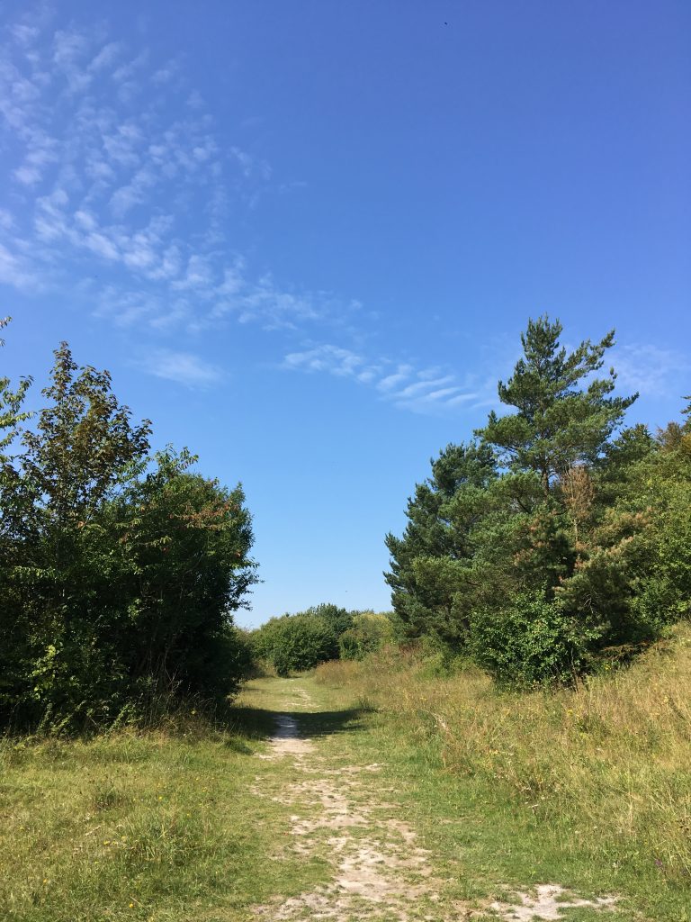
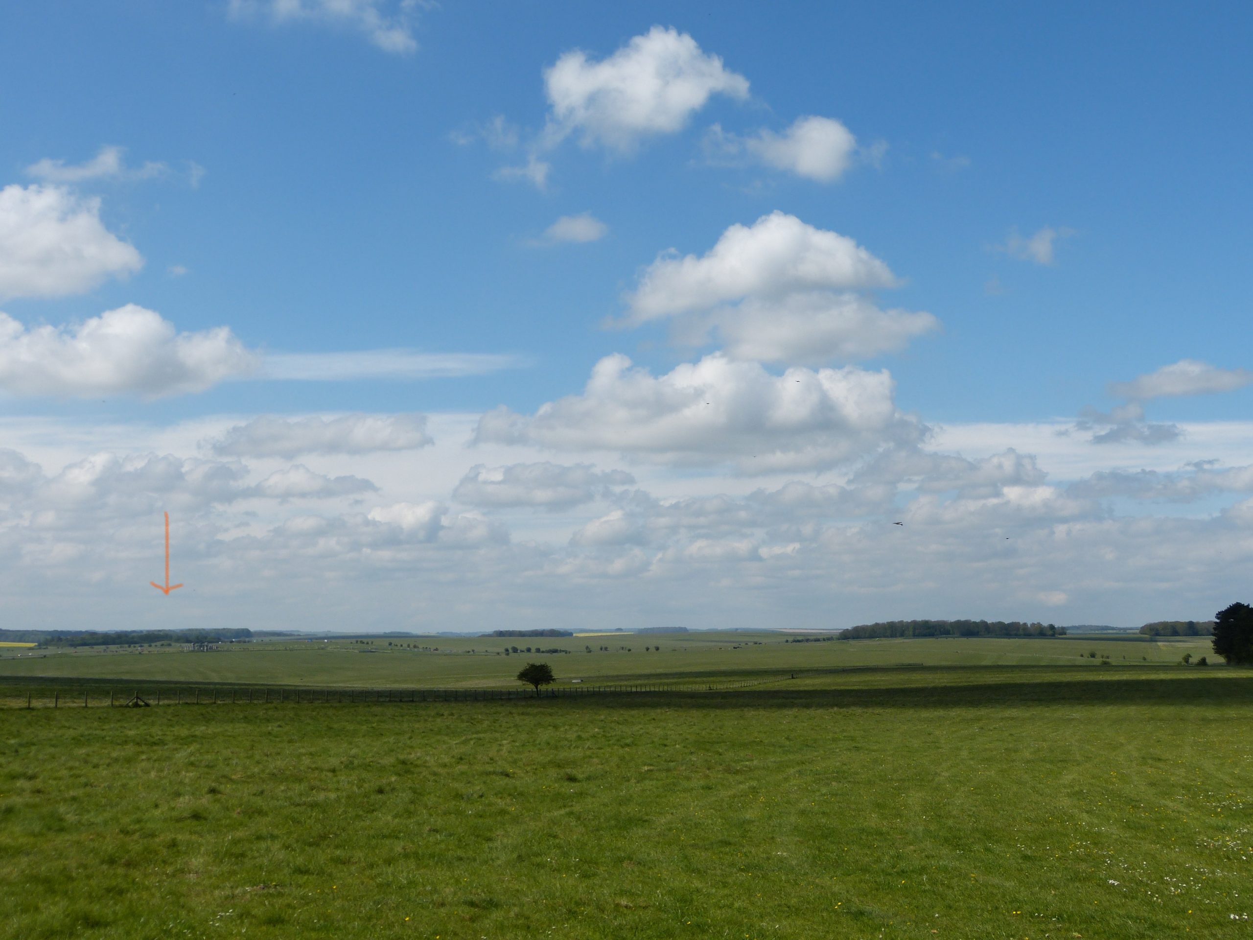
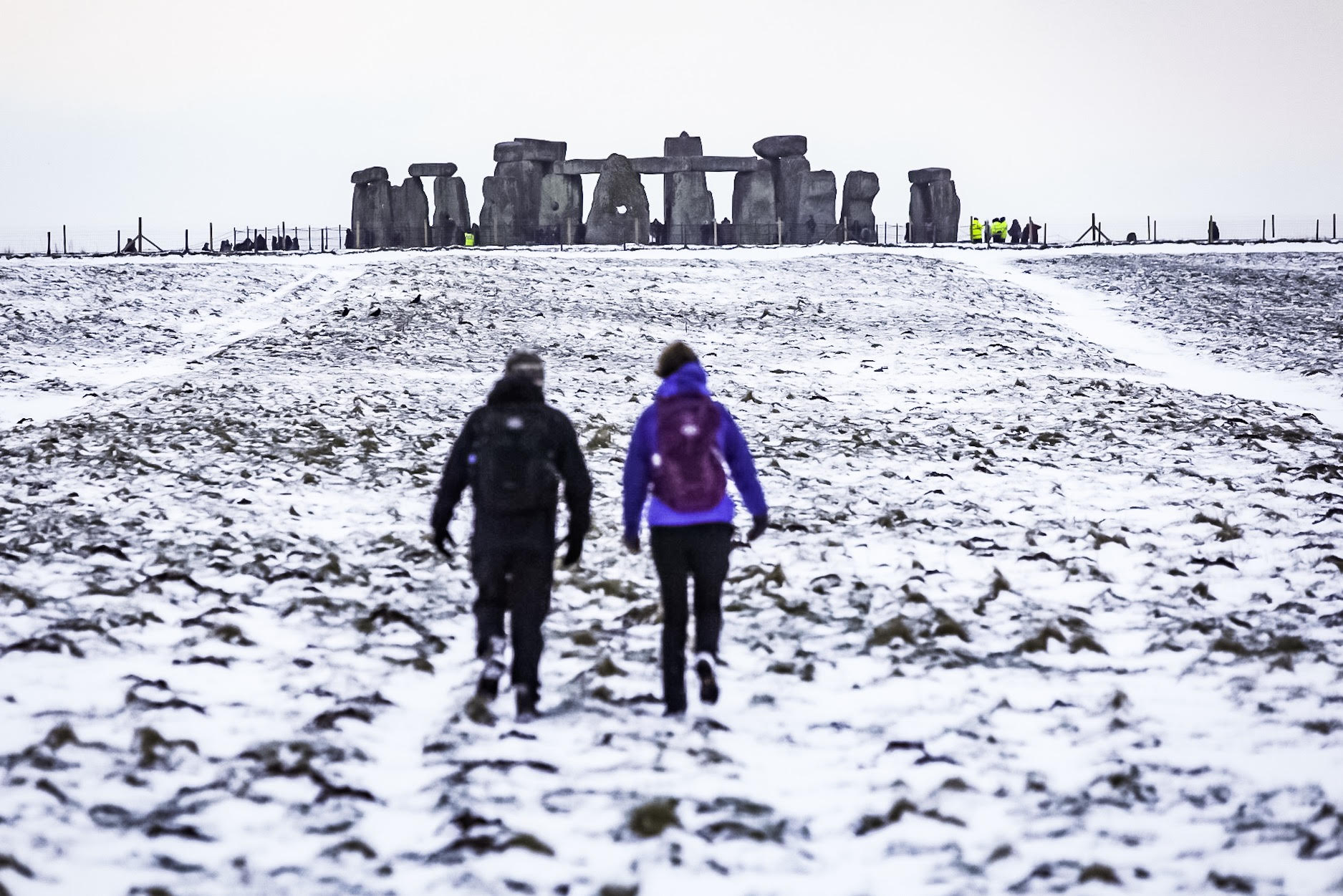
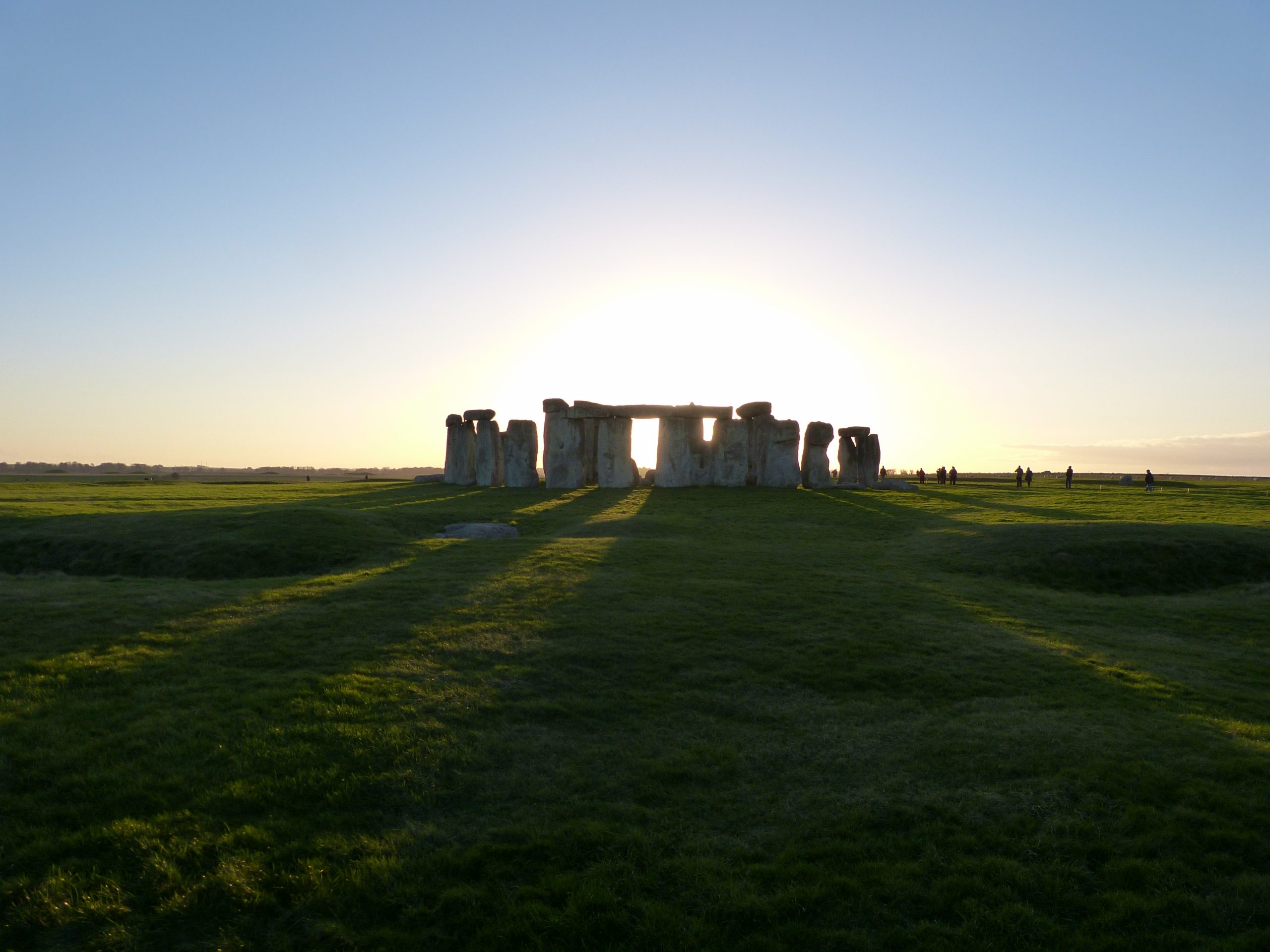
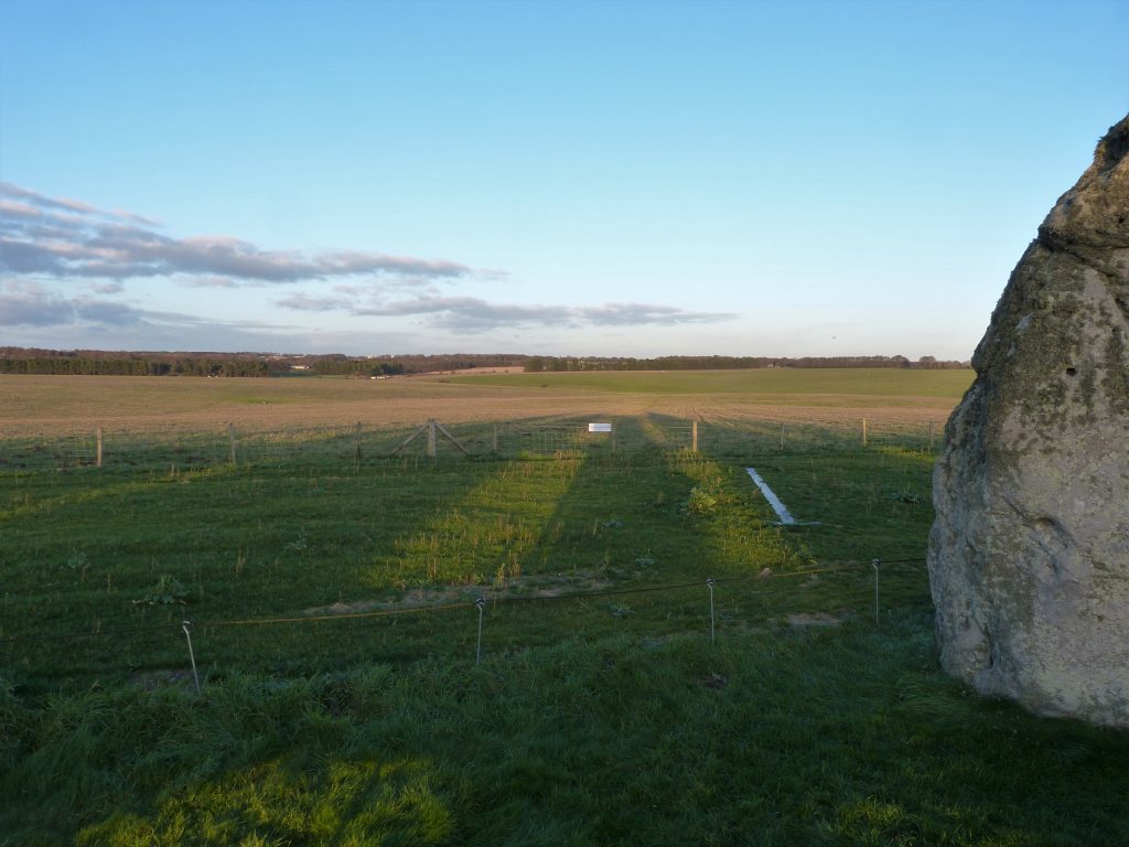
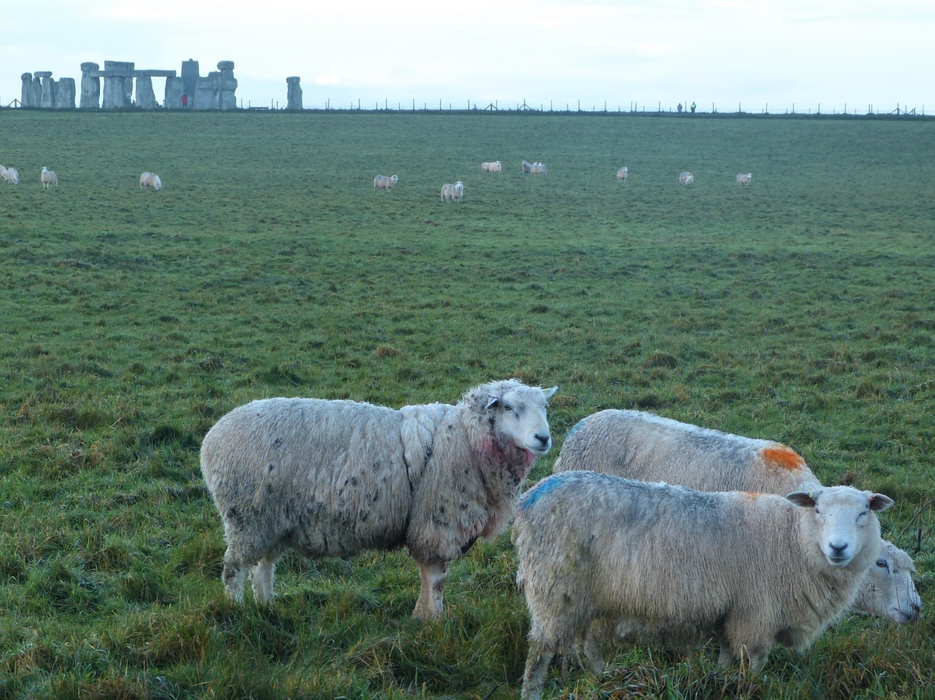
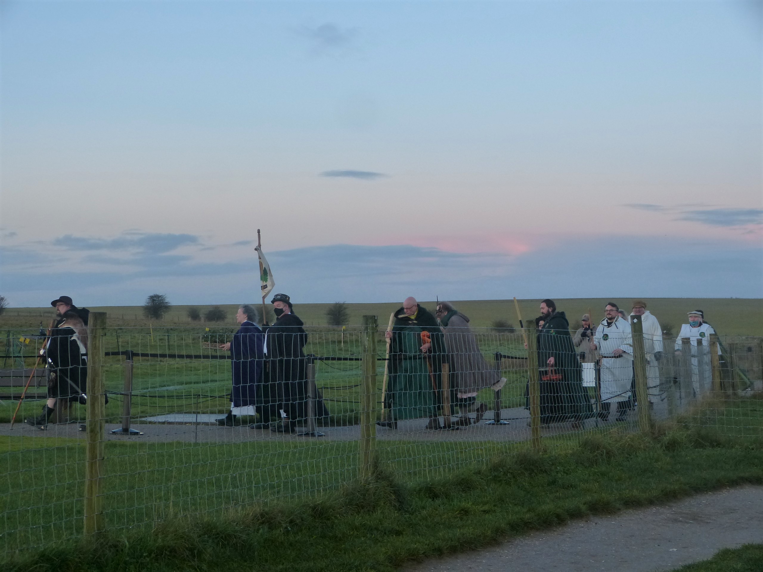

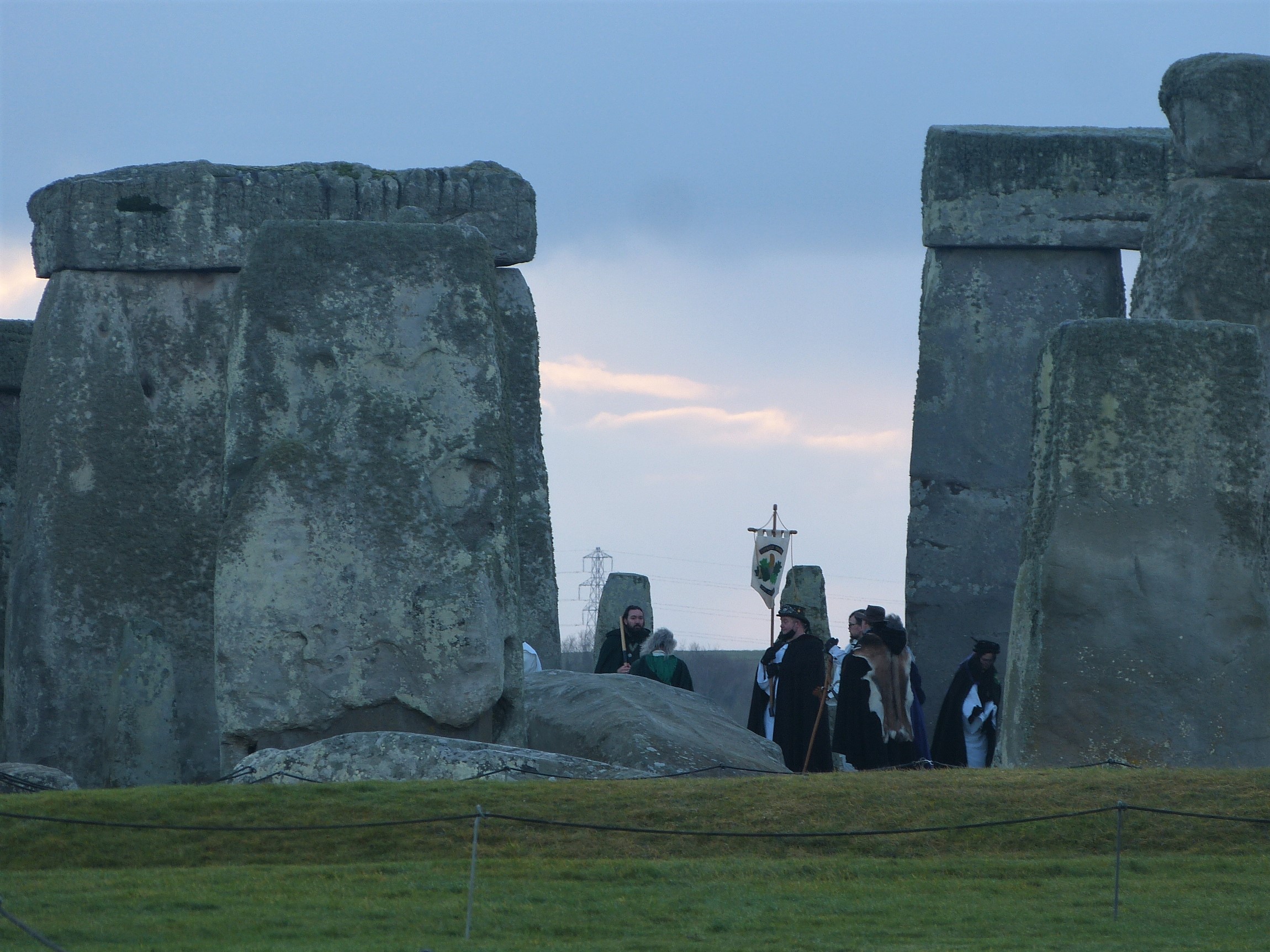
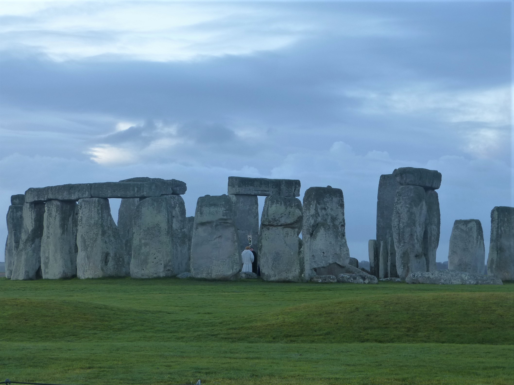
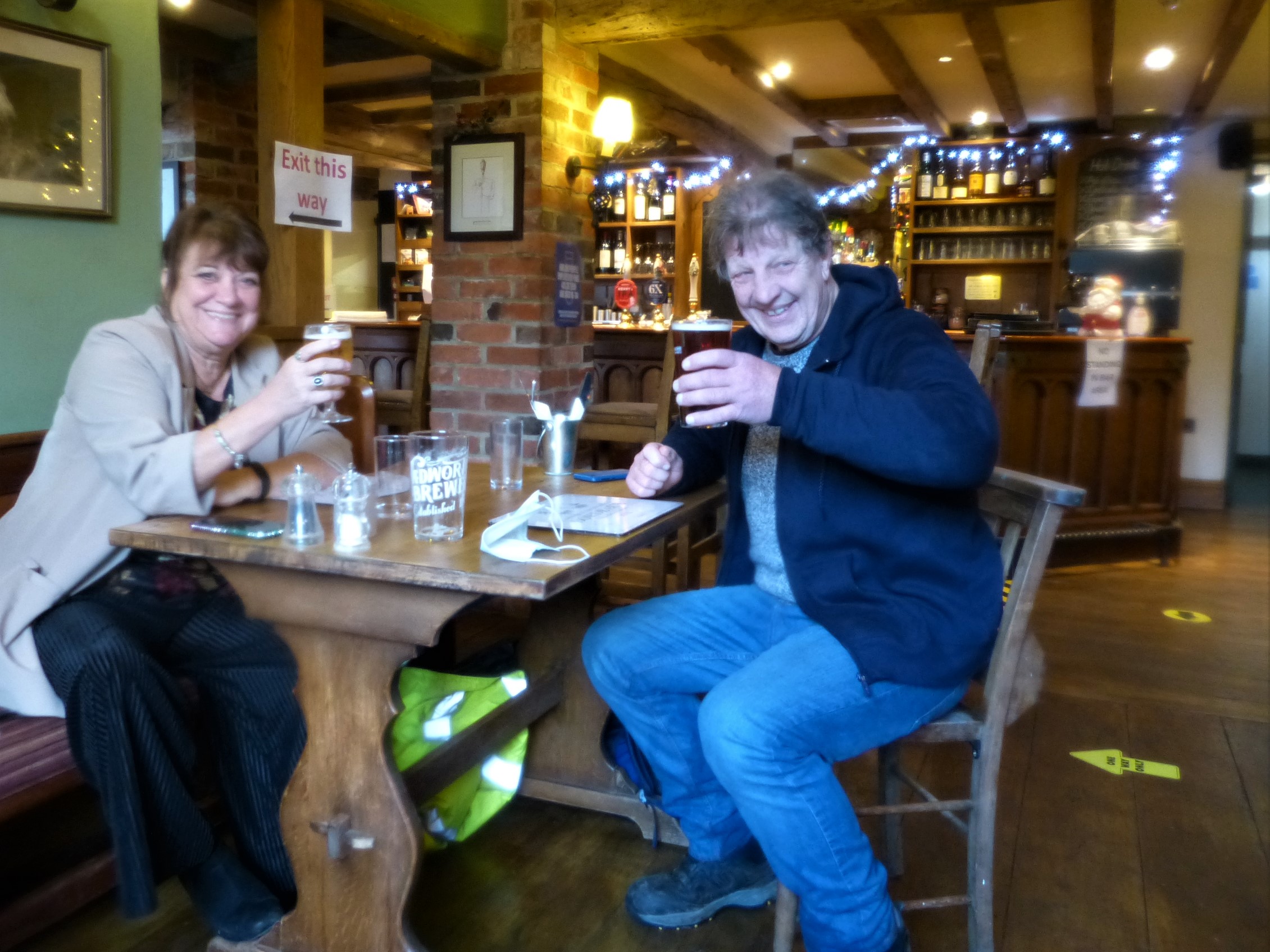
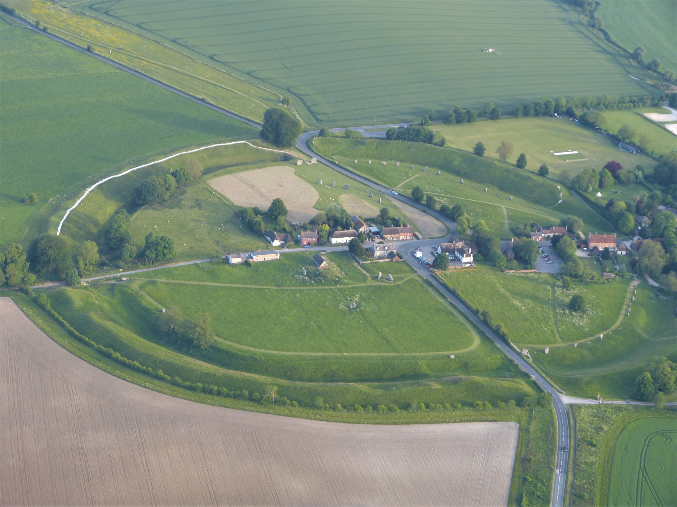
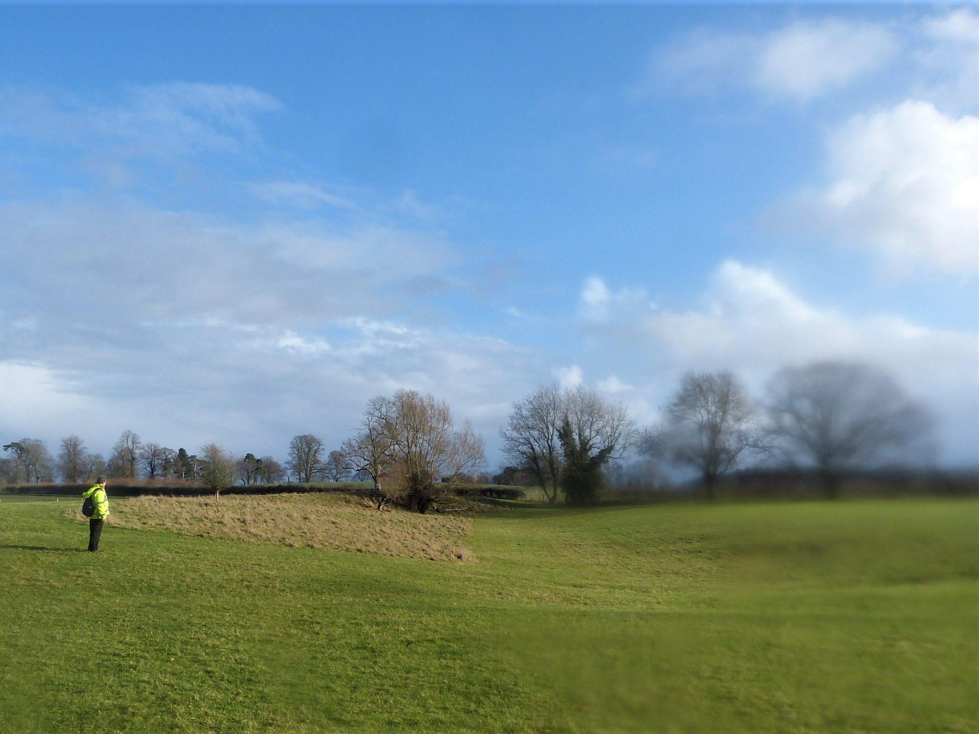
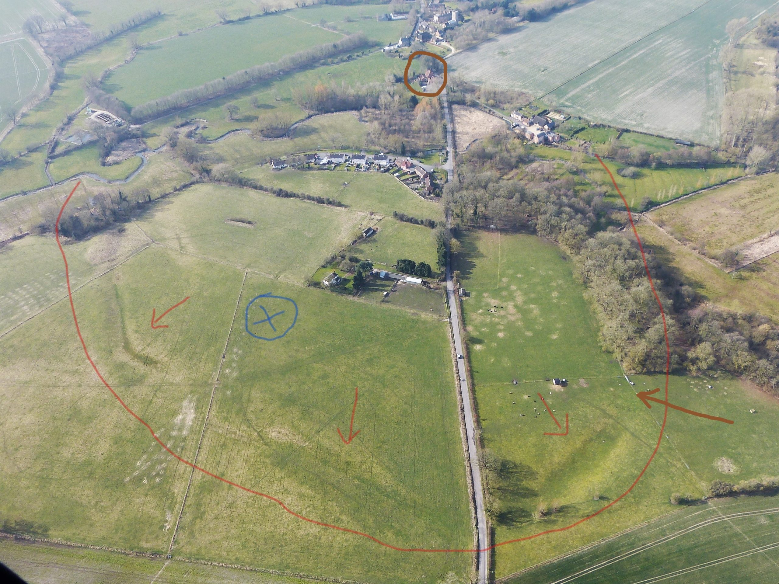
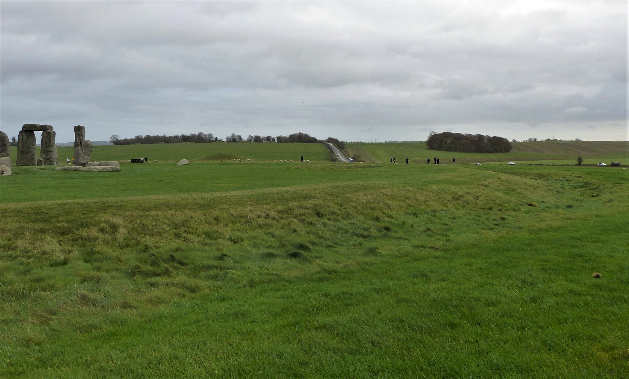

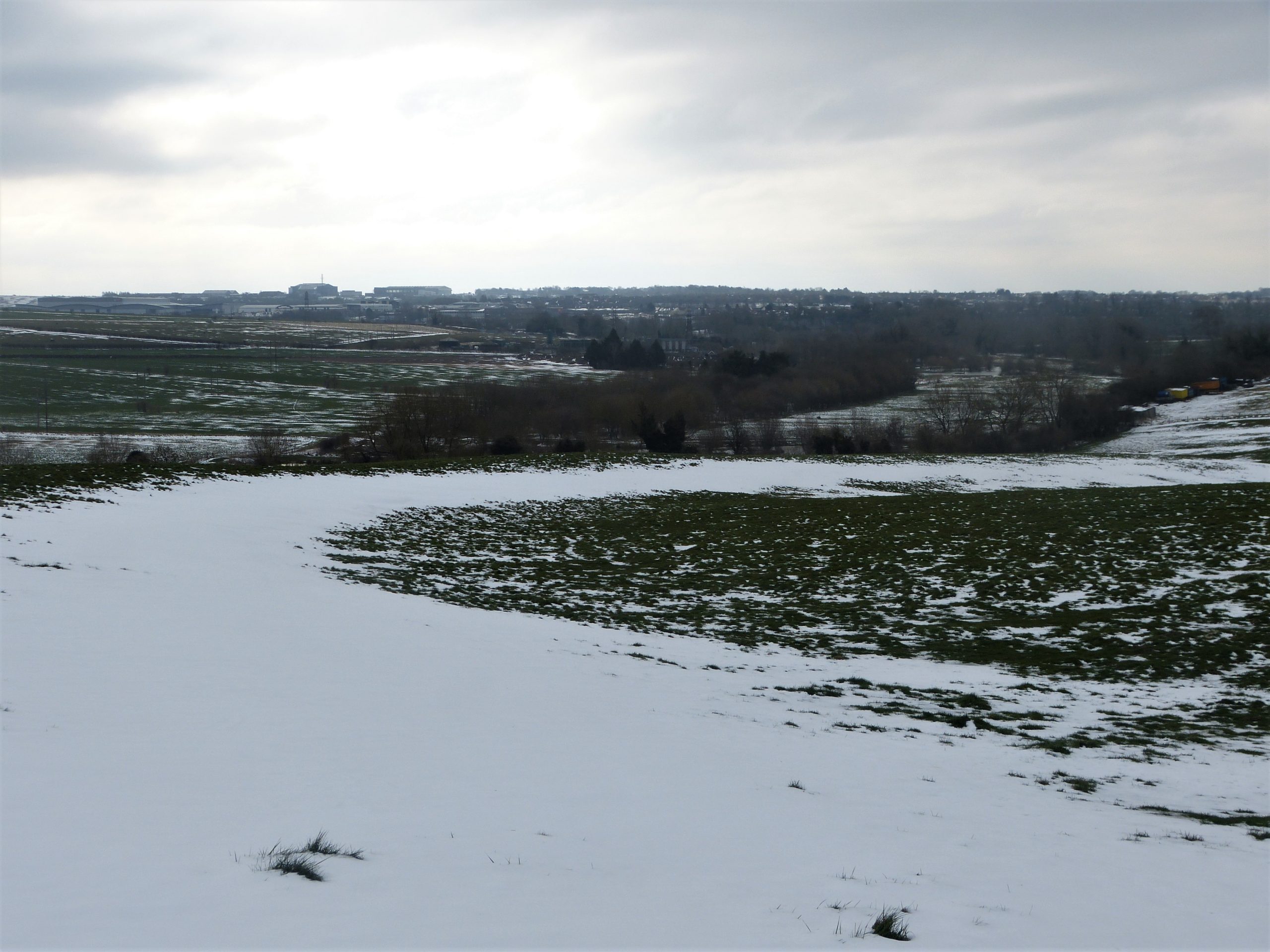
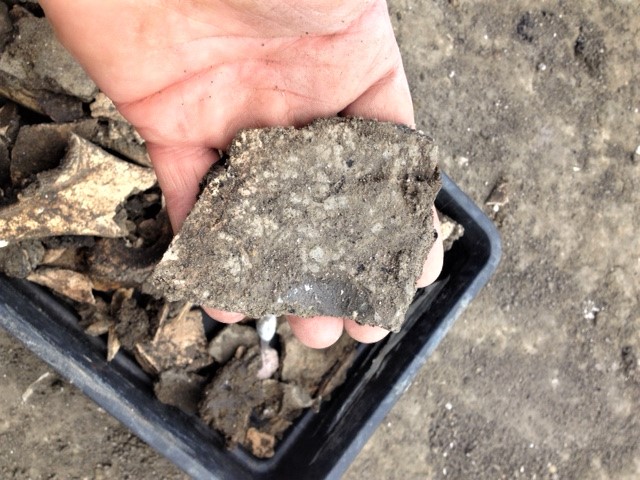

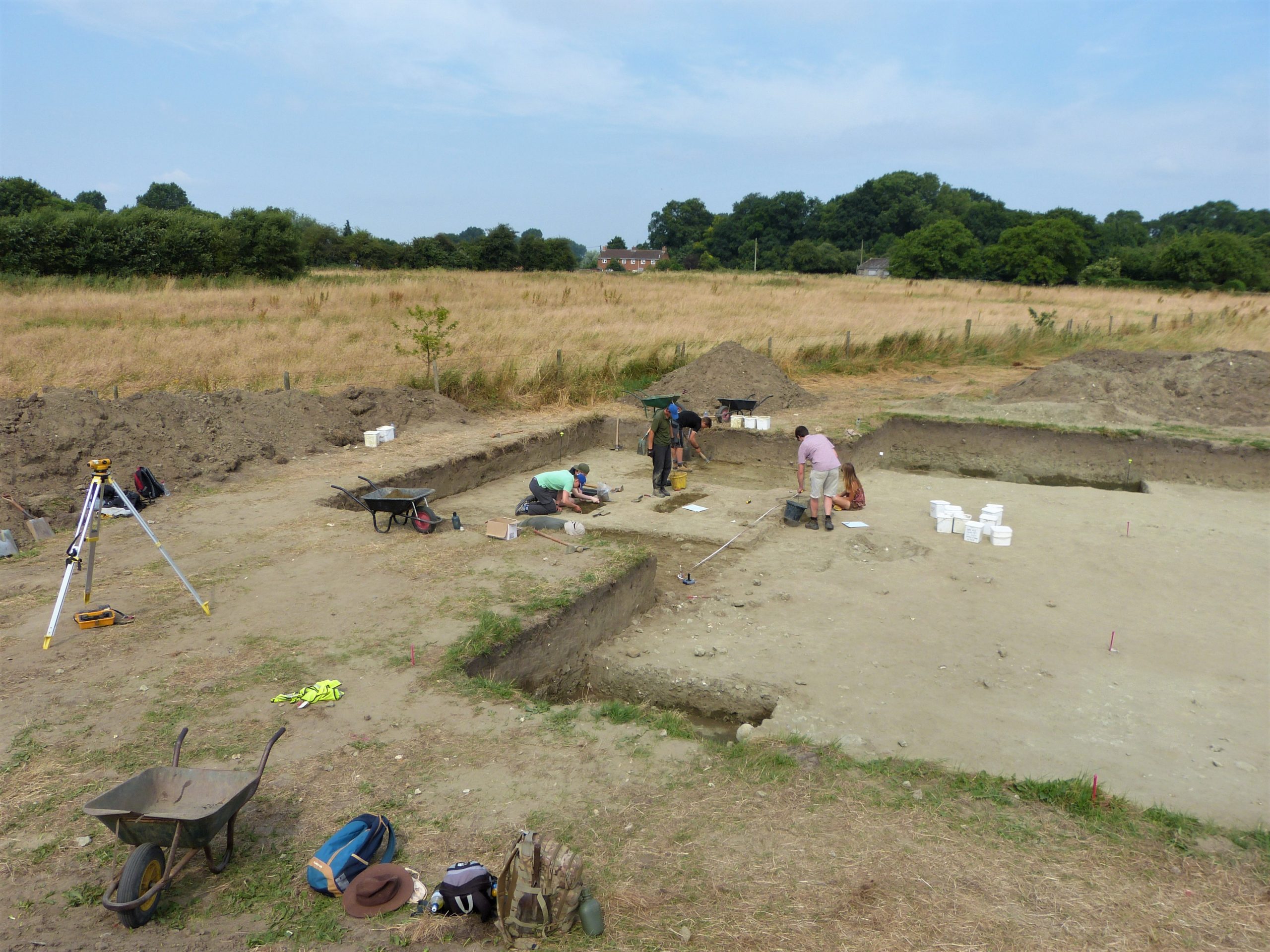
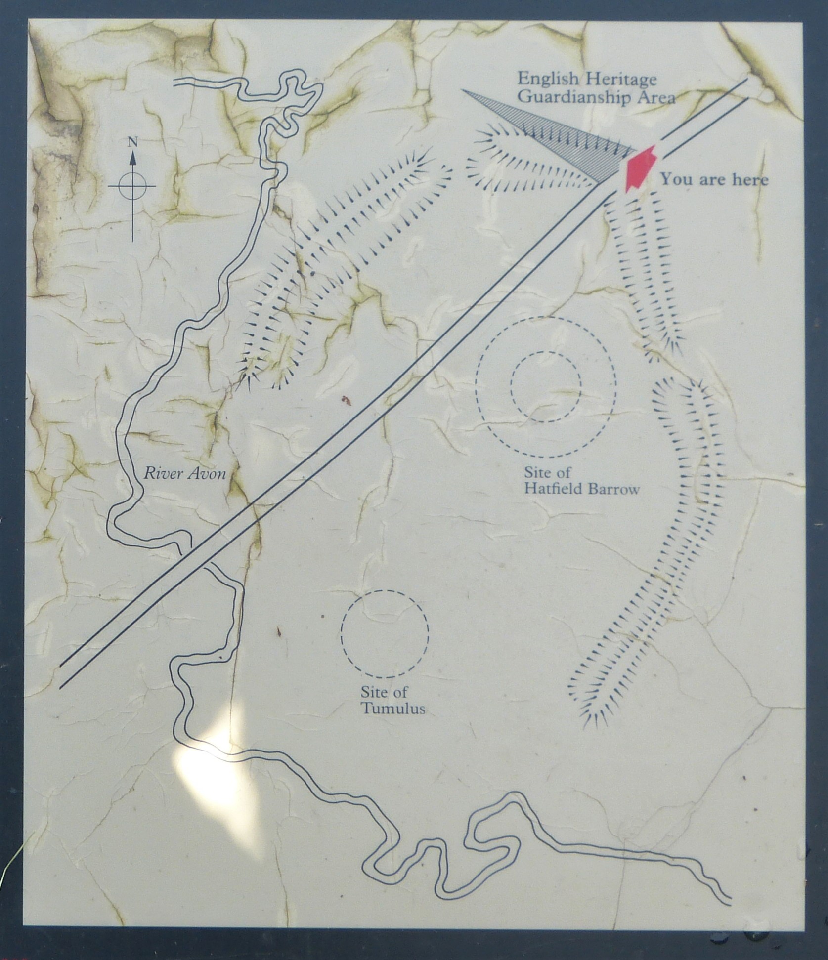


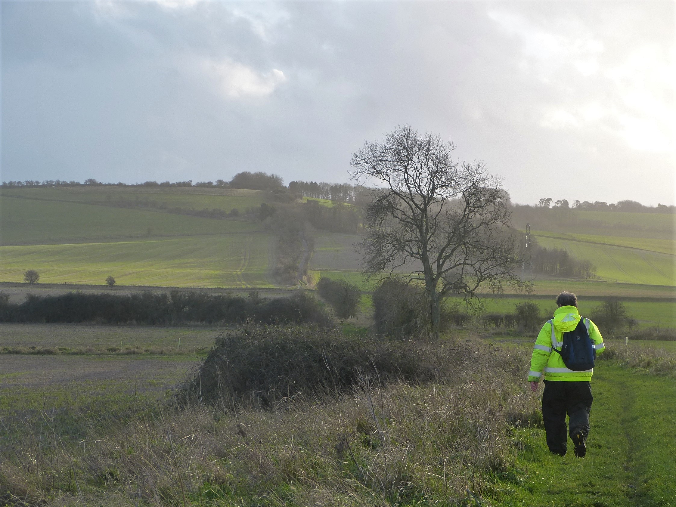
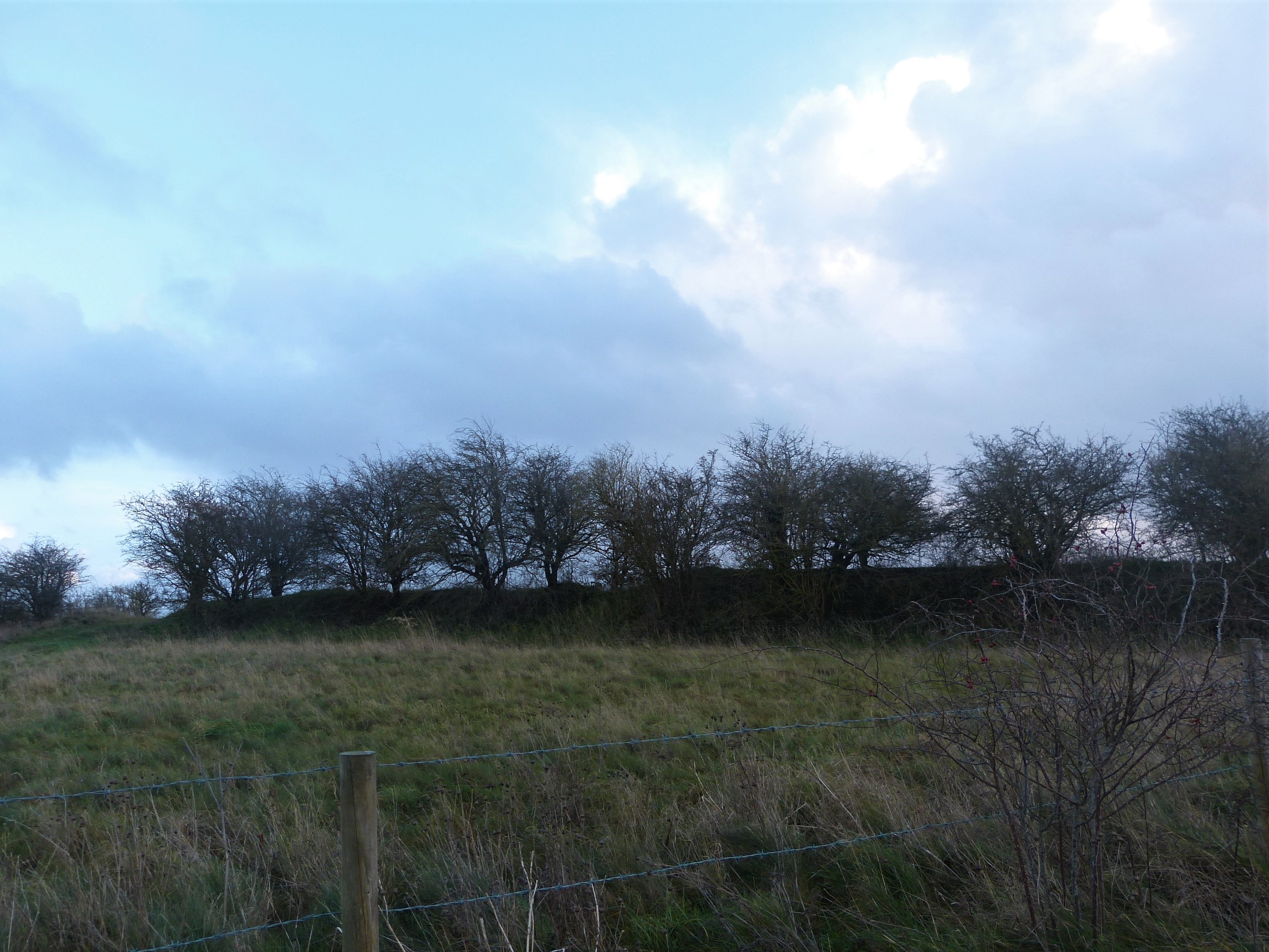
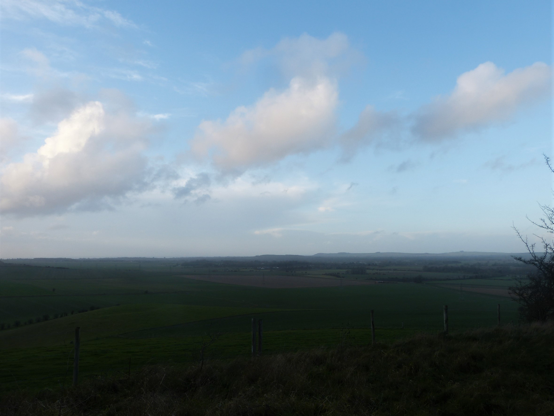
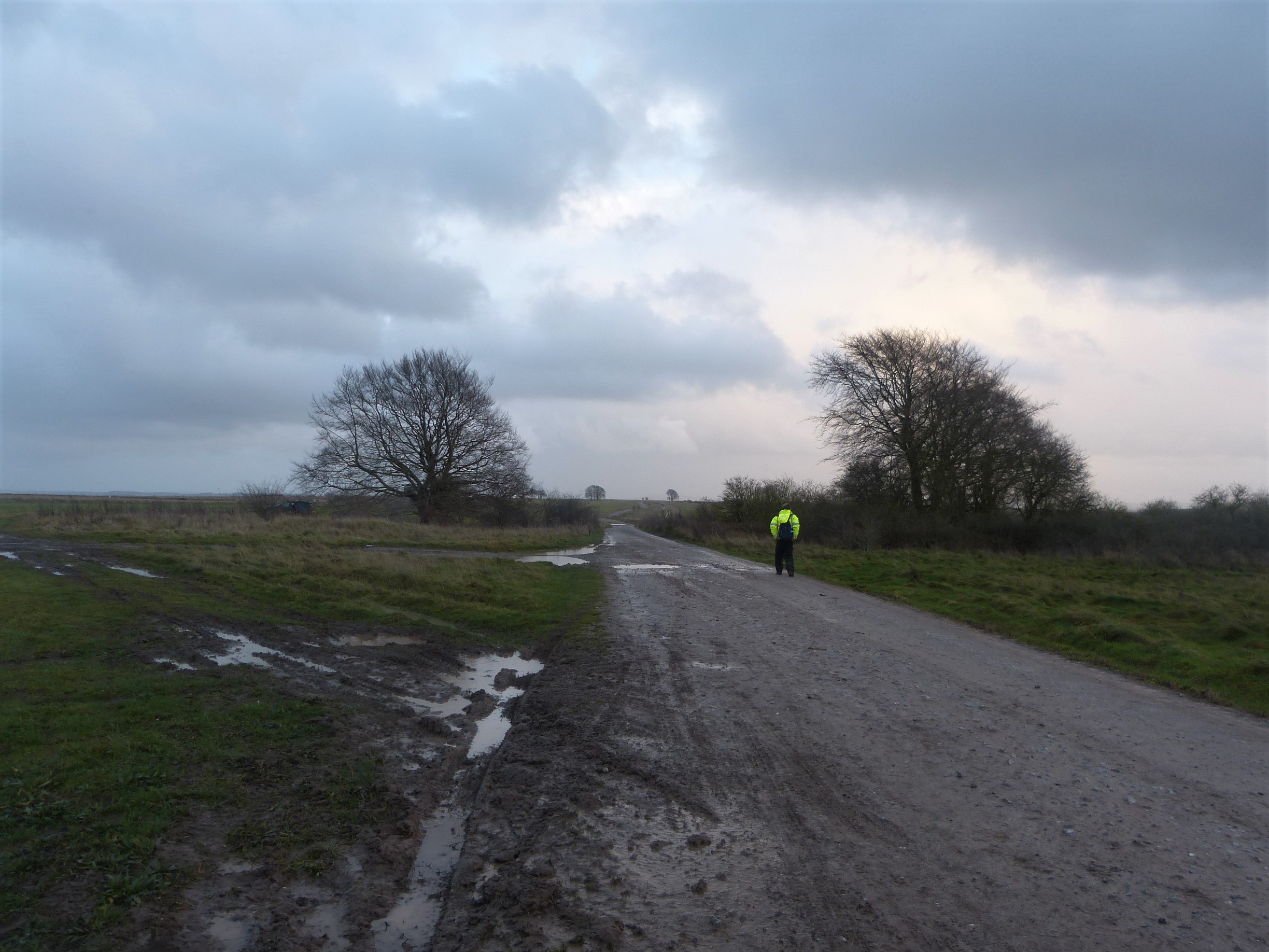


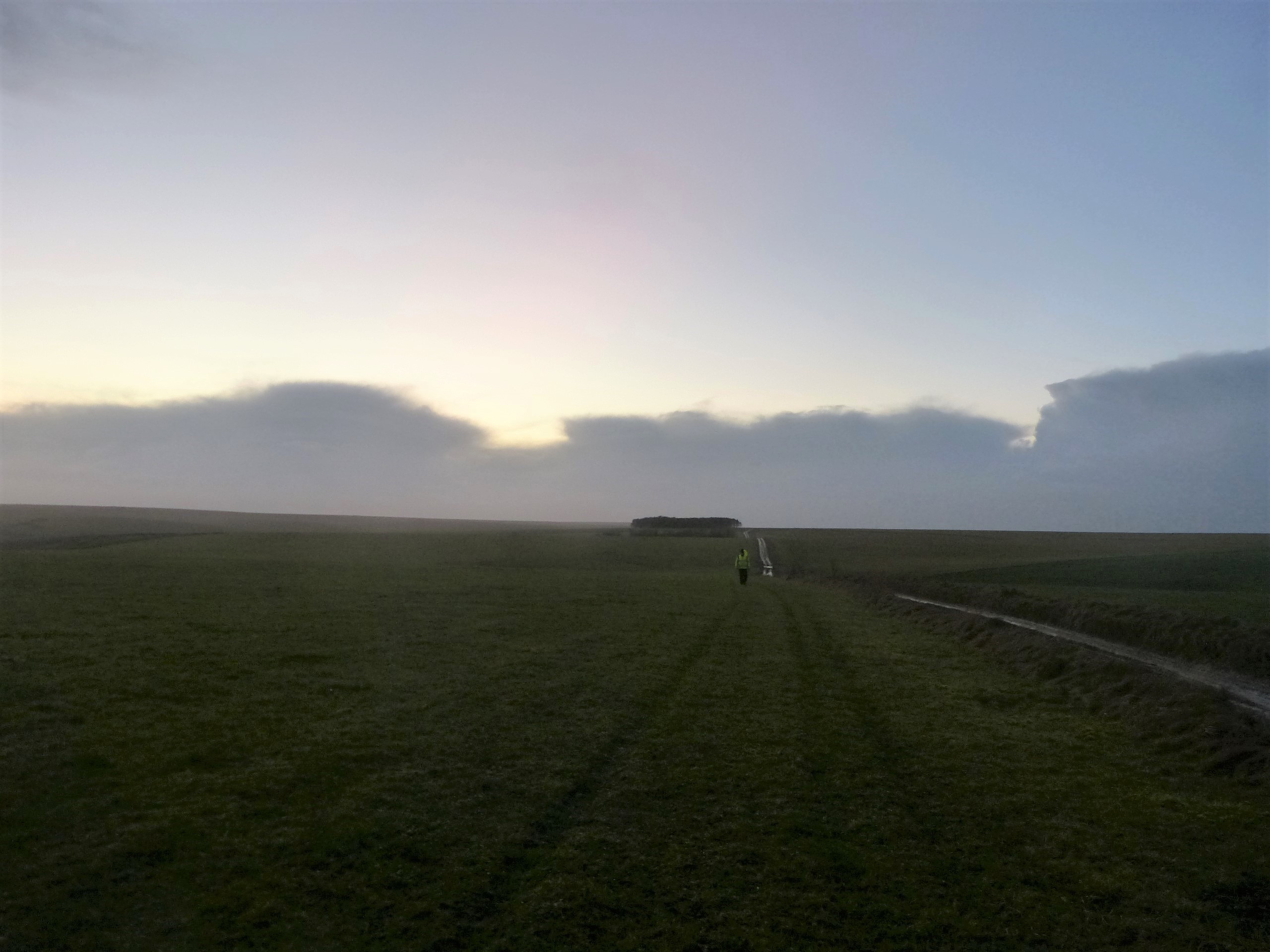
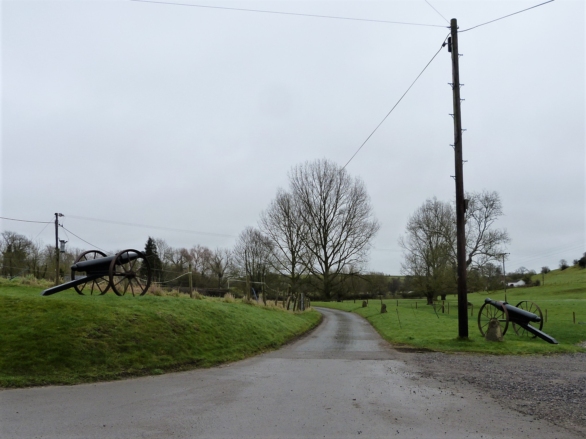
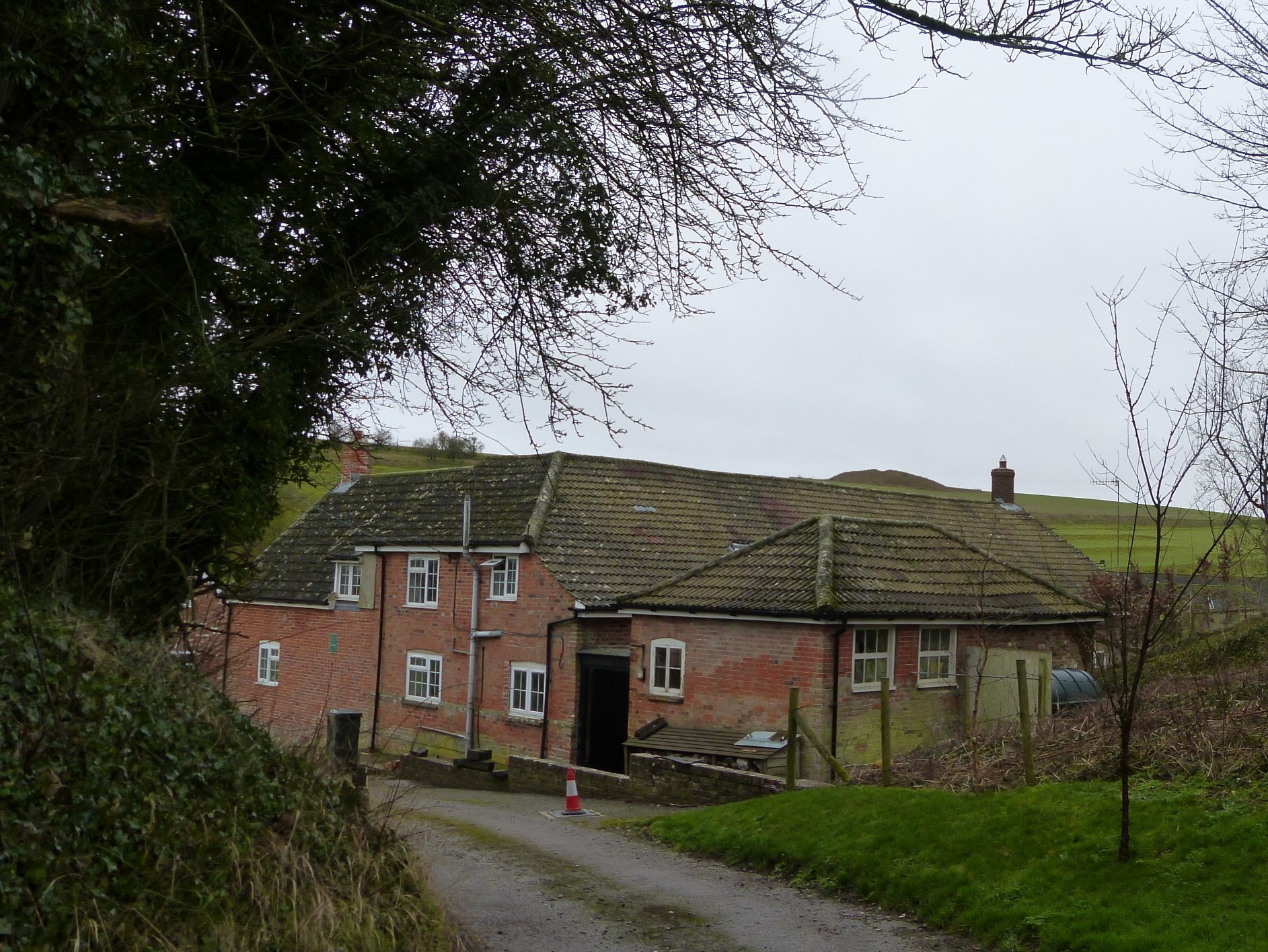

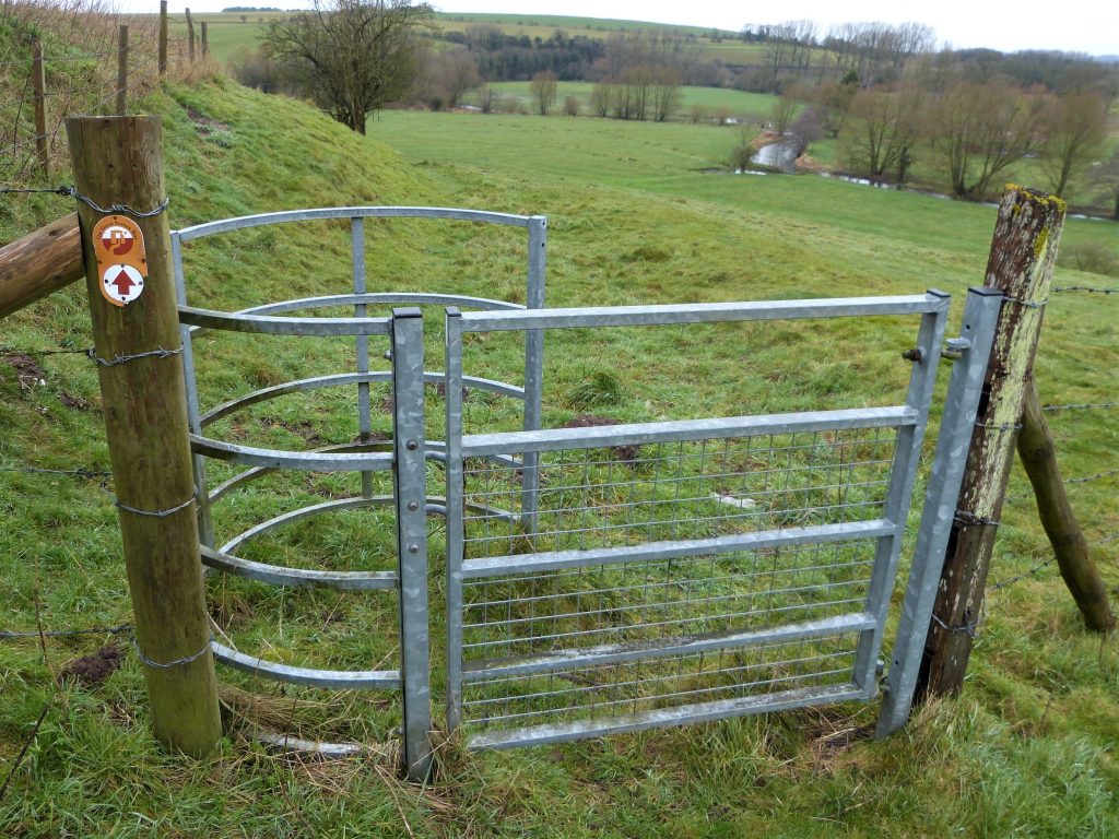
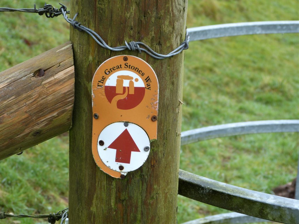
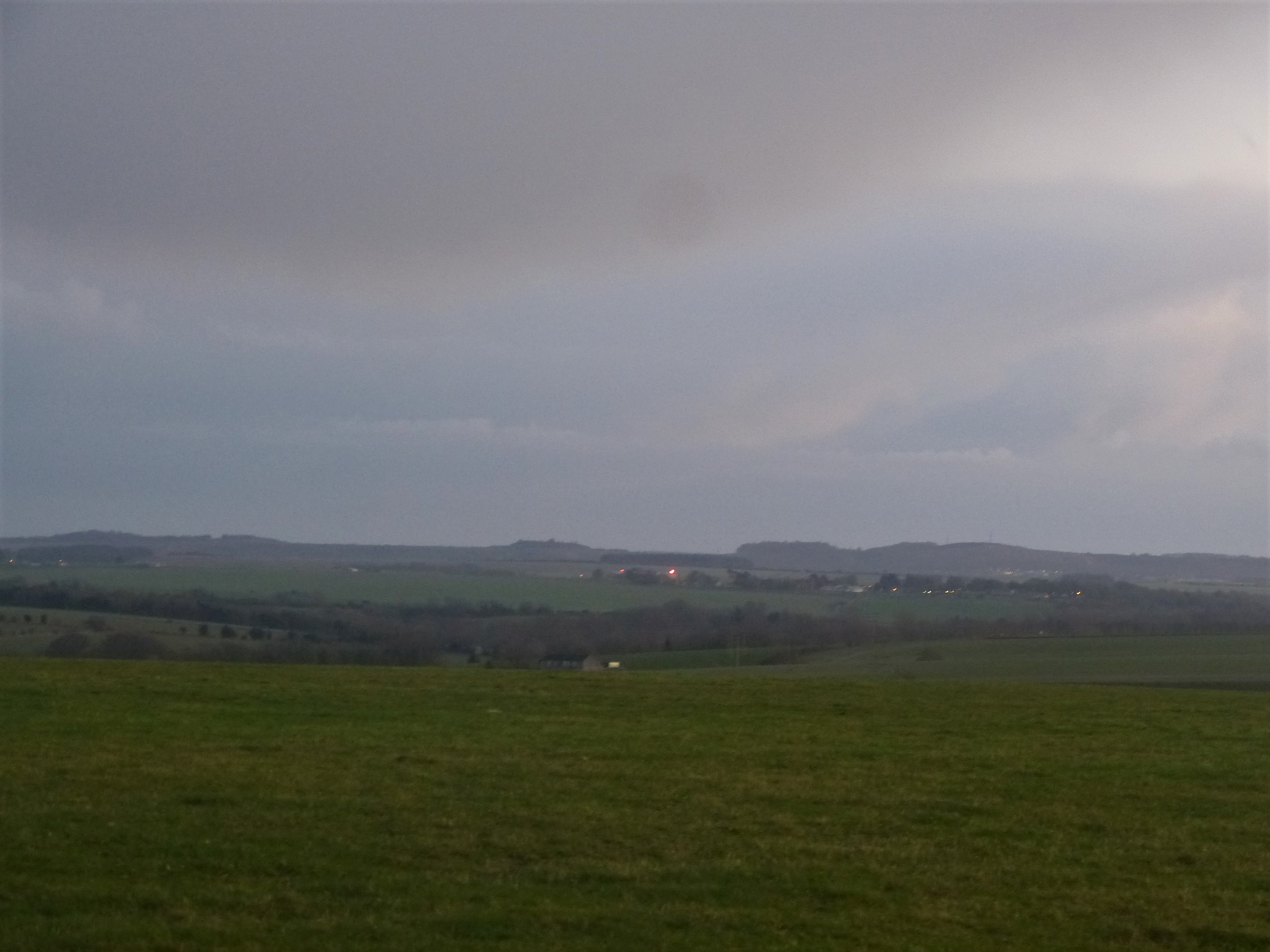

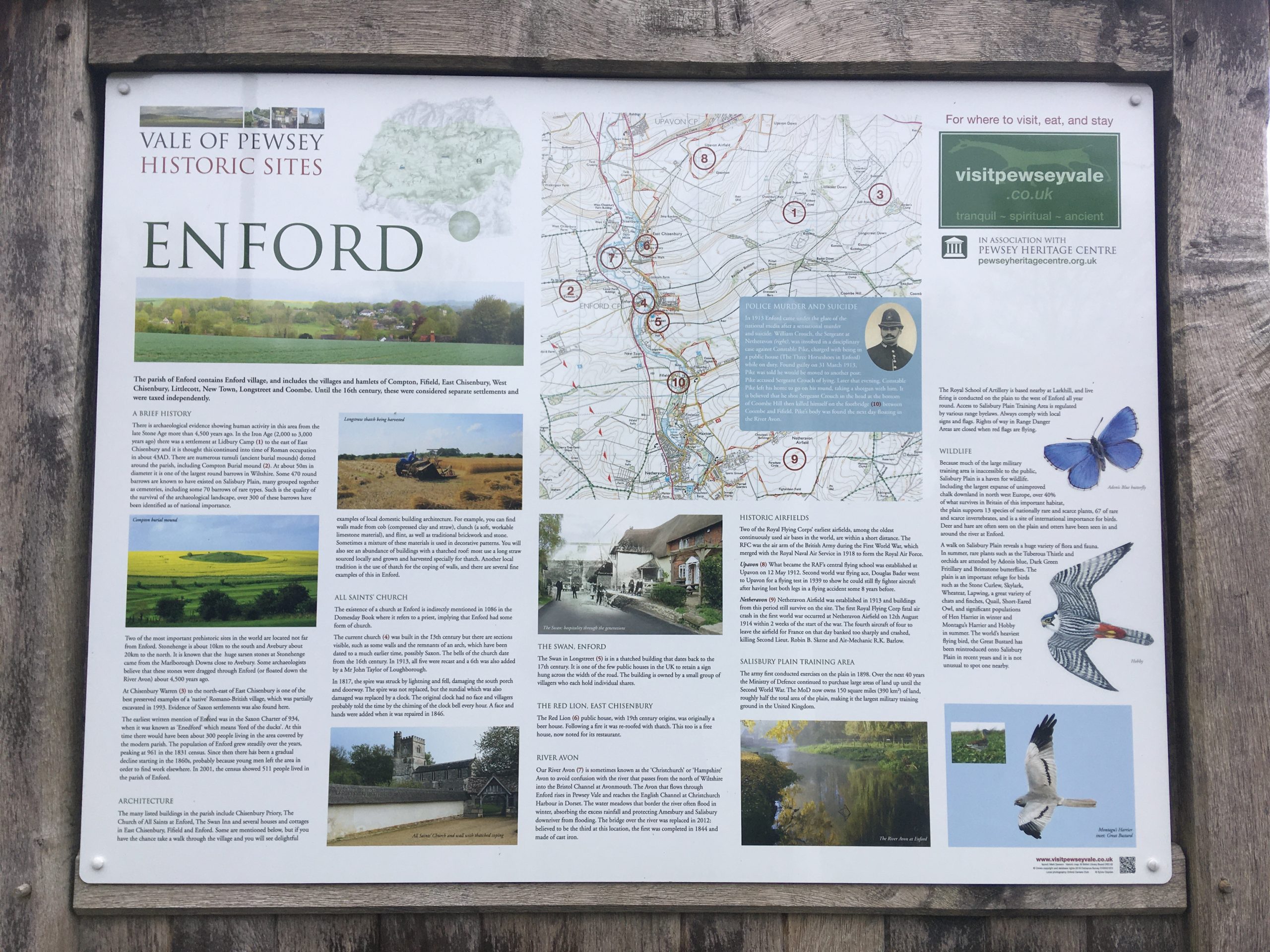
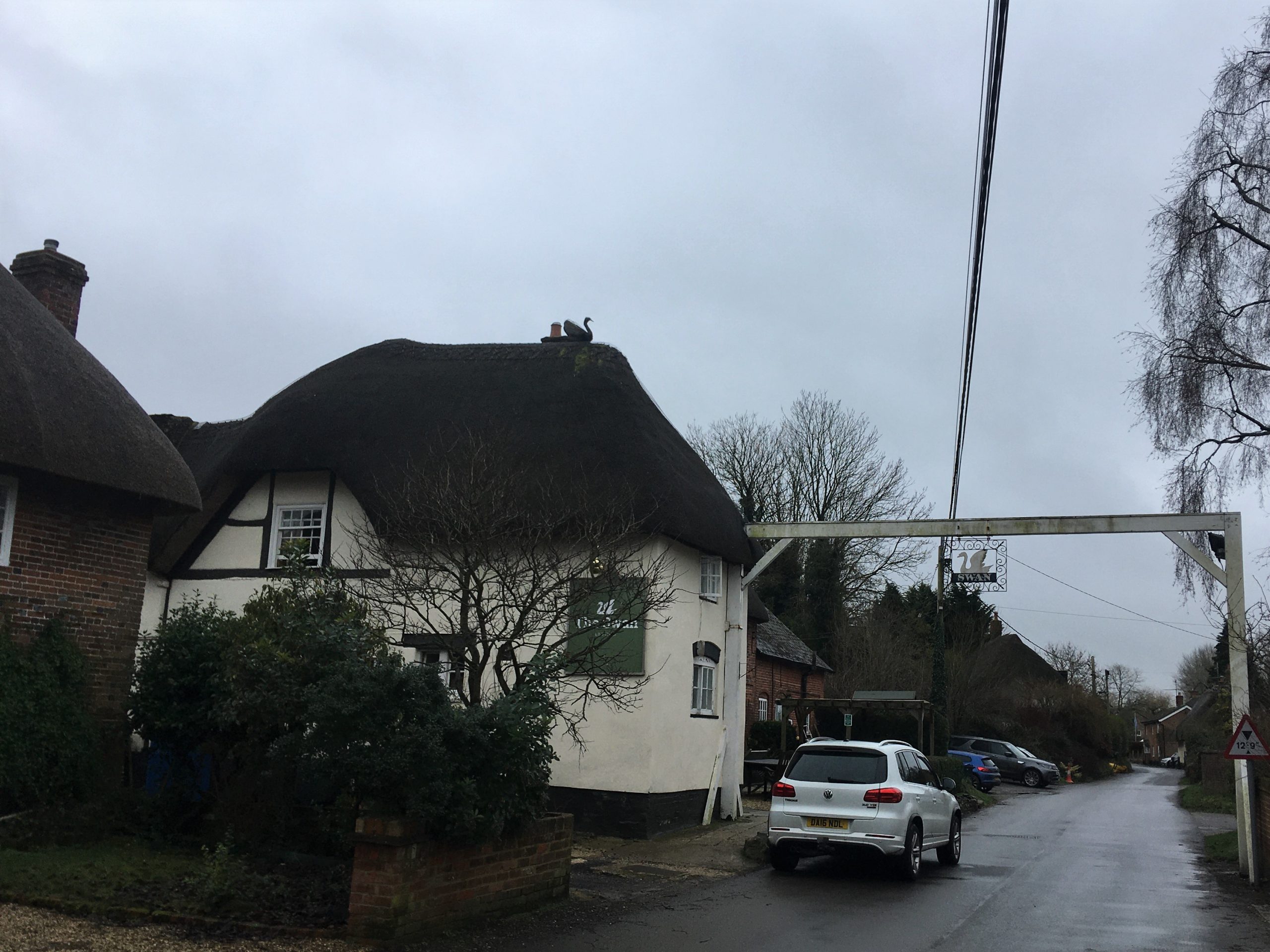

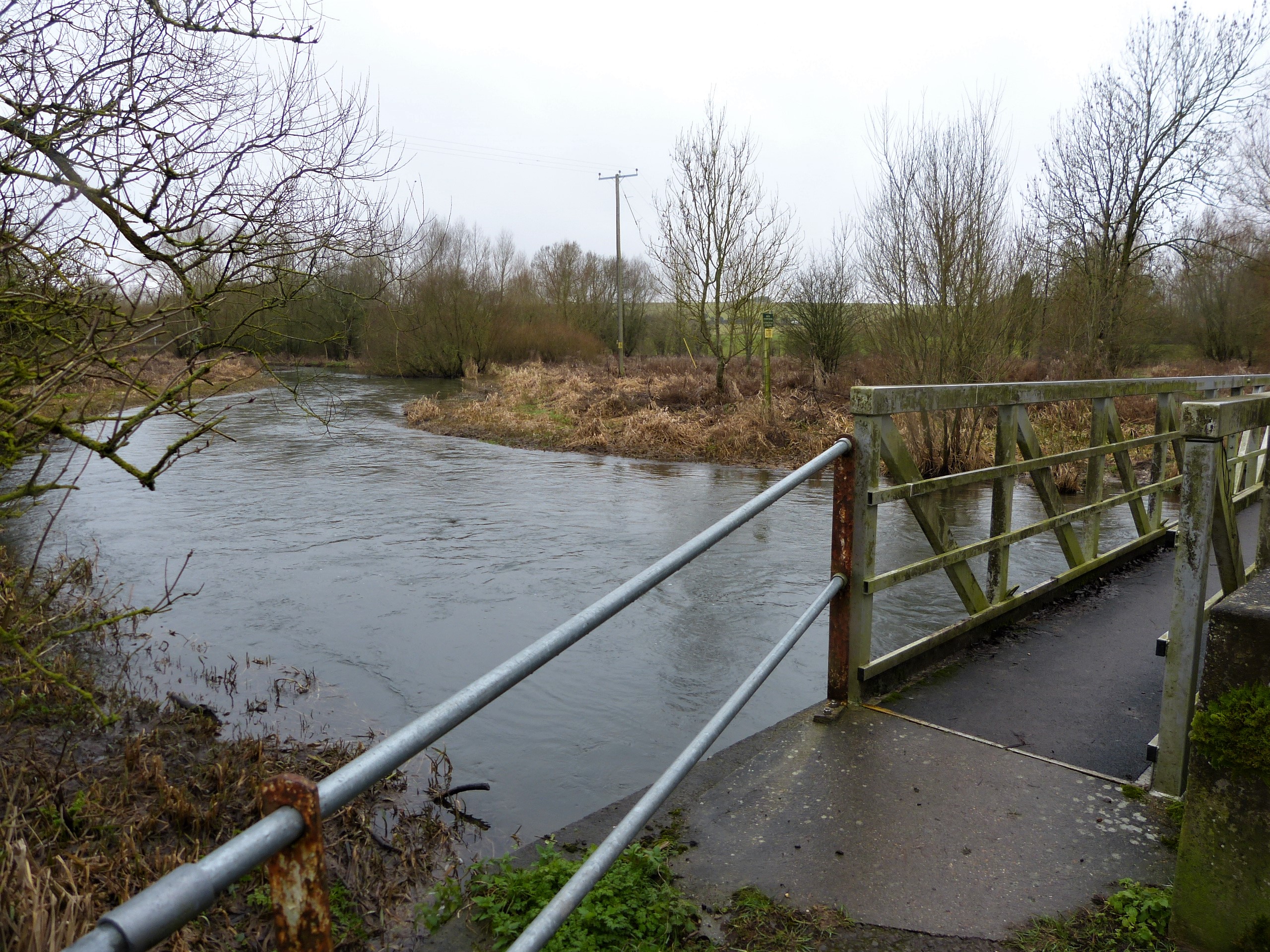
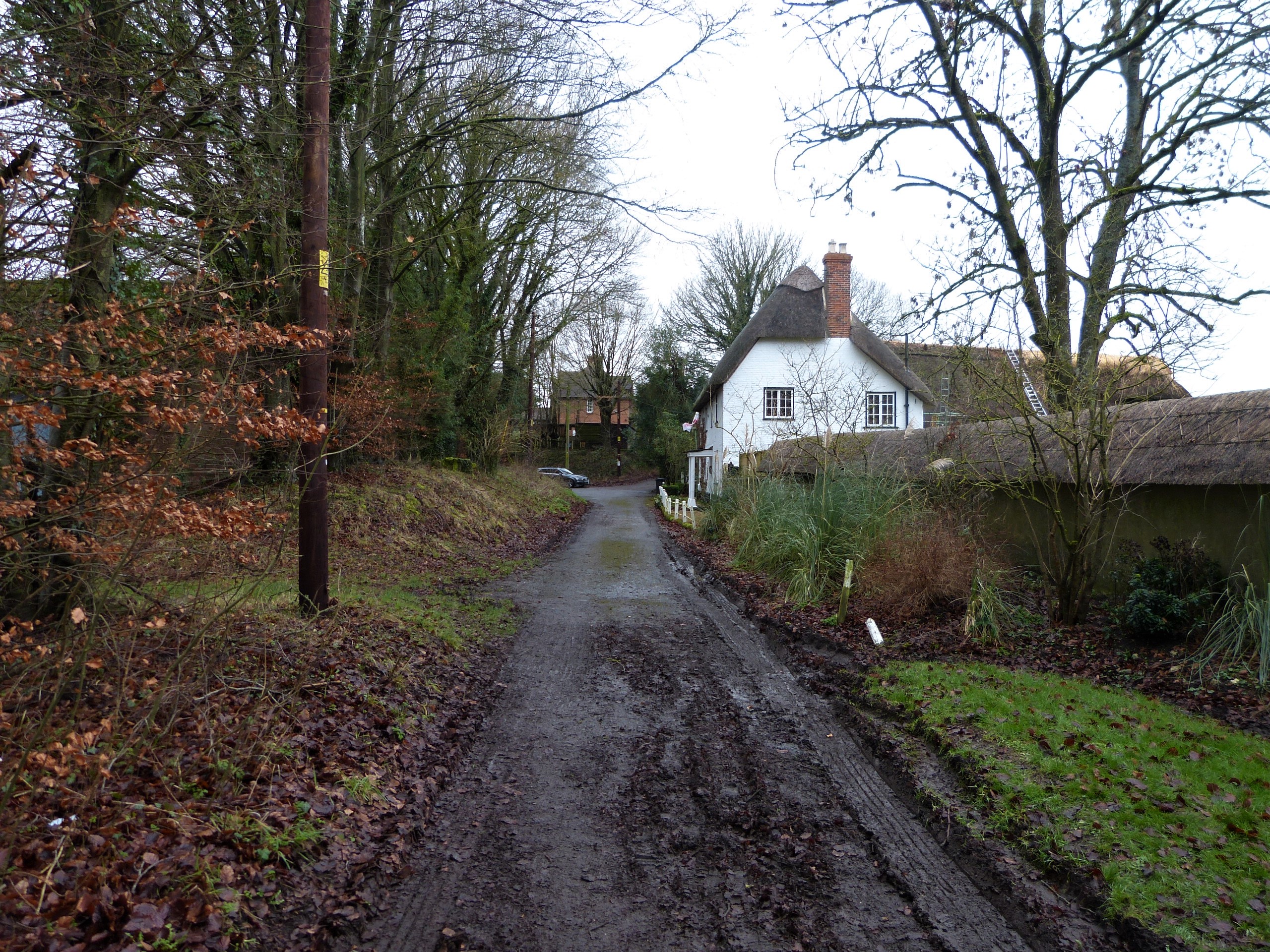
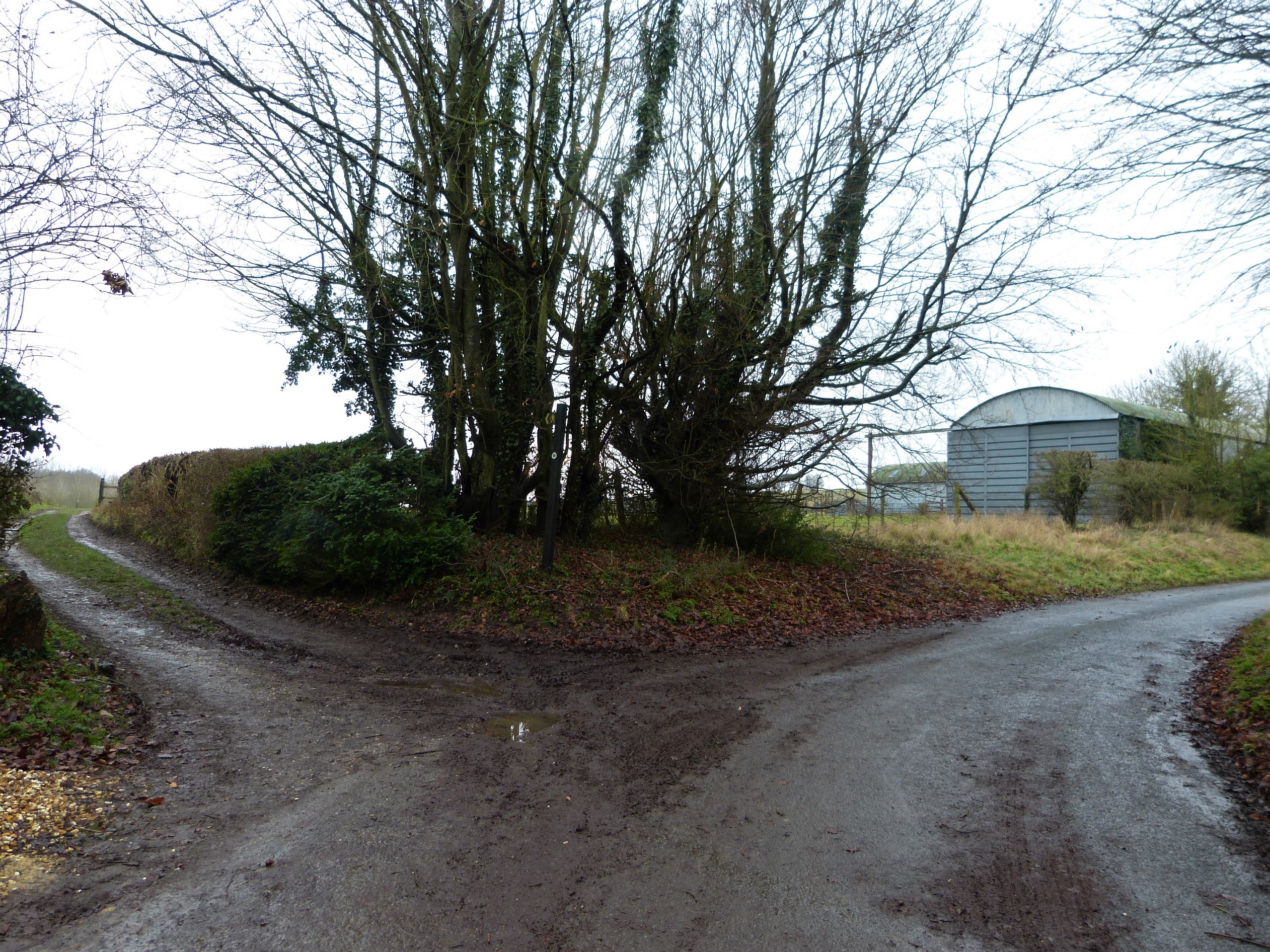
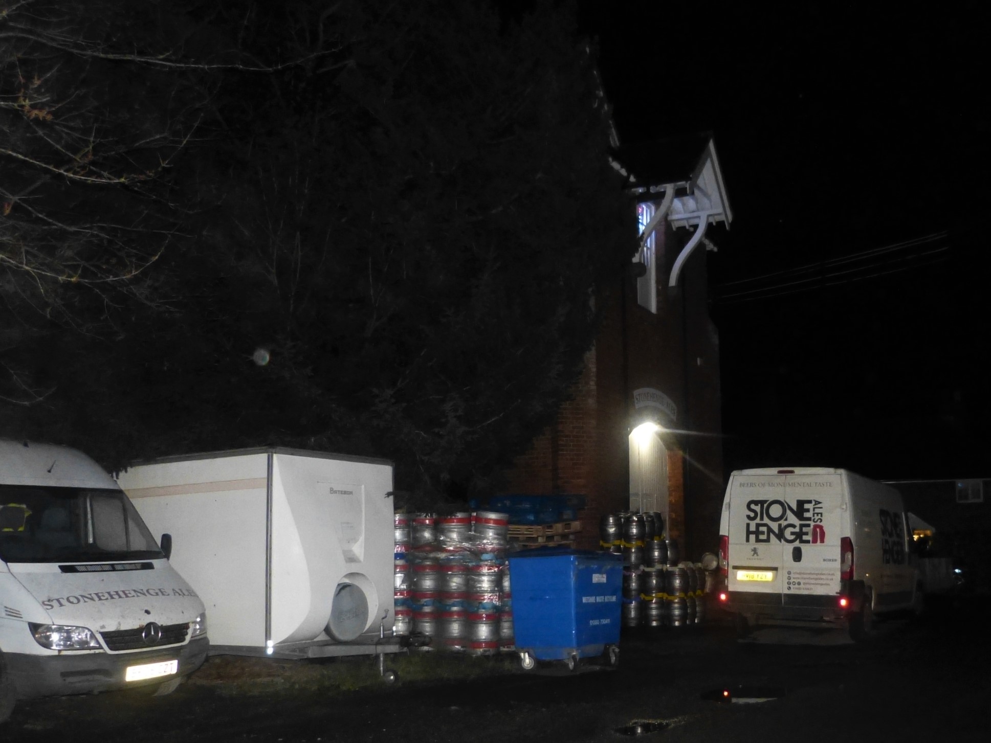
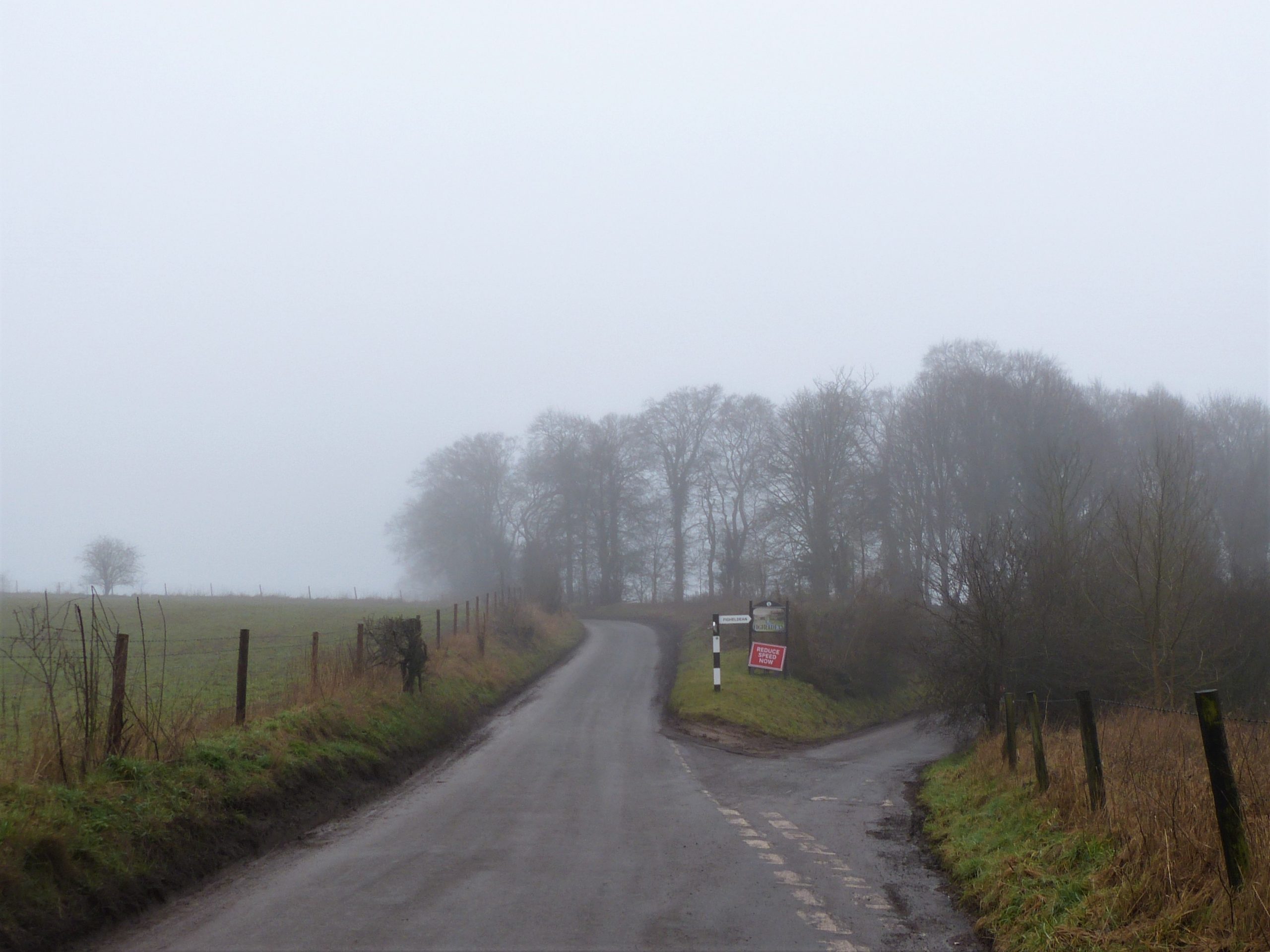
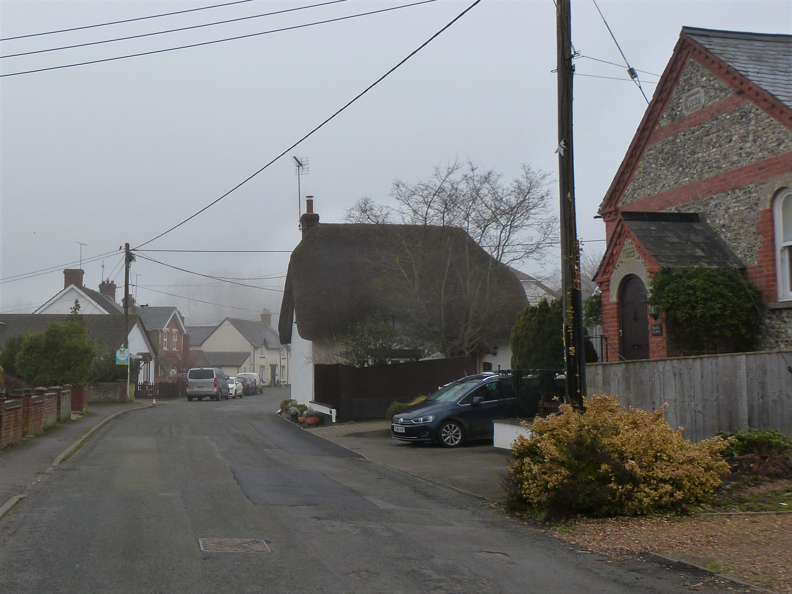
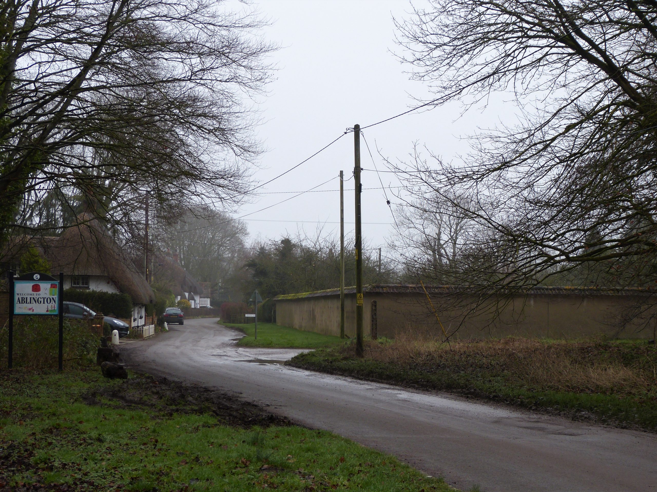

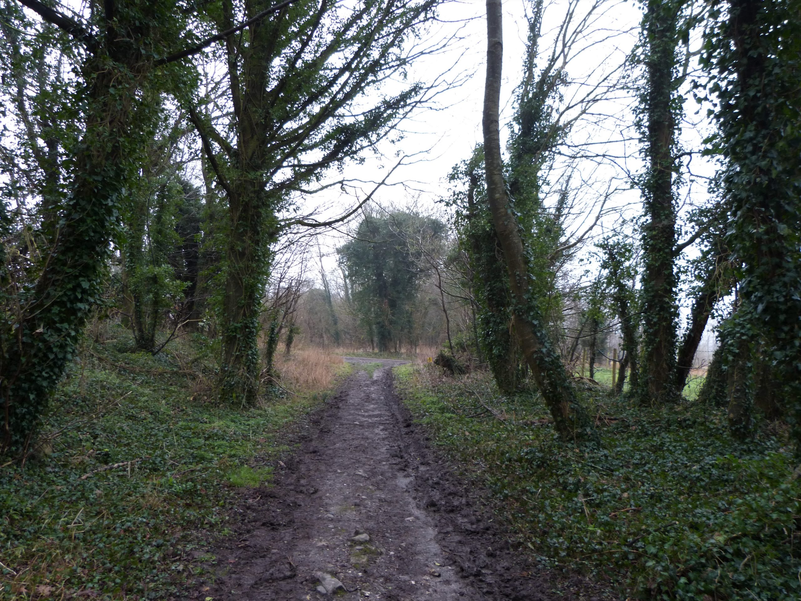
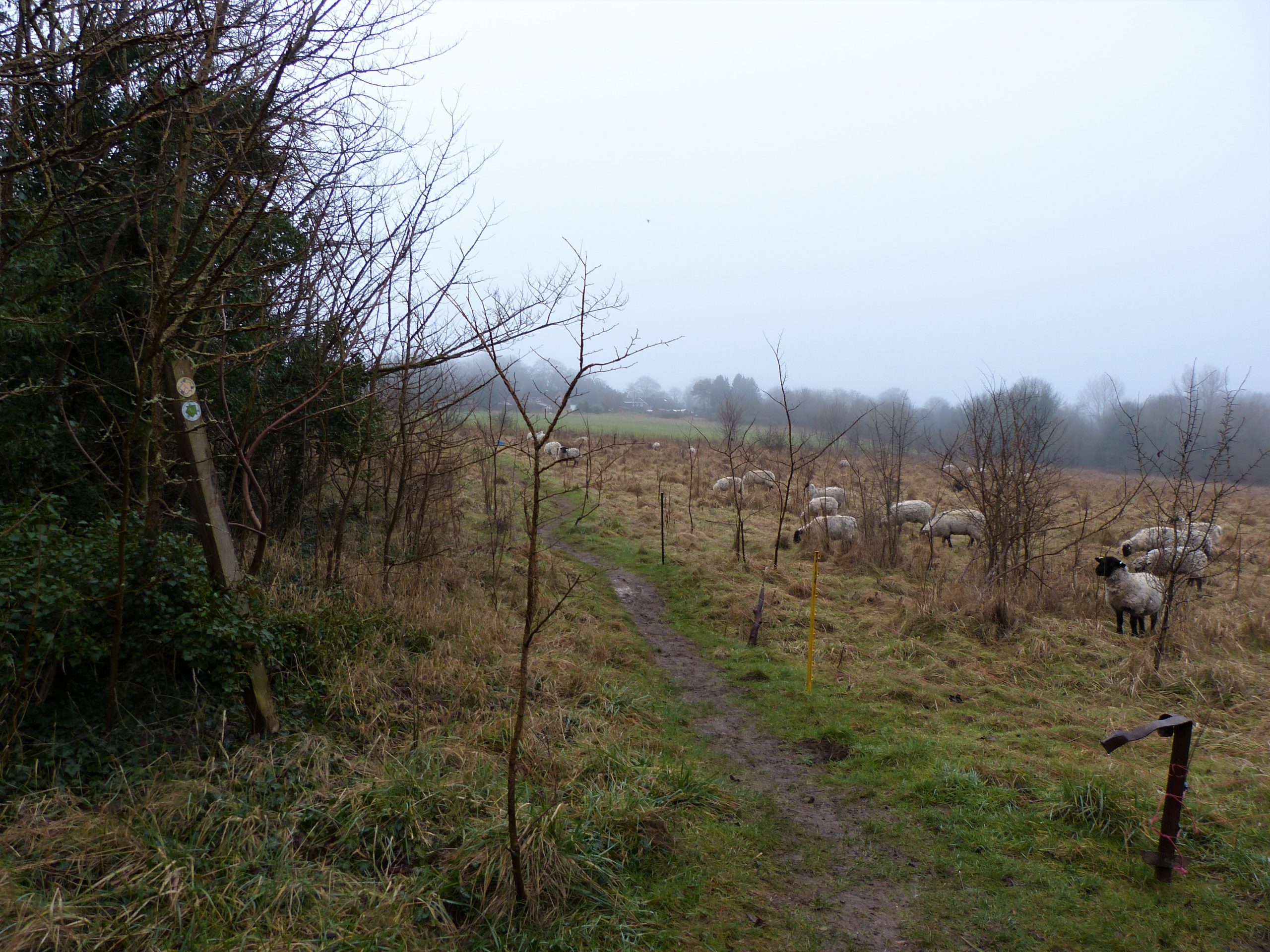
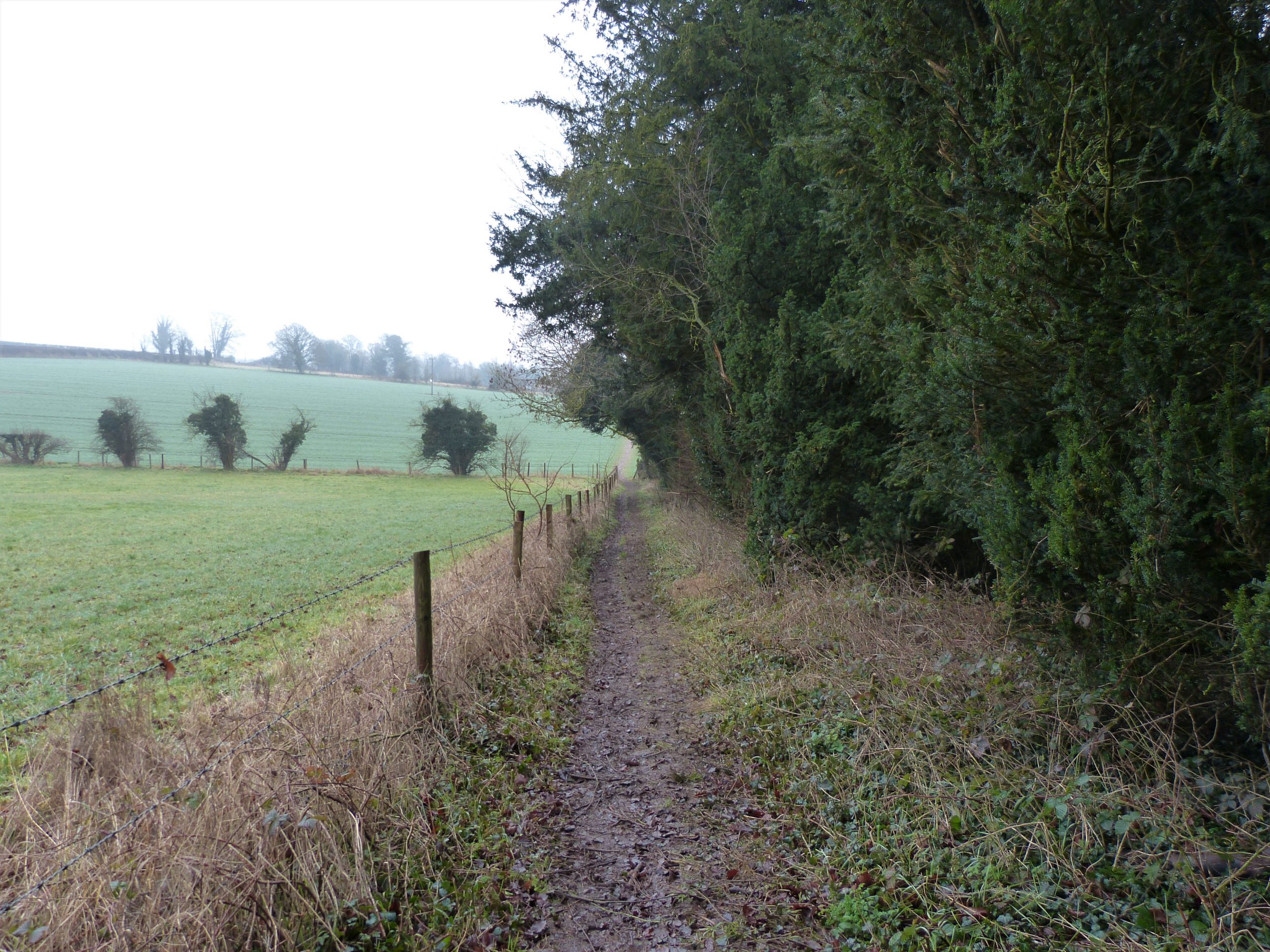
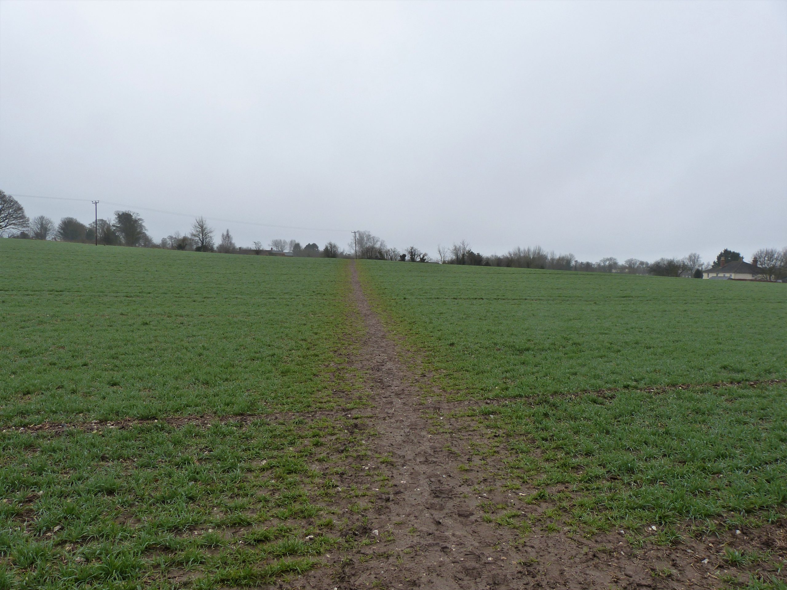
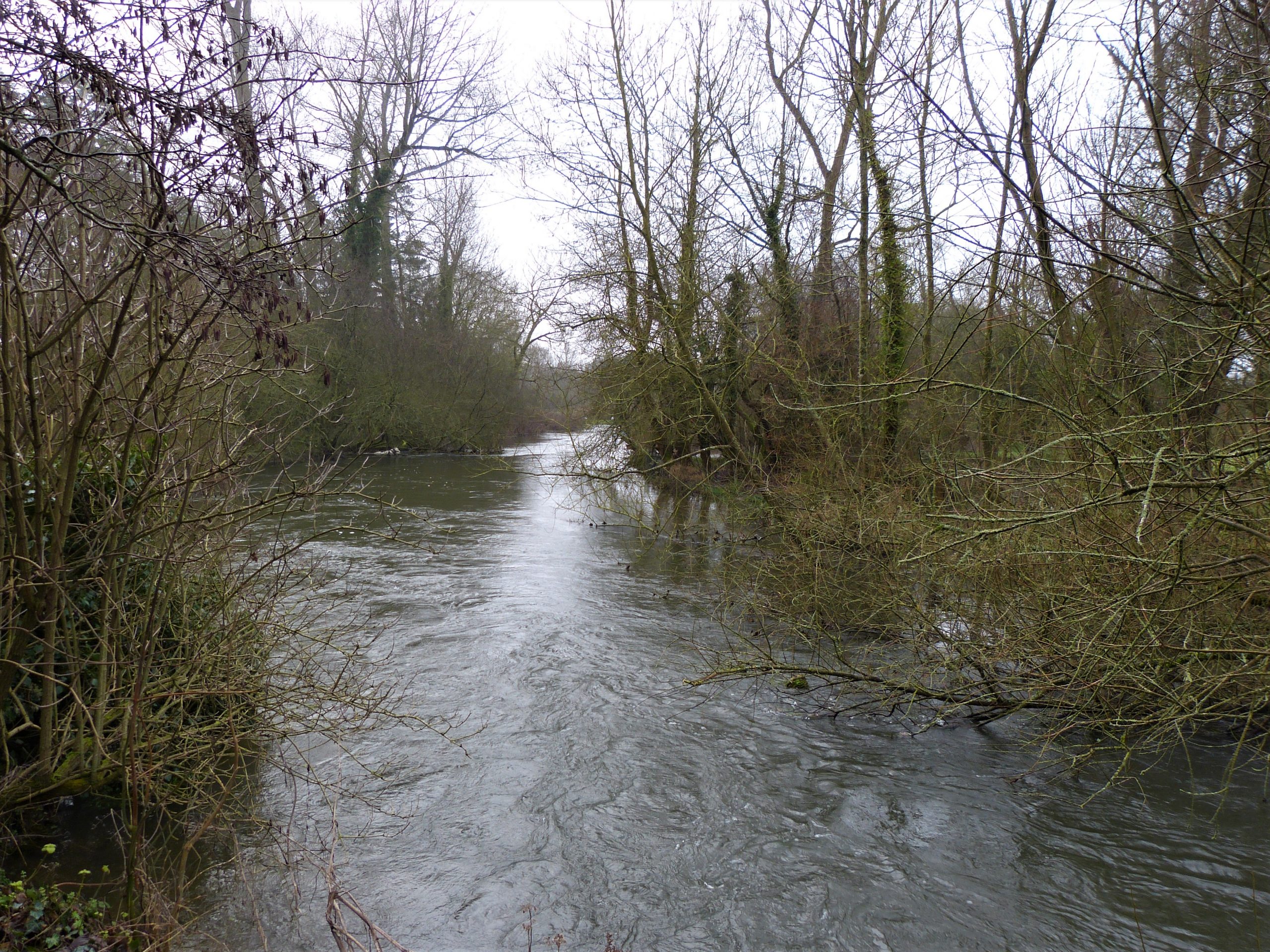
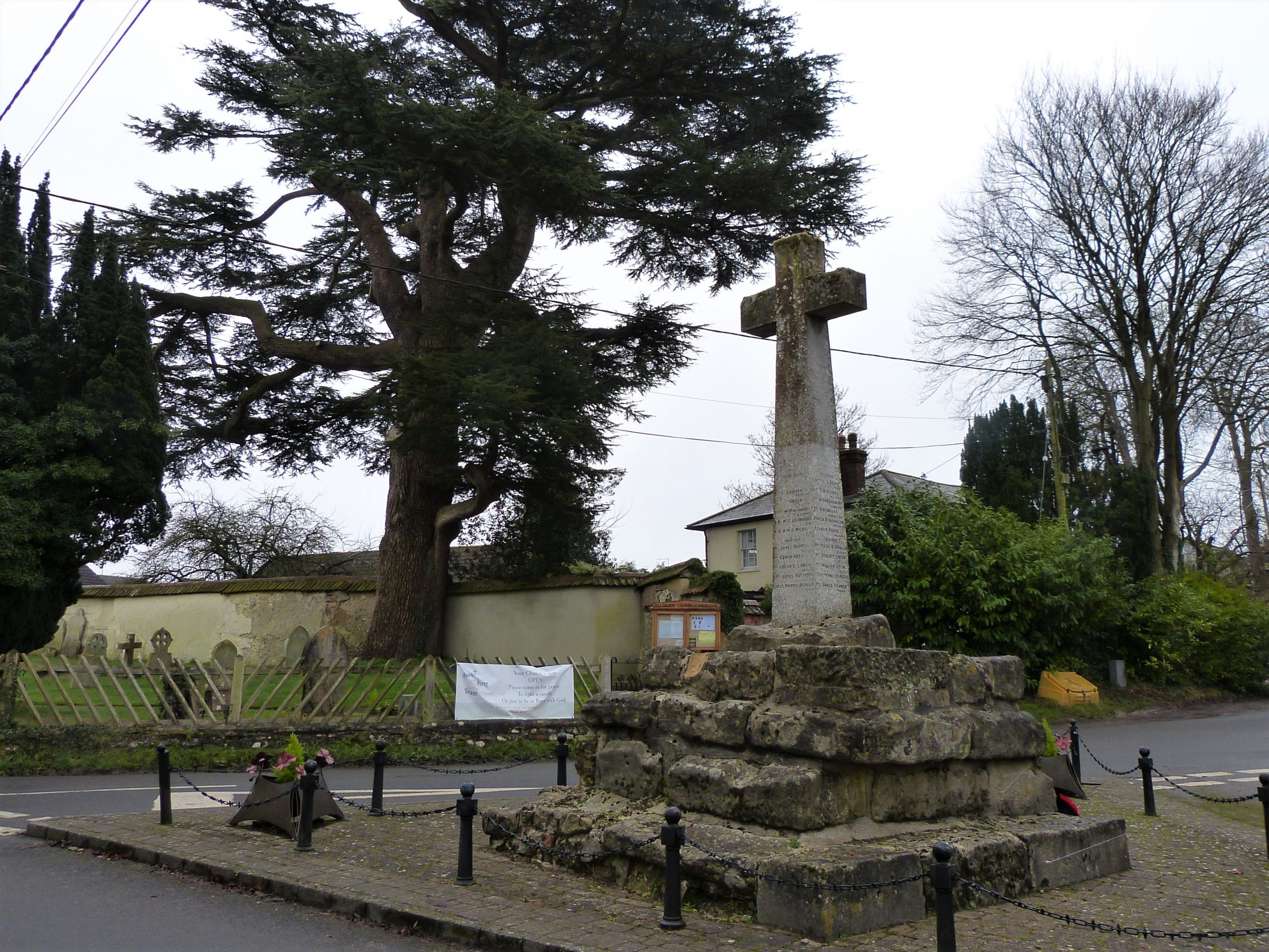

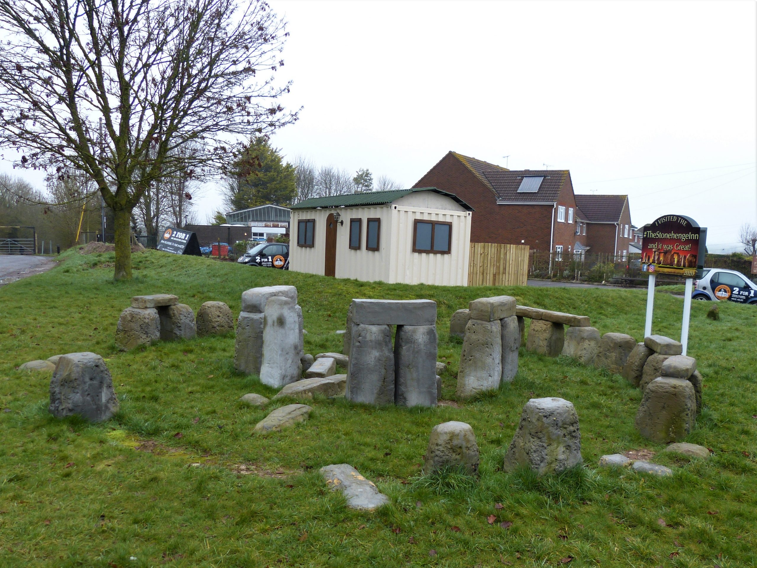
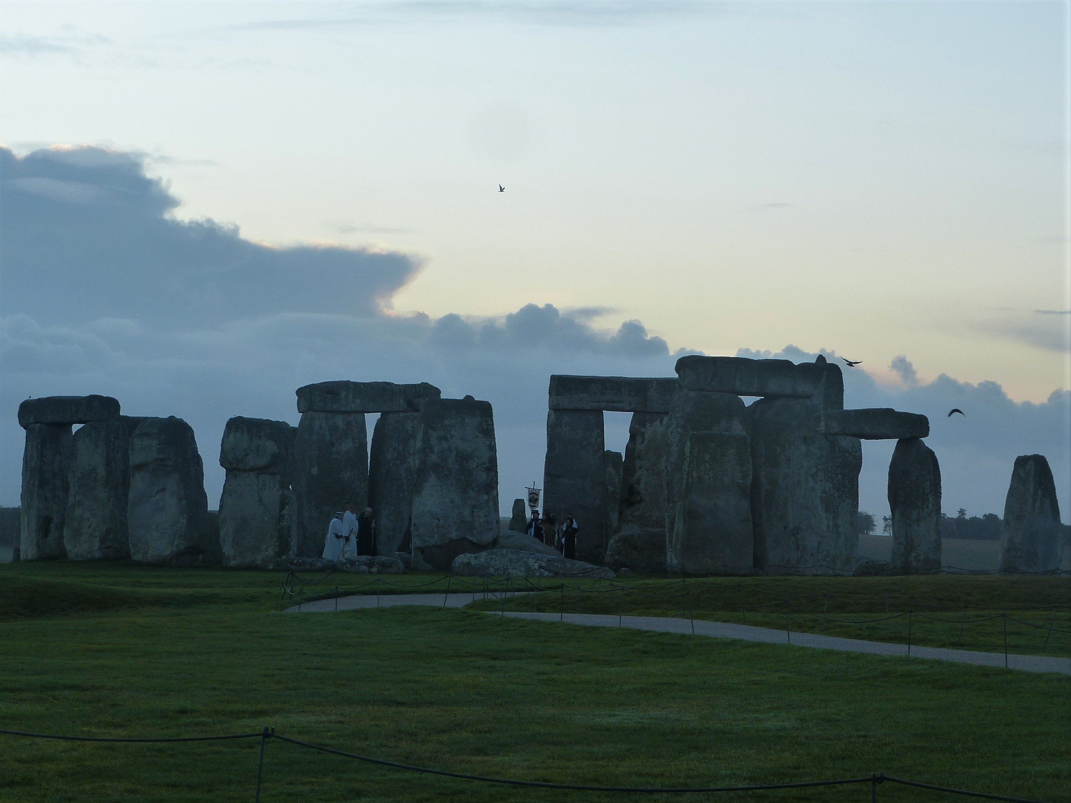
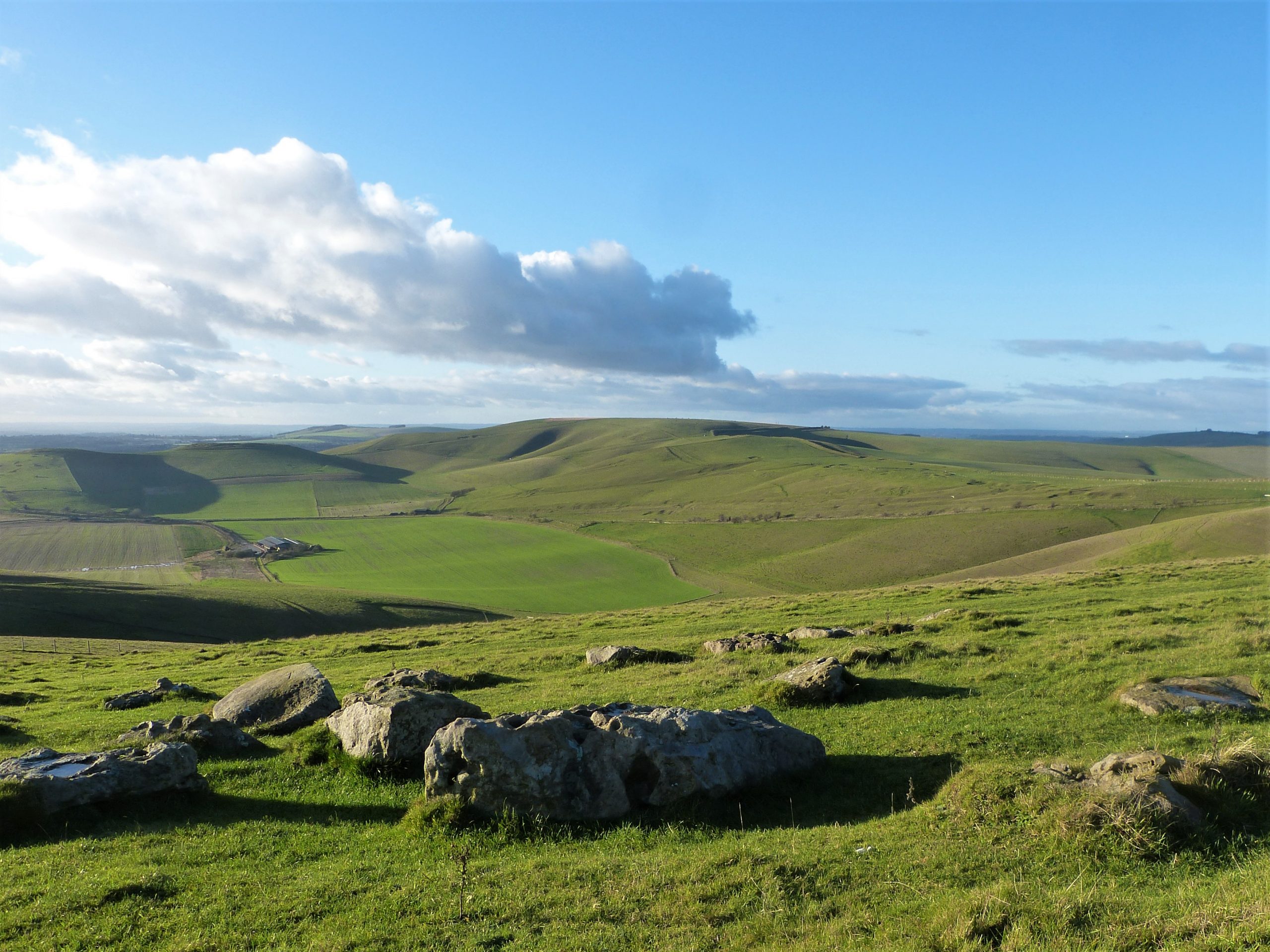
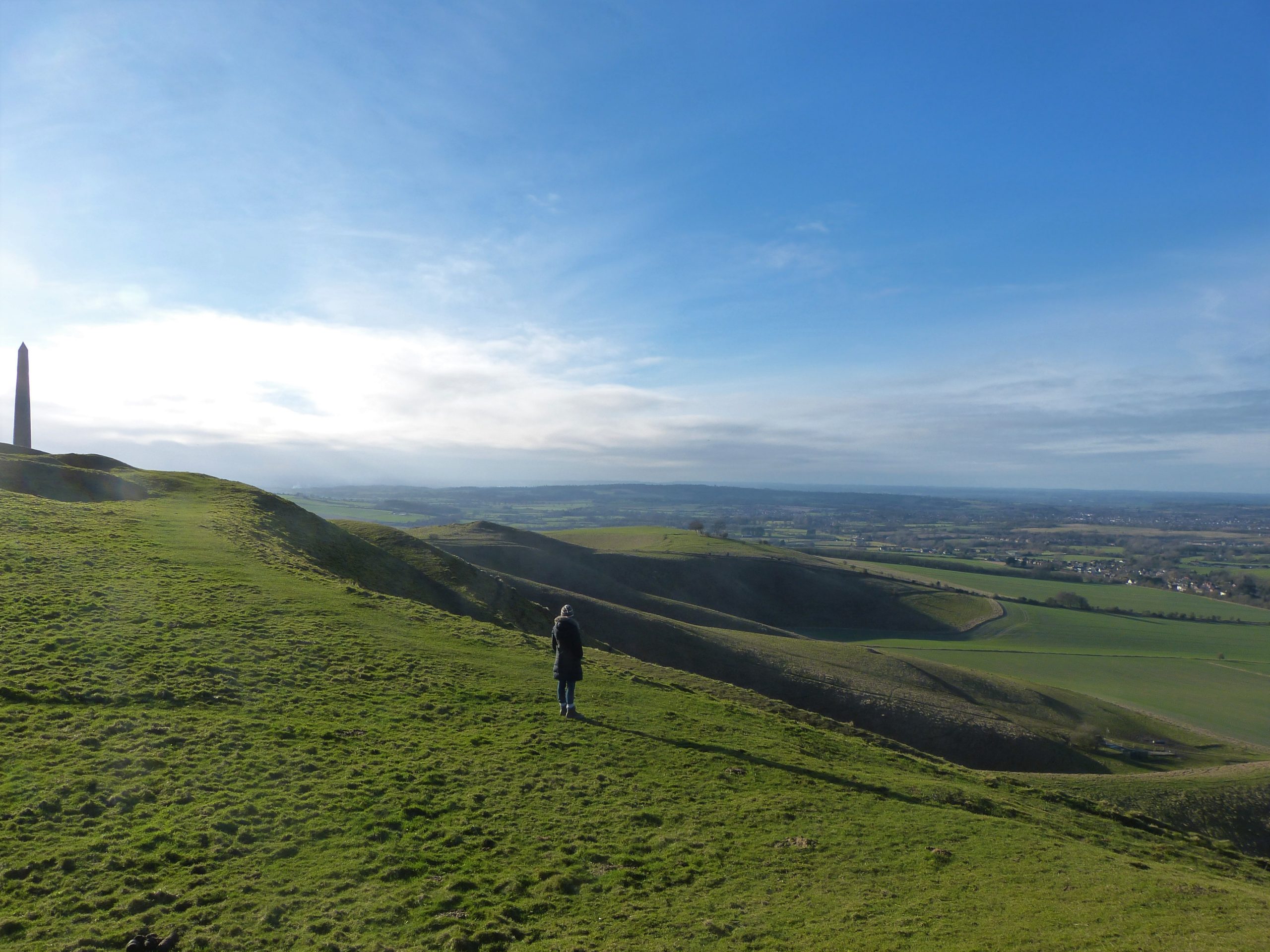
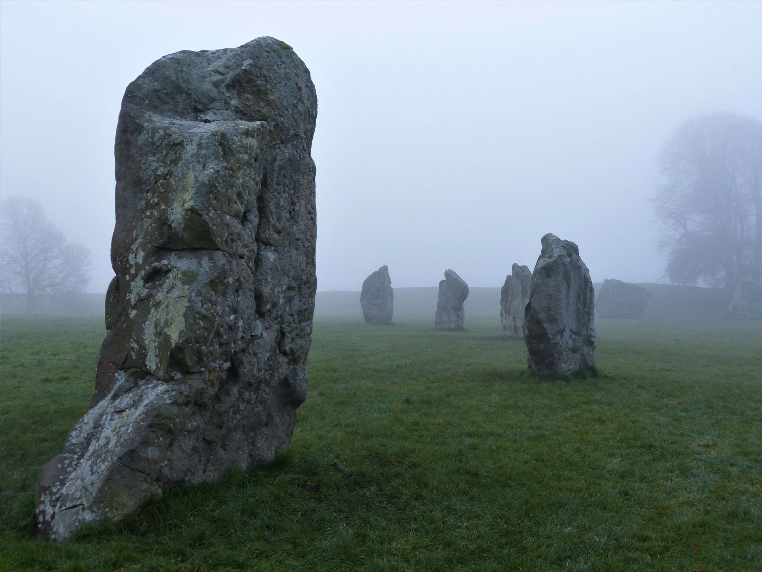
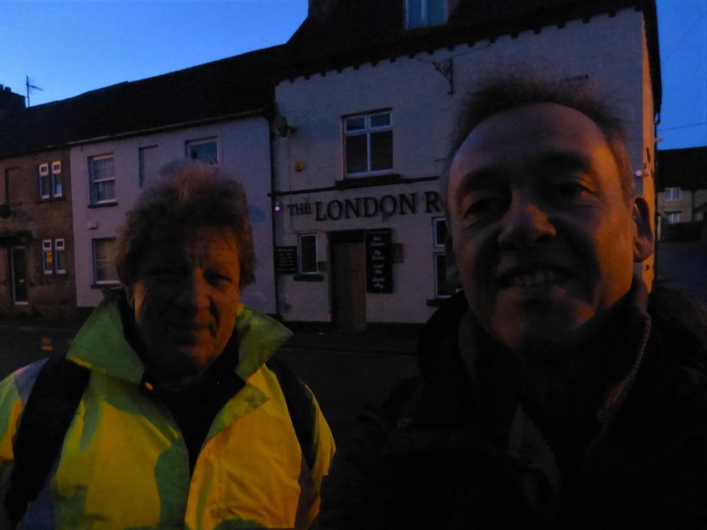
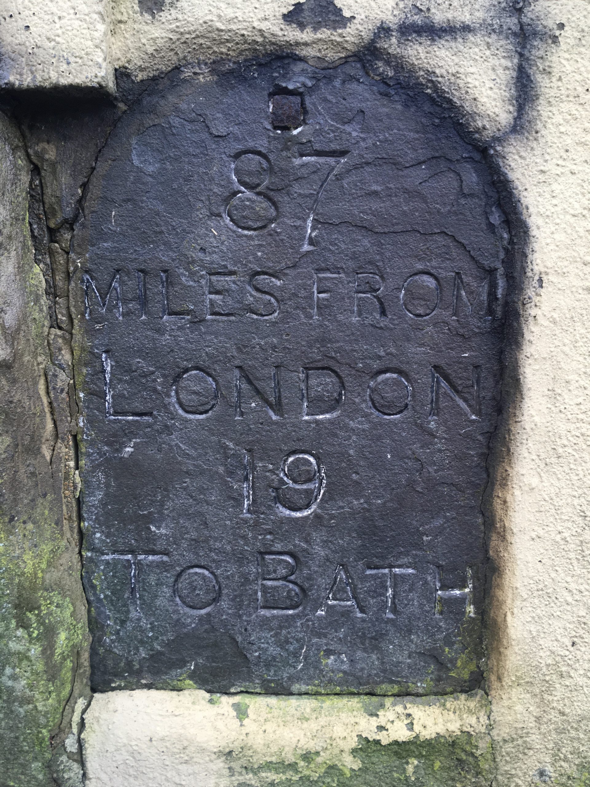
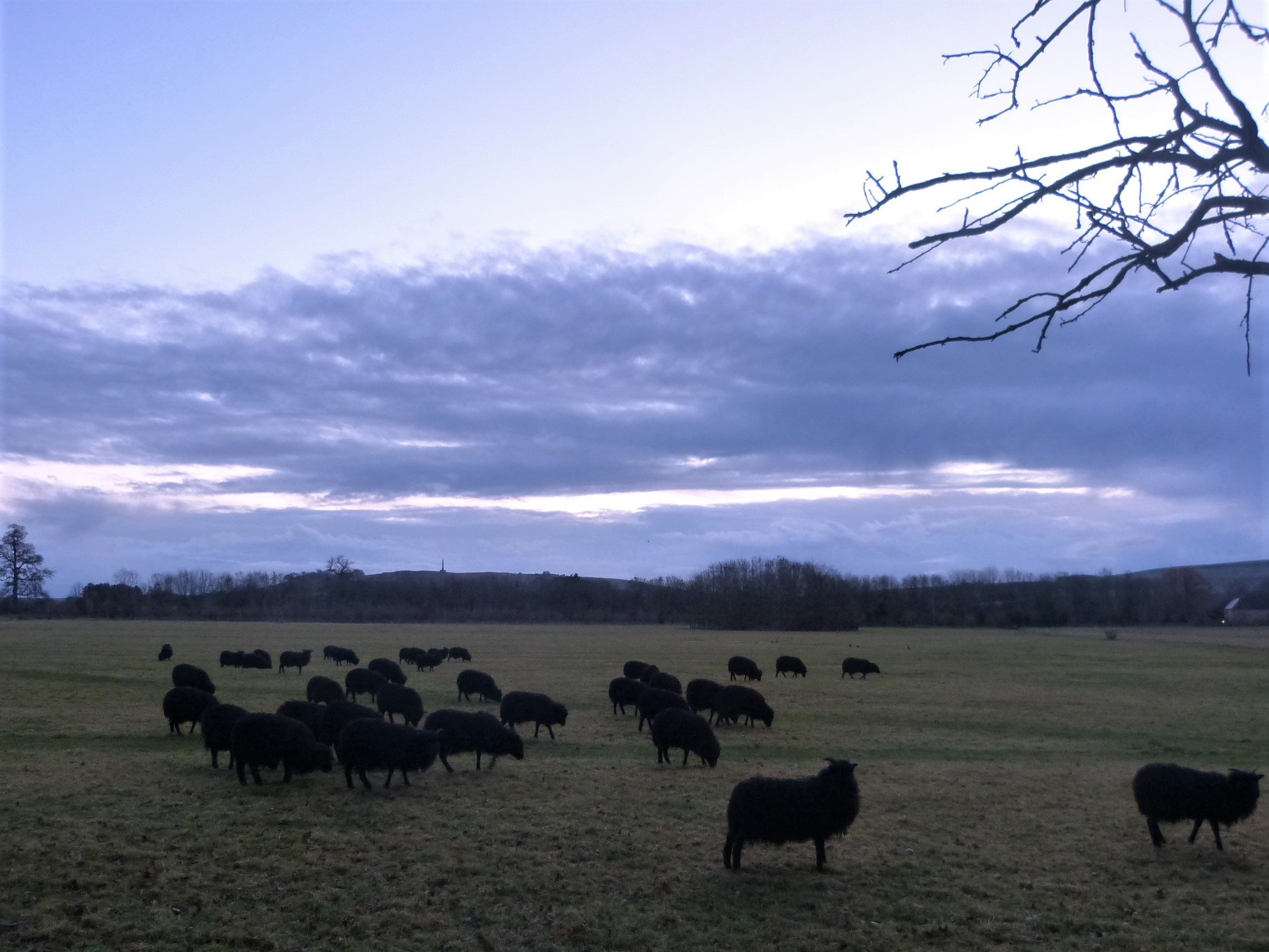
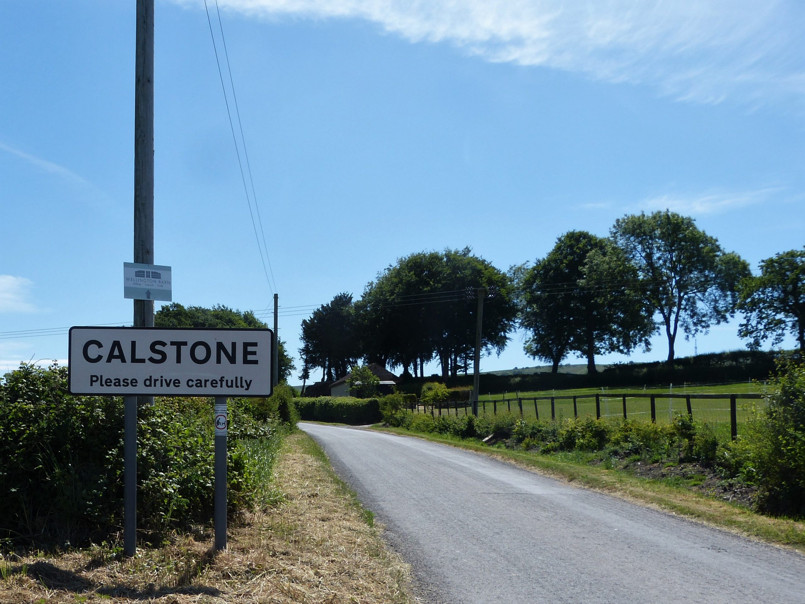
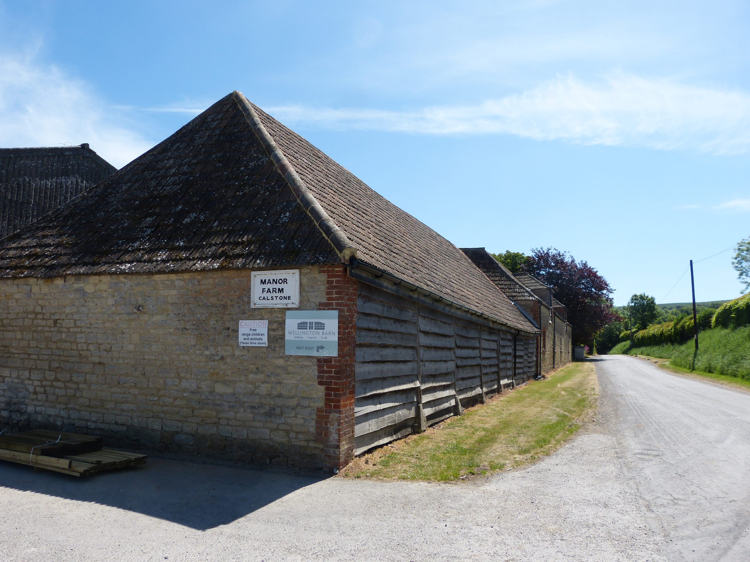
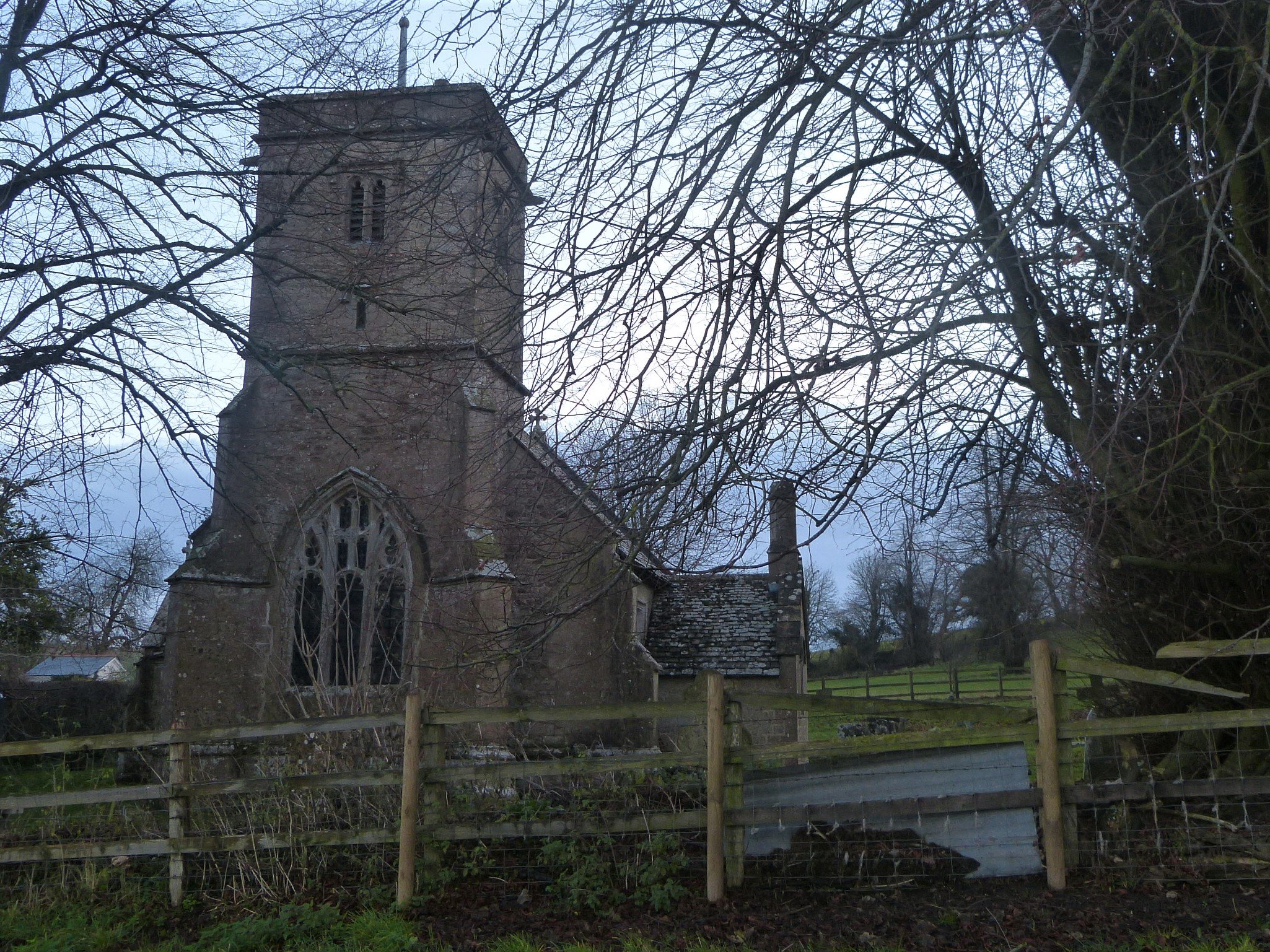
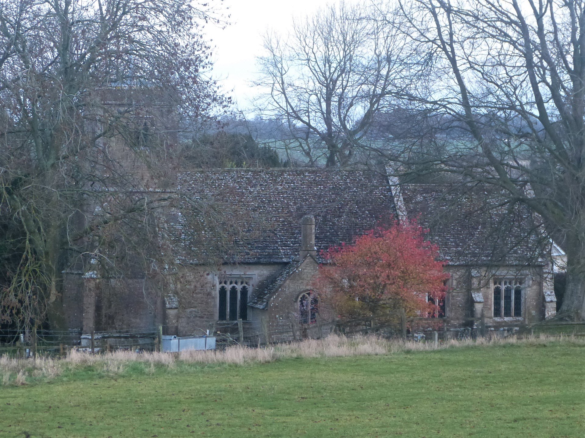

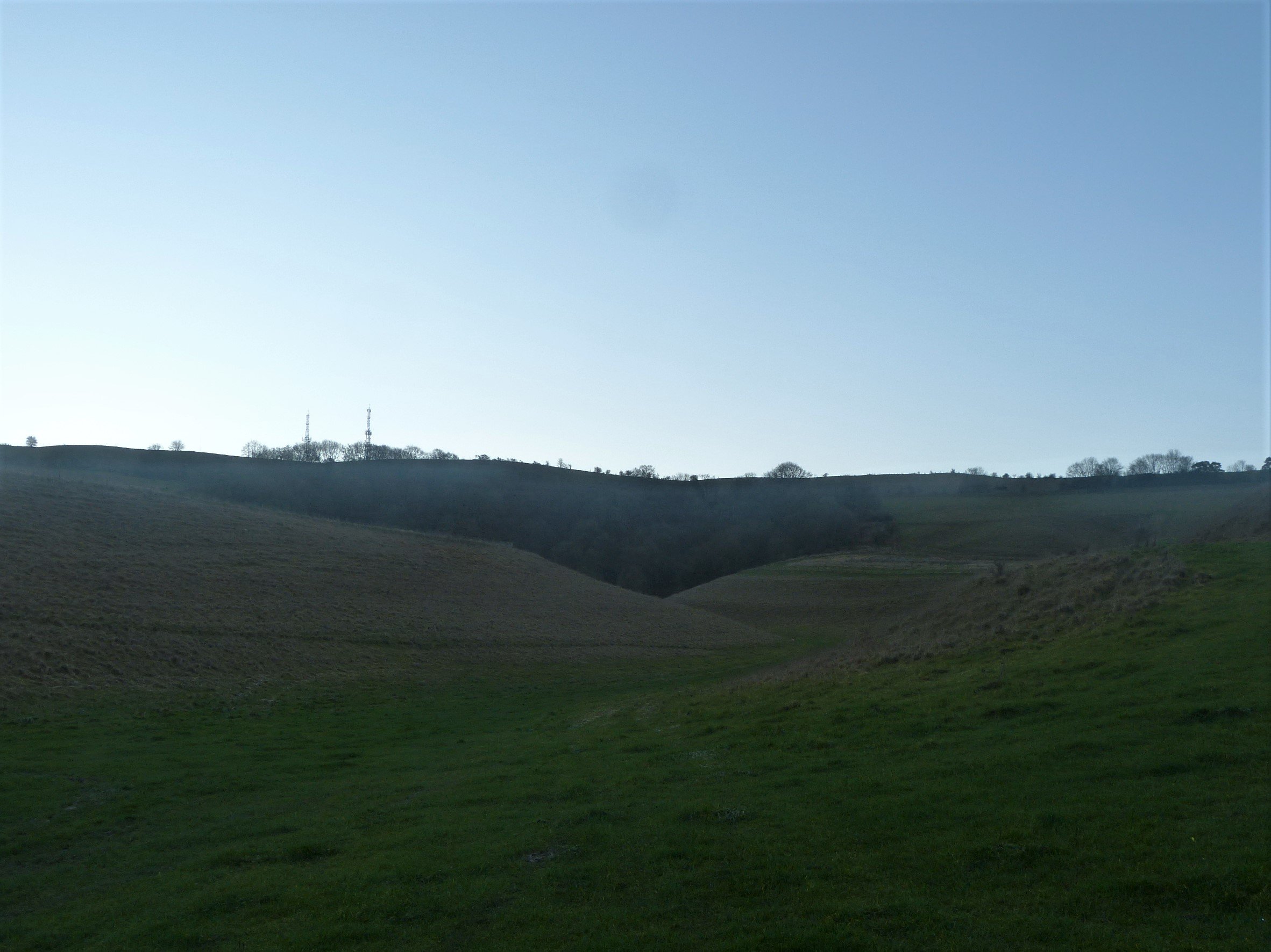
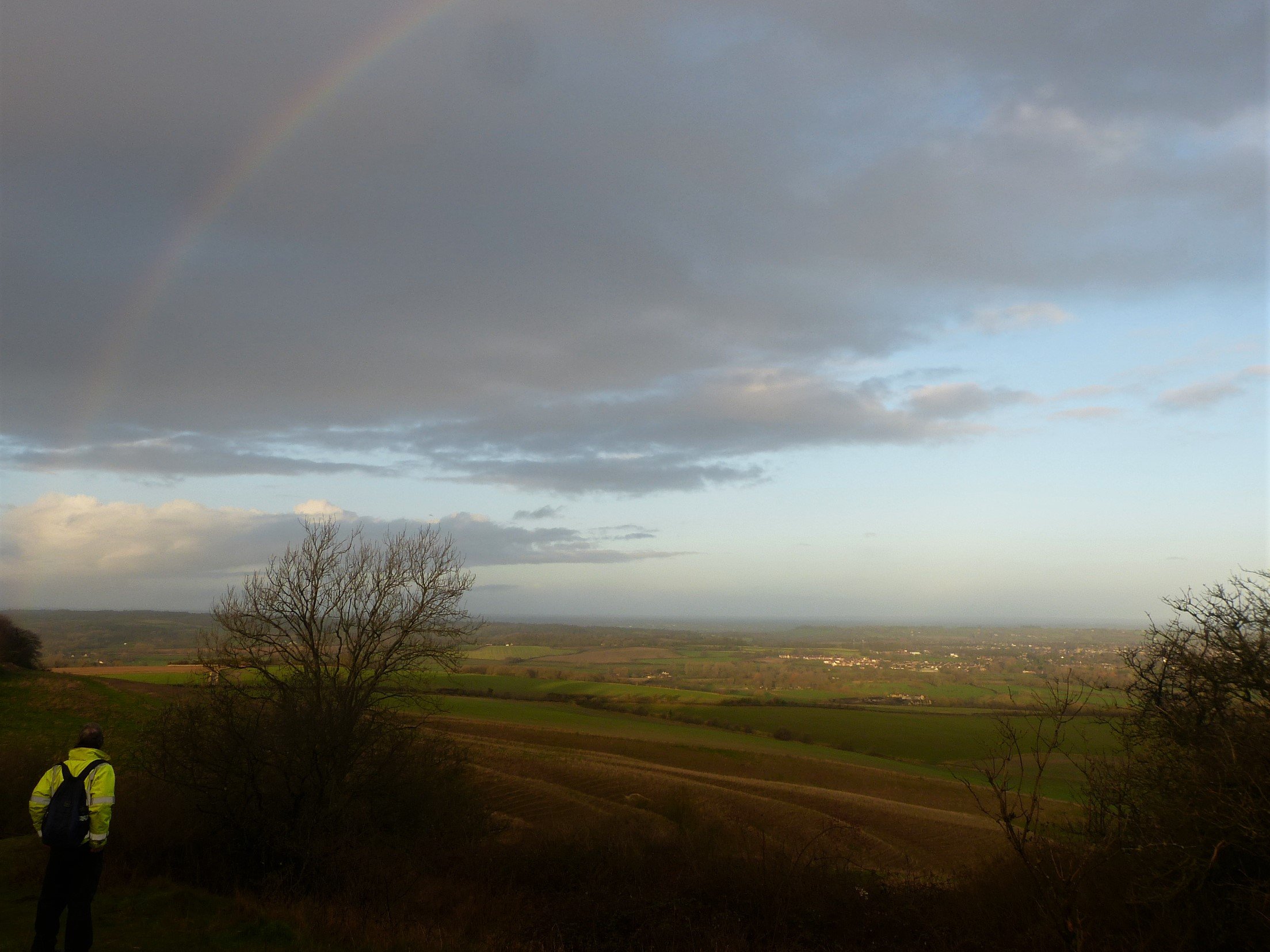
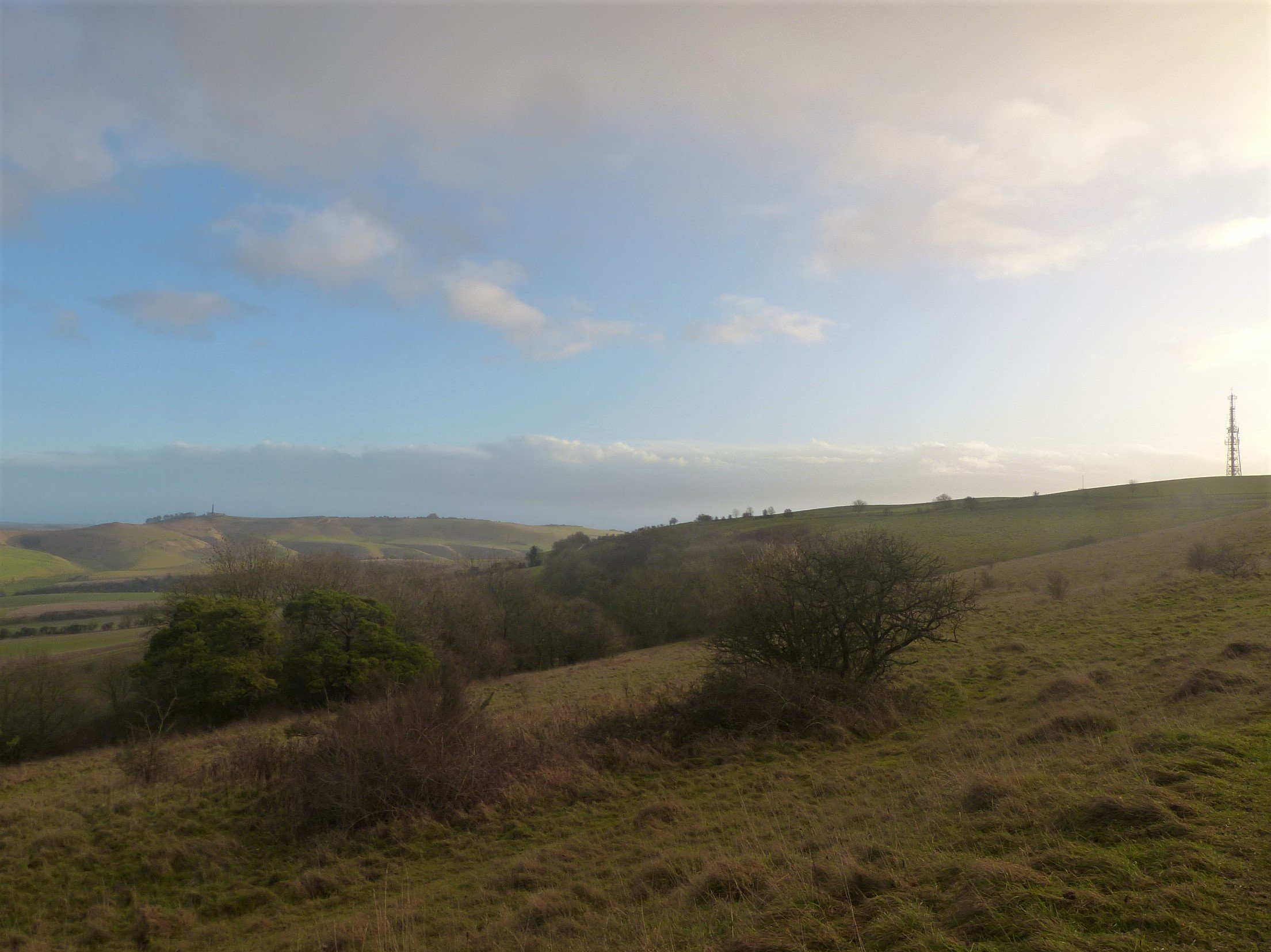
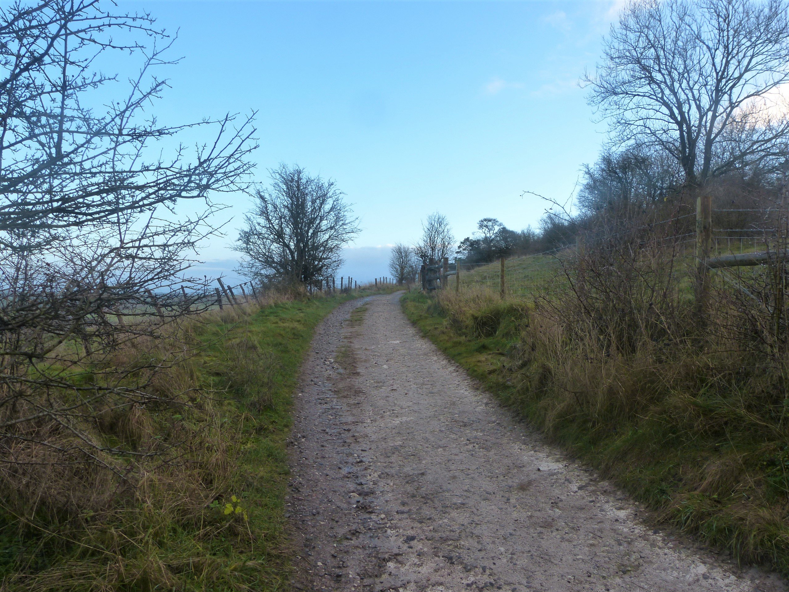


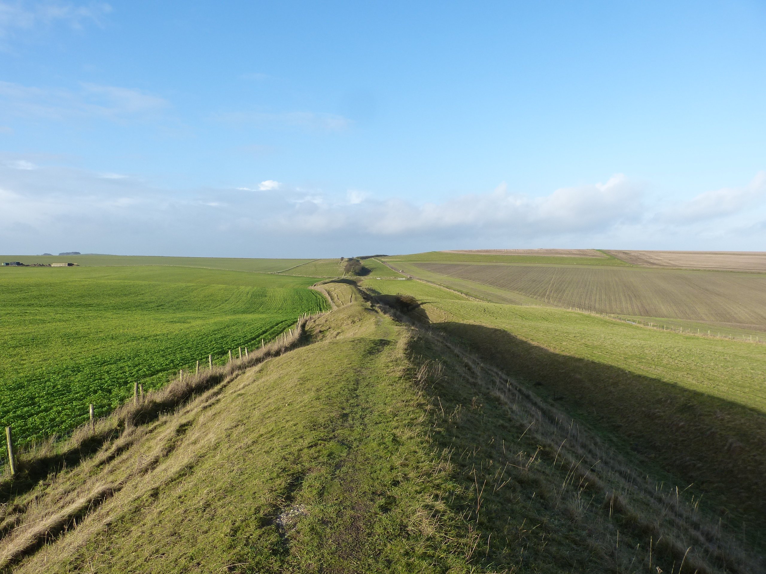


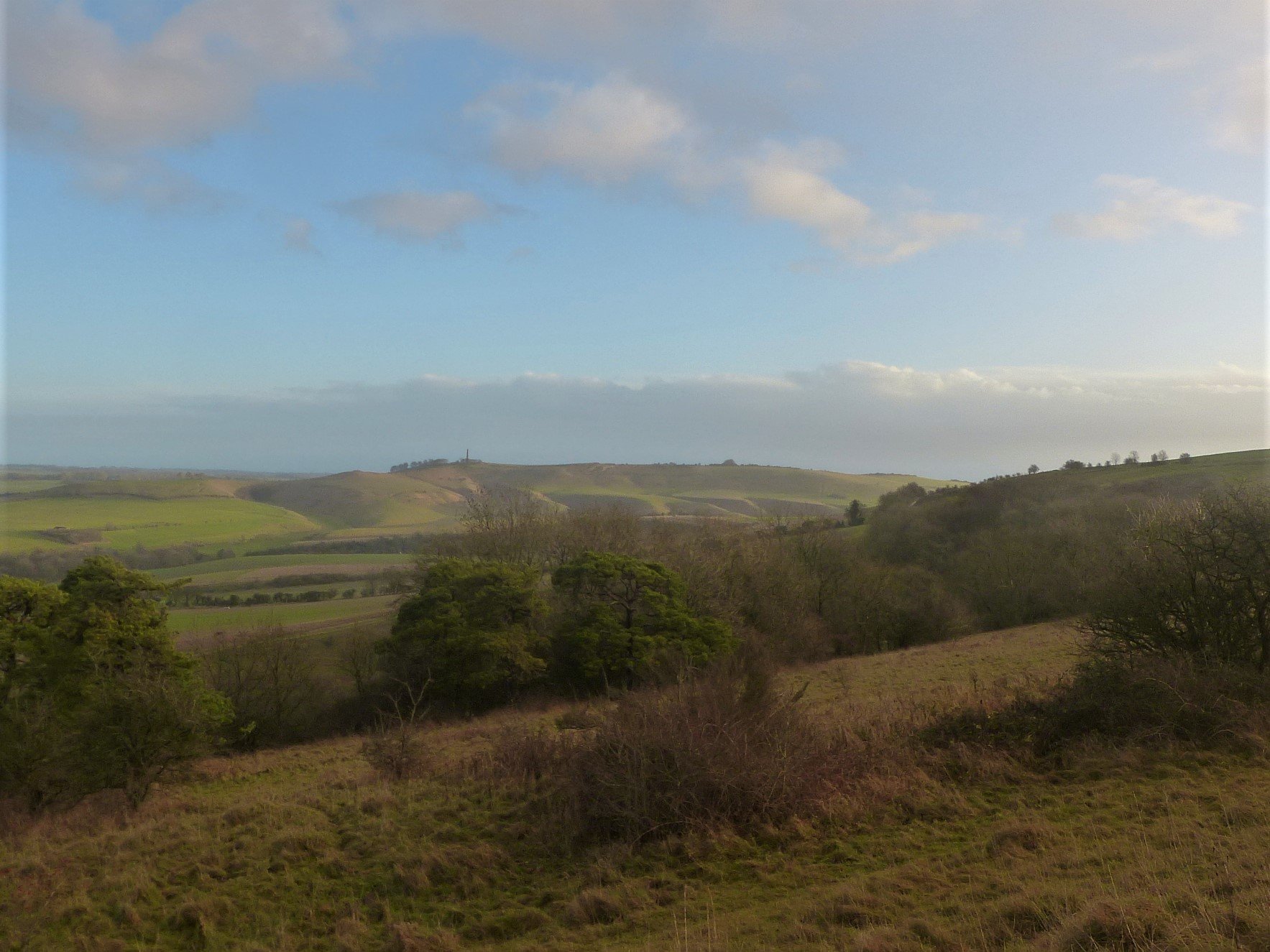
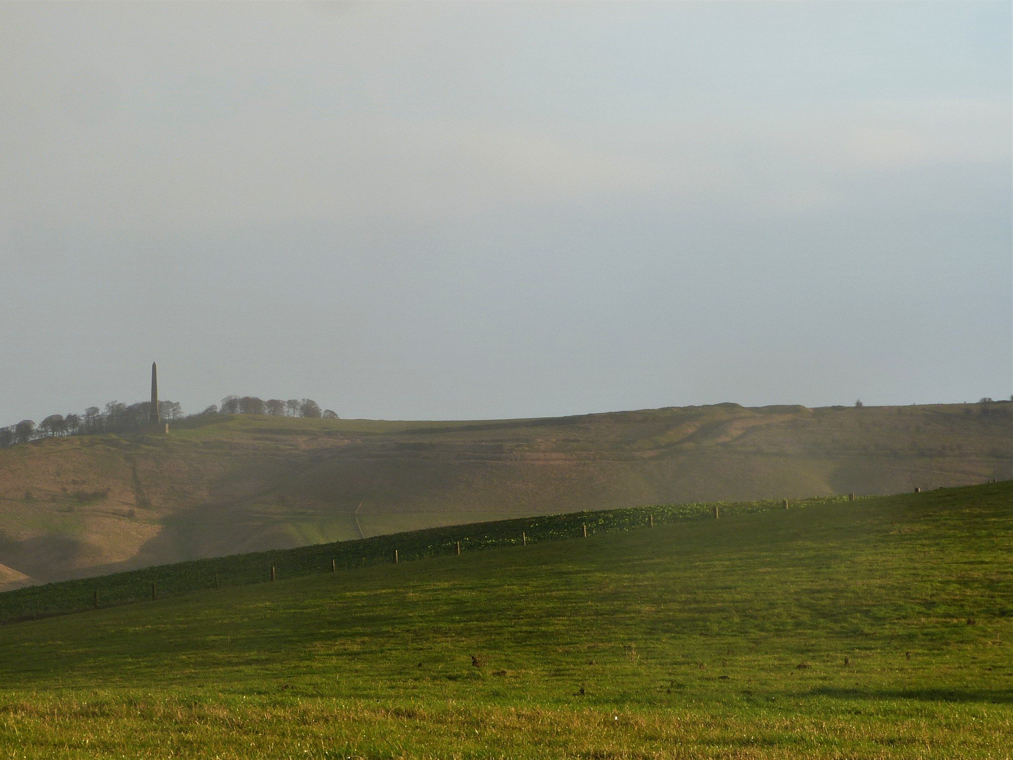

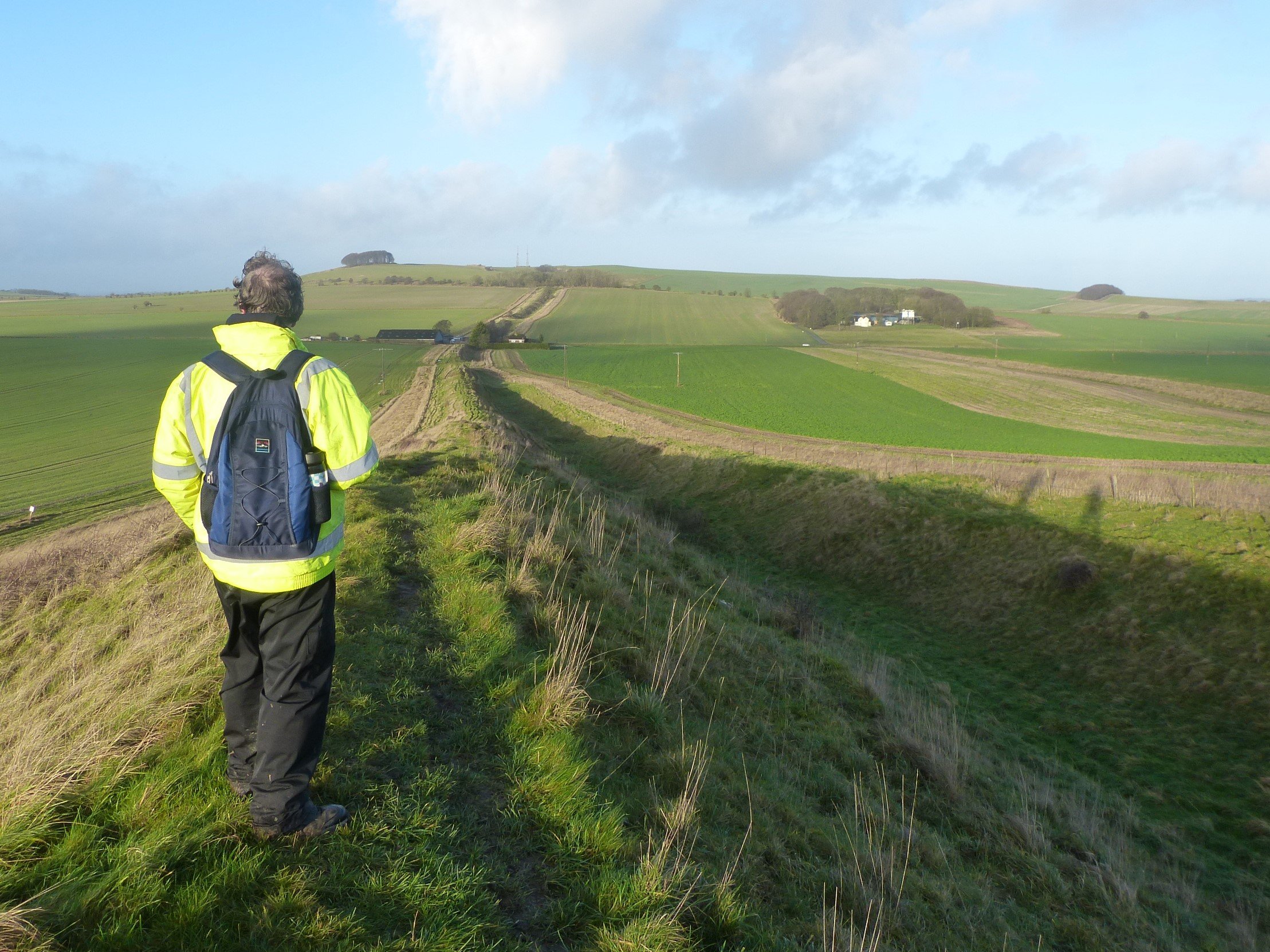
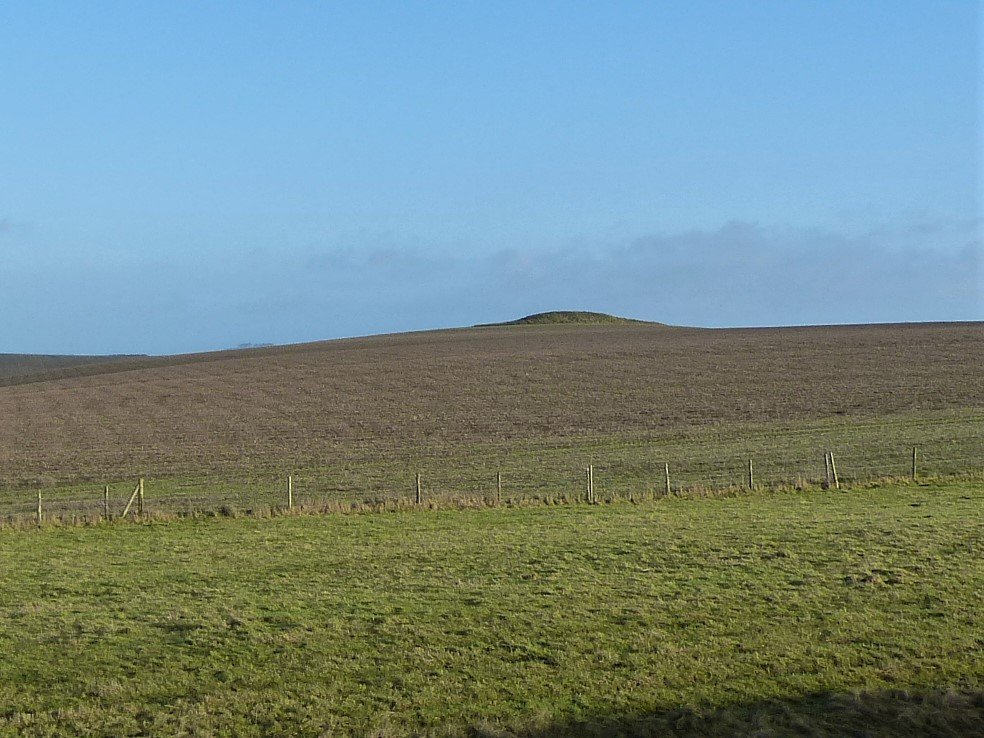
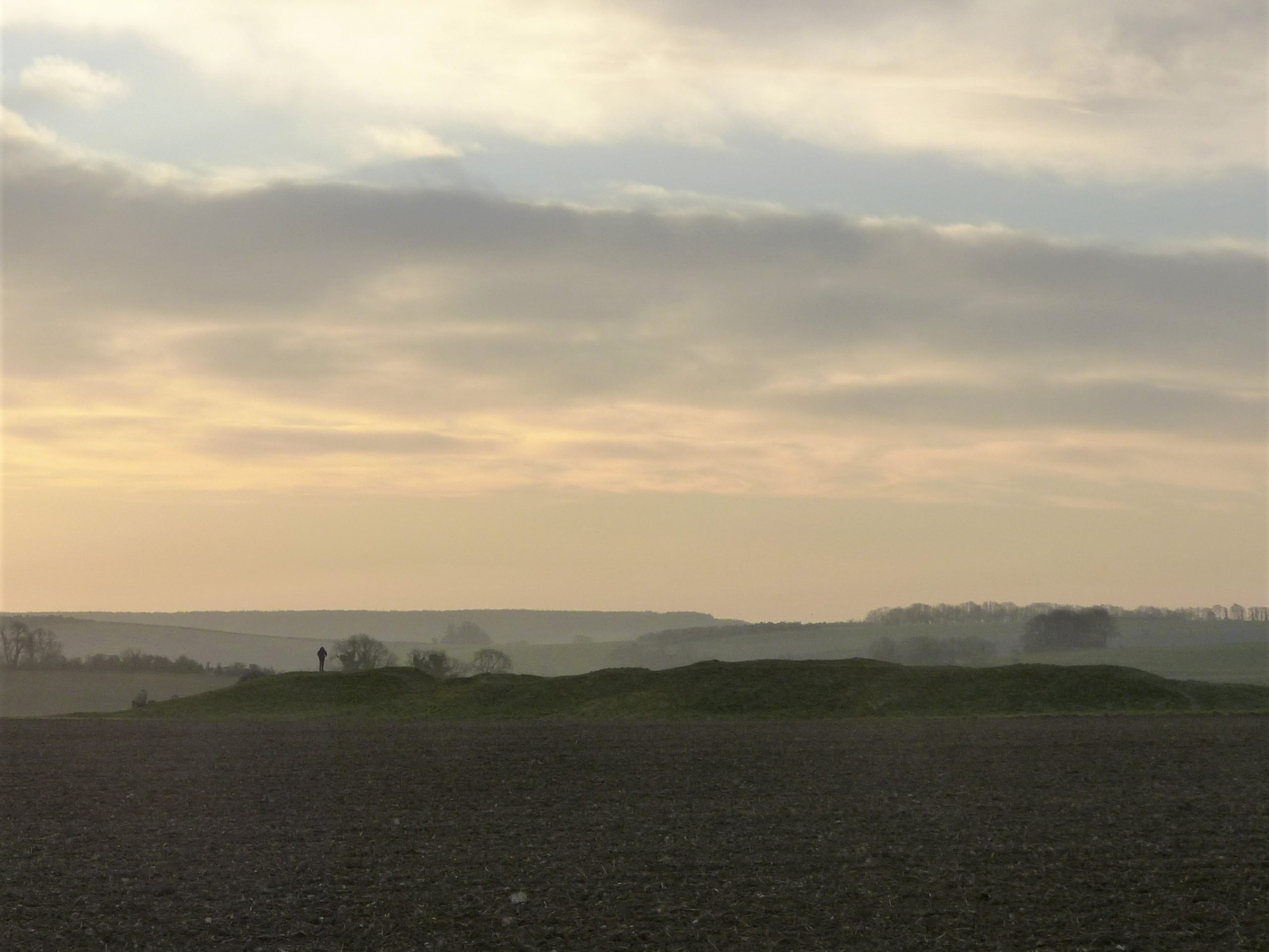
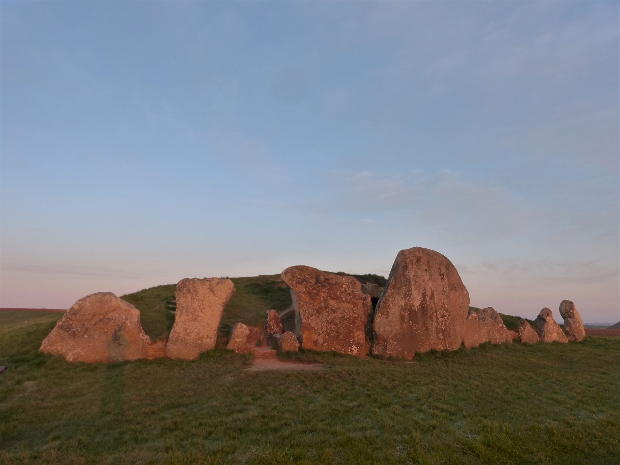

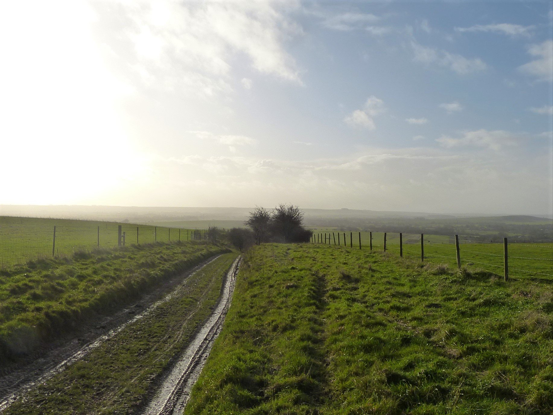

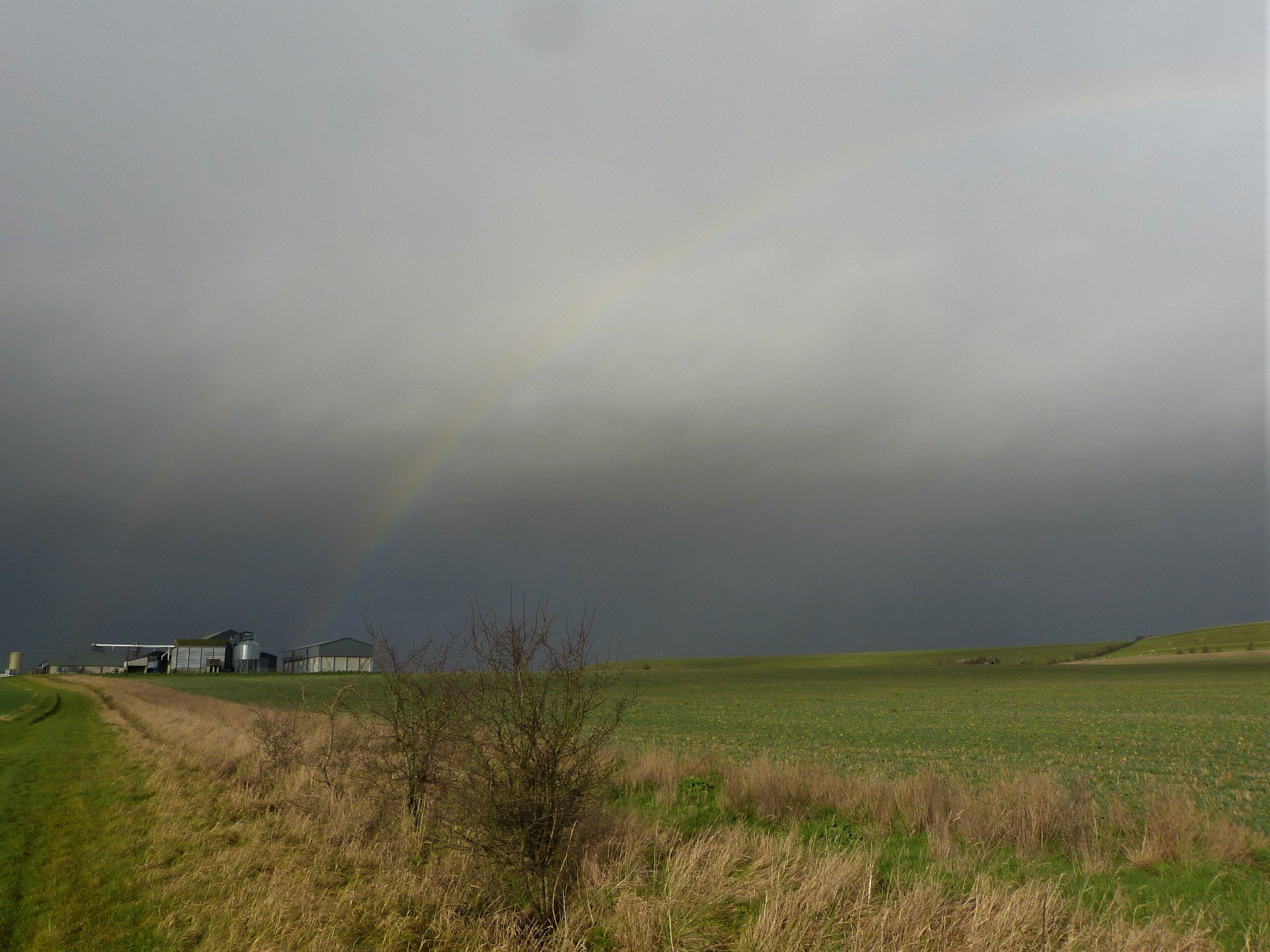
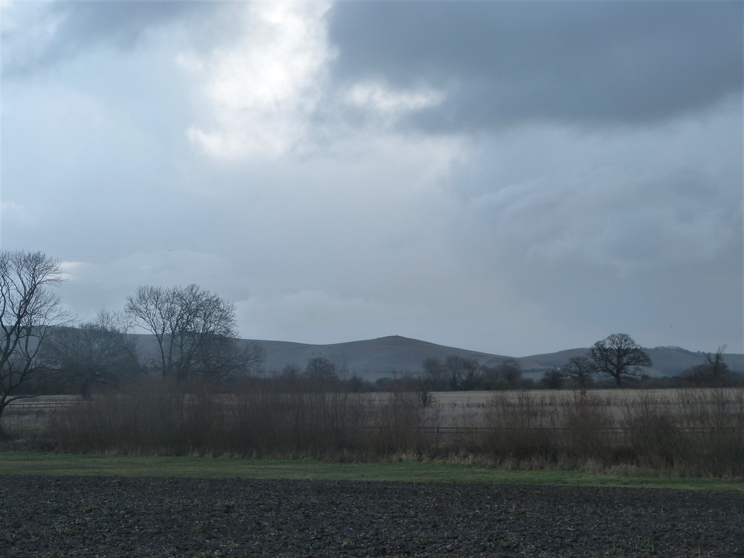
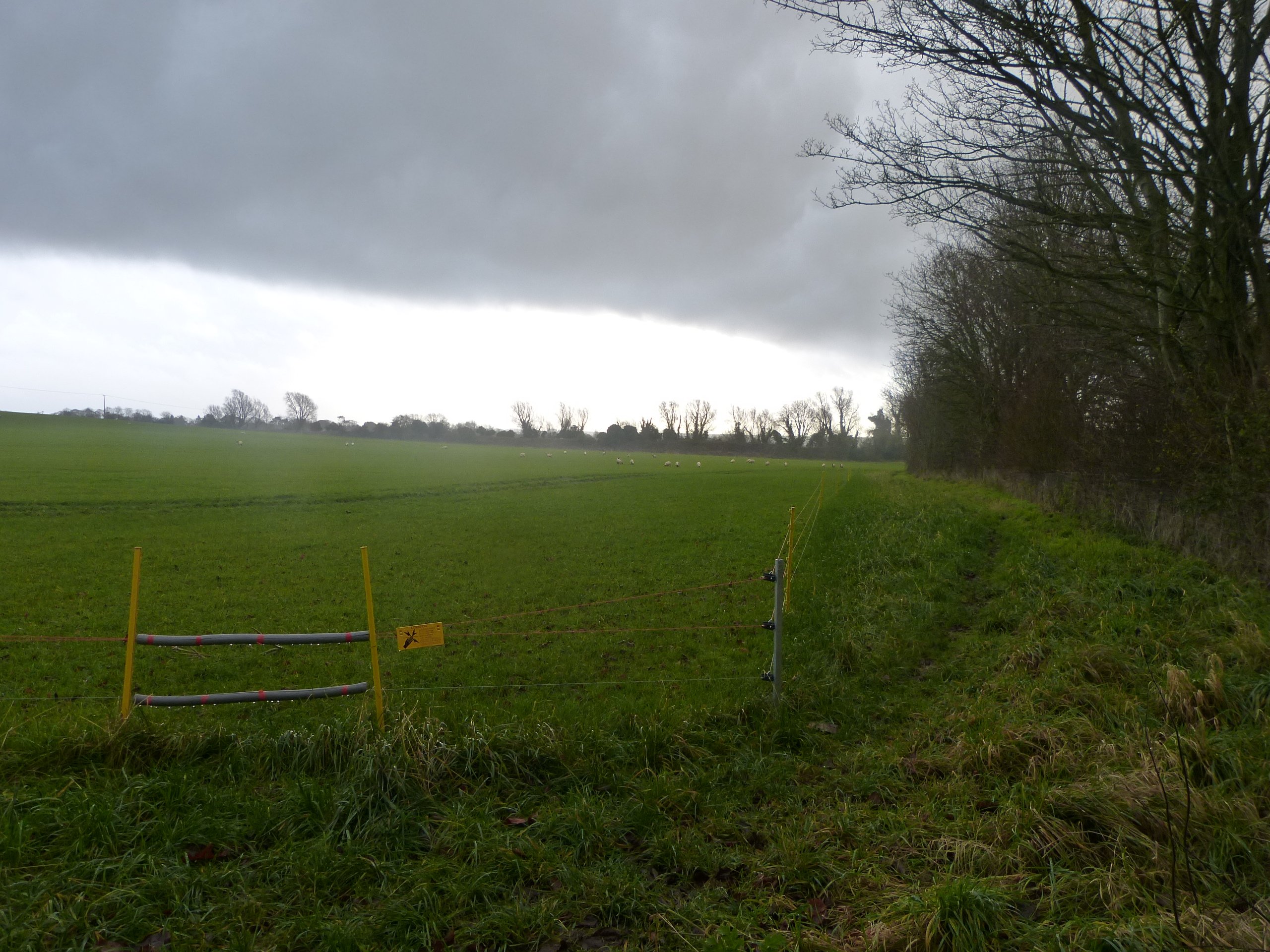
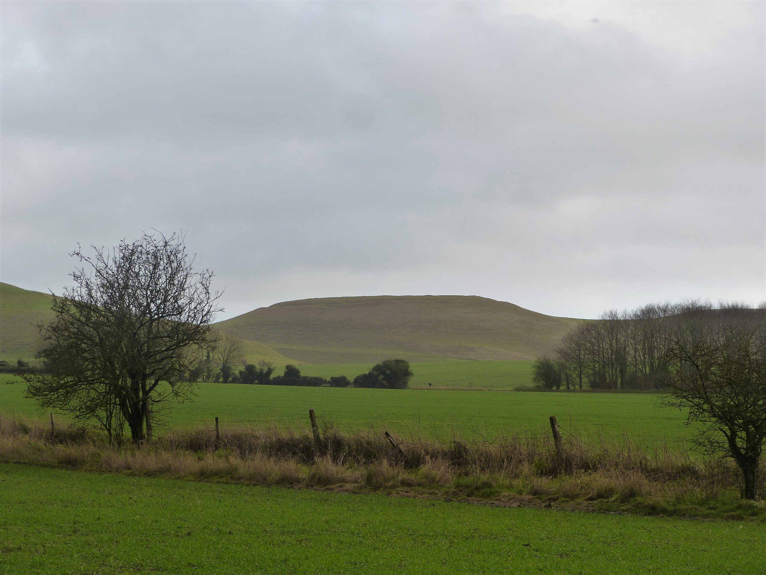

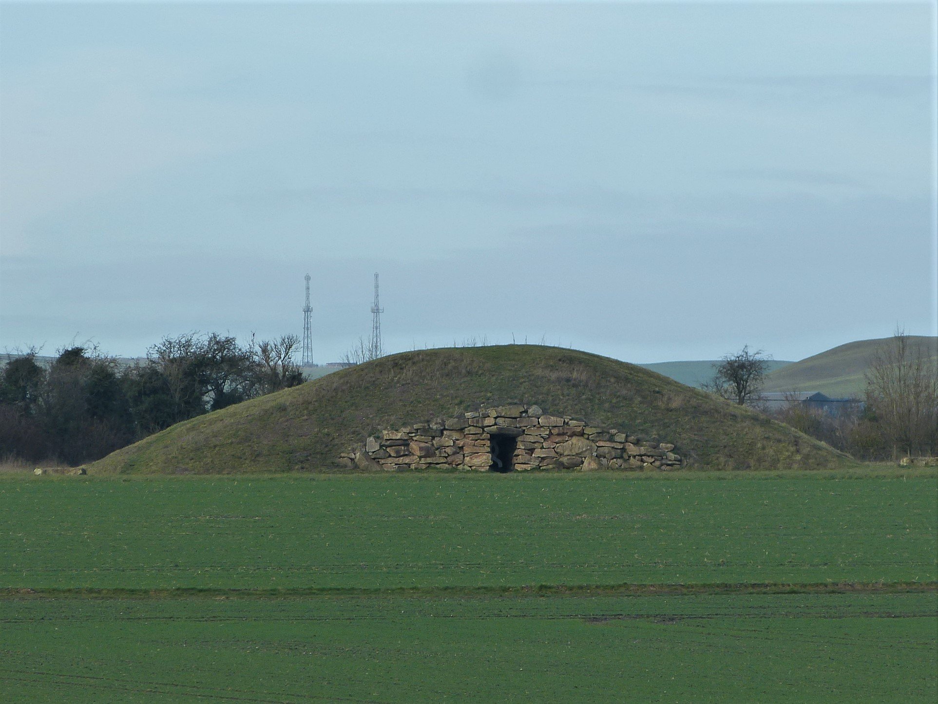

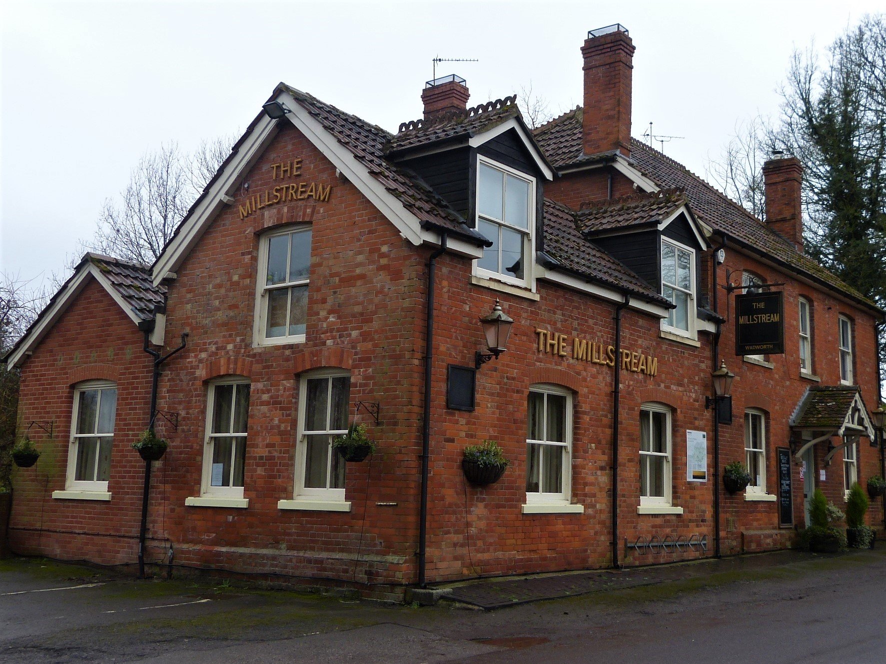
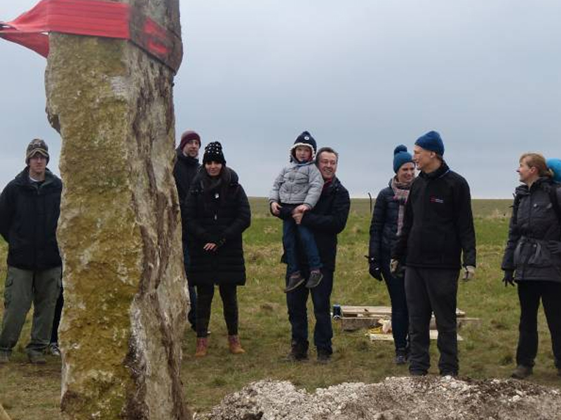
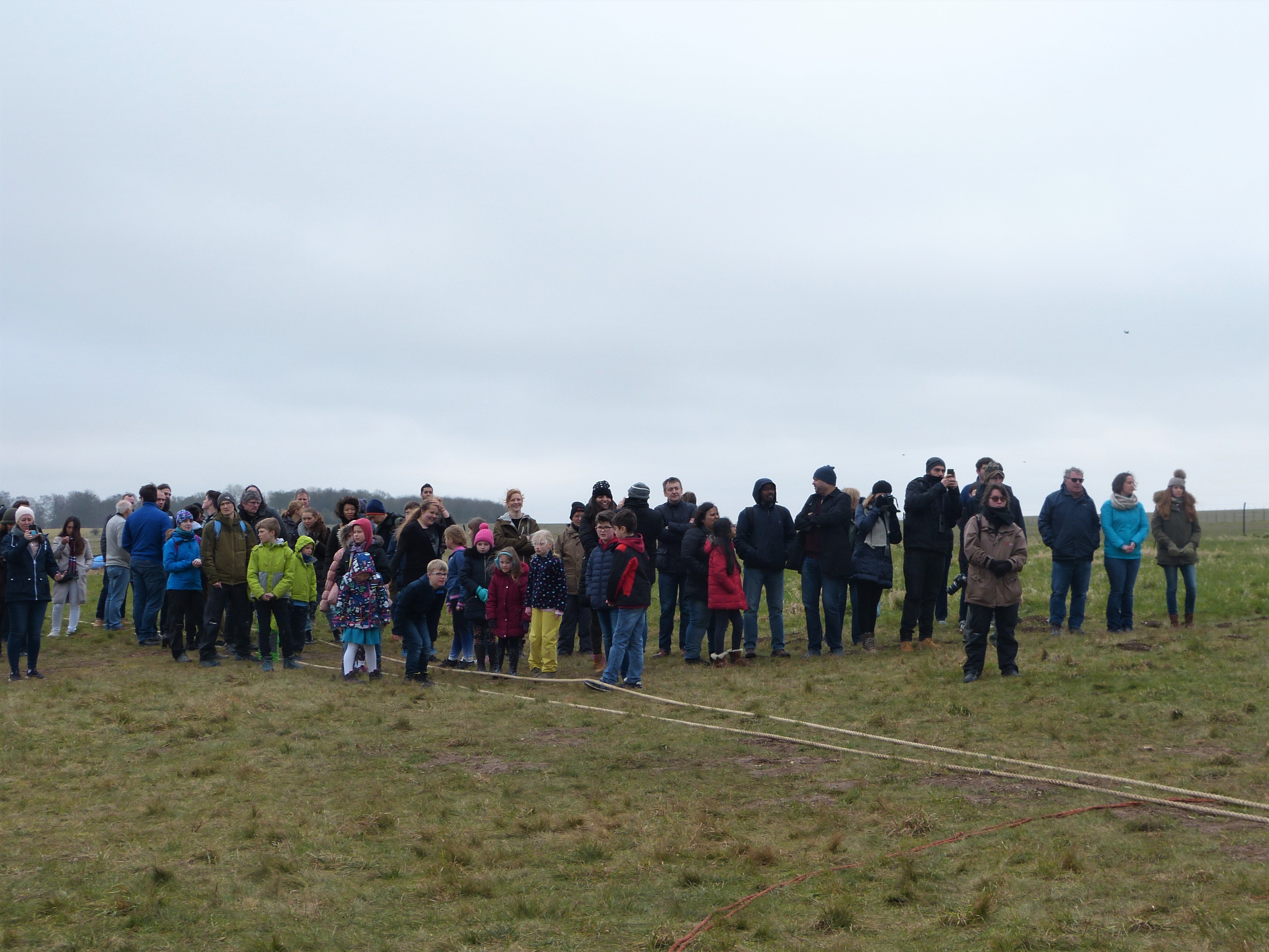
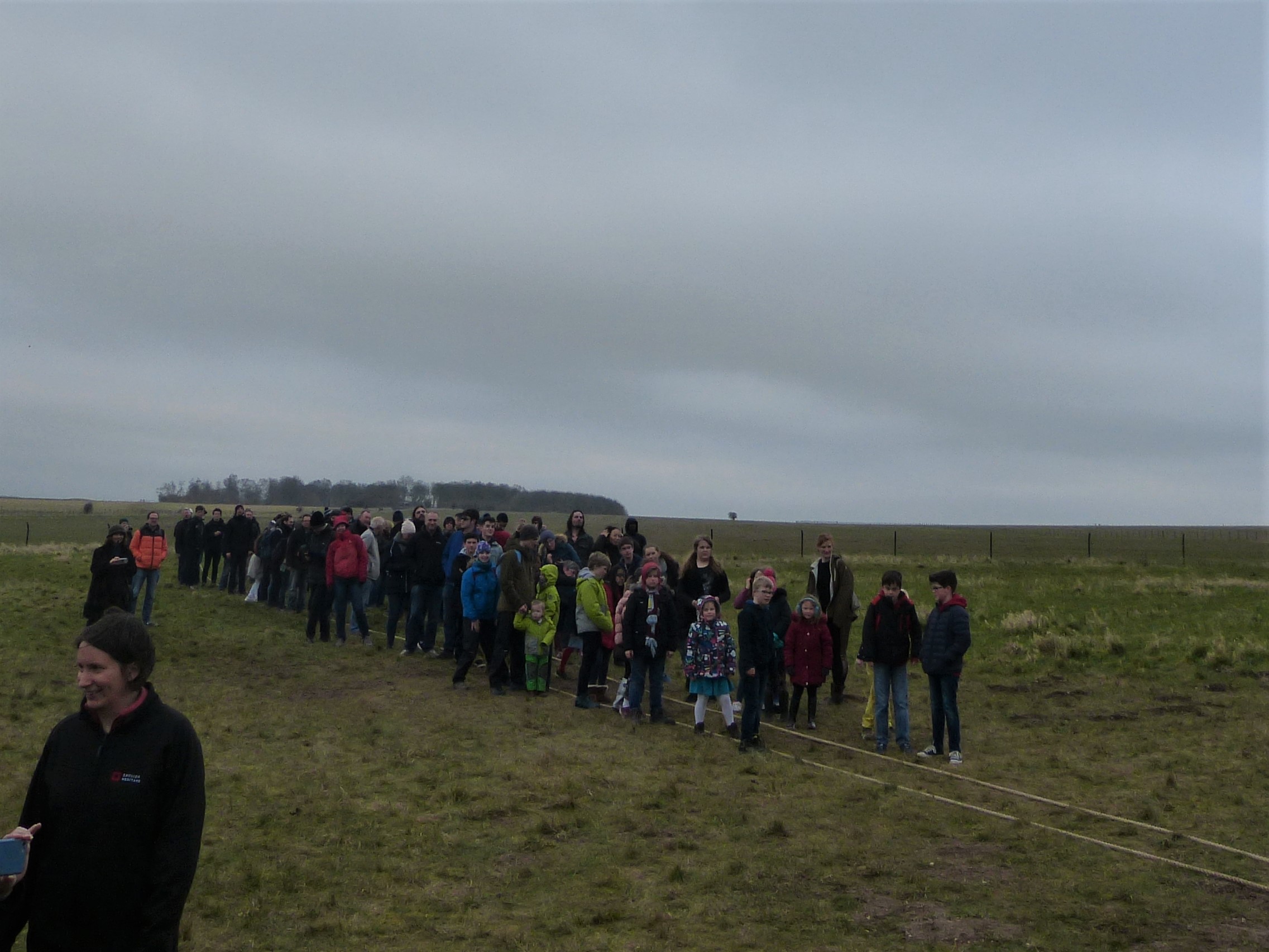
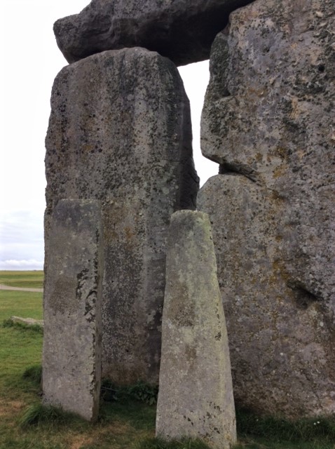
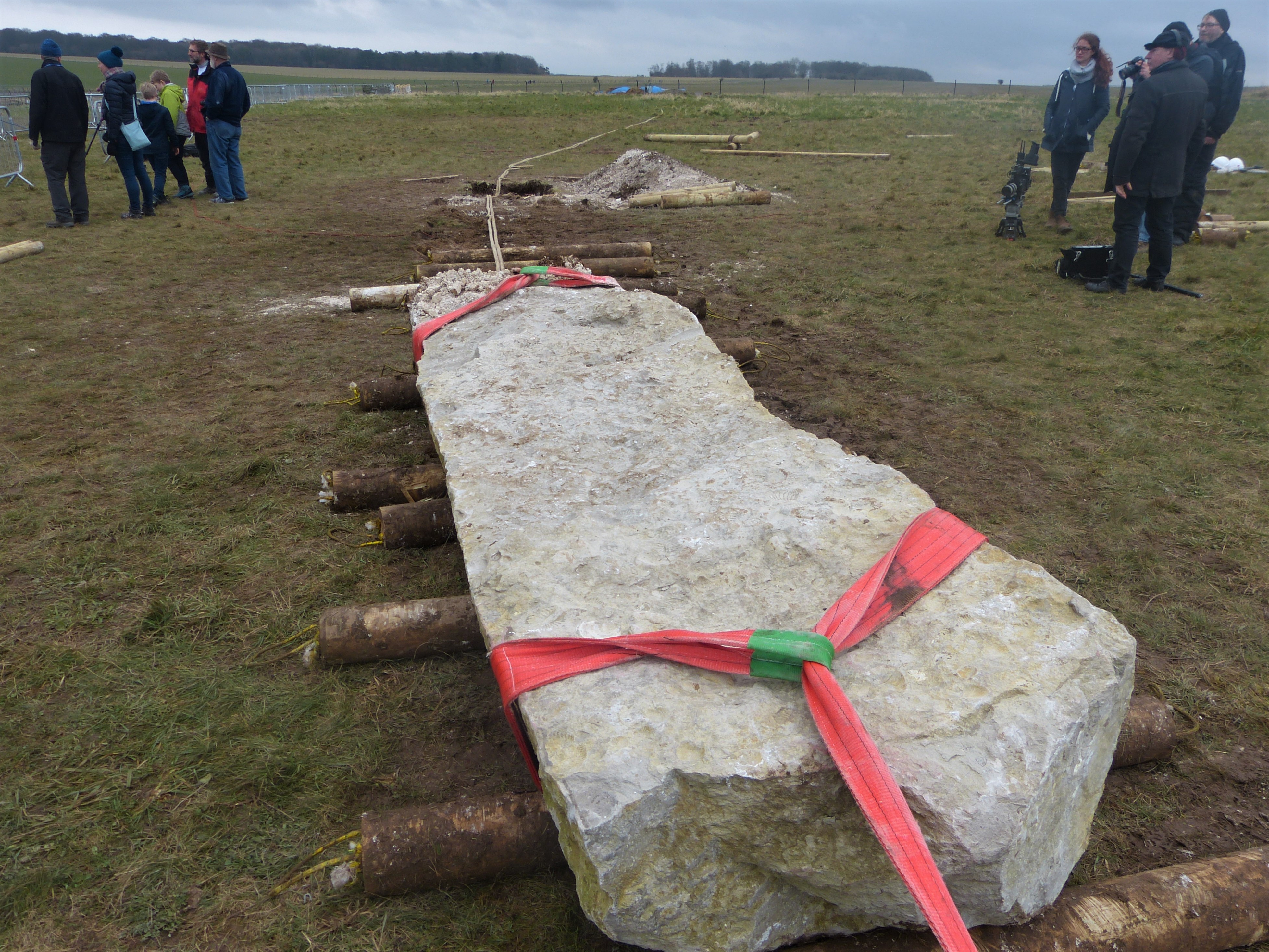
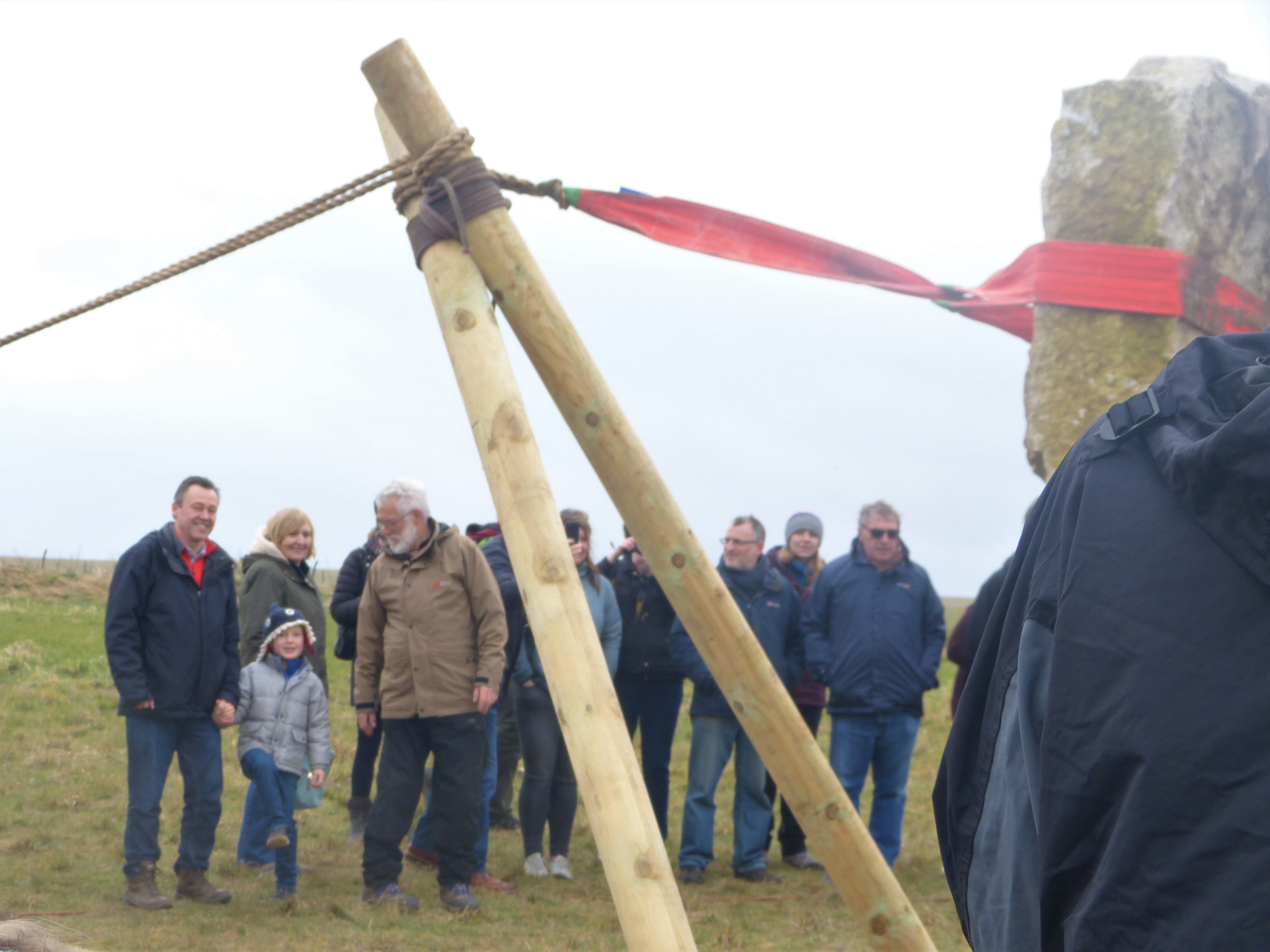
Recent Comments