A walk to Stonehenge through one of the richest archaeological landscapes in the UK.
Part I – from home to lunch in the village of Marden, Wiltshire.
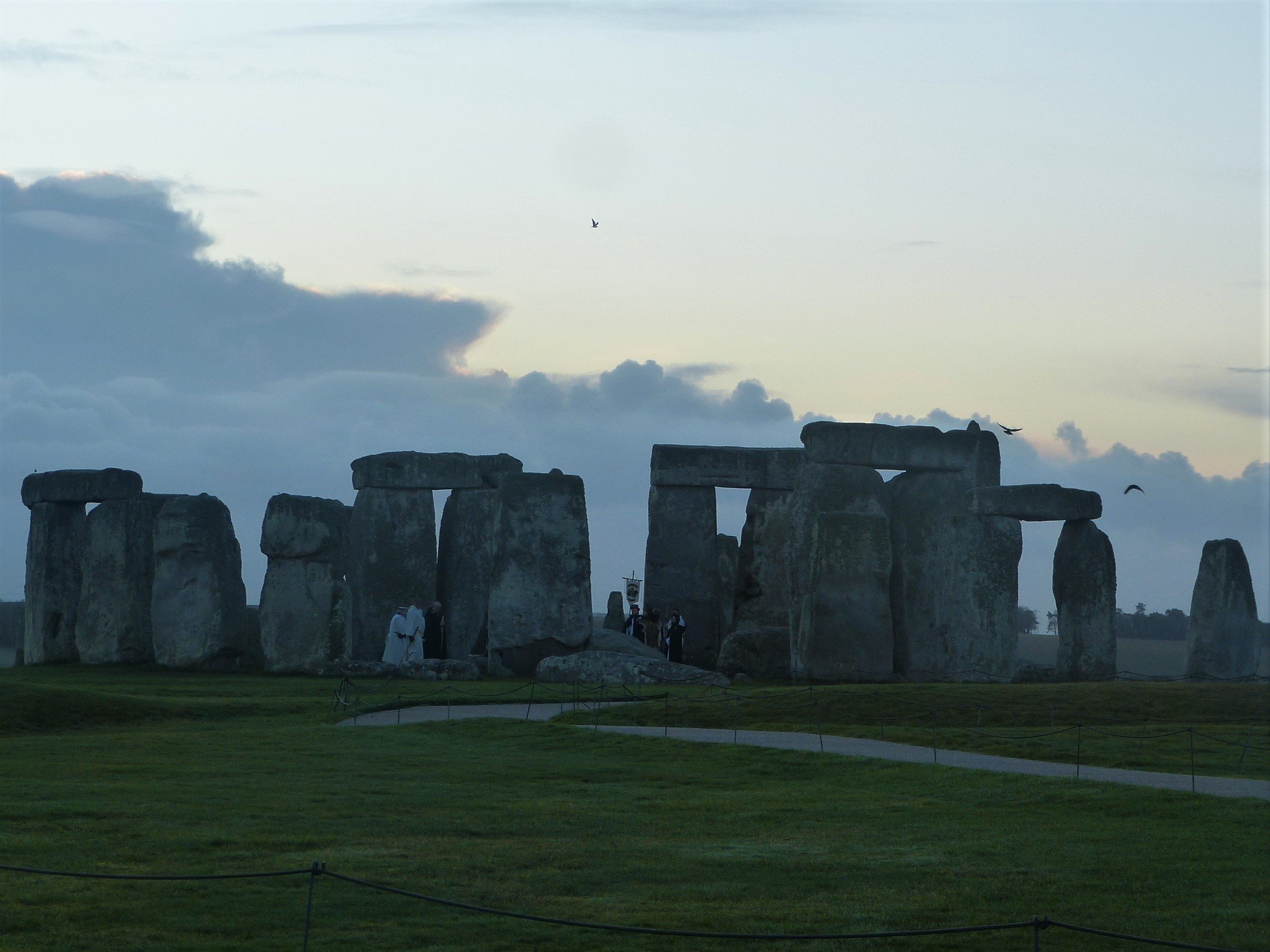
This is a description of a journey, I could even say a pilgrimage, that I have wanted to make for many years. The journey will take me and you the reader through an area that is steeped in the history of every age. My aim is to enable you to ‘virtually’ travel with me through my words and pictures as we cross Wiltshire to arrive for dawn during the Stonehenge Winter Solstice of 2020.
Before we set off I will briefly put the day in context. 2020 was a crippled year that brought global strife and strained our various societies to their limits. For most of us, certainly in the western world, it has been an unprecedented time of fear, suffering and inconvenience depending on where you call home, your age, health and wealth, among many other factors.
Rural Wiltshire, where I happily live, has felt largely remote from the ravages of the disease although people have of course been ill here too. However, the affects of COVID-19 are far-reaching. The disruption to the world’s ability to travel has meant I had a lot of free time from March 2020, months when I would normally have been sharing my passion for archaeology, history and nature with visitors to the UK. I decided to spend this time instead exploring many of the fascinating routes around my home in Wiltshire. I published my explorations as ‘virtual walks’ on my Facebook page trying to evoke the atmosphere of the places I passed by or visited and share some information on their history. Walking alone I was able to concentrate all my senses on each situation in an attempt to give a comprehensive experience to the reader and I hope this produced some enjoyable reads.
Wiltshire is most notably full of ancient sites including some hugely important ceremonial monuments such as Avebury and of course Stonehenge. For some years now I have been aware of the great effort our distant ancestors must have made to get to these ceremonial centres at pivotal times of the year. I have become more and more eager to experience the highs and lows of their pilgrimages and with my lack of work this year I have looked to seize on this opportunity. For the summer solstice in mid June I walked to the amazing site of Avebury, only seven miles from my house, to be there for sunrise at 05:10. This was a rewarding experience even though I was walking through the night on my own and the sunrise hour was cloudy and wet with a driving southerly wind.
For sunrise on the winter solstice, however, I wanted to do something even more adventurous. I wanted to arrive at Stonehenge on foot, a more challenging 28 miles away. Mentioning my idea to a friend back in October he expressed a wish to join me, so I agreed and plans were set in motion. This was to be a different experience in many ways, shared in real time with someone, and the telling of it here will also have a slightly different tone.
So let us begin. I was in charge of the route and had for some time known the general way I wanted to proceed. We would go from our home town of Calne to the edge of the Pewsey Vale, follow the Wansdyke (an old defensive ditch) for a few miles, before dropping to cross the Vale and pick up the route of the river Avon as it flows south towards Stonehenge. We would stop for the night at Durrington Walls, and make our way to Stonehenge the next morning for sunrise. The route would take in many fascinating sites including burial mounds, ancient and modern and, most importantly two ‘henge’ sites. One of these henges, which I will describe in Part II, happily sits at the edge of a village with a fine pub where we would meet our families for lunch and, as it turned out, necessary supplies. Our route was simple enough on paper but in mid winter we only have eight hours of daylight and a proper family lunch stop was always part of my plans. As a result a keen pace would be necessary from the off and we would need to proceed without many hitches.
Before our chosen day, December 19th, I had walked the whole first half of the route up to the lunch pub in Marden. My exploratory trips were mainly to ascertain the feasibility of the route at this time of year. There was a lot of rainfall in the autumn and early winter and I wanted to be sure that we wouldn’t be neck deep in mire. The route, I felt, was long enough without needing any unexpected diversions due to lack of planning.
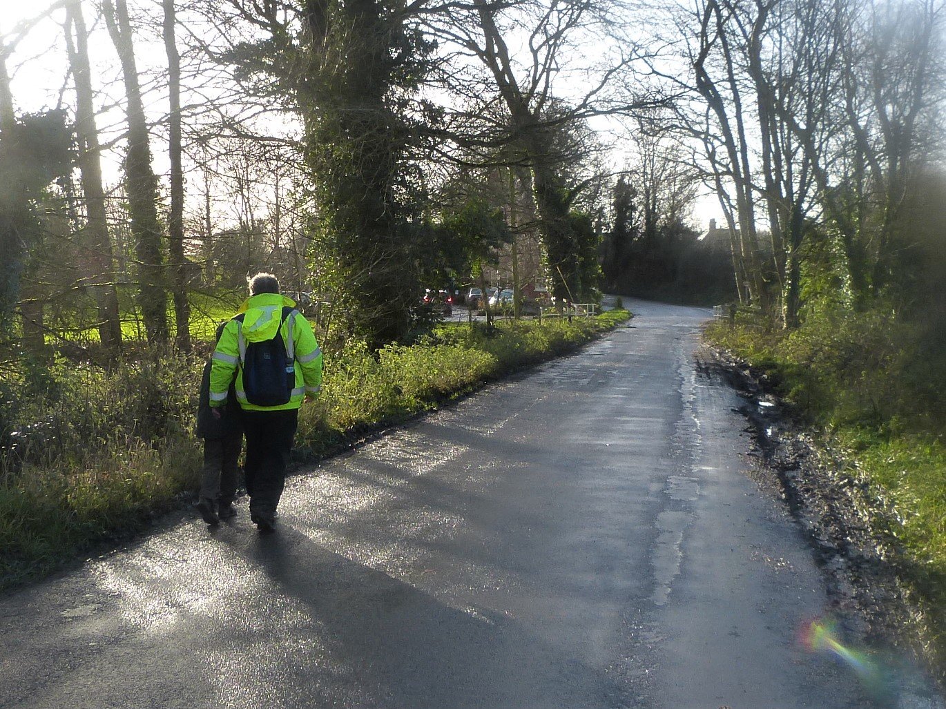
On the day the weather was considerably warmer than I had expected and as a result I donned normal walking trousers that morning instead of the two layers, leggings and waterproofs, I had been considering. A light waterproof jacket covered three thin cotton layers on my top half. My walking partner who I will call Clive, because that’s his name, was fully kitted out in waterproofs including his hi-vis yellow work jacket: we might not be creeping up on much unsuspecting wildlife, I thought, but at least we wouldn’t lose each other!
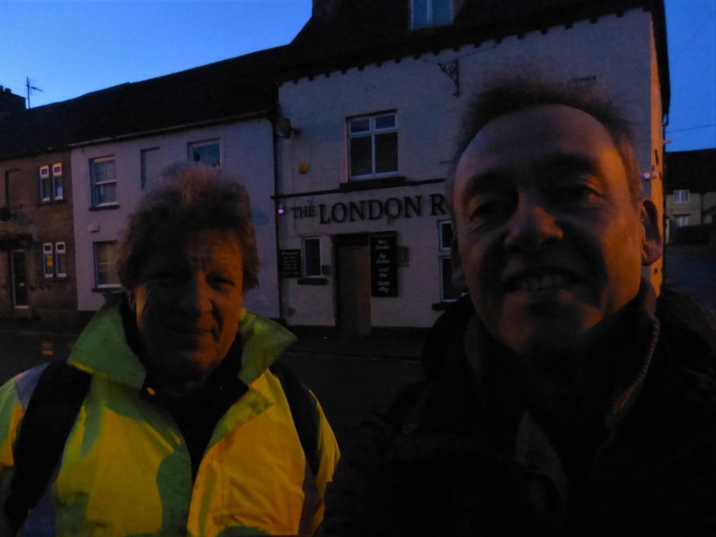
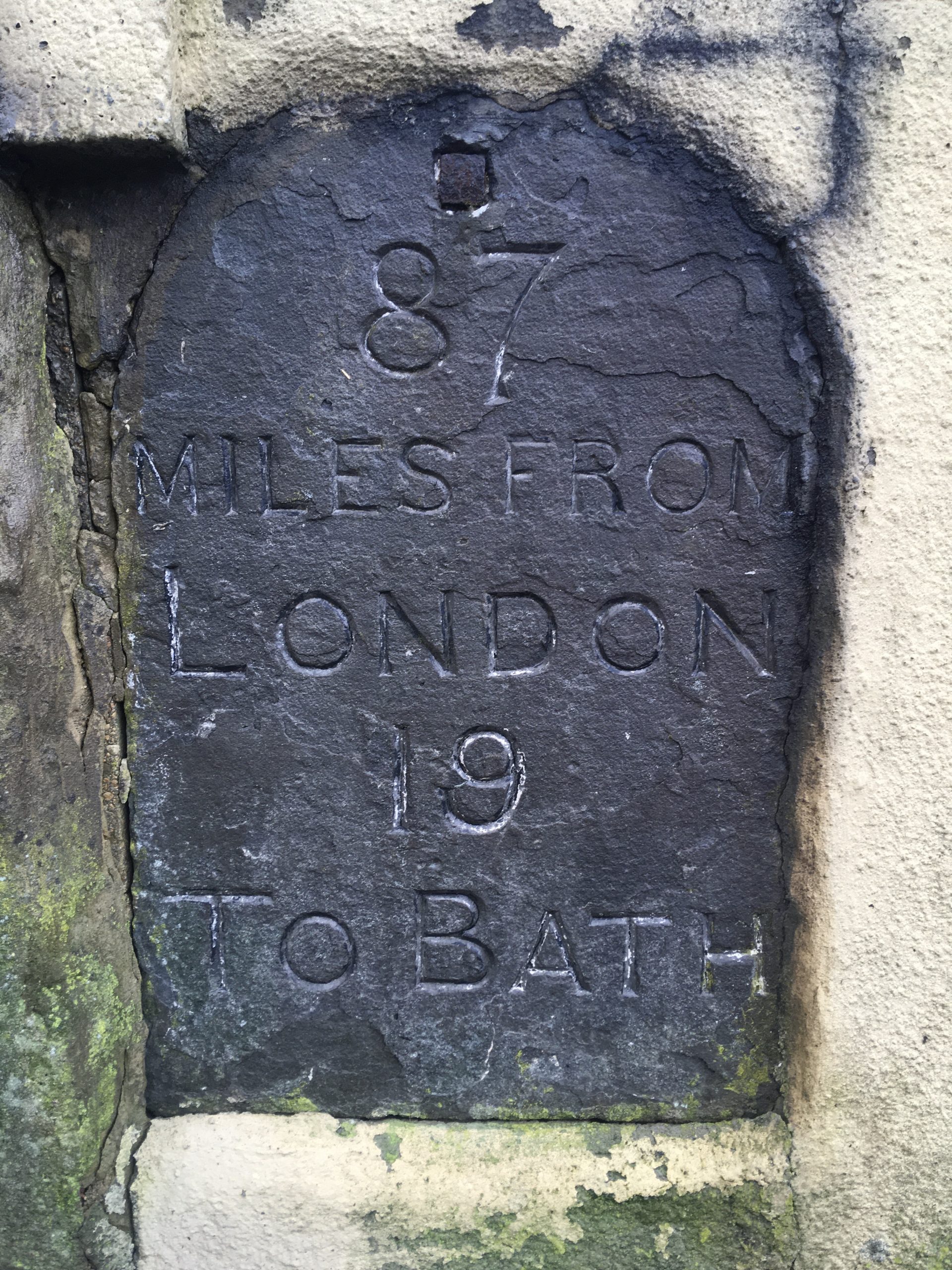
We met at 07:30 appropriately enough outside our local pub, the London Road Inn in Calne. The pub stands on the main road, the A4, that in 87 miles takes the traveller east to London and in 19 miles west to Bath. The ‘London Road’ is more or less equidistant from our respective houses and inside, glass in hand, is where we first met some eight years ago. Since then it has been the site of many a chat, laugh and of course pint of real ale. It has sadly been shut since early November but I have been reassured that, when the situation allows, it’s fine people will welcome us all back.
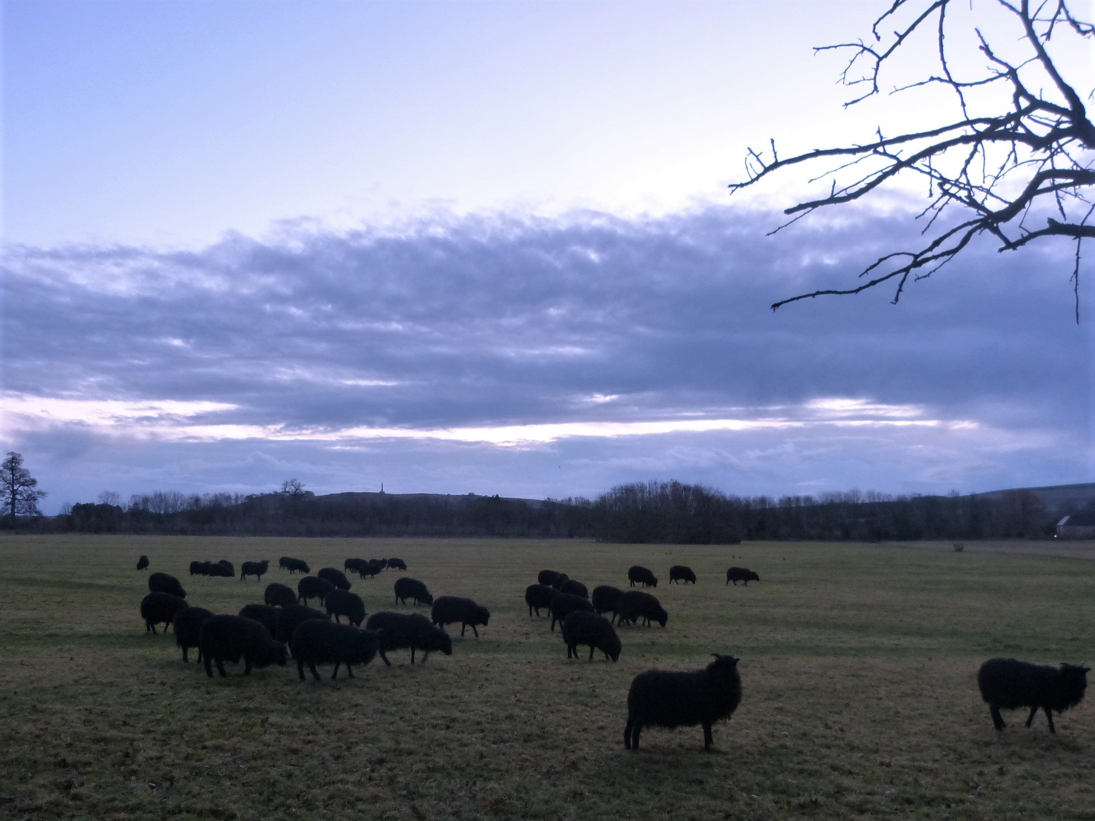
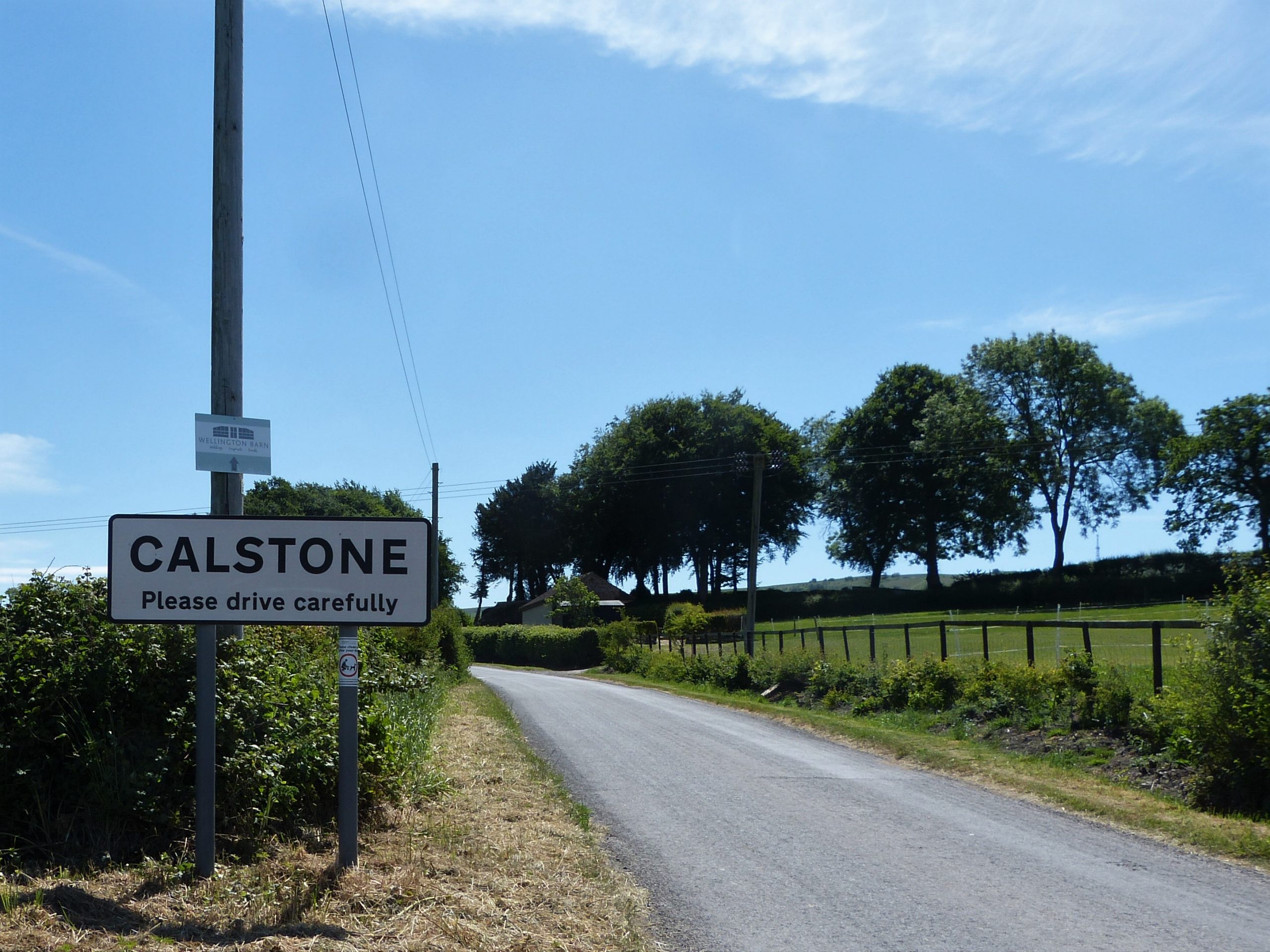
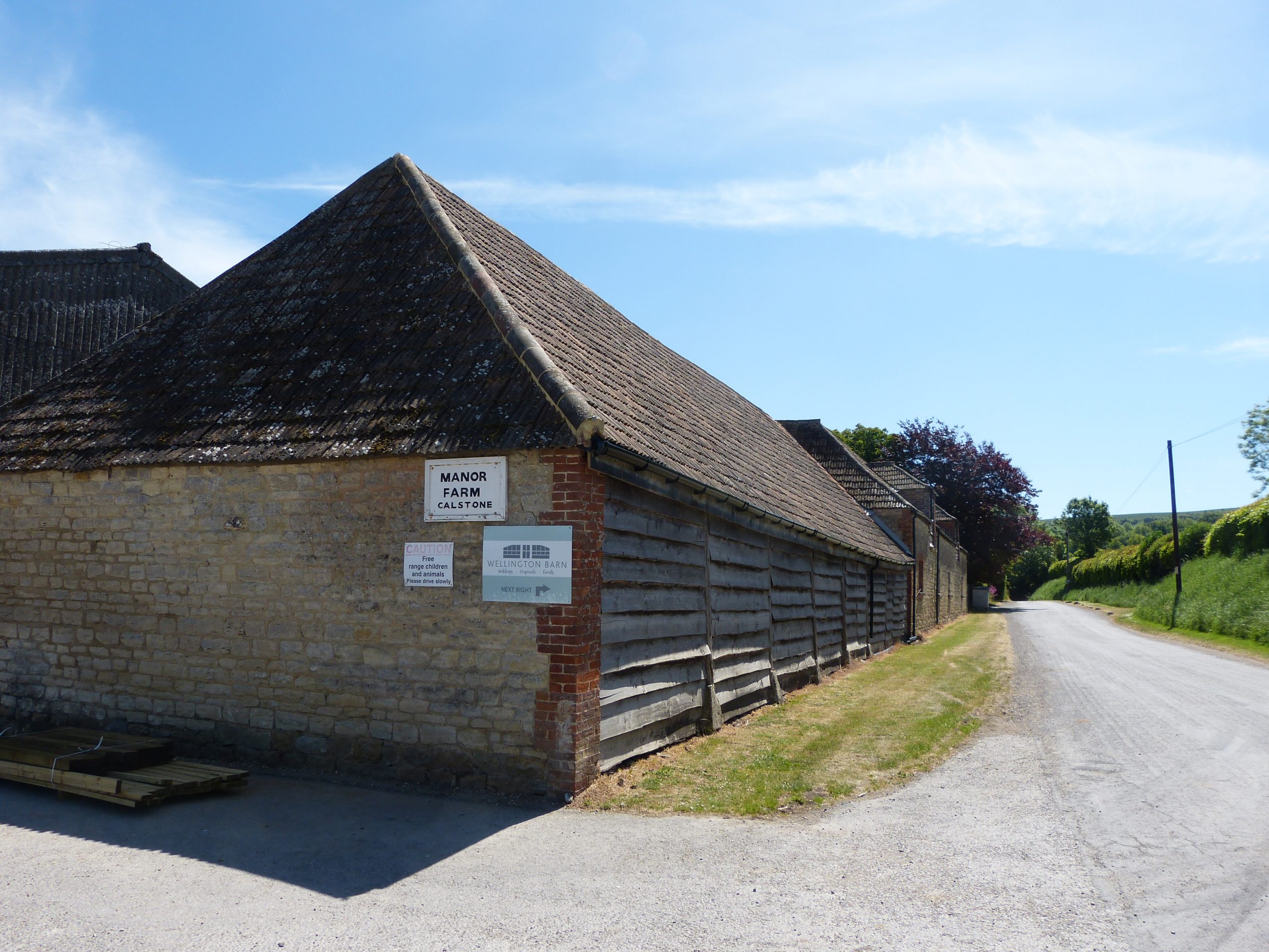
After a quick ‘how-do?’ we set off with purpose into the lifting darkness, straight down the main road towards Quemerford. I had determined that we would spend as little time on roads as possible so shortly we turn off the main road through the parkland estate of Blackland past black sheep and the quaint little St Peter’s church of 13th century origin. We join an old track and make our way south east to reach the main road that leads towards Devizes. Once there, Clive’s hi-vis jacket makes crossing this road considerably safer than I had predicted. Nevertheless we still rather nervously hurry the 100 metres south along the road before we can turn up the more tranquil side-road towards Calstone.
This is a lovely lane and a gentle rise begins almost immediately, a gradient that will take us up increasingly steeply to the top of Morgan’s Hill. Clive used to work these lanes as a ‘postie’ delivering good, bad and indifferent news through the village letterboxes. He mentions, as we pass through, that Calstone used to be known as ‘the colours village’ due to the number of families with surnames like White, Grey, Brown or Green – I love these titbits of local history. We pass some very attractive houses; one, grander than the rest, was the family seat of the Maundrells who owned the iron foundry on the river Marden in Calne.
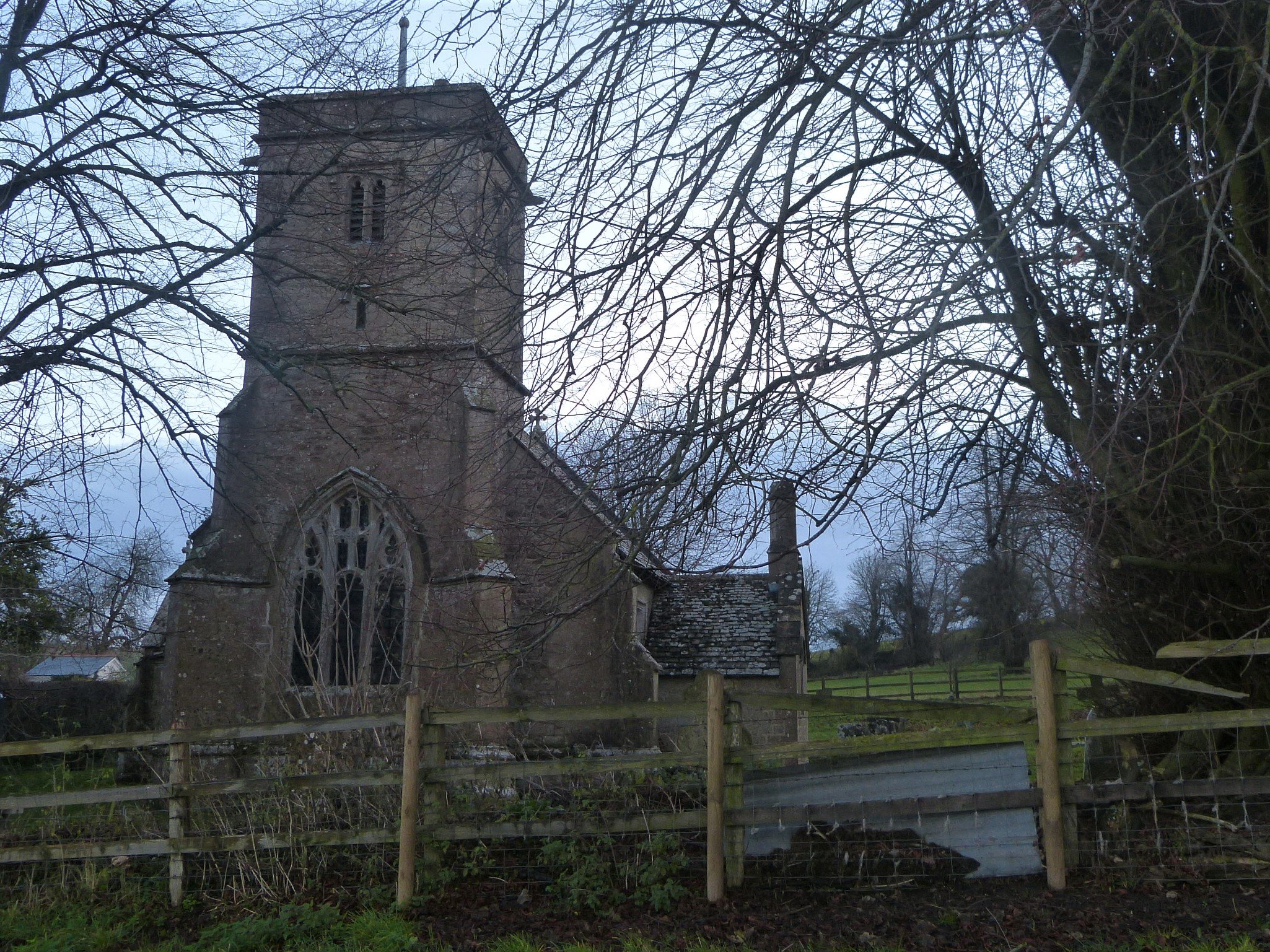
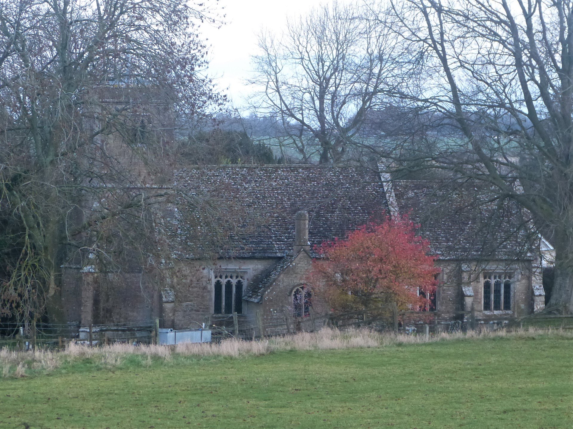
As the way ahead forks, we take the right tine and cross the deep ditch cut by the stream coming off the hills. The road is heavily embanked to bridge the rushing rivulet where once it must have dived down steeply and returned up the opposite bank. Shortly we turn off right to continue our way up past the ancient village church of St. Mary’s, choosing the gate instead of the stile to gain access to the fields.
Ahead of us lies Morgan’s Hill and with our first objective in sight we start to walk eagerly, first through small pastures where bright sheep enjoy the moist grass below rough naked oaks, then around the border of a short-stubbled arable field. We pass muddily through a gate to climb the grassy edge of Horsecombe Bottom where, in summer, a herd of black cattle graze. Through another gate a finished crop of maize has been left standing in a long strip to provide cover for game birds. Had we walked this route yesterday, Clive assures me, we would have been diving for cover along with the partridge and pheasant: he saw beaters out on this very hillside 24 hours earlier. It is fortunate that we and the hunters didn’t choose the same day but all around us is evidence of this country pastime: breeding pens, feeding stations and hide-and-seek crops.

The route steepens again and we are now noticing the effect on our legs and bodily functions – hearts and lungs that is. Eventually reaching a gate at the top we look back at Calne and our hour and a quarter’s walk – the day’s first stage complete. ‘It isn’t all like this’, I reassure a panting Clive. ‘Good!’ is his reply. He is the first to admit that tobacco smoking and hill walking aren’t good bed-fellows. Actually we do have a bit more of a climb to reach the antennae-prickled heights of Morgan’s Hill but after that the way to lunch is mainly level or downhill.
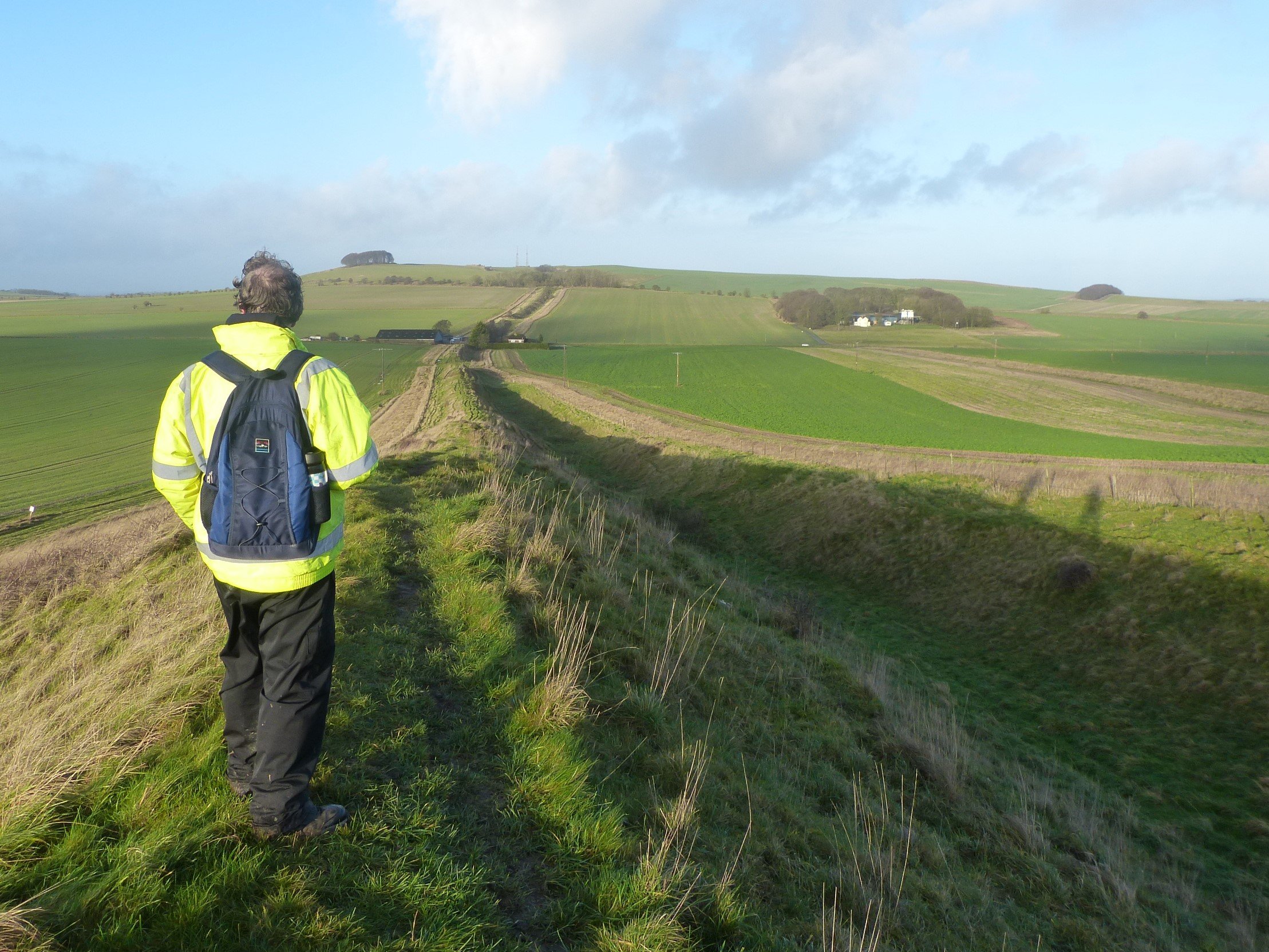
Where we stand, catching our breath, has been an important meeting of the ways for centuries. Ahead of us up the hill runs the ancient Wansdyke, 500 metres to our right is the long-established road now taking modern traffic south out of Calne, and running below our feet on its way east is the old Roman road, now just a footpath, that once took travellers all the way to Londinium. How many people have stood on this spot over the centuries, perhaps sharing a few words with a traveller on a different course?


After our rest, sips of coffee but no cigarette, we join a well established route, the Wansdyke Path. Wansdyke (perhaps from Woden’s dyke) is something that caught my imagination in childhood. The mysterious earthwork still fascinates me, largely I guess, because we still do not know its exact purpose. Or rather, we know its purpose – a 25 mile defensive ditch – but don’t know who built it or to defend what against who. All we know with absolute certainty is that it is post-Romano-British, so dating from after about 425AD when the Roman Empire stopped having a direct influence on these islands. A construction date somewhere in the 5th to 10th centuries makes sense, during the Anglo-Saxon period, but little more can be discerned without further excavation.
If you dig a big ditch you consequently throw up a big bank and anyone who defensively knows what they are doing situates the bank on their side of the ditch. Built this way it forces anyone attacking their patch to cross a ditch and climb a bank under a hail of arrows before being clubbed on the head, or worse. So it would appear that whoever built Wansdyke lived to the south of the line behind the bank and was concerned about someone coming from the north, perhaps marauding bands of Viking warriors or a rival Saxon tribe.
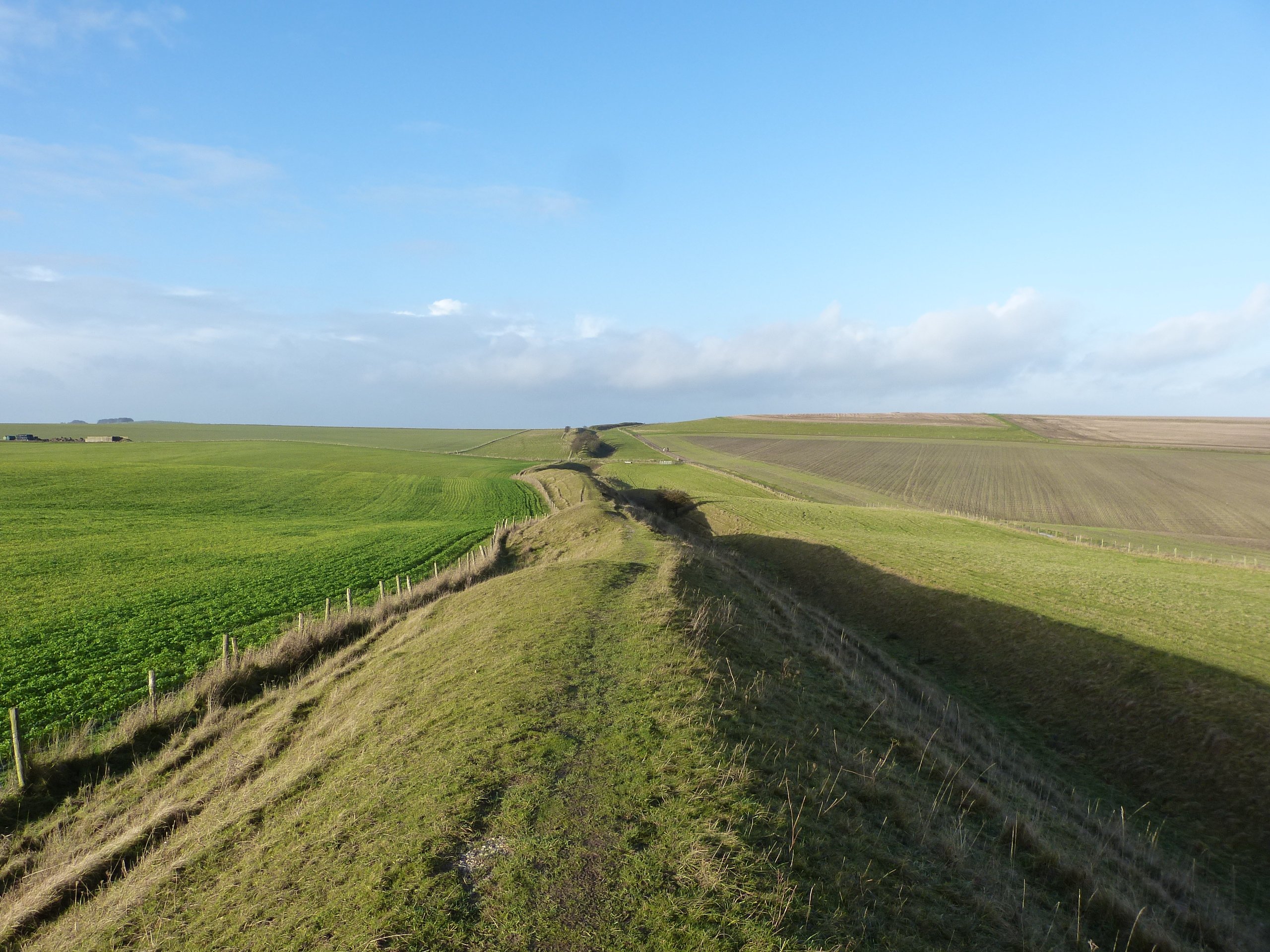

With this in mind we set off to follow the ancient earthwork up through a lightly wooded nature reserve towards the top of Morgan’s Hill. The ditch is dug deep into the white downland chalk which is exposed in places as the scraped scree of animal burrows. We stick to a path that offers easy passage outside the inner edge of the ditch, at first with a tangle of nature below to our right. Hardy trees and shrubs cling to the sides, some still bearing berries for over-wintering birds. A few have fallen, their roots ripping out more soft white rock in their desperate last efforts to hold on. Broken moss-covered stumps are left unprettily to fulfil Nature’s course. Yew, Scots Pine and Juniper, representing all three of our native conifers are among the few trees that dot the hillside here.

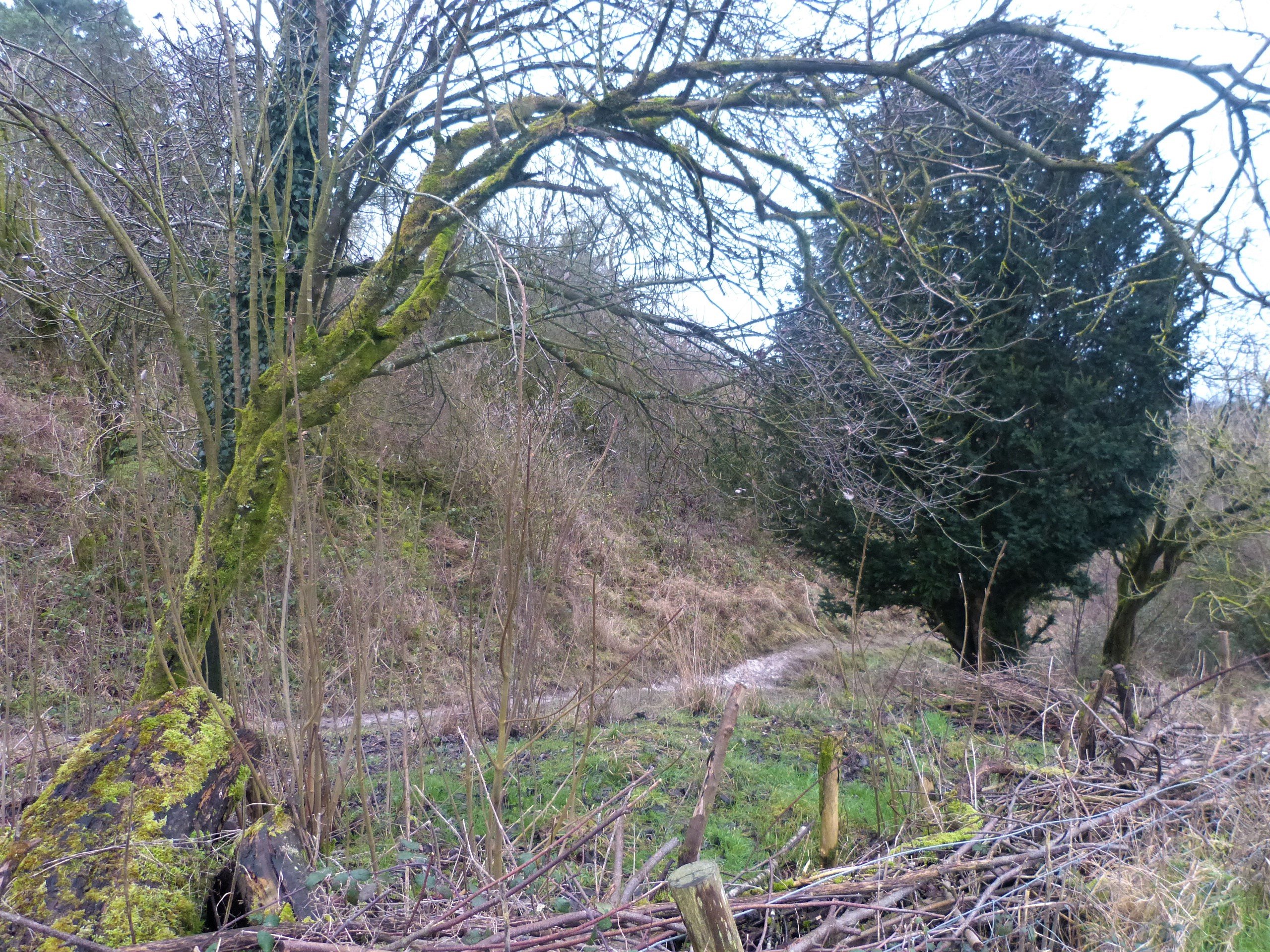
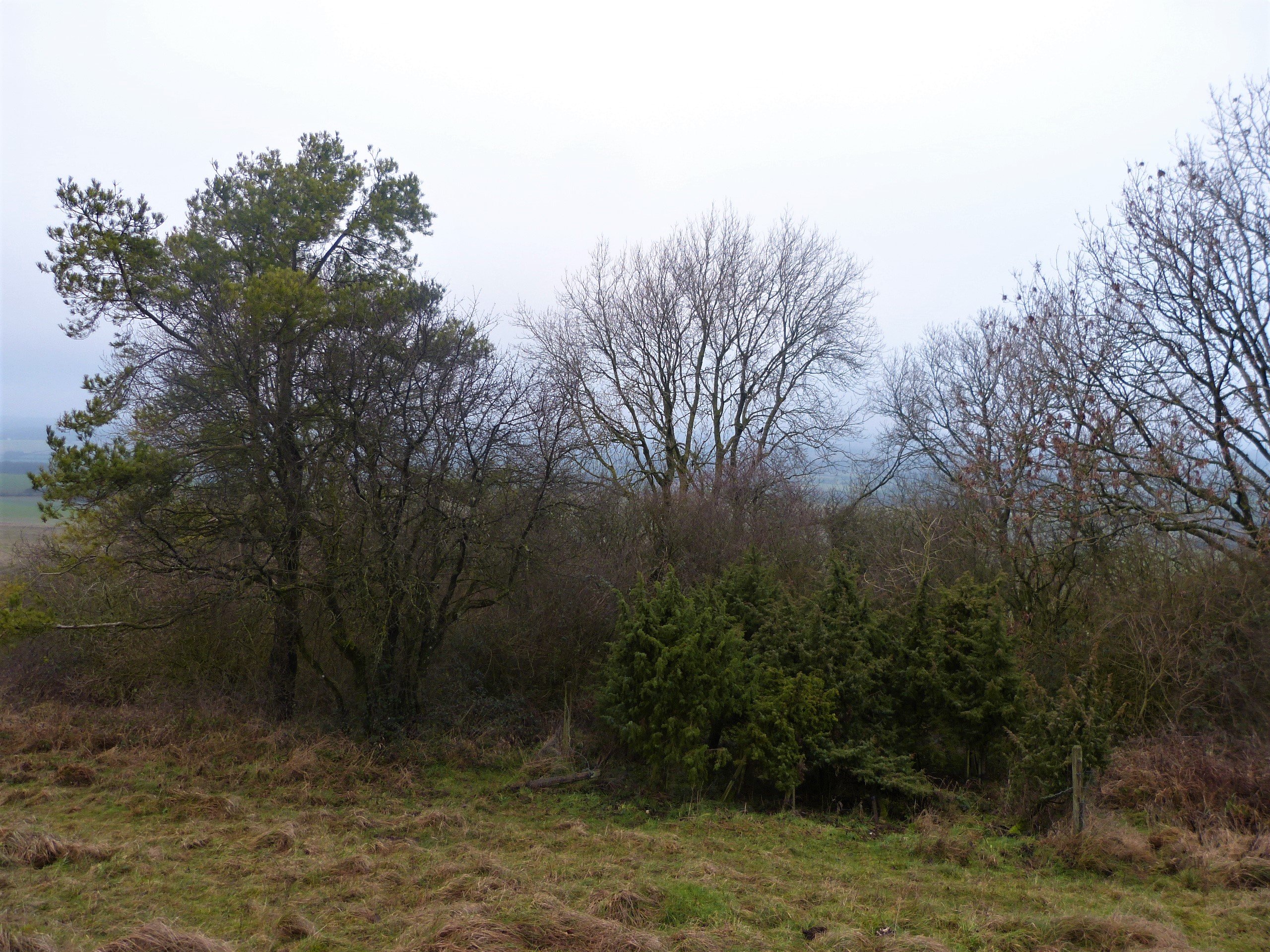
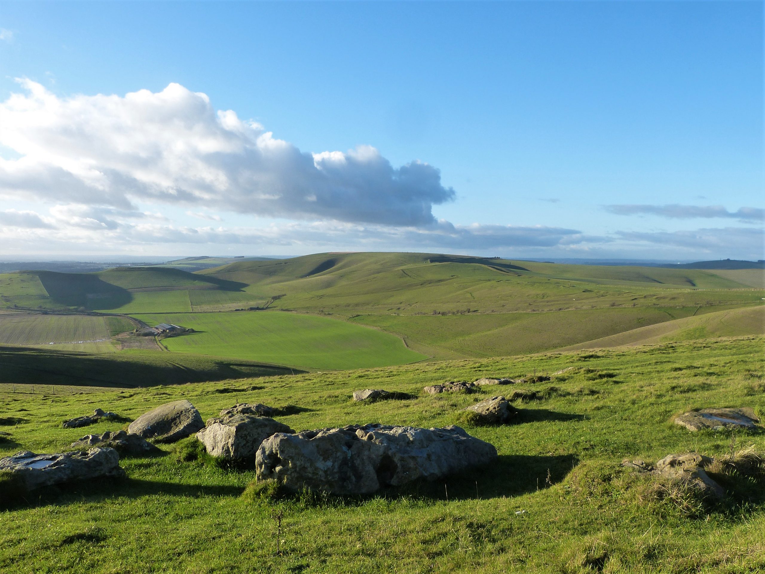
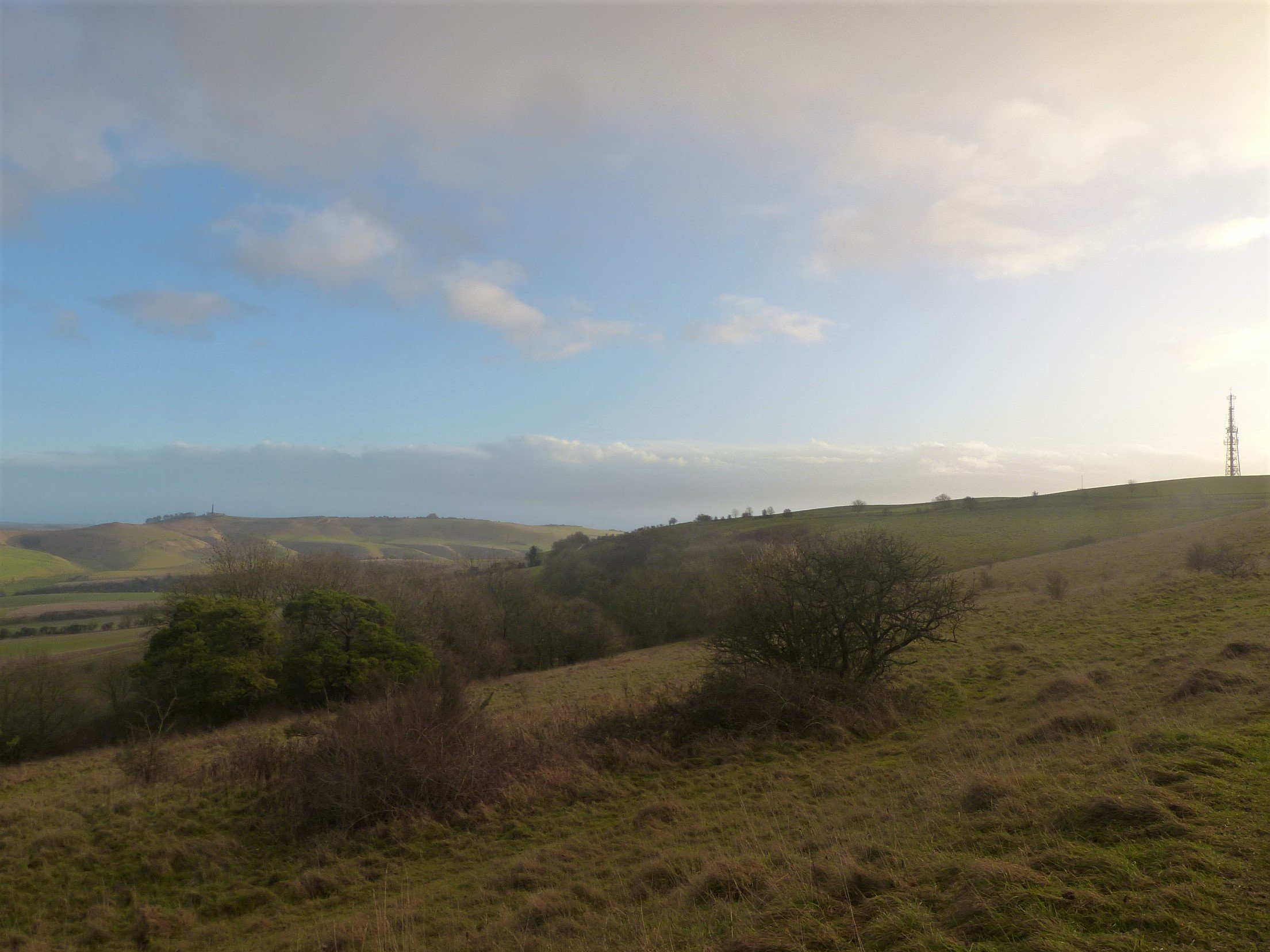
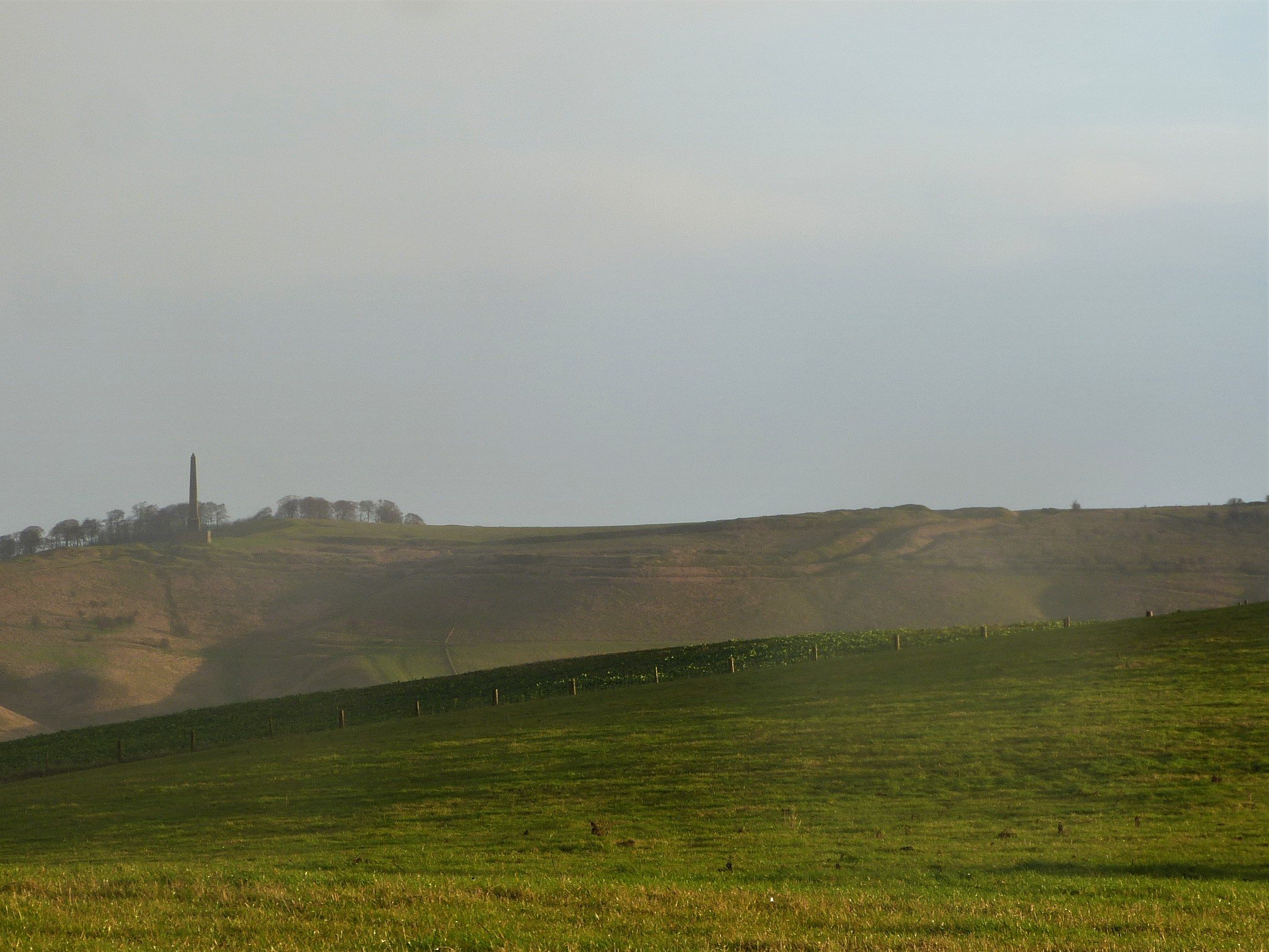
We reach the grassy expanse at the top where in the early eighteenth century a young man, John Morgan, was left hanged as an example having allegedly murdered his uncle. He shared the hilltop with several burials from a much earlier age, more decently buried under high round mounds marked on the OS map as ‘tumuli’ and generally dating from the Bronze Age. Now tall masts exploit this spot, casting different messages in all directions. The views from here are legendary, in fact the Wiltshire photographer Glyn Coy suggests that if you visit nowhere else in Wiltshire you should at least come up here: https://www.hiddenwiltshire.com/post/morgan-s-hill-calne.
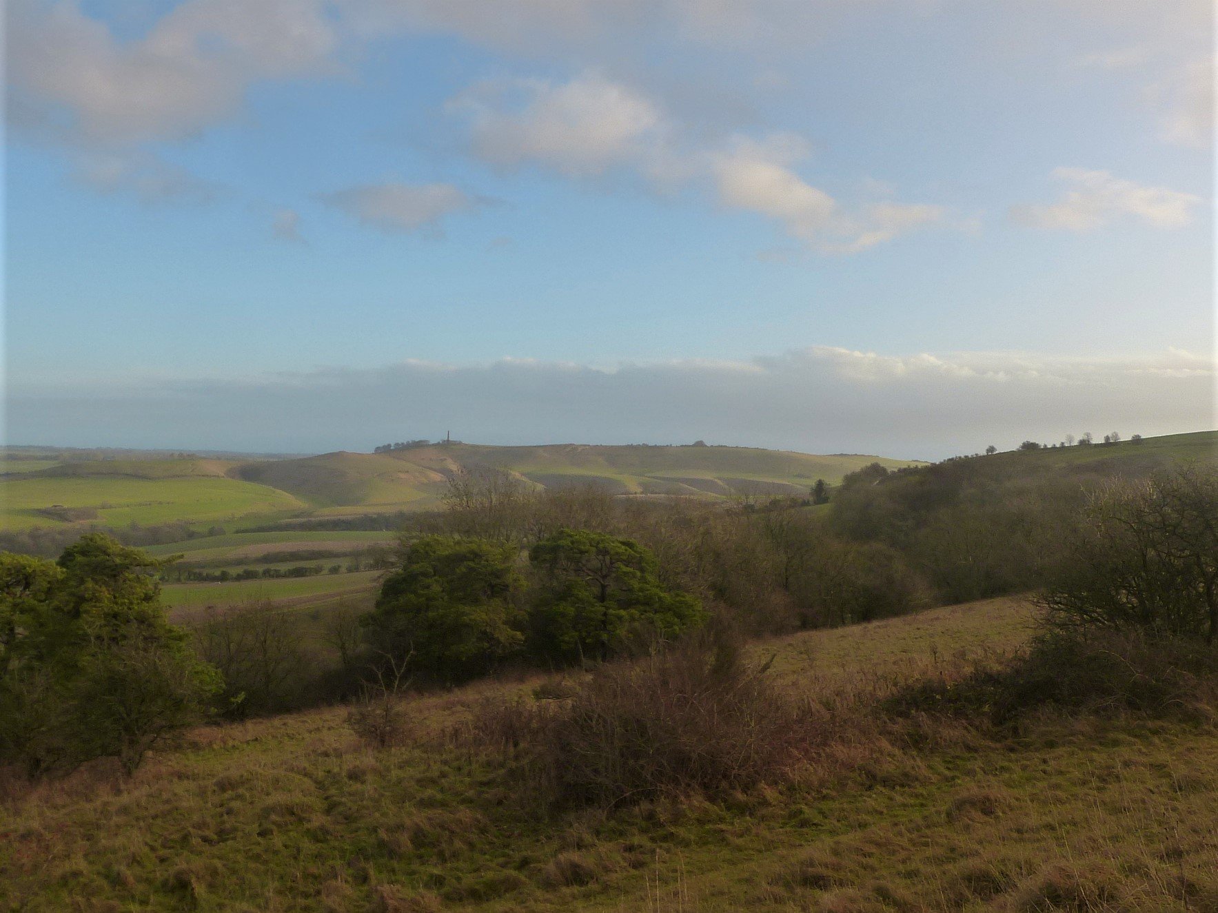
Ahead to the left is Cherhill Down with its spectacular Iron Age hillfort, Oldbury Castle, after which Oldbury Tours is named. The Roman road we crossed earlier passes close by the camp, a contemporary monument, on its way east. To the fore right we can see over our ridge into the Pewsey Vale, where lunch beckons; Salisbury Plain looking beautifully, albeit slightly alarmingly, distant beyond. To the west and south west the views are even more extensive towards the Welsh border and north you can see beyond the RAF base at Lyneham to the Cotswold hills.
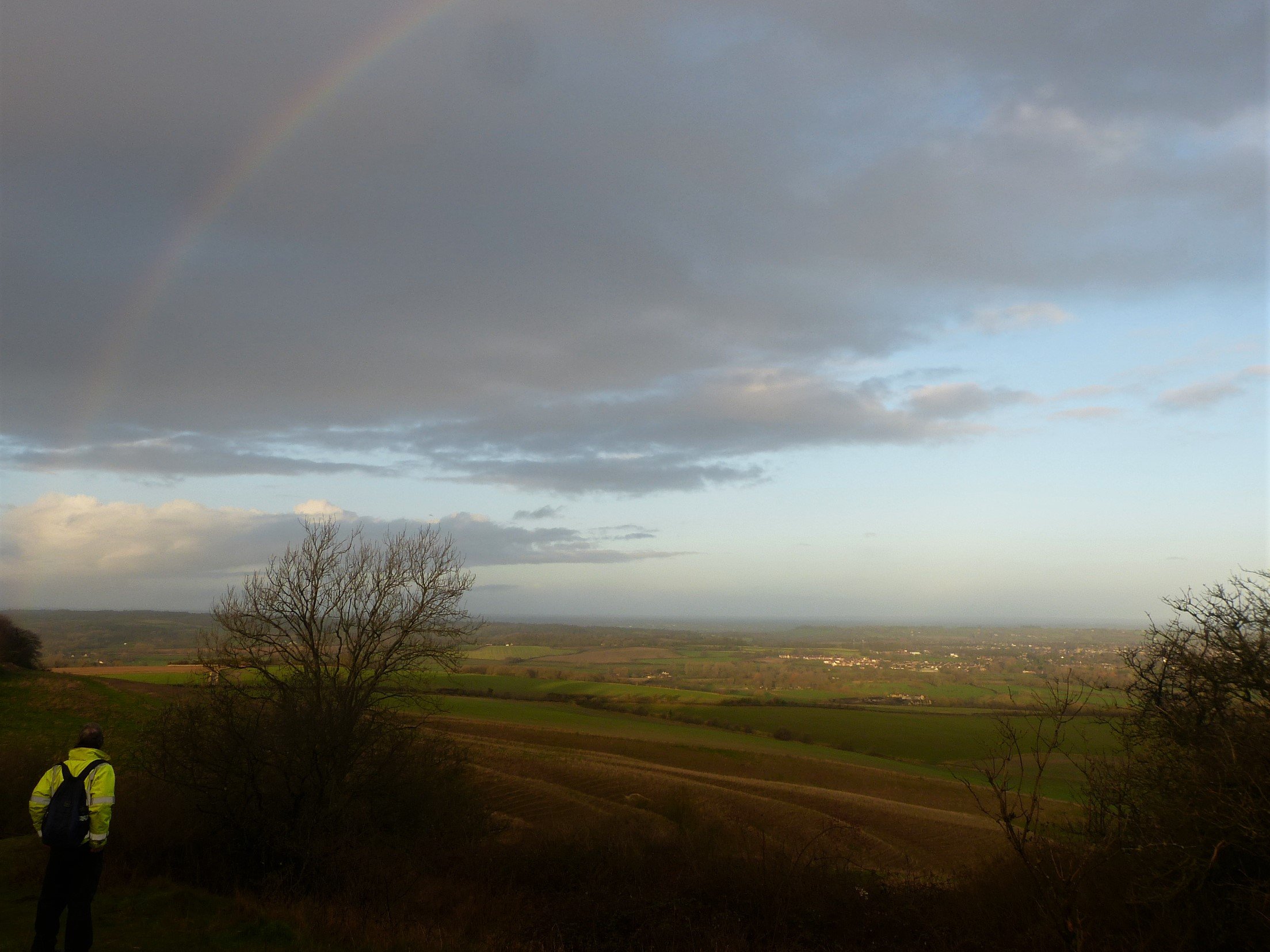
There is no-one else around, our only companions the birds of the wild Wiltshire hills. Rooks, starlings, crows, jackdaws and fieldfares flock on the ground and in the air as smaller birds whistle and tik-tik-tik in the scrub, occasionally flitting from bush to tree. Wansdyke winds beside us, over the top of the hill and, like a well-fed python, across the undulating downs ahead. In its grassy ditch morning dew still sticks to every leaf, the fallen night sky of a billion starlets glistening like liquid frost.
Our sky is a palette of morning pastels, rose and grey dappled clouds encroaching on a milky blue sky. As we cross the hill a few drops of rain escape from the edge of a darker thin cloud that stretches flat behind us to the south and west; a narrow rainbow frames the way we have come, with one bejewelled heel treading softly on the Maundrell House in Calstone, perhaps a warning of weather ahead….

We follow the route along the damp grass heading steadily downhill. A small flock of deer enjoys a breakfast of brassica or beet leaves in the field 100 feet below us. A little further on we notice a large square man-made enclosure tilted gently in our direction. Like Wansdyke this earthwork remains undated – was it built to serve the Roman military or, as some say, to serve a purpose in more recent medieval times? A descent through a small area of mixed beech and ash trees brings our first human contact of the day when three lads on off-road ‘dirt’ bikes growl their way up a track we have just crossed. Three more follow after a socially distanced gap, completing the standard posse of six. It was good to see that, despite the racket, they were following the rules.
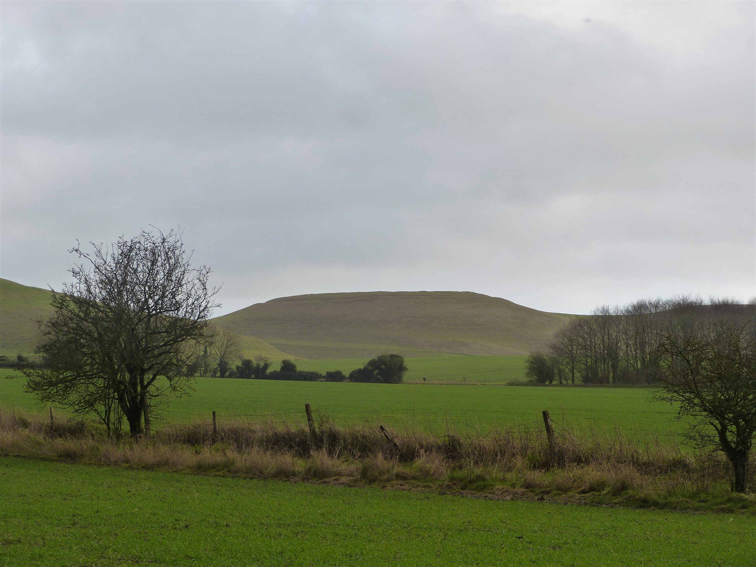
Continuing our descent we reach the bottom of the dry valley, or combe, and cross the Avebury to Devizes road. Once over we stay with Wansdyke, now climbing up out of the valley. It’s a lovely bit of the walk with rewarding views. On the downland to our left we can see Bronze Age tumuli and other earthworks from distant times. One such is Easton Down Long Barrow which, through excavation in 1860 and 1991, we know to date from the Early Neolithic period, some five and a half thousand years ago. It is one of several long barrows that we will pass today all of which, apart from one notable exception, date from the same general period.
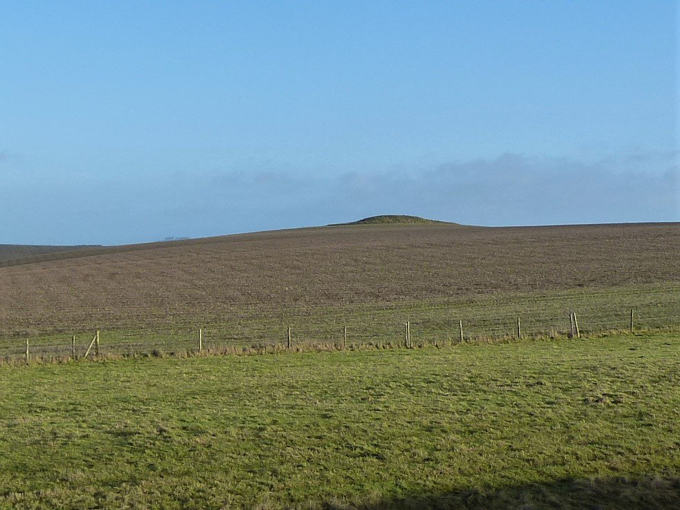
Varying in size these ancient monuments sometimes contain human remains in carefully constructed stone or timber chambers, the stone bearing examples being known as chambered long barrows. Easton Down which, despite finds of non-local Cotswold stone here, probably didn’t have stone chambers contained four human skeletons and is still an impressive mound even after all this time. Other long barrows however have only animal bones within or are just simple mounds of earth, turf and chalk: these are known collectively as earthen long barrows. All however, chambered or not, seem to mark a boundary, perhaps the limit of a Neolithic tribe’s land. The vast majority and orientated to lie in a west-east direction towards the rising sun with any burials usually at the east end. Our area, the south west, has the highest concentration of long barrows in the UK so presumably was of great importance in the early Neolithic period. Another, Roughridge Hill Long Barrow, which we now pass is partially cut by Wansdyke. It has been greatly reduced by ploughing over the years, some tumble down sarsen stones in the ditch may once have been part of the structure.
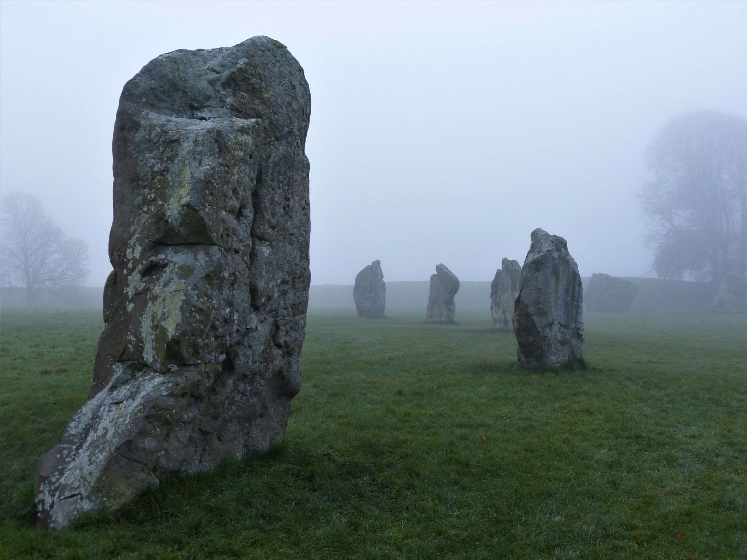
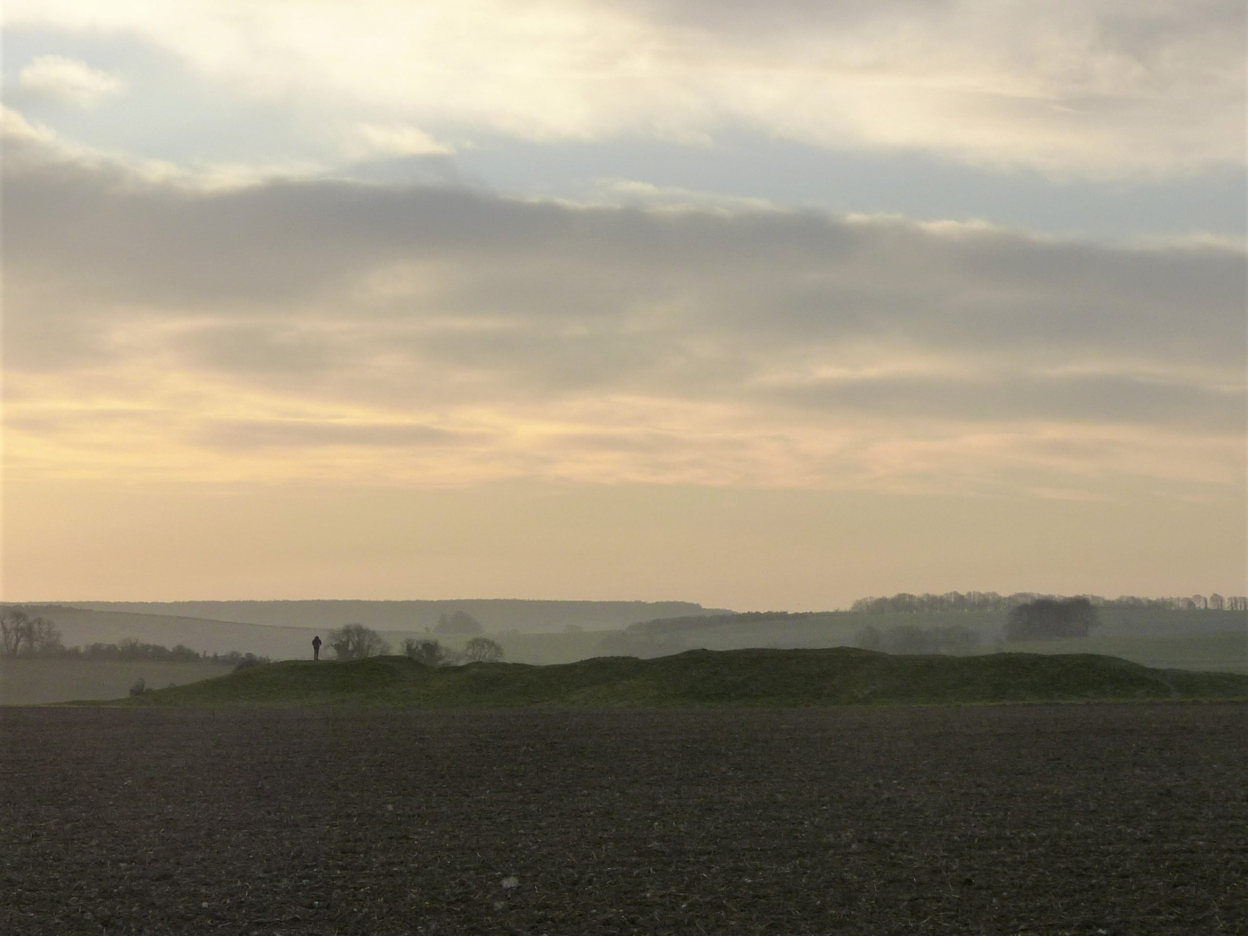
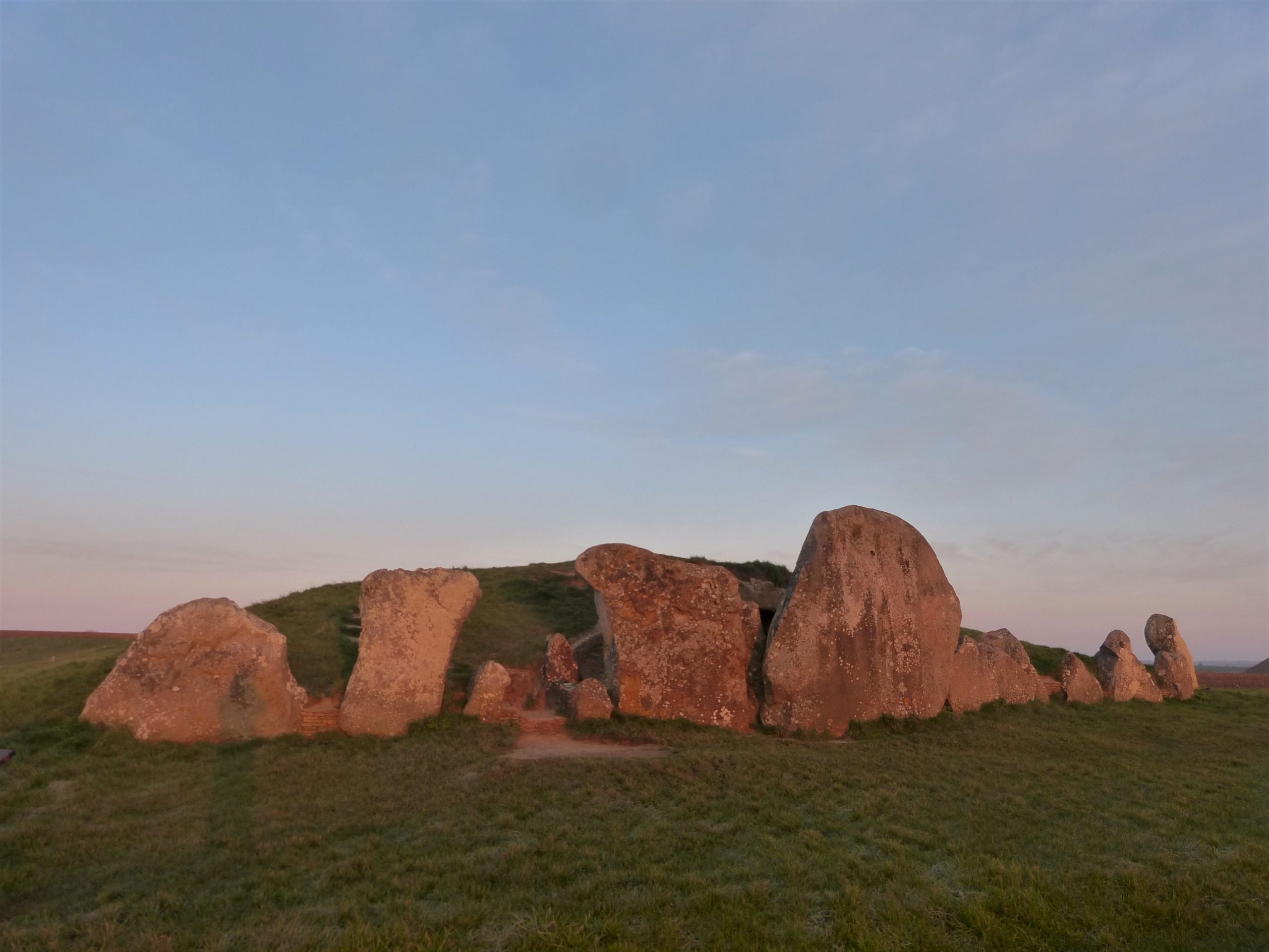
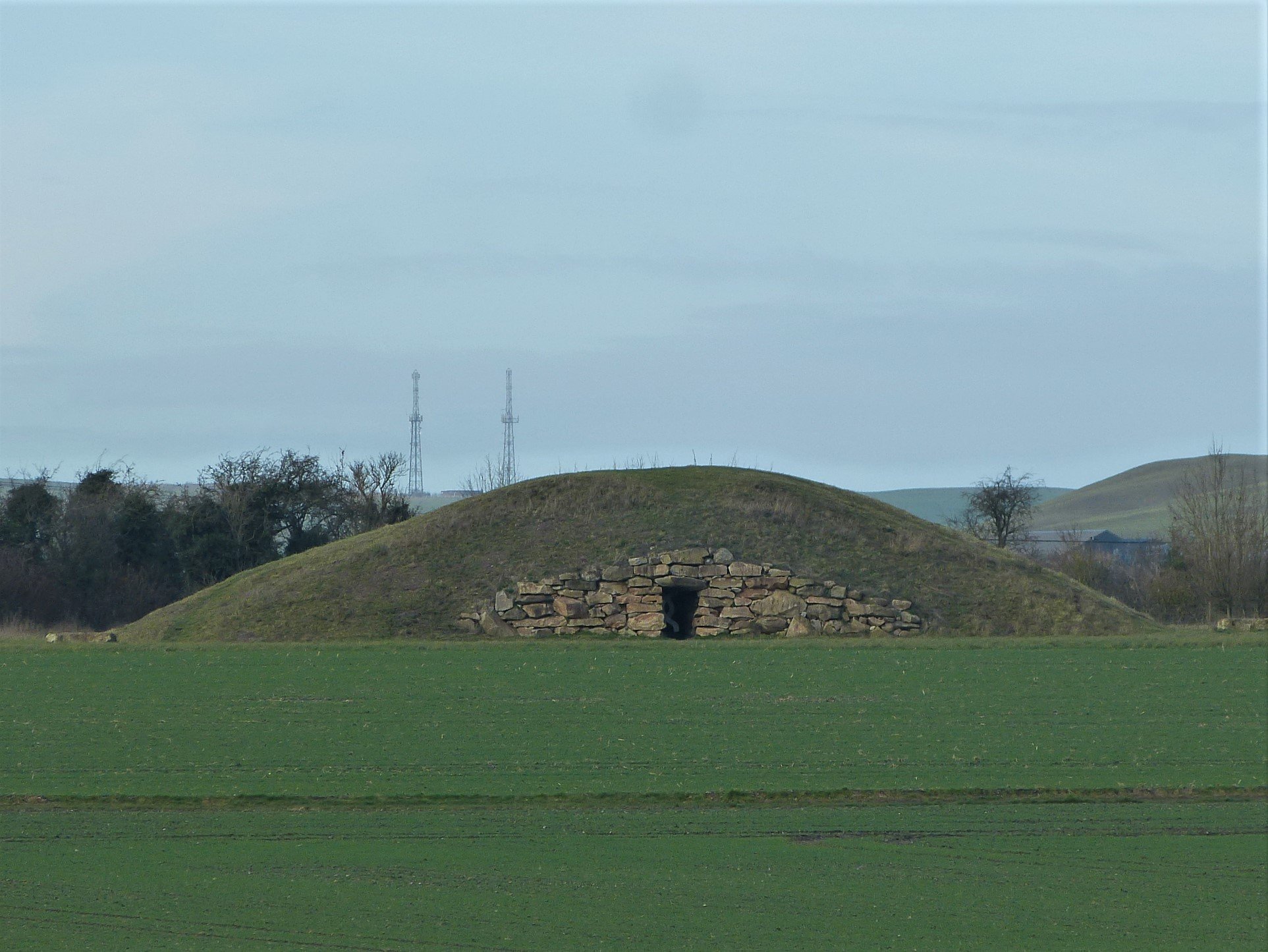
The most famous and best preserved of all the local long barrows is West Kennet Long Barrow which lies about three miles to the north east of us. I have included a few photos here that I took at dawn on the Vernal Equinox in March 2020.

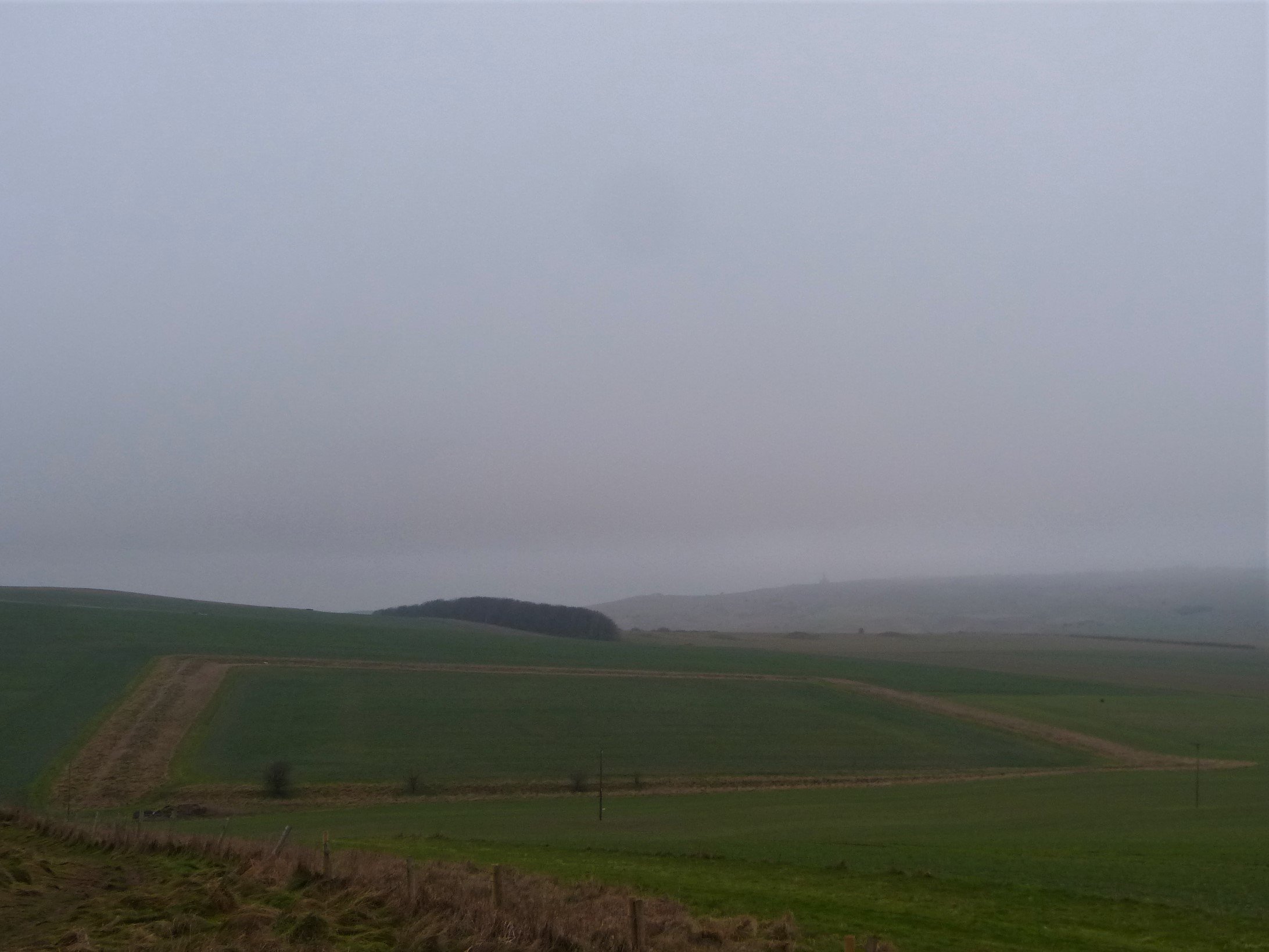
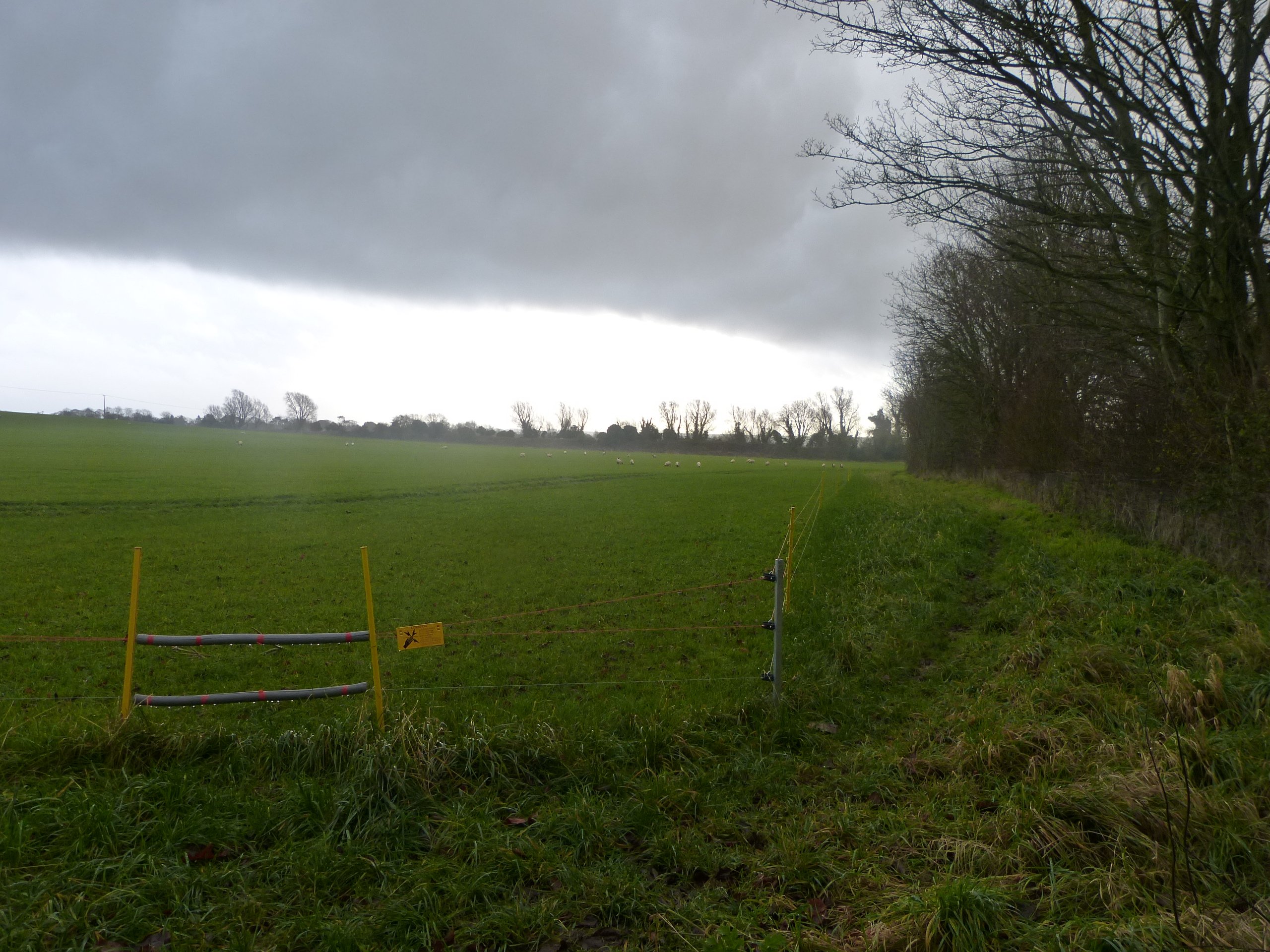
It isn’t long before we turn a right-angle right to leave the Wansdyke path and head slightly up hill towards the edge of the Pewsey Vale, another long barrow to our left on Kitchen Hill keeps watch over the valley floor below. More large roe deer scamper off across the fields to our left as we head towards an old concrete water tower that has been in our sights for sometime. This is where I suggest we have our first proper break of the day; elevenses. We can now see a storm to the south west of us which Clive optimistically predicts should pass to the west of our route. The wind however has been getting steadily stronger for the last forty minutes. Standing as we are on top of the escarpment overlooking the vale we decide to take our break in the lee of the water tower. It’s a quarter past ten now and the hot coffee tastes sublime.
Clive brings half a lardy cake, a local speciality, out of his knapsack. Wiltshire has long been famous for its pork products; the large north Wiltshire town of Swindon, 10 miles north of where we are standing, takes its name from the Saxon swin (swine) and dun (hill) and more recently, though still nearly 300 years ago, ‘the Wiltshire Cure’ method of preserving hams in brine was invented at the Harris factory in Calne our home town. The factory was shut down and demolished in the 1980s but Wiltshire Ham is still on shop shelves throughout the country. Lardy cake is a pork by-product; a moist, sticky, sweet bread made from a dough of flour, lard, sugar, dried fruit and spices baked in the oven. There is nothing quite like it especially in December on a windswept hillside.
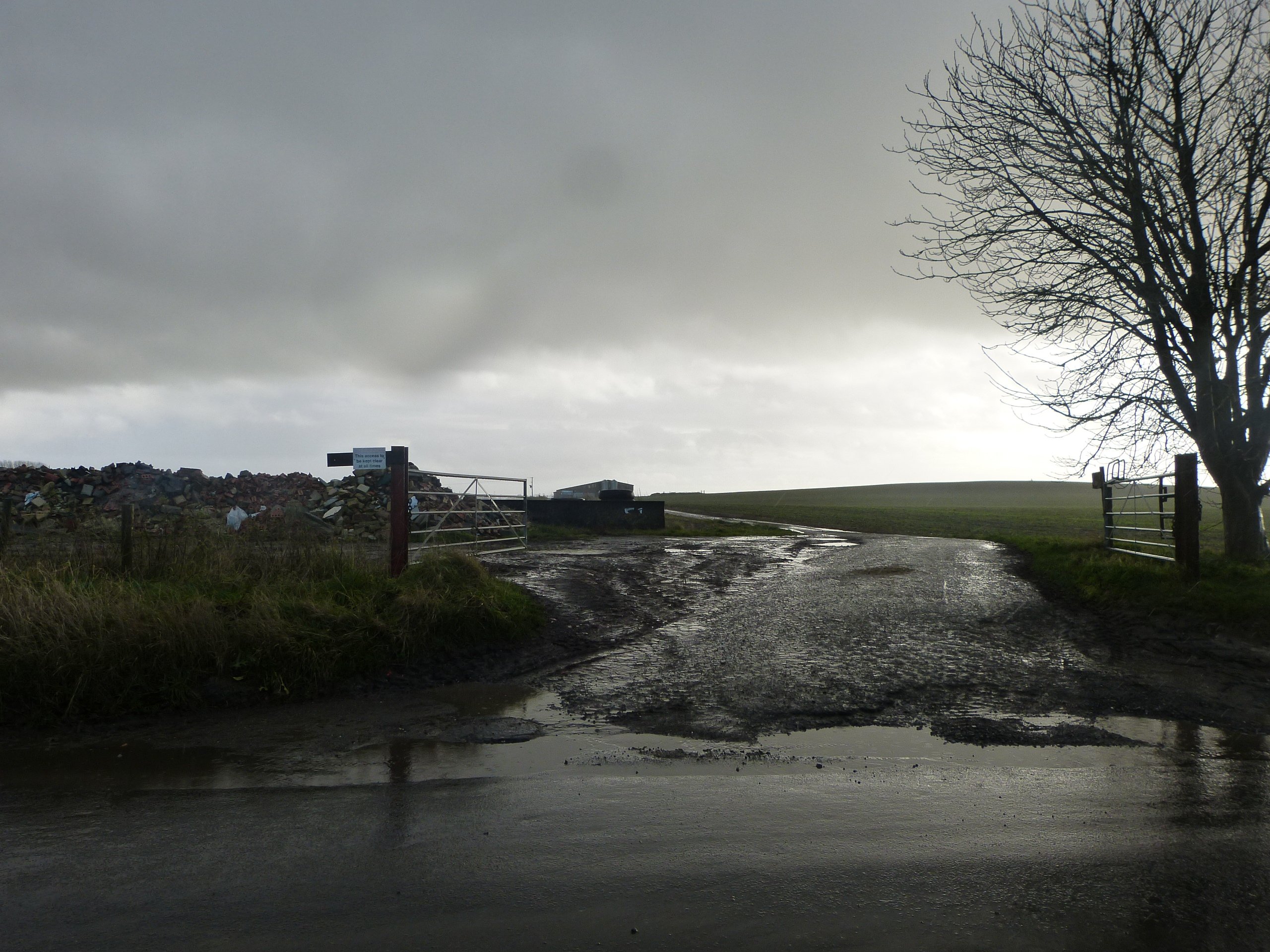
I had checked our descent from the ridge a few days earlier and knew that the main route down was a perilously steep track of slippery, grey, chalky mud, deeply rutted in places that, having negotiated it, I thought would be best avoided if possible on the day of the walk. When I neared the bottom that day I noticed a path in the bushes on my right hand side. Not having time to go back to the top I presumed that someone had made an alternative route down for themselves along the top of the bank. This I thought would be our safe route today.
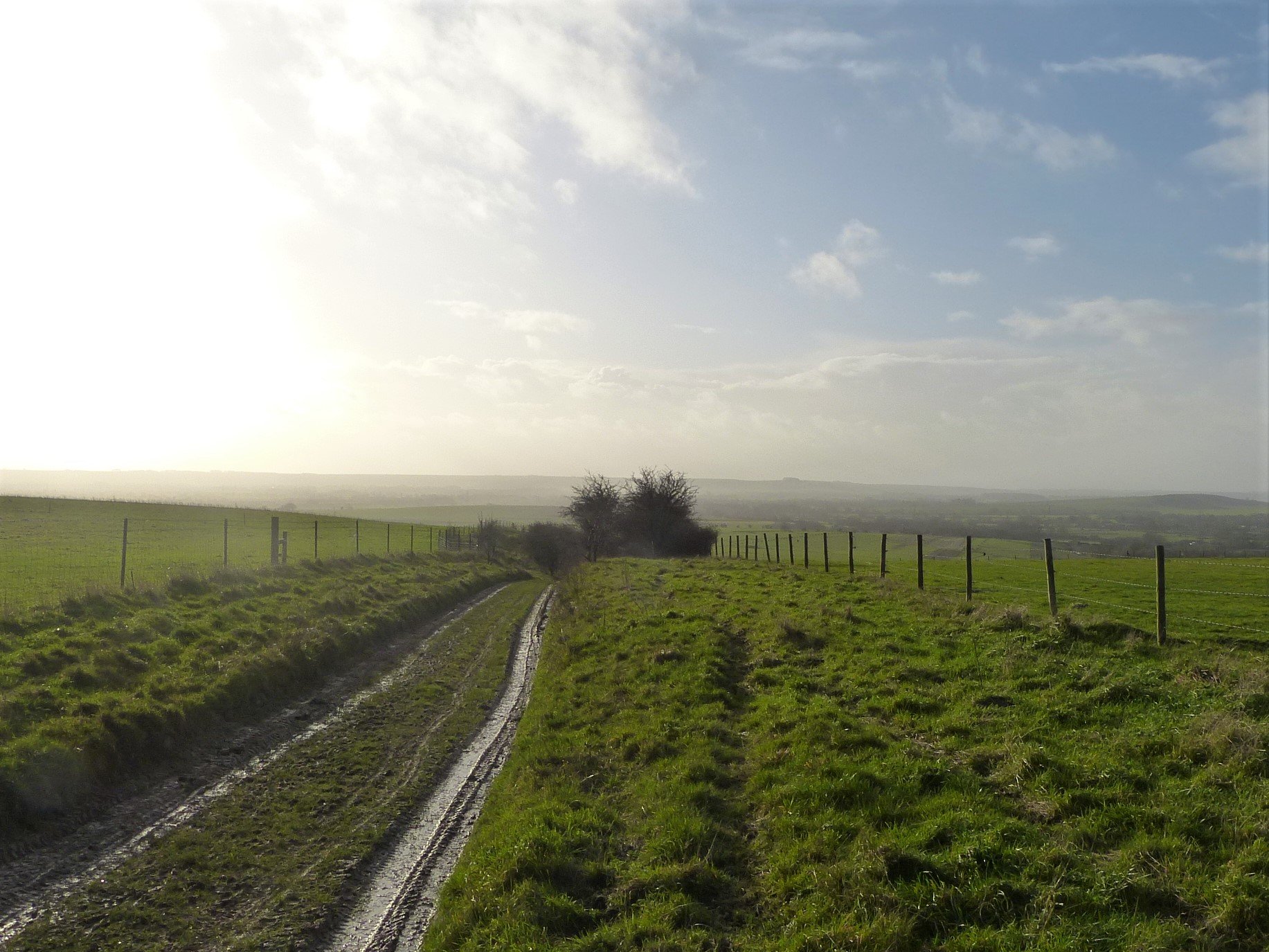

Pleased with my assumed knowledge I lead Clive off along what does indeed look like a bank top path, the slippery track some six foot below us to our left. Unfortunately it soon becomes evident that whoever made this path was considerably smaller than Clive or myself, a knee-high muntjac deer perhaps, or smaller. The narrow track at times leads directly between interlocking black thorn bushes whose leafless branches are ferociously armed with three to four inch thorns that look sturdy enough to puncture a rhino’s hide. The only way through these thickets is by reversing to protect any exposed flesh and eyes, hoping there aren’t any surprise animal burrows to stumble backwards into – it doesn’t feel very safe! Miraculously, however, we both make it down without scratches, our clothing somehow intact as well. Maybe slippery-slidey on this occasion would have been preferable.
It now becomes plain that our optimism for the storm’s path was also misplaced. Reaching the valley floor we follow a concrete farm track before turning left after some large barns, nervously eyeing the dark cloud that is now on an indisputable path to intercept our progress.
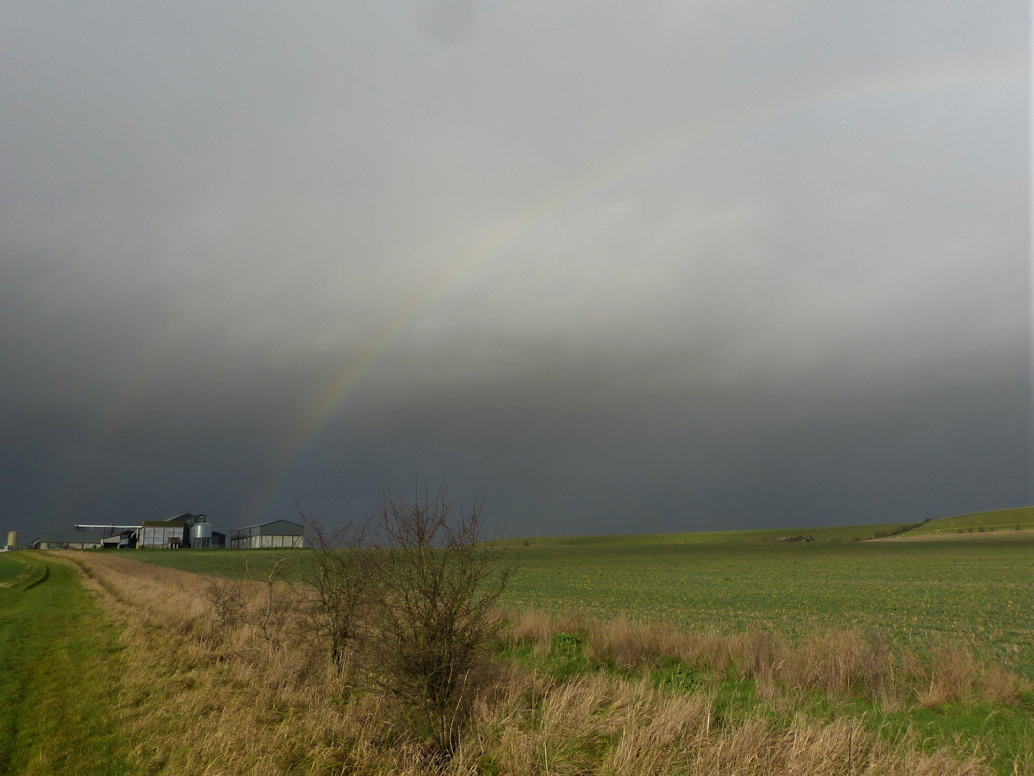
The squall hits us like something you might expect in the Irish sea, a sudden violently impressive wind accompanied by torrential, horizontal rain. It is the type of awe-inspiring weather that makes you laugh out loud. Clive falls behind adjusting his outfit, especially his hood and hat combo. I put my head down, tuck my chin in and forge ahead, feet slipping and sliding in the sucking mud.
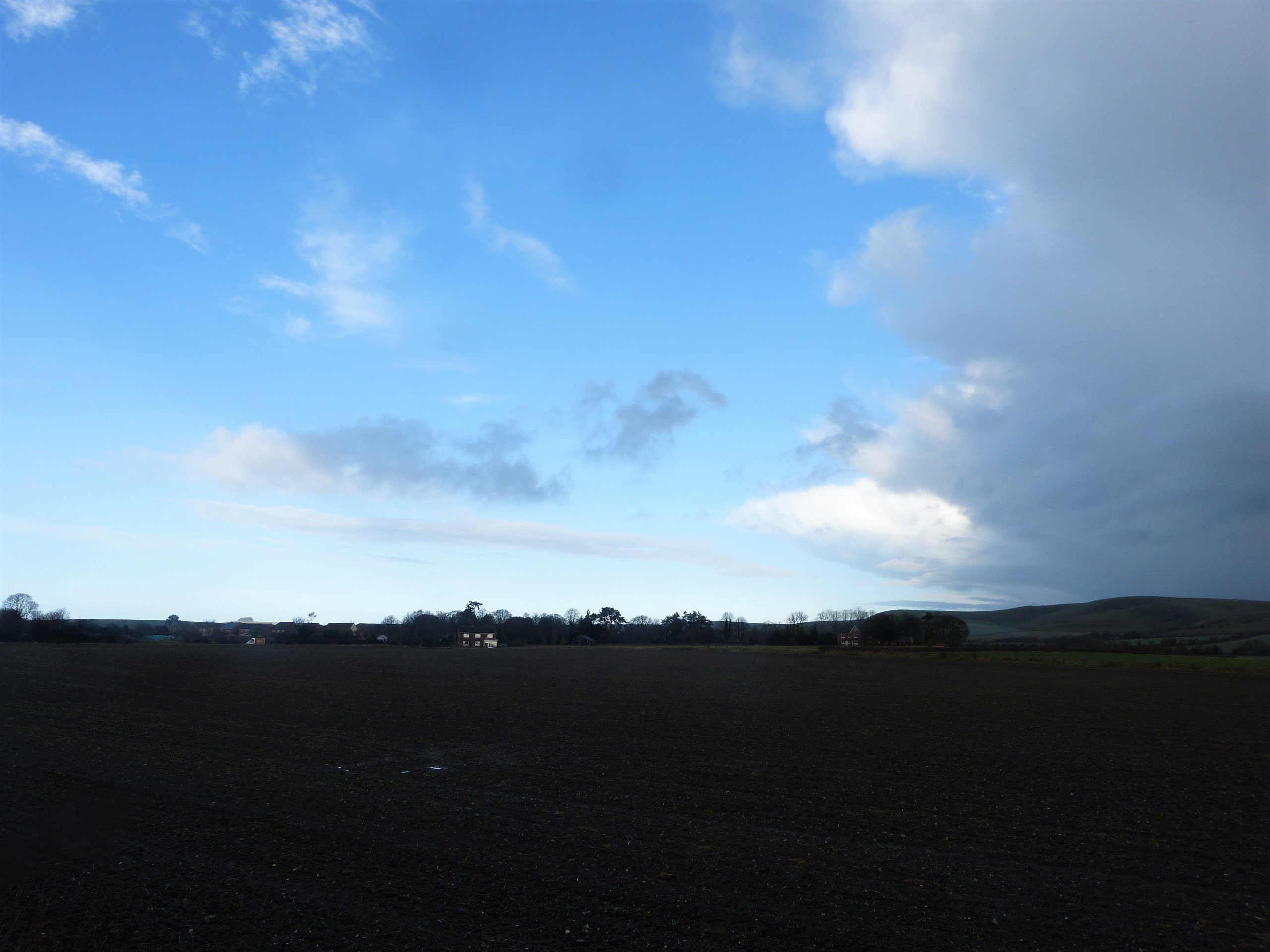
Following the field edge next to a canalised brook I battle on until I arrive at the road that runs between Alton Barnes and Devizes. After a few minutes we regroup, the first wave of the storm having moved on to drench Adam’s Grave, an extremely impressive chambered long barrow on the ridge to the North West of us: Clive in his flourescent-yellow is dry-as-a-bone fine, I am soaked to the skin from the waist down. The sun now shines briefly down on us.
Rain falling on the downland hills and valleys wells up from spring heads to form little rivulets and brooks, like the one we have just followed. The many streams in this part of the vale head south and collectively make up the head waters of the river Avon. By the time we reach our lunch stop in a couple of hours time enough of these streams will have joined to make a recognisable river: in the village of Marden it is already named the Avon.
We follow a short section of road towards Allington before heading again onto a footpath across fields. The gently sloping rich agricultural fields to our left hide one of the most important archaeological sites for the Bronze Age/Iron Age transition. First excavated in 1911 and 1920-22 by Maud Cunnington and her team from the Wiltshire Archaeology and Natural History Society, it is still disclosing fascinating insights into this critical period. The site is known as All Cannings Cross and above it on the escarpment is another impressive Iron Age site, the hillfort of Rybury. Excavations up there discovered that the hillfort in turn had been built on top of a much earlier Neolithic Causewayed Enclosure. It is fair to say then that this area was valued for the full length of our prehistoric timeline from man’s first experiments with farming and continually for the next three and a half thousand years. It is still treasured farmland today, another two thousand years on.
Stepping over an electric fence we enter a large flock of sheep that part to let us through. Reaching the far corner we cross the Kennet and Avon Canal, the lovely waterway between Reading and Bath, and continue to the village of All Cannings. Once an industrial route for barges carrying coal, stone and wool, it is now used mainly by leisure boats. Generally free from boats at this time of year, kingfishers and herons and the occasional angler hunt undisturbed. Just before crossing the canal we cast an eye up the field edge to our left. Here is one of Wiltshire’s many hidden surprises.
Tim Daw is a local farmer who has a deep rooted love and respect for our ancient sites and has, especially, a long association with Stonehenge. So, some say eccentrically, in 2014 he devoted part of his land to the building of a huge ‘Novolithic’ long barrow. To quote from his website: ‘It is built in the style of a traditional long barrow in natural materials, but made relevant for today in its internal layout…. it has internal chambers with niches and is used as a columbarium or place for cremated remains in urns to be kept. All the niches are reserved but due to circumstances changing, niches may become available…’ Is he expecting one of his niche reservers to discover the Holy Grail and the route to everlasting life, I wonder?
You can visit the long barrow at any time, it is signposted off the main road, and you can even book a tour inside the tomb once the viral ‘stone’ is rolled from the entrance: https://www.thelongbarrow.com/#VisitingtheBarrow. For Oldbury Tours’ purposes it lies conveniently in between Avebury and Stonehenge.

Our journey through All Cannings is uneventful apart from a second, marginally less violent, wave of rain that strafes us as we leave the village and we soon find ourselves crossing a road and heading back into fields. A concrete farm track leads us to a barn, which, from the sound of crashings and grunts is full of Wiltshire pigs. We trudge on across ploughed fields where a couple of weeks earlier I think I may have found a neolithic greensand pestle (see photo). It could also not be. A little further on we pass a spectacularly extended old farm house whose huge glass wall gives those inside views south towards the plain. A large pond, more a lake, has been recently excavated at our end of the gardens; several impressive reddish sarsen stones piled high to the side were presumably recovered during its digging. A line of newly planted saplings will one day deny the footpath follower our view of the house and gardens.

We turn sharp right down a lane and wind around almost back on ourselves to get to Stanton Dairy Farm, run from a handsome white Georgian farmhouse. When testing the route I found myself wandering across a grass airstrip which quickly made me reconsider my map reading and retrace my steps. This time I know the route which now takes us past ample stabling before turning left, south towards the railway line. We walk through lush, recently soaked, pastures with oak trees dotted here and there before arriving at our first stile of the walk. Once over we climb up a bank to cross the railway tracks before heading down the other side, across another stile and along a narrow very muddy path to emerge in the village of Beechingstoke.
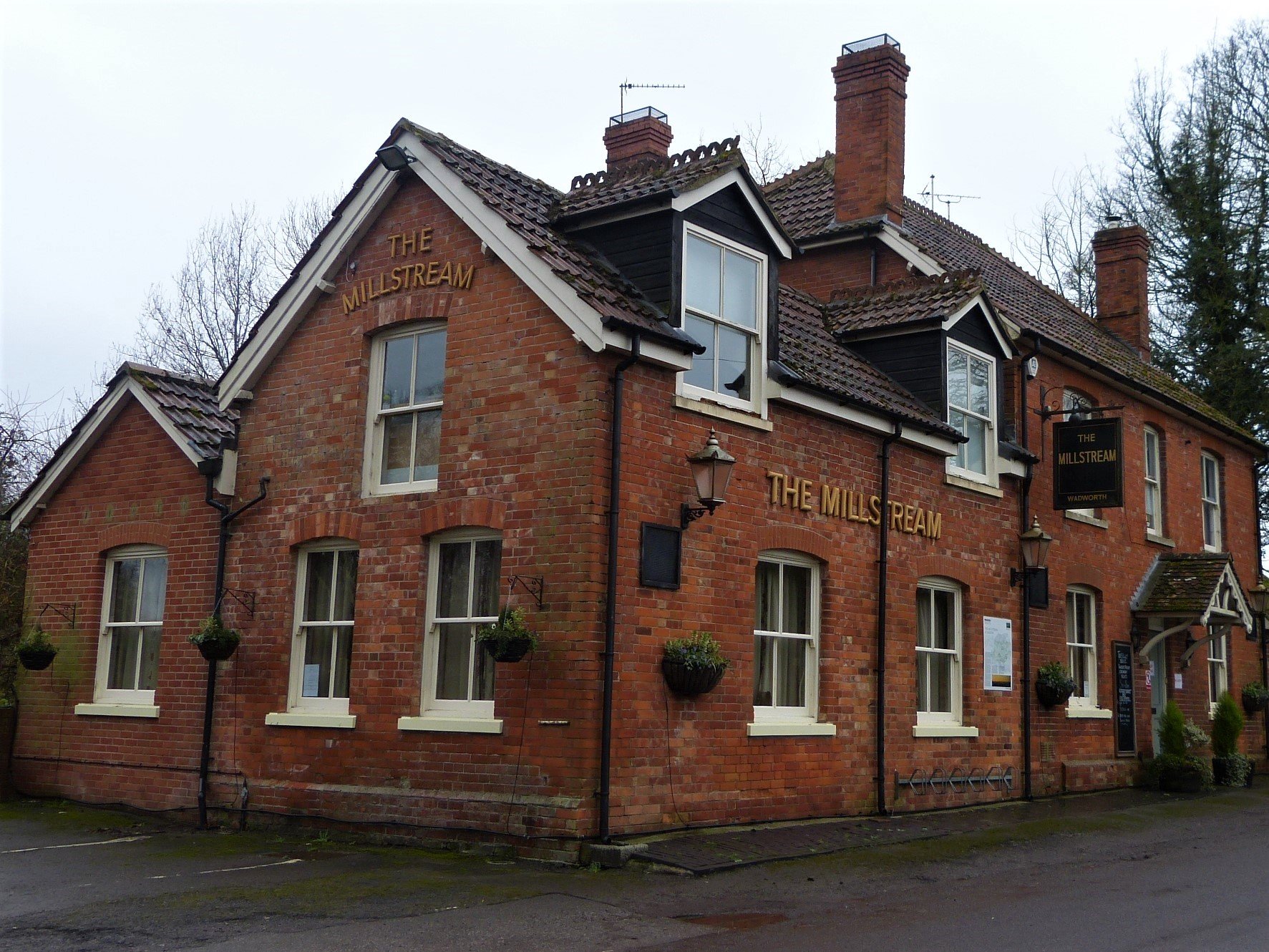
We are now in the heart of the Vale of Pewsey and don’t have far to go until lunch. A footpath leads us past a couple of disinterested munching ponies, along a field edge and around an attractive small copse to within sight of Hatfield Farm in Marden. We cross the intervening two flat fields, planted with fresh grass for the spring, and arrive at Marden henge, an important yet not well known Neolithic site. A few years ago I was thrilled to be involved in an excavation here that I will share with you in part II, but for now our stomachs urge us on towards lunch. We are actually running a bit late but luckily our partners are at the pub already and have menus and pints of beer waiting for us.
We leave Marden henge behind us and cross the two fast running streams of the Avon under a clear blue sky. As we approach the Millstream Inn my little lad comes running to meet us and we feel like we have already achieved something pretty grand. And it is only ten to one.
For part ii please click here: Stonehenge Pilgrimage Part II: Form Henge to Henge